Allabys Wood
Wood, Forest in Hertfordshire Dacorum
England
Allabys Wood
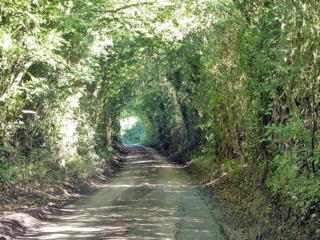
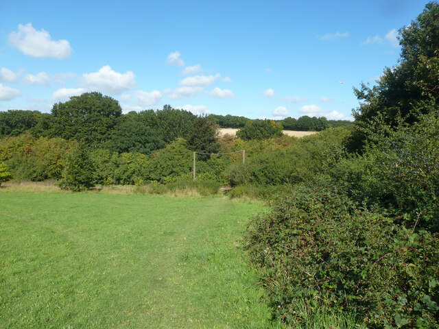
Allabys Wood is a picturesque woodland located in Hertfordshire, England. Covering an area of approximately 10 hectares, it is a popular destination for nature enthusiasts and those seeking a tranquil escape from the bustling city life.
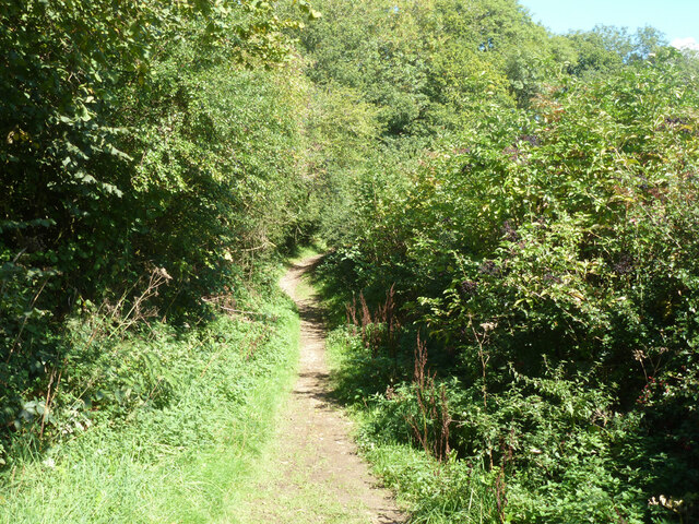
The woodland is predominantly composed of native broadleaf trees such as oak, beech, and birch, which create a dense canopy overhead. The dense undergrowth is home to a variety of flora, including bluebells, primroses, and ferns, which add bursts of color to the woodland floor during the spring and summer months.
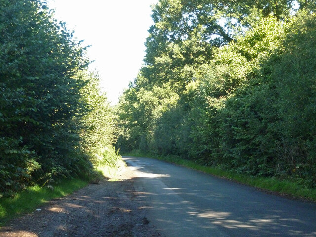
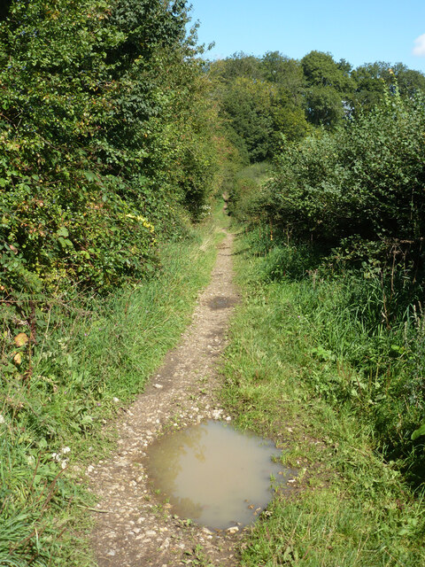
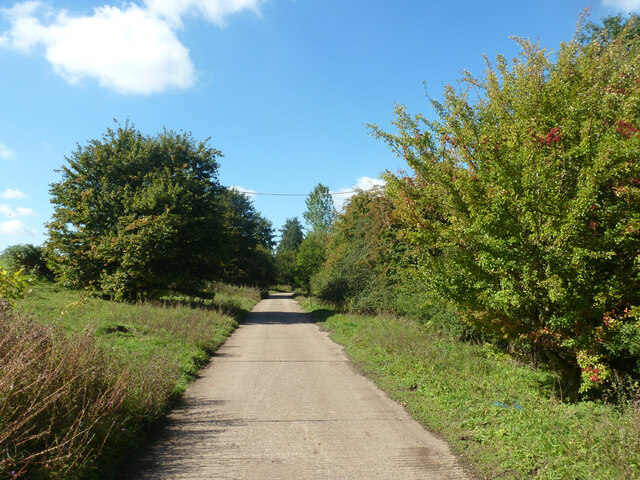
A network of well-maintained footpaths winds its way through the wood, offering visitors the opportunity to explore the area and discover its hidden treasures. Along the paths, there are several benches strategically placed, providing perfect spots for visitors to rest and immerse themselves in the peaceful surroundings.
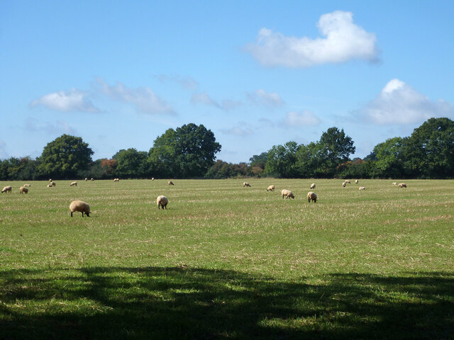
Allabys Wood is also home to a diverse range of wildlife. Birdwatchers can spot a variety of species, including woodpeckers, owls, and thrushes, while small mammals such as squirrels, hedgehogs, and rabbits can often be seen darting through the undergrowth. The occasional deer sighting is also not uncommon, adding to the sense of tranquility and natural beauty.
As a designated Site of Special Scientific Interest (SSSI), Allabys Wood is protected and managed in accordance with conservation guidelines. This ensures the preservation of the woodland's unique ecosystem and allows visitors to enjoy its natural beauty for generations to come.
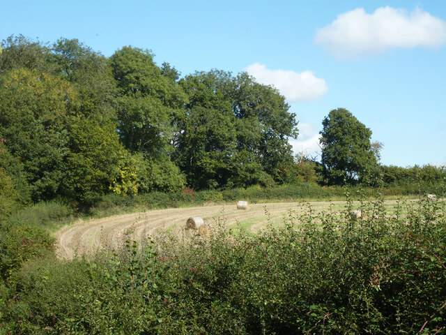
Overall, Allabys Wood offers a peaceful and serene escape into nature, providing visitors with an opportunity to connect with the natural world and experience the beauty of Hertfordshire's woodlands.
If you have any feedback on the listing, please let us know in the comments section below.
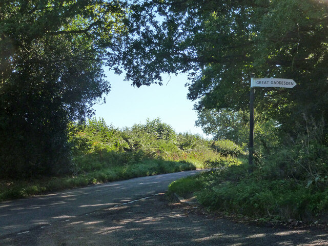
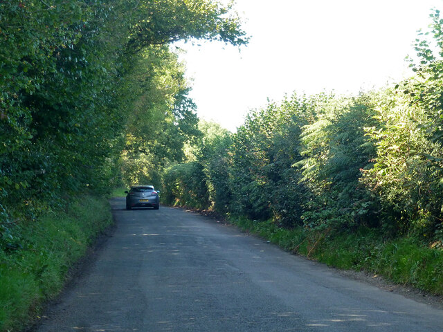
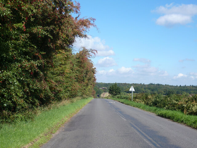
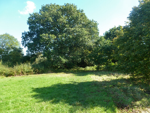
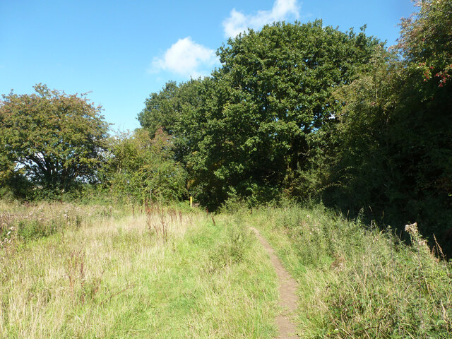
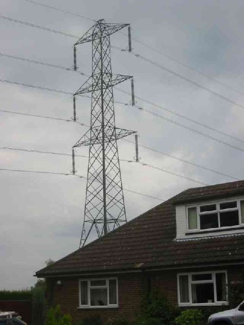
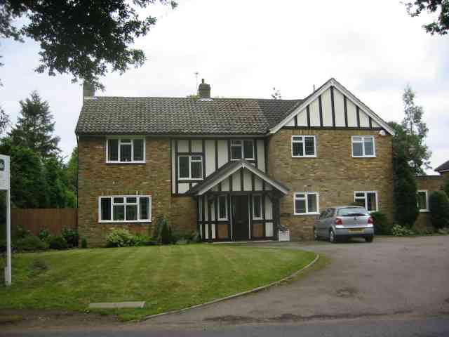
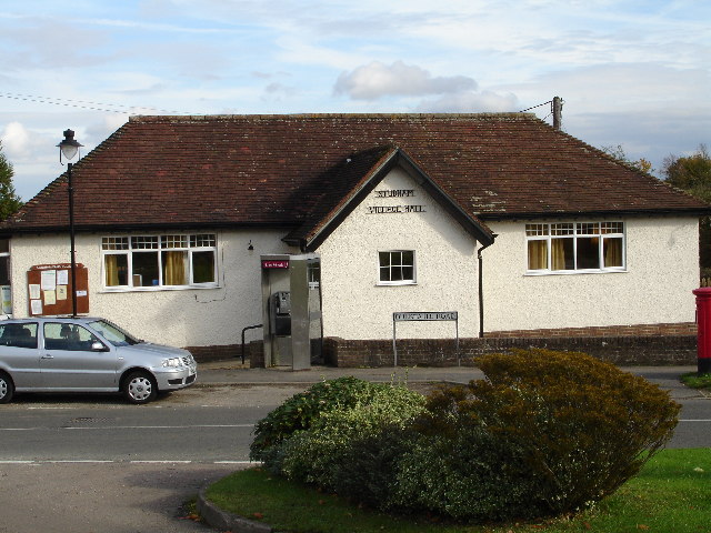
Allabys Wood Images
Images are sourced within 2km of 51.819764/-0.48763661 or Grid Reference TL0414. Thanks to Geograph Open Source API. All images are credited.
Allabys Wood is located at Grid Ref: TL0414 (Lat: 51.819764, Lng: -0.48763661)
Administrative County: Hertfordshire
District: Dacorum
Police Authority: Hertfordshire
What 3 Words
///detergent.soil.occupiers. Near Markyate, Hertfordshire
Nearby Locations
Related Wikis

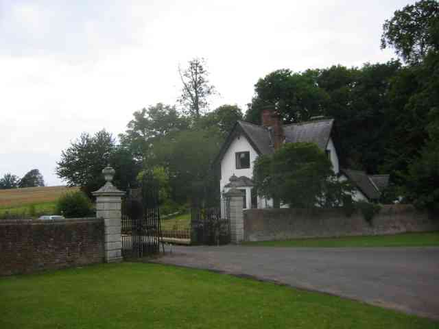
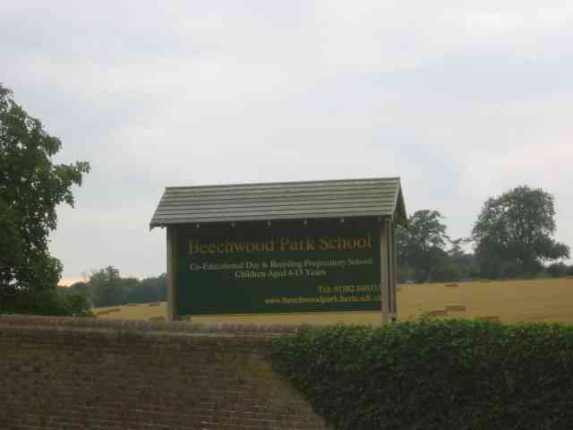
Beechwood Park (mansion)
Beechwood Park was a mansion, near Markyate, Hertfordshire, England. It now houses Beechwood Park School. == History == Ralph de Tony held this site, in...

Ballingdon Bottom
Ballingdon Bottom is a valley in Hertfordshire, England. It forms part of the boundary between the civil parishes of Flamstead and Great Gaddesden....
Cheverells
Cheverells is a Grade II* listed dower house to the Beechwood Park estate in Hertfordshire, England. It dates from around 1693. == References ==

The Hoo, Great Gaddesden
The Hoo is a Grade II* listed country house in Great Gaddesden, Hertfordshire, England. It dates from around 1683. In 1944 it was in use as a maternity...

Golden Parsonage
The Golden Parsonage is a Grade II* listed country house in Great Gaddesden, Hertfordshire, and is part of the Gaddesden Estate. The house remains in the...
Studham
Studham is a village and civil parish in the county of Bedfordshire. It has a population of 1,182. The parish bounds to the south of the Buckinghamshire...
Markyate Rural District
Markyate Rural District was a short-lived rural district in Hertfordshire, England from 1894 to 1897, on the borders with Bedfordshire. The district was...

Markyate
Markyate () is a village and civil parish in north-west Hertfordshire, close to the border with Bedfordshire and Buckinghamshire. == Geography == The name...
Nearby Amenities
Located within 500m of 51.819764,-0.48763661Have you been to Allabys Wood?
Leave your review of Allabys Wood below (or comments, questions and feedback).