Lenton Pasture
Wood, Forest in Lincolnshire South Kesteven
England
Lenton Pasture
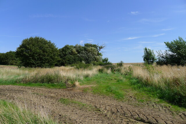
Lenton Pasture is a charming woodland area located in Lincolnshire, England. Spread across an approximate area of 50 acres, this lush green expanse is a natural haven for wildlife and a popular destination for nature enthusiasts and hikers alike.
The woodland is primarily made up of deciduous trees, with a prominent presence of oak, beech, and birch trees. These towering giants provide a dense canopy that creates a cool and peaceful atmosphere within the forest. The forest floor is covered with a carpet of ferns, wildflowers, and moss, adding to the picturesque beauty of the surroundings.
Lenton Pasture is home to a diverse range of wildlife, including various bird species, mammals, and insects. Birdwatchers can spot a variety of feathered friends, such as woodpeckers, owls, and thrushes, while lucky visitors might catch a glimpse of the elusive deer or fox that inhabit the area.
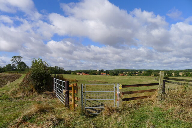
The woodland also offers several walking trails, allowing visitors to explore the beauty of Lenton Pasture at their own pace. These trails wind through the forest, crossing babbling brooks and leading to scenic viewpoints. Along the way, informative signage provides insights into the flora and fauna found in the area, enhancing the educational experience for visitors.
Lenton Pasture is a true gem in the Lincolnshire countryside, offering a peaceful retreat for nature lovers and a chance to connect with the beauty of the natural world. It serves as a reminder of the importance of preserving and protecting our woodlands for future generations to enjoy.
If you have any feedback on the listing, please let us know in the comments section below.
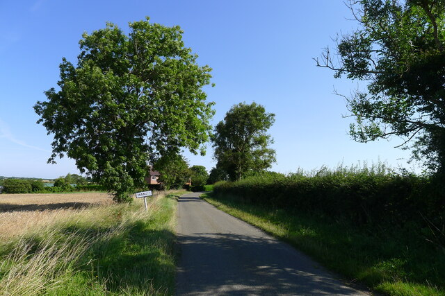
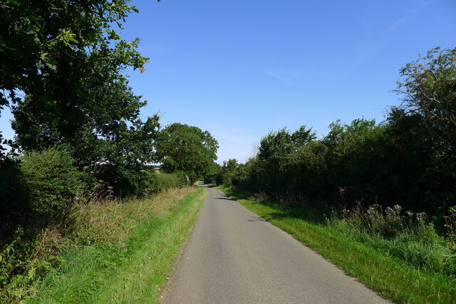
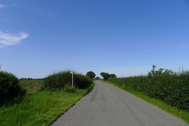
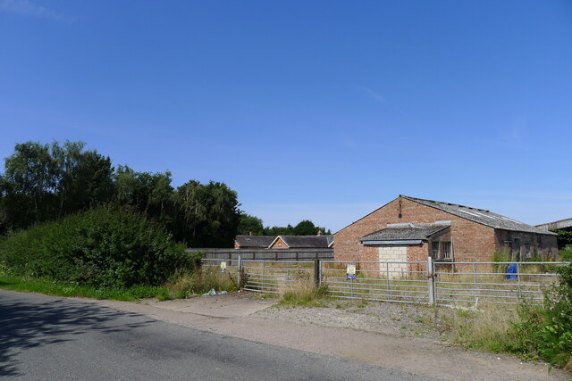
Lenton Pasture Images
Images are sourced within 2km of 52.871955/-0.45113493 or Grid Reference TF0431. Thanks to Geograph Open Source API. All images are credited.


Lenton Pasture is located at Grid Ref: TF0431 (Lat: 52.871955, Lng: -0.45113493)
Administrative County: Lincolnshire
District: South Kesteven
Police Authority: Lincolnshire
What 3 Words
///buzzards.airbag.apartment. Near Billingborough, Lincolnshire
Nearby Locations
Related Wikis
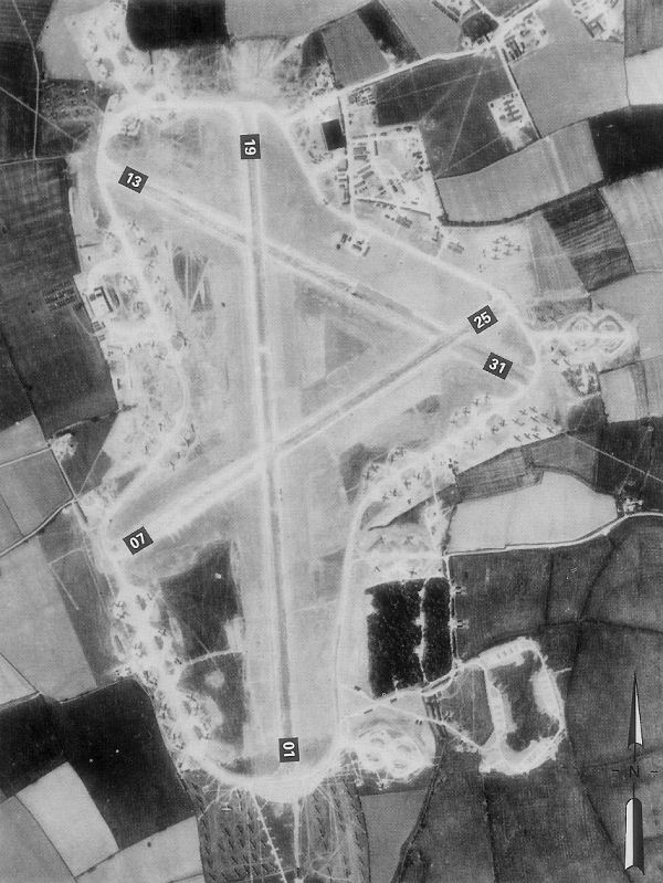
RAF Folkingham
Royal Air Force Folkingham or RAF Folkingham is a former Royal Air Force station located south west of Folkingham, Lincolnshire and about 29 miles (47...
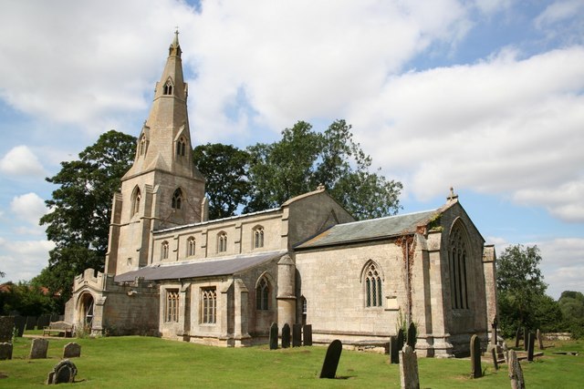
Pickworth, Lincolnshire
Pickworth is a village and civil parish in the South Kesteven district of Lincolnshire, England. The population of the civil parish including Braceby and...

Hanby, Lincolnshire
Hanby is a hamlet in the South Kesteven district of Lincolnshire, England. It is situated between Lenton and Ropsley Heath, on the line of the Roman...

Lenton, Keisby and Osgodby
Lenton, Keisby and Osgodby is a civil parish in South Kesteven, Lincolnshire, England. The population of the civil parish at the 2011 census was 187....

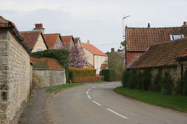
Lenton, Lincolnshire
Lenton is a hamlet in the district of South Kesteven, Lincolnshire, England. It is situated approximately 7 miles (11 km) south-east from Grantham, and...

Keisby
Keisby is a small hamlet in the district of South Kesteven, in Lincolnshire, England. It is situated 6 miles (10 km) north-west from Bourne and 9 miles...

Aslackby and Laughton
Aslackby and Laughton is a civil parish in the South Kesteven district of Lincolnshire, England. According to the 2001 census the parish had a population...
Sapperton, Lincolnshire
Sapperton is a village in the South Kesteven district of Lincolnshire, England. The nearest town is Grantham, 6 miles (9.7 km) to the west. Adjacent villages...
Nearby Amenities
Located within 500m of 52.871955,-0.45113493Have you been to Lenton Pasture?
Leave your review of Lenton Pasture below (or comments, questions and feedback).