Dean Wood

Wood, Forest in Hertfordshire Dacorum

England

Dean Wood

Ledgemore Lane The narrow strip of woodland to the left is Hoo Belt.
Ledgemore Lane Credit: Robin Webster

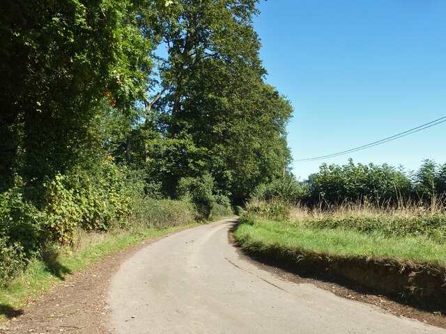
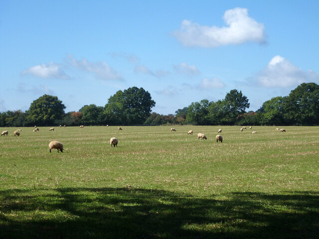
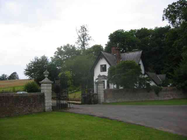
Dean Wood is a small village located in the county of Hertfordshire, England. The village is situated in the southern part of the county, near the town of Hemel Hempstead. It is known for its abundant woodlands and picturesque forest scenery.

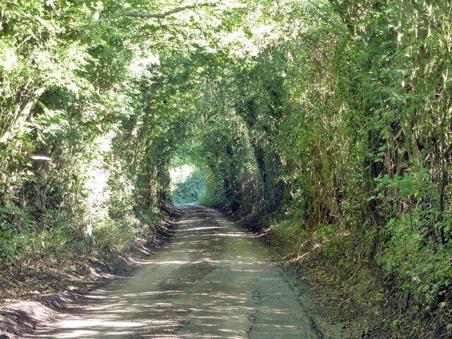
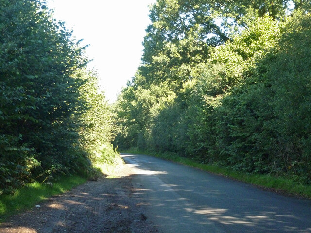
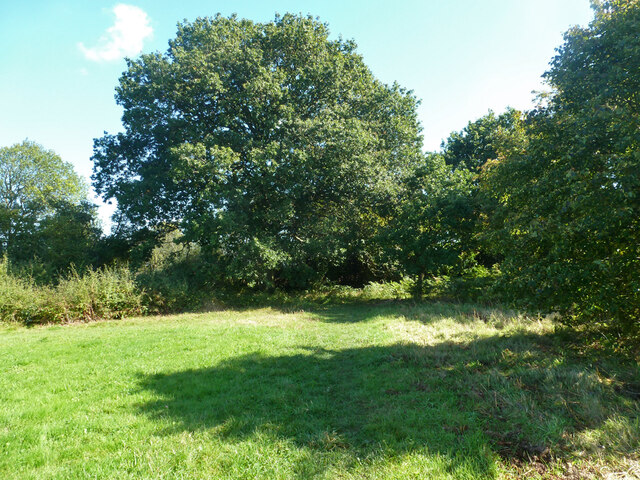
The village is surrounded by an extensive forest area, which gives it its name and makes it an attractive destination for nature lovers and outdoor enthusiasts. The forest is home to a diverse range of flora and fauna, including oak, beech, and birch trees, as well as various species of birds and mammals.

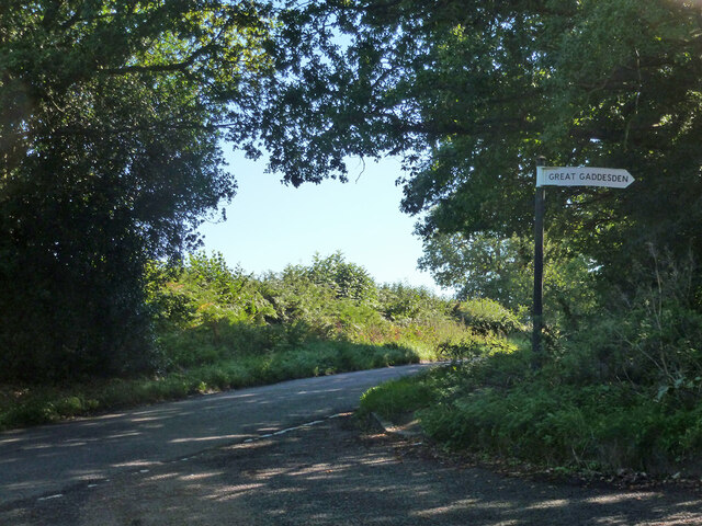
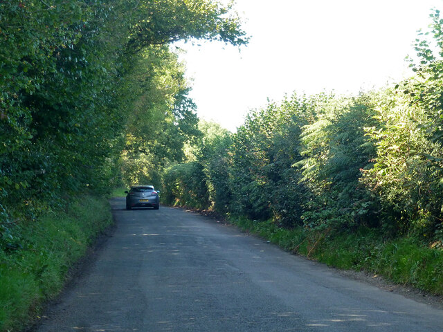
In terms of amenities, Dean Wood offers limited facilities within the village itself. However, nearby towns such as Hemel Hempstead and Watford provide a wider range of shops, restaurants, and services. The village is well-connected to these towns and other nearby areas via a network of roads and public transportation.

The village also has a strong sense of community, with various social and recreational activities organized throughout the year. Residents can enjoy local events, such as fairs and festivals, which bring the community together.

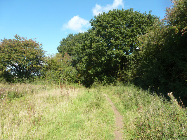
Overall, Dean Wood is a tranquil and idyllic village, known for its scenic woodlands and close-knit community. It offers a peaceful retreat for those seeking a break from city life, while still providing easy access to nearby urban centers.

If you have any feedback on the listing, please let us know in the comments section below.
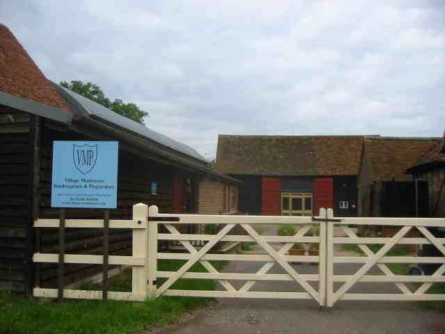
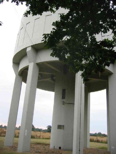
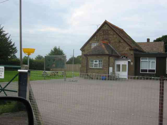
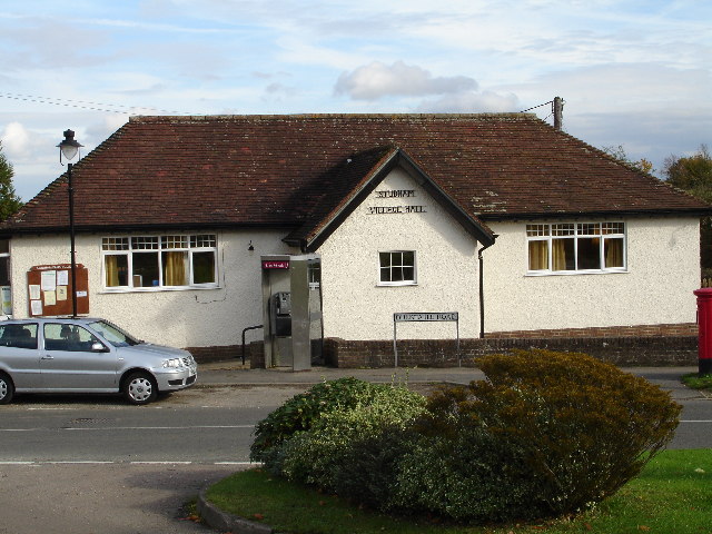
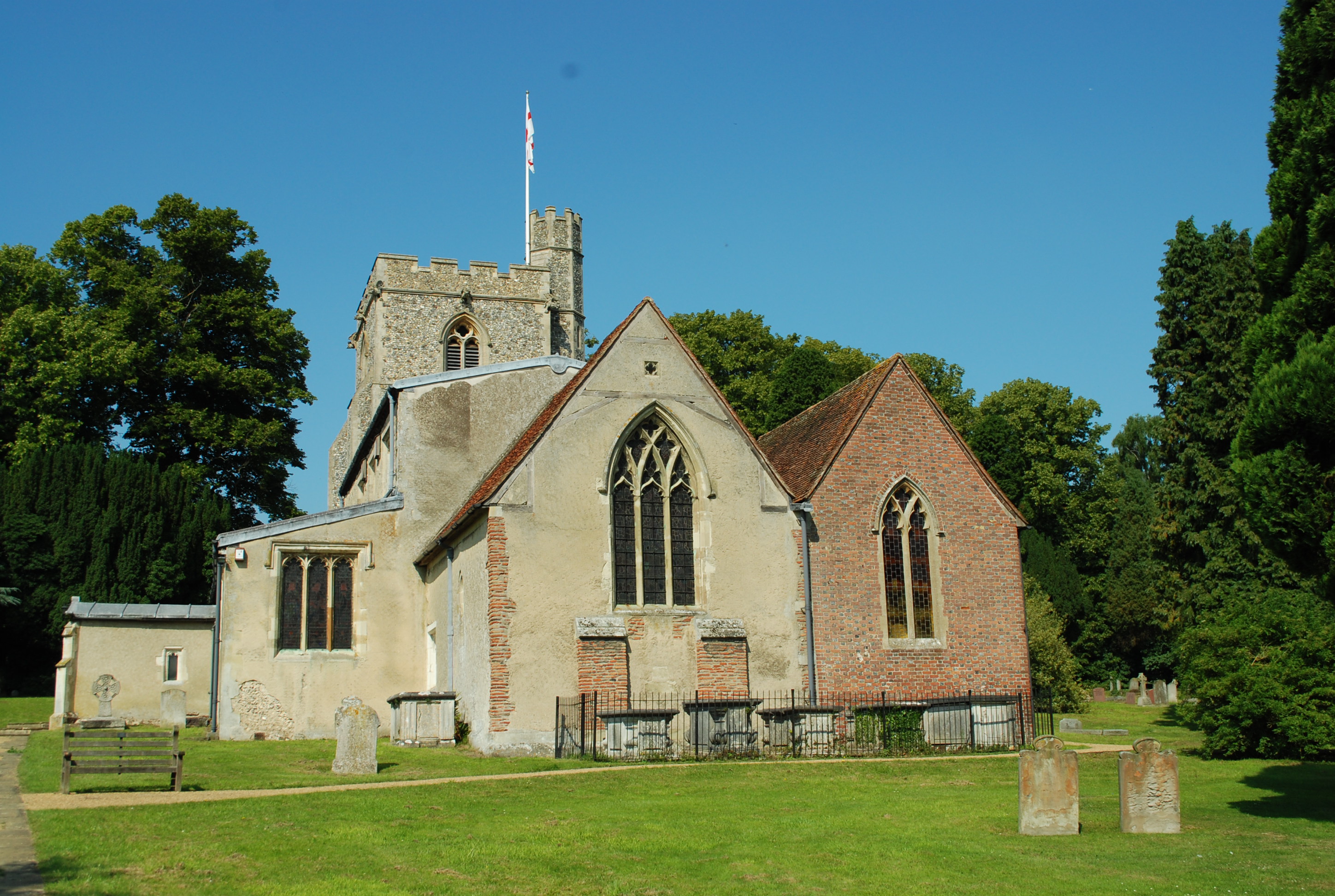
Dean Wood Images

Images are sourced within 2km of 51.815664/-0.49112518 or Grid Reference TL0414. Thanks to Geograph Open Source API. All images are credited.

Ledgemore Lane The narrow strip of woodland to the left is Hoo Belt.
Ledgemore Lane
The narrow strip of woodland to the left is Hoo Belt.
Ledgemore Lane Heading north.
Ledgemore Lane
Heading north.
Gaddesden Row at Ledgemore Lane junction
Beechwood Lane Towards Markyate or Flamstead.
Beechwood Lane
Towards Markyate or Flamstead.
Grazing sheep Fittingly a wood off to the left of this field is called Lamb's Spring.
Grazing sheep
Fittingly a wood off to the left of this field is called Lamb's Spring.
Clements End Road Towards Studham.
Clements End Road
Towards Studham.
SE corner of Studham Common Public footpaths follow both margins of the common, which has public access anyway.
SE corner of Studham Common
Public footpaths follow both margins of the common, which has public access anyway.
Footpath towards Studham Common The SE corner of the common is beyond the hedge ahead.
Footpath towards Studham Common
The SE corner of the common is beyond the hedge ahead.
Lodge House at Gates  to Beechwood Park School The approach road is almost 3/4 kilometre long.
Lodge House at Gates to Beechwood Park School
The approach road is almost 3/4 kilometre long.
Beechwood Park School signboard. Just to confirm that it exists.
Beechwood Park School signboard.
Just to confirm that it exists.
House at Cheverell's Green This one is sufficiently far from the transmission lines. Not sure about the pseudo half timber cladding.
House at Cheverell's Green
This one is sufficiently far from the transmission lines. Not sure about the pseudo half timber cladding.
Guides Hut Gaddesden Row This was one of the traditional tin churches before its change of use
Guides Hut Gaddesden Row
This was one of the traditional tin churches before its change of use
Montifiore School at Six Tunnels Farm Is it a school or a farm  quandary??
Montifiore School at Six Tunnels Farm
Is it a school or a farm quandary??
Water Tower at Gaddesden Row The tower is well cared for but the sign on the gate is covered with green algae. Just a wipe with a damp cloth is all it needs.
Water Tower at Gaddesden Row
The tower is well cared for but the sign on the gate is covered with green algae. Just a wipe with a damp cloth is all it needs.
Junior School at Gaddesden Row An ancient school still deemed OK for the small population.
Junior School at Gaddesden Row
An ancient school still deemed OK for the small population.
Road Sign in Puddephats Lane It is interesting to see that the local authority also append their name. Saves a lot of wondering.
Ah I see there is no apostrophe: gulp
Road Sign in Puddephats Lane
It is interesting to see that the local authority also append their name. Saves a lot of wondering. Ah I see there is no apostrophe: gulp
View from lane towards Gravelpit Wood over farmland This narrow (and muddy) track has the feel of an ancient lane.  The Woods in the distance are not named on the 1940's map but are on the modern OS version.
View from lane towards Gravelpit Wood over farmland
This narrow (and muddy) track has the feel of an ancient lane. The Woods in the distance are not named on the 1940's map but are on the modern OS version.
Jockey End: The Baptist Chapel According to the 1884 OS map this hamlet boasted two chapels, a Wesleyan Methodist one, and this one on Bradden Lane, built in 1845 as the Ebenezer Baptist Chapel, and described on the map as "High Calvinistic". The brick and flint houses are typical of the area.
Jockey End: The Baptist Chapel
According to the 1884 OS map this hamlet boasted two chapels, a Wesleyan Methodist one, and this one on Bradden Lane, built in 1845 as the Ebenezer Baptist Chapel, and described on the map as "High Calvinistic". The brick and flint houses are typical of the area.
Show me another place!

Dean Wood is located at Grid Ref: TL0414 (Lat: 51.815664, Lng: -0.49112518)

Administrative County: Hertfordshire

District: Dacorum

Police Authority: Hertfordshire

What 3 Words

///hologram.petal.precautions. Near Markyate, Hertfordshire

Related Wikis

Ballingdon Bottom

Ballingdon Bottom is a valley in Hertfordshire, England. It forms part of the boundary between the civil parishes of Flamstead and Great Gaddesden....

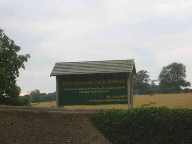
Beechwood Park (mansion)

Beechwood Park was a mansion, near Markyate, Hertfordshire, England. It now houses Beechwood Park School. == History == Ralph de Tony held this site, in...

The Hoo, Great Gaddesden

The Hoo is a Grade II* listed country house in Great Gaddesden, Hertfordshire, England. It dates from around 1683. In 1944 it was in use as a maternity...

Golden Parsonage

The Golden Parsonage is a Grade II* listed country house in Great Gaddesden, Hertfordshire, and is part of the Gaddesden Estate. The house remains in the...

Cheverells

Cheverells is a Grade II* listed dower house to the Beechwood Park estate in Hertfordshire, England. It dates from around 1693. == References ==

Studham

Studham is a village and civil parish in the county of Bedfordshire. It has a population of 1,182. The parish bounds to the south of the Buckinghamshire...

Gaddesden Place

Gaddesden Place, near Hemel Hempstead in Hertfordshire, England, was designed by architect James Wyatt and built between 1768 and 1773, and was the home...

Great Gaddesden

Great Gaddesden is a village and civil parish in Dacorum Hundred in Hertfordshire, England. It is located in the Chiltern Hills, north of Hemel Hempstead...

Nearby Amenities

Located within 500m of 51.815664,-0.49112518
Telephone
Defibrillator
Booth: KX300
Covered: booth
Defibrillator Location: inside old phone box on the green Gaddesden Row
Emergency: defibrillator
Man Made: telephone_box
Lat/Long: 51.8122747/-0.4928853
Post Box
Collection Times: Mo-Fr 17:00; Sa 09:00
Operator: Royal Mail
Post Box Type: lamp
Ref: HP2 140
Royal Cypher: EIIR
Royal Cypher Wikidata: Q33102113
Source: survey
Survey Date: 2015-08-16
Lat/Long: 51.812252/-0.4935677
Jockey End
Created By: Potlatch 0.8a
Place: hamlet
Source: Footpath Sign 3/4 mile to SE
Lat/Long: 51.8128495/-0.4925126
Barrier: stile
Lat/Long: 51.8129718/-0.4959384
Ballingdon Farm
Naptan AtcoCode: 210021405420
Naptan Bearing: SE
Naptan BusStopType: CUS
Naptan CommonName: Ballingdon Farm
Naptan Crossing: Dean Cottage
Naptan Indicator: opp
Naptan Landmark: Dean Cottage
Naptan NaptanCode: hrtdjgat
Naptan ShortCommonName: NA
Naptan Street: Clements End Road
Naptan Verified: no
Source: naptan_import
Lat/Long: 51.815446/-0.494677
Bus Stop
The Plough PH
Naptan AtcoCode: 210021405440
Naptan Bearing: SE
Naptan CommonName: The Plough PH
Naptan Crossing: opp Bradden Lane
Naptan Indicator: opp
Naptan Landmark: opp Bradden Lane
Naptan NaptanCode: hrtdjgaw
Naptan ShortCommonName: NA
Naptan Street: South Dene
Naptan Verified: no
Shelter: no
Source: naptan_import
Lat/Long: 51.8124476/-0.4925711
Bus Stop
The Plough PH
Local Ref: NR
Naptan AtcoCode: 210021407400
Naptan Bearing: N
Naptan CommonName: The Plough PH
Naptan Crossing: Bradden Lane
Naptan Indicator: nr
Naptan Landmark: Bradden Lane
Naptan NaptanCode: hrtdjawm
Naptan ShortCommonName: NA
Naptan Street: Clements End Road
Naptan Verified: no
Source: naptan_import
Lat/Long: 51.812751/-0.4930951
Ballingdon Farm
Local Ref: NR
Naptan AtcoCode: 210021407420
Naptan Bearing: NW
Naptan BusStopType: CUS
Naptan CommonName: Ballingdon Farm
Naptan Crossing: opp Dean Wood
Naptan Indicator: nr
Naptan Landmark: opp Dean Wood
Naptan NaptanCode: hrtdjawp
Naptan ShortCommonName: NA
Naptan Street: Clements End Road
Naptan Verified: no
Source: naptan_import
Lat/Long: 51.8151729/-0.4944104
Leisure: playground
Lat/Long: 51.8123914/-0.4906309
Ballingdon Bottom
Place: hamlet
Wikidata: Q4851747
Wikipedia: en:Ballingdon Bottom
Lat/Long: 51.8143325/-0.4960531
Power: pole
Lat/Long: 51.8113931/-0.4927744
Aeroway: helipad
Surface: concrete
Lat/Long: 51.8144153/-0.4973401
The data included in this document is from www.openstreetmap.org. The data is made available under ODbL.

Have you been to Dean Wood?

Leave your review of Dean Wood below (or comments, questions and feedback).