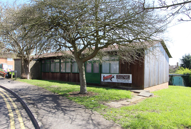
Thomas' Wood
Wood, Forest in Hertfordshire Dacorum
England
Thomas' Wood
Thomas' Wood is a picturesque forest located in the county of Hertfordshire, England. It covers an area of approximately 100 acres and is known for its natural beauty and diverse flora and fauna. The wood is named after Thomas, a local landowner who once owned the land where the forest now stands.
The wood is predominantly composed of broadleaf trees such as oak, beech, and ash, which create a dense canopy that provides shade and shelter for a variety of wildlife. The forest floor is covered with a rich carpet of ferns, bluebells, and wildflowers, creating a vibrant and colorful landscape during the spring and summer months.
A network of well-maintained footpaths and trails crisscrosses the wood, allowing visitors to explore its enchanting surroundings. The paths wind through ancient trees and lead to secluded clearings, providing a peaceful and tranquil environment for walkers, joggers, and nature enthusiasts.
Thomas' Wood is home to a diverse range of wildlife, including deer, foxes, badgers, and a wide variety of bird species. The forest also supports a rich insect population, with butterflies and dragonflies being particularly abundant during the warmer months.
The wood is managed by the local council, which ensures its preservation and conservation. Regular maintenance activities, such as selective tree felling and path maintenance, are carried out to maintain the health and safety of the forest while preserving its natural character.
Thomas' Wood is a popular destination for outdoor activities such as picnicking, birdwatching, and nature photography. Its idyllic setting and peaceful ambiance make it a perfect retreat for individuals seeking solace in nature.
If you have any feedback on the listing, please let us know in the comments section below.
Thomas' Wood Images
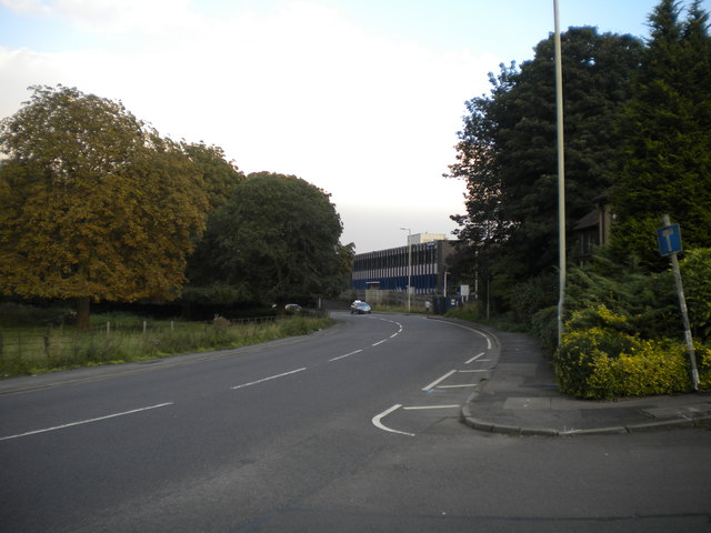
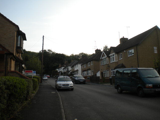
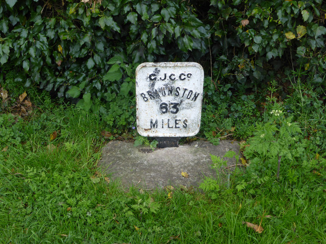
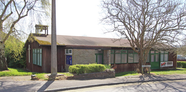
Images are sourced within 2km of 51.74032/-0.50157316 or Grid Reference TL0305. Thanks to Geograph Open Source API. All images are credited.


Thomas' Wood is located at Grid Ref: TL0305 (Lat: 51.74032, Lng: -0.50157316)
Administrative County: Hertfordshire
District: Dacorum
Police Authority: Hertfordshire
What 3 Words
///birds.buns.token. Near Bovingdon, Hertfordshire
Nearby Locations
Related Wikis
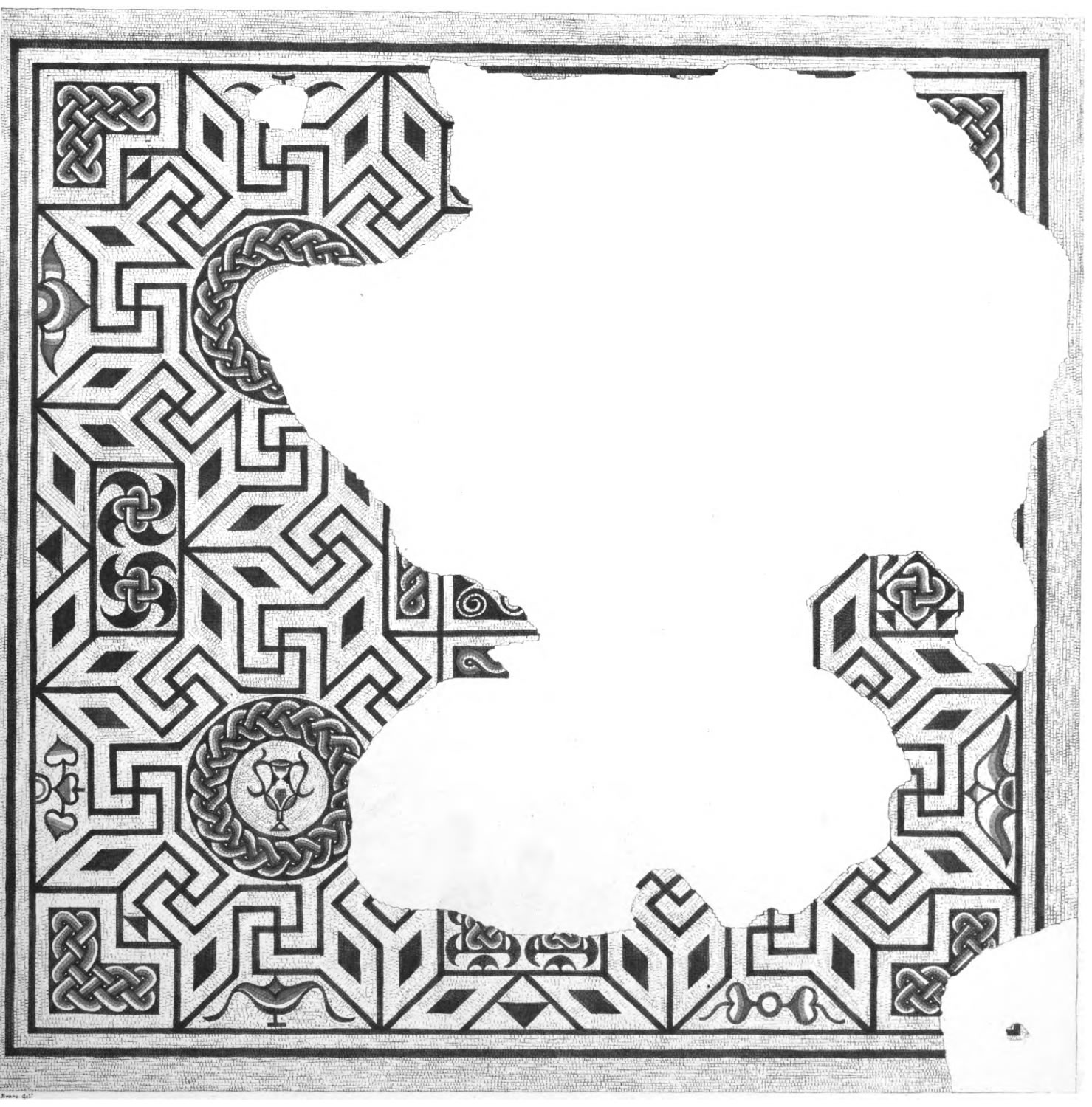
Boxmoor Roman Villa
Boxmoor Roman Villa is a ruined Roman Villa at Boxmoor, Hemel Hempstead, Hertfordshire. The remains have been excavated, but they are now buried. The Roman...

Box Moor Trust
The Box Moor Trust is a charitable trust responsible for the management of nearly 500 acres of land within the parishes of Hemel Hempstead and Bovingdon...
Westbrook Hay Hill Climb
The Westbrook Hay Hill Climb was an annual motorsports event near Hemel Hempstead in England, where drivers competed on an uphill course. The Herts County...
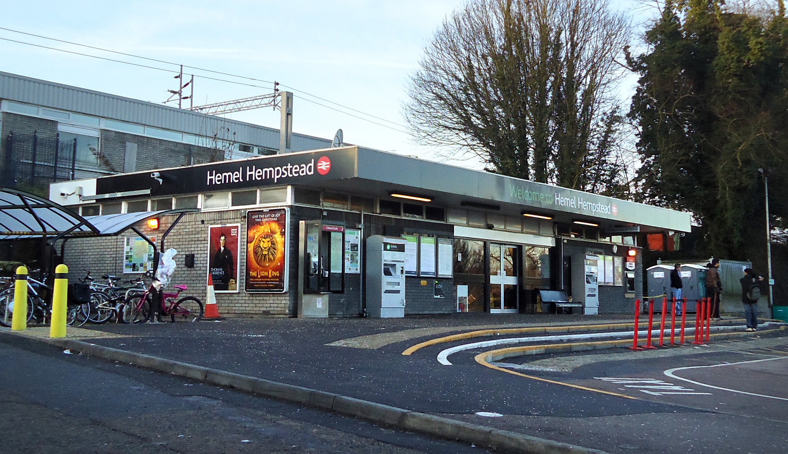
Hemel Hempstead railway station
Hemel Hempstead railway station is on the West Coast Main Line, on the western edge of the town of Hemel Hempstead, Hertfordshire, England. The station...
Nearby Amenities
Located within 500m of 51.74032,-0.50157316Have you been to Thomas' Wood?
Leave your review of Thomas' Wood below (or comments, questions and feedback).