Box Hill
Hill, Mountain in Hertfordshire Dacorum
England
Box Hill
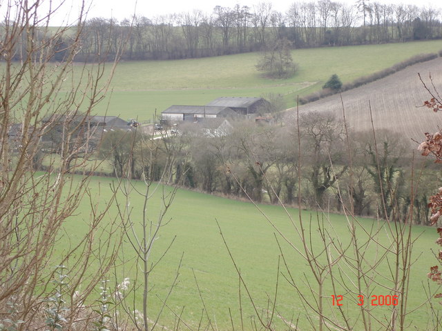
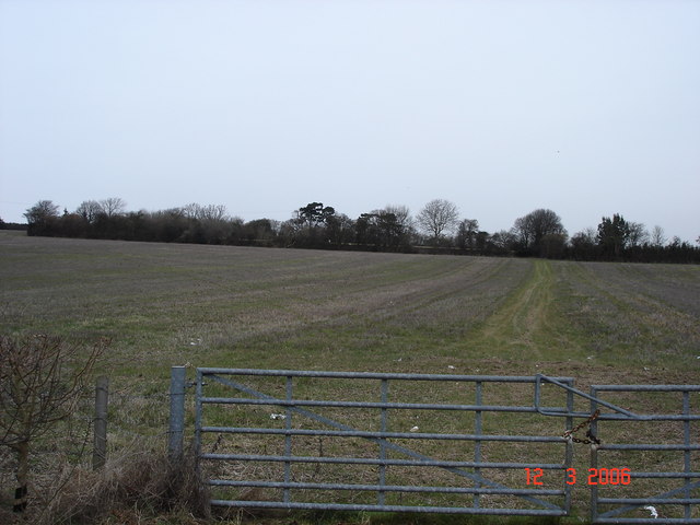
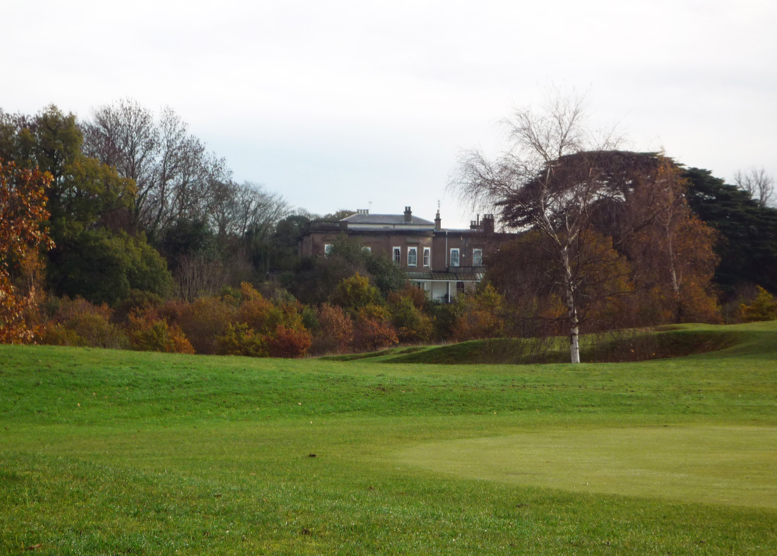
Box Hill is a prominent hill located in the county of Hertfordshire, England. It is situated in the North Downs, a range of hills that stretches across Surrey, Kent, and Sussex. Rising to an elevation of 224 meters (735 feet), Box Hill offers stunning panoramic views of the surrounding countryside, making it a popular destination for outdoor enthusiasts and nature lovers.
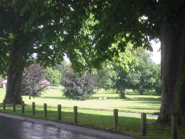
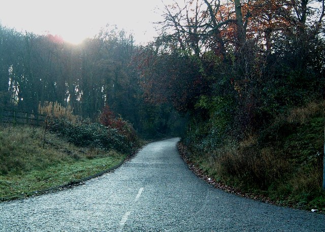
The hill is characterized by its steep slopes, covered in dense woodland, predominantly consisting of box trees, from which it gets its name. These trees provide a picturesque backdrop and create a tranquil environment for visitors to enjoy. The hill is also home to a rich variety of wildlife, including numerous species of birds, butterflies, and small mammals.
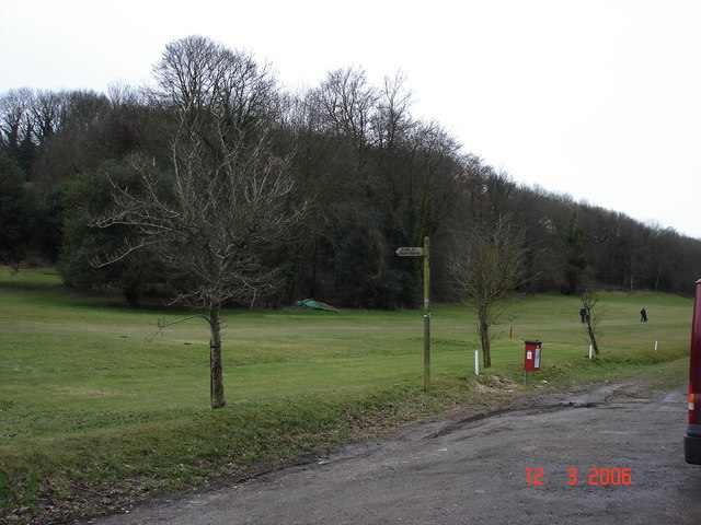
Box Hill is known for its extensive network of walking and cycling trails, making it a haven for outdoor activities. The trails offer a range of difficulty levels, catering to both leisurely strolls and more challenging hikes. One of the most popular routes is the Box Hill Stepping Stones Walk, which takes visitors across the River Mole via a series of rustic stepping stones.
In addition to its natural beauty, Box Hill is also of historical significance. The hill has been inhabited since prehistoric times, with evidence of Iron Age and Roman settlements found in the area. Moreover, during the Victorian era, Box Hill became a popular tourist attraction, drawing visitors from far and wide to enjoy its scenic vistas.
Today, Box Hill remains a cherished destination for locals and tourists alike, offering a perfect blend of natural beauty, recreational opportunities, and historical significance.
If you have any feedback on the listing, please let us know in the comments section below.
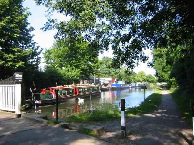
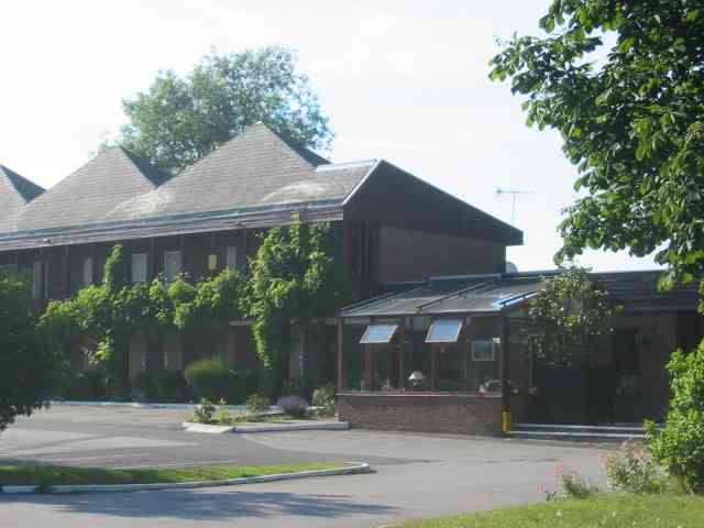
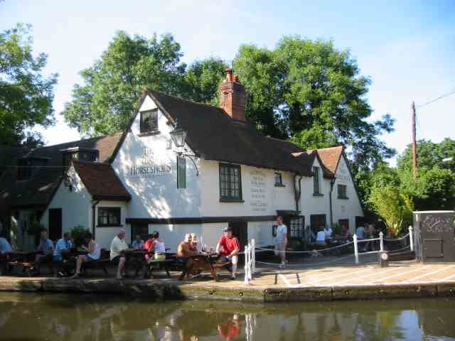
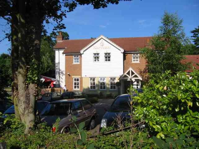
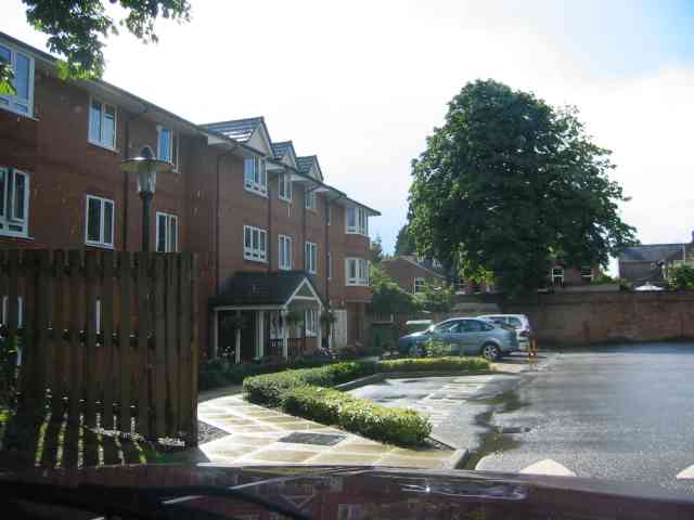
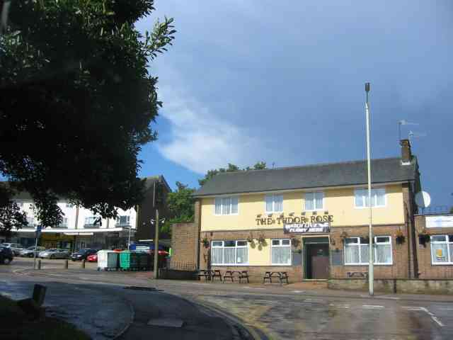
Box Hill Images
Images are sourced within 2km of 51.740017/-0.50530544 or Grid Reference TL0305. Thanks to Geograph Open Source API. All images are credited.


Box Hill is located at Grid Ref: TL0305 (Lat: 51.740017, Lng: -0.50530544)
Administrative County: Hertfordshire
District: Dacorum
Police Authority: Hertfordshire
What 3 Words
///swung.cups.decide. Near Bovingdon, Hertfordshire
Nearby Locations
Related Wikis

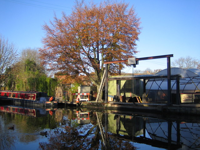
Box Moor Trust
The Box Moor Trust is a charitable trust responsible for the management of nearly 500 acres of land within the parishes of Hemel Hempstead and Bovingdon...
Westbrook Hay Hill Climb
The Westbrook Hay Hill Climb was an annual motorsports event near Hemel Hempstead in England, where drivers competed on an uphill course. The Herts County...
Boxmoor Roman Villa
Boxmoor Roman Villa is a ruined Roman Villa at Boxmoor, Hemel Hempstead, Hertfordshire. The remains have been excavated, but they are now buried. The Roman...
Westbrook Hay
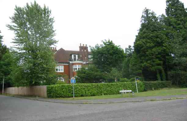
Westbrook Hay School is a culturally significant great house located in Hemel Hempstead, Hertfordshire, England, that has housed the independent Westbrook...
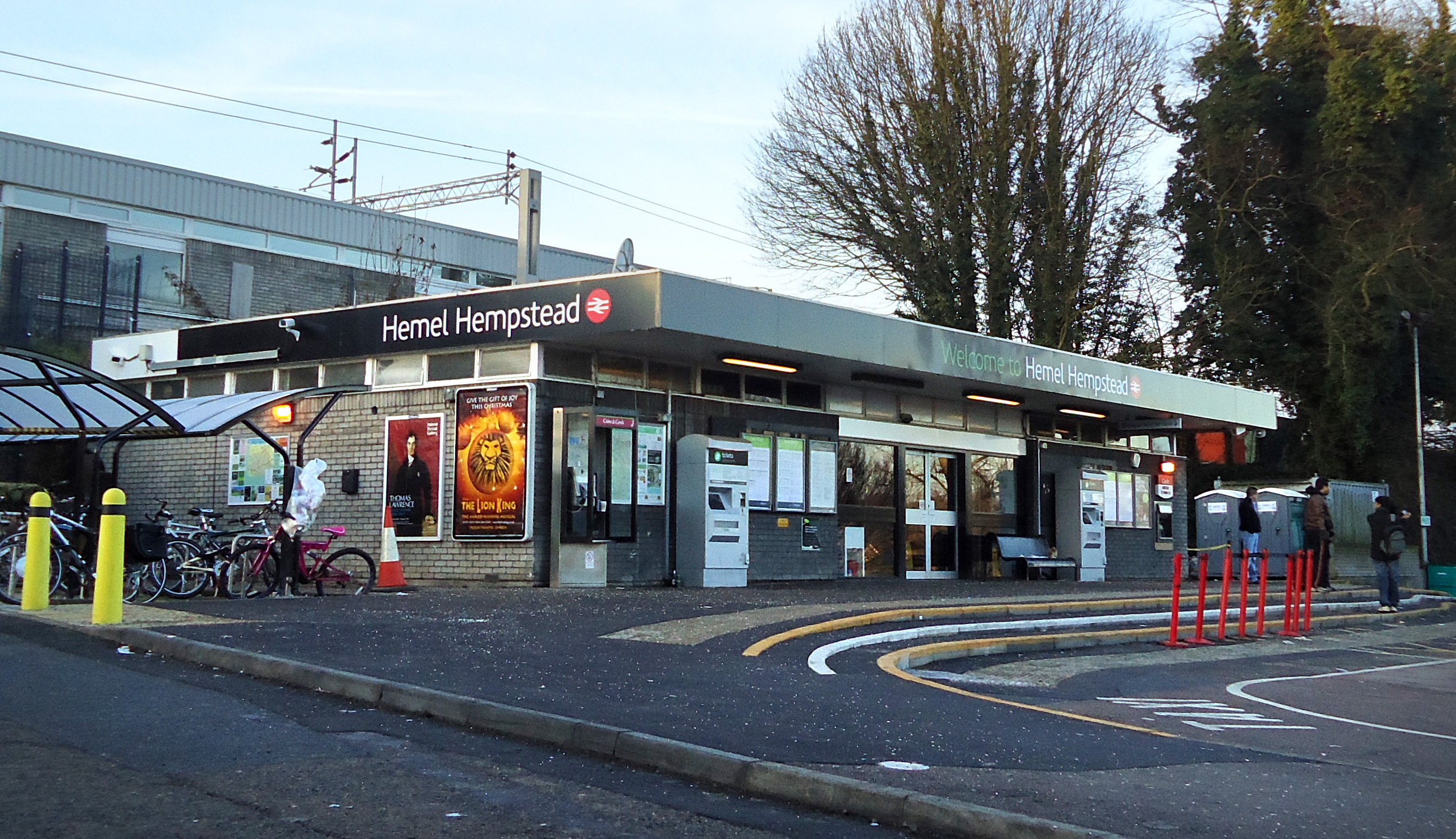
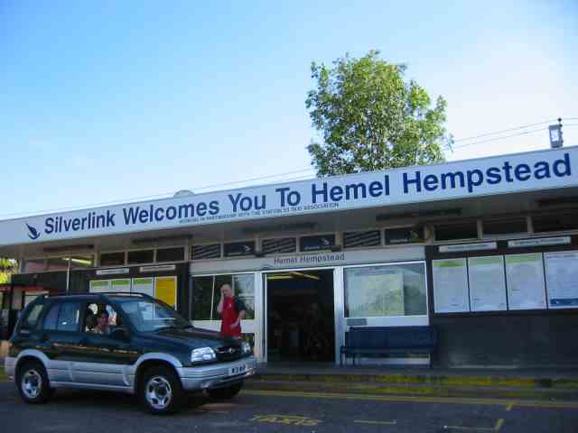
Hemel Hempstead railway station
Hemel Hempstead railway station is on the West Coast Main Line, on the western edge of the town of Hemel Hempstead, Hertfordshire, England. The station...
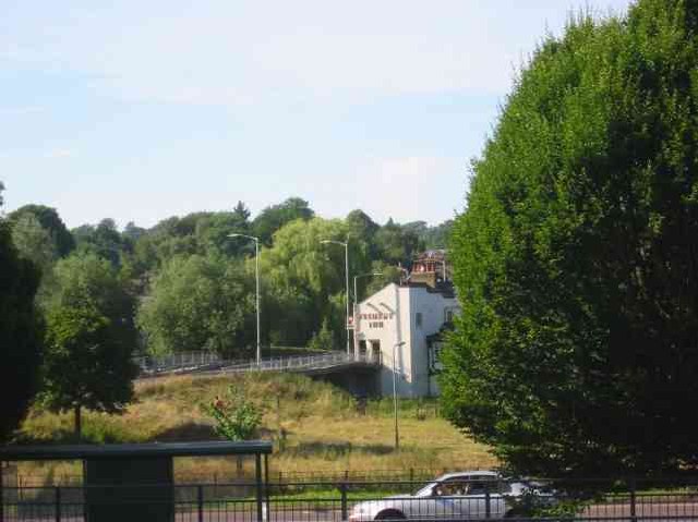
Bourne End, Hertfordshire
Bourne End is a village in Hertfordshire, England. It is situated on the ancient Roman Akeman Street between Berkhamsted and Hemel Hempstead, on the former...

Chaulden
Chaulden is a residential district in Hemel Hempstead, Hertfordshire, England located west of the town centre and bordering on open countryside. It was...
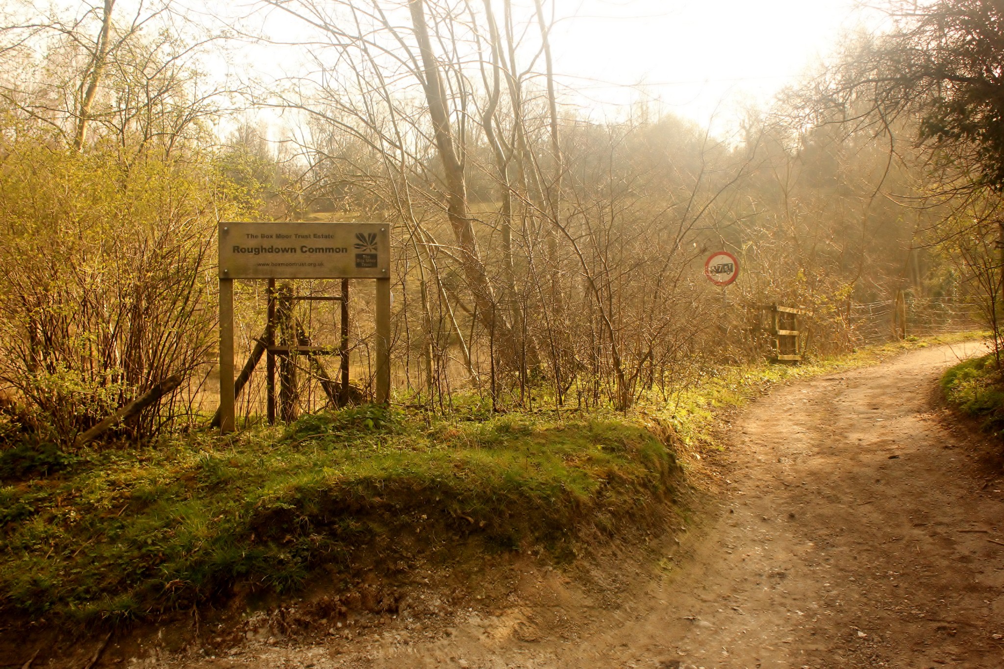
Roughdown Common
Roughdown Common is a 3.6-hectare (8.9-acre) biological Site of Special Scientific Interest in Hemel Hempstead in Hertfordshire. The planning authority...
Nearby Amenities
Located within 500m of 51.740017,-0.50530544Have you been to Box Hill?
Leave your review of Box Hill below (or comments, questions and feedback).