Beacon Belt
Wood, Forest in Lincolnshire North Kesteven
England
Beacon Belt
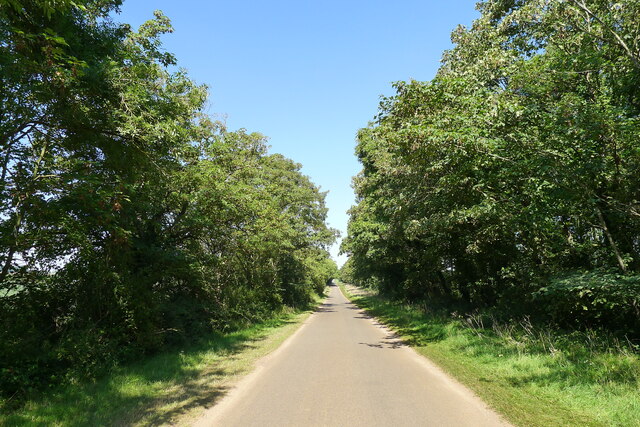
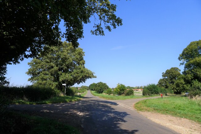
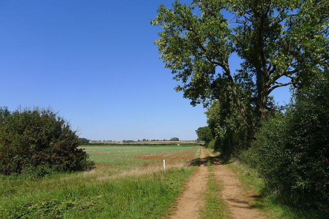
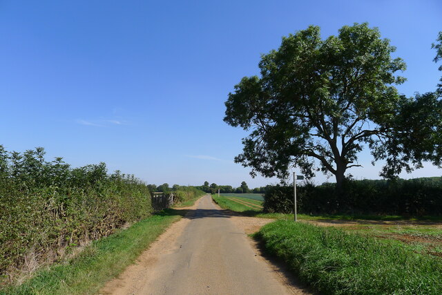
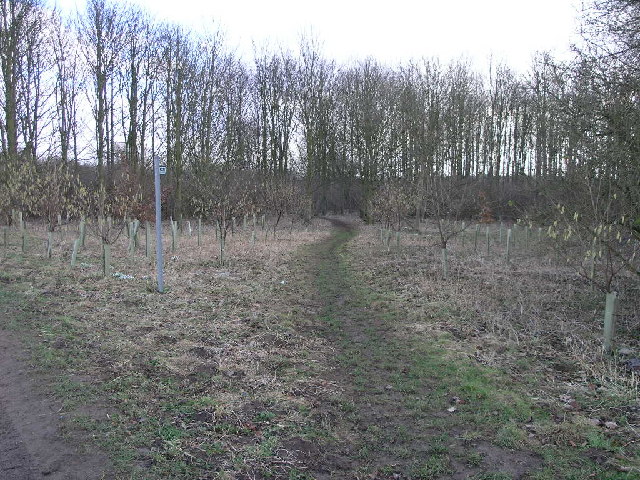
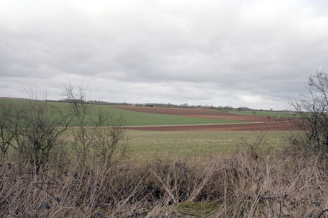
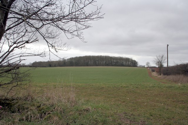
Beacon Belt is a charming woodland located in Lincolnshire, England. Situated near the market town of Woodhall Spa, this forested area covers a total area of approximately 200 acres. Known for its natural beauty, Beacon Belt is a popular destination for nature enthusiasts and outdoor activities.
The woodland is predominantly composed of broadleaf trees, creating a diverse and vibrant ecosystem. Visitors can expect to encounter a variety of tree species, including oak, beech, and ash. These trees provide a rich habitat for numerous animal species, such as squirrels, foxes, and various bird species. Nature lovers will delight in the opportunity to observe and appreciate the local wildlife in its natural environment.
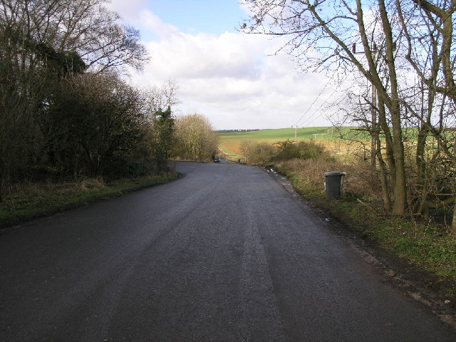
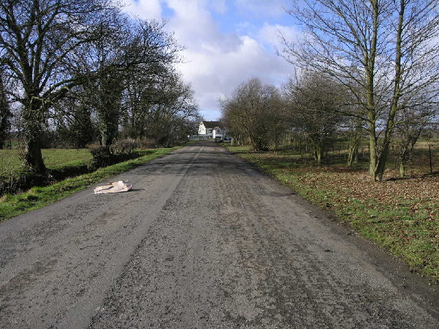
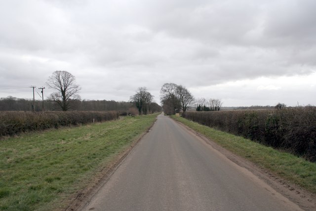
Beacon Belt is also home to several well-maintained walking trails, making it an ideal location for hikers and nature walkers. These trails offer visitors a chance to explore the forest and take in the serene surroundings. The pathways wind through the woodland, providing glimpses of picturesque scenery and peaceful spots for relaxation.
In addition to its natural beauty, Beacon Belt holds historical significance. During World War II, the forest served as an operational base for the Royal Air Force. Visitors can still find remnants of this period, such as old air raid shelters and other structures.
Overall, Beacon Belt in Lincolnshire offers a tranquil and picturesque setting for those seeking a connection with nature. Its diverse woodland, abundant wildlife, and historical significance make it a must-visit location for both locals and tourists alike.
If you have any feedback on the listing, please let us know in the comments section below.
Beacon Belt Images
Images are sourced within 2km of 53.00287/-0.47274185 or Grid Reference TF0246. Thanks to Geograph Open Source API. All images are credited.

Beacon Belt is located at Grid Ref: TF0246 (Lat: 53.00287, Lng: -0.47274185)
Administrative County: Lincolnshire
District: North Kesteven
Police Authority: Lincolnshire
What 3 Words
///protest.covenants.dramatic. Near Cranwell, Lincolnshire
Nearby Locations
Related Wikis

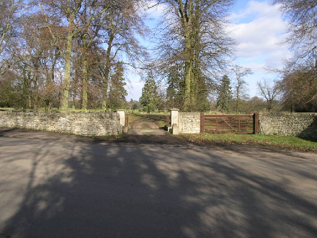
South Rauceby Hall
South Rauceby Hall, South Rauceby, Lincolnshire, England is a country house dating from the mid-19th century. It was designed by William Burn in 1842 for...

North Rauceby
North Rauceby is a village and civil parish in the North Kesteven district of Lincolnshire, England. It is situated 4 miles (6 km) north-west from Sleaford...

South Rauceby
South Rauceby is a village and civil parish in the North Kesteven district of Lincolnshire, England. It is situated 2.5 miles (4.0 km) west from Sleaford...

Rauceby railway station
Rauceby railway station is a station near the town of Sleaford, Lincolnshire, England, lying close to the western border of the Parish of Old Sleaford...

Rauceby Hospital
Rauceby Hospital, originally called Kesteven County Asylum, is a now-defunct mental institution in the parish of Quarrington, Lincolnshire, England. Originally...

No. 16 Squadron RAF
Number 16 Squadron Royal Air Force, nicknamed 'the Saints', is a flying squadron of the Royal Air Force (RAF) who currently provide elementary flying training...

RAF Cranwell
Royal Air Force Cranwell or more simply RAF Cranwell (ICAO: EGYD) is a Royal Air Force station in Lincolnshire, England, close to the village of Cranwell...

Wilsford, Lincolnshire
Wilsford is a village and civil parish in the North Kesteven district of Lincolnshire, England. The population of the civil parish was 400 at the 2011...
Nearby Amenities
Located within 500m of 53.00287,-0.47274185Have you been to Beacon Belt?
Leave your review of Beacon Belt below (or comments, questions and feedback).