Juniper Wood
Wood, Forest in Buckinghamshire
England
Juniper Wood

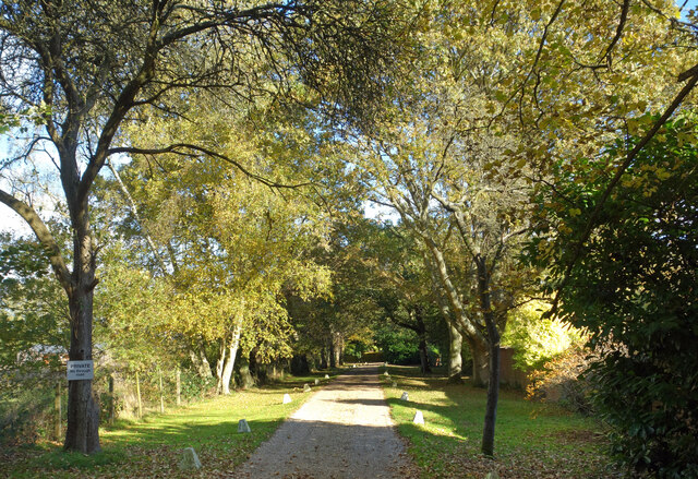
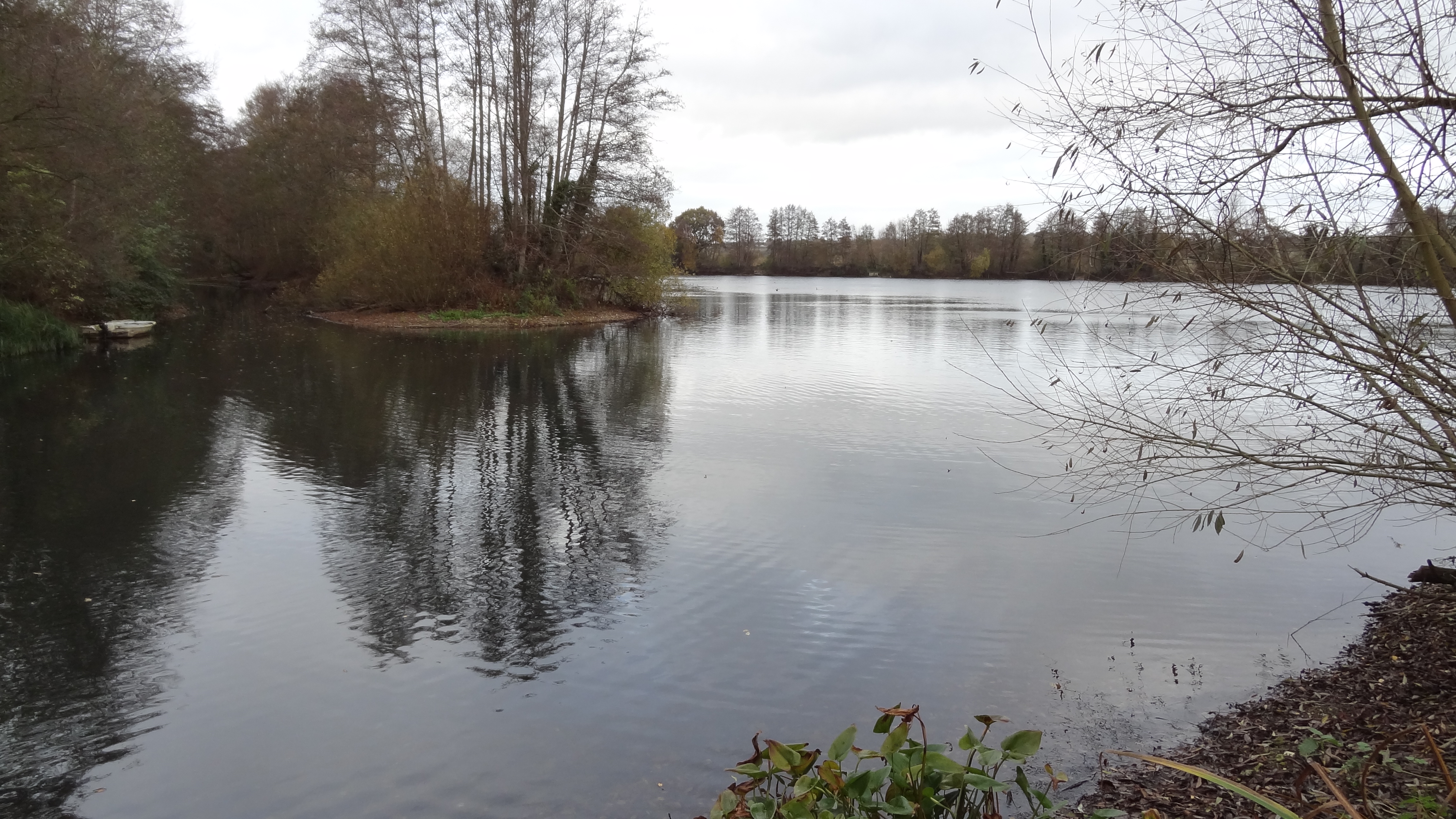
Juniper Wood is a picturesque forest located in Buckinghamshire, England. Spanning over a vast area, this woodland is known for its dense population of juniper trees, hence the name. The forest attracts nature enthusiasts and hikers due to its tranquil ambiance and diverse wildlife.
The wood is characterized by its thick canopy, providing ample shade and shelter for various flora and fauna. The juniper trees, with their unique foliage and aromatic berries, dominate the landscape. These evergreen conifers lend a distinct charm to the woodland, especially during the winter months when their green hue contrasts against the white snow.
Walking through Juniper Wood, visitors are greeted by a symphony of sounds from the numerous bird species that call this forest their home. From the melodious songs of thrushes to the distinctive calls of woodpeckers, the avian population is a treat for birdwatchers. Additionally, the wood provides a habitat for other wildlife, including foxes, deer, and squirrels, making it an ideal spot for wildlife enthusiasts.
The wood is crisscrossed by a network of well-maintained trails, allowing visitors to explore the forest at their own pace. The paths wind through the trees, offering glimpses of wildflowers and moss-covered rocks along the way. A visit to Juniper Wood offers a chance to reconnect with nature and enjoy the tranquility this woodland provides.
Overall, Juniper Wood in Buckinghamshire is a haven for nature lovers, offering a scenic escape from the hustle and bustle of daily life. With its stunning landscape, diverse wildlife, and peaceful atmosphere, it is a true gem for those seeking a connection with the natural world.
If you have any feedback on the listing, please let us know in the comments section below.
Juniper Wood Images
Images are sourced within 2km of 51.59704/-0.52041336 or Grid Reference TQ0289. Thanks to Geograph Open Source API. All images are credited.


Juniper Wood is located at Grid Ref: TQ0289 (Lat: 51.59704, Lng: -0.52041336)
Unitary Authority: Buckinghamshire
Police Authority: Thames Valley
What 3 Words
///atomic.police.ships. Near Harefield, London
Nearby Locations
Related Wikis

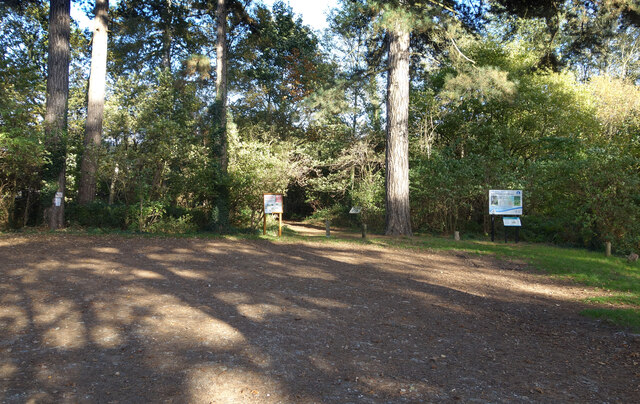
Northmoor Hill Wood
Northmoor Hill Wood is an 8.7 hectares (21 acres) Local Nature Reserve in Denham in Buckinghamshire. It is also of geological interest.The western area...
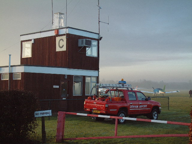
Denham Aerodrome
Denham Aerodrome (ICAO: EGLD) is an operational general aviation aerodrome located 1.5 NM (2.8 km; 1.7 mi) east of Gerrards Cross, near Denham, Buckinghamshire...

West Hyde
West Hyde is a village situated alongside the A412 road, in the Three Rivers District in south-west Hertfordshire, England. At the 2011 the population...
Chiltern tunnel
The Chiltern Tunnel is a high-speed railway tunnel currently under construction in Buckinghamshire and Hertfordshire, England, and will upon completion...
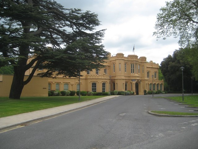
Chalfont Park
Chalfont Park, formerly known as Brudenells and Bulstrodes, is an English country house and estate near the village of Chalfont St Peter in Buckinghamshire...

Denham Golf Club railway station
Denham Golf Club railway station is a railway station near the villages of Baker's Wood and Denham, Buckinghamshire, England. The station is on the Chiltern...
Mid Colne Valley
Mid Colne Valley is a 132 hectare biological Site of Special Scientific Interest in Harefield in the London Borough of Hillingdon and Denham in South Buckinghamshire...

Chalfont Viaduct
The Chalfont Viaduct (also known as the Misbourne Viaduct) is the first of two five-arch brick railway viaducts on the Chiltern Main Line in south-east...
Have you been to Juniper Wood?
Leave your review of Juniper Wood below (or comments, questions and feedback).