North Rauceby

Settlement in Lincolnshire North Kesteven

England

North Rauceby

Thorpe Drove climbing the flank of Cliff Hill At the eastern end of the Ancaster Gap
Thorpe Drove climbing the flank of Cliff Hill Credit: Tim Heaton

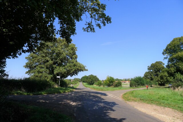
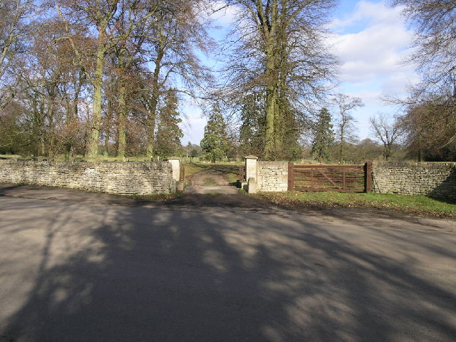
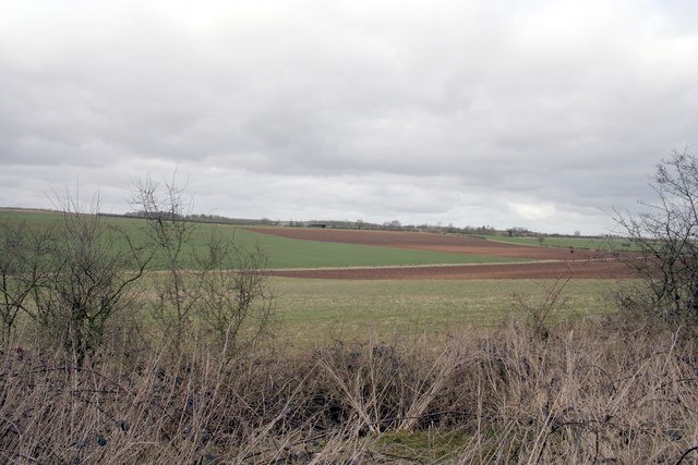
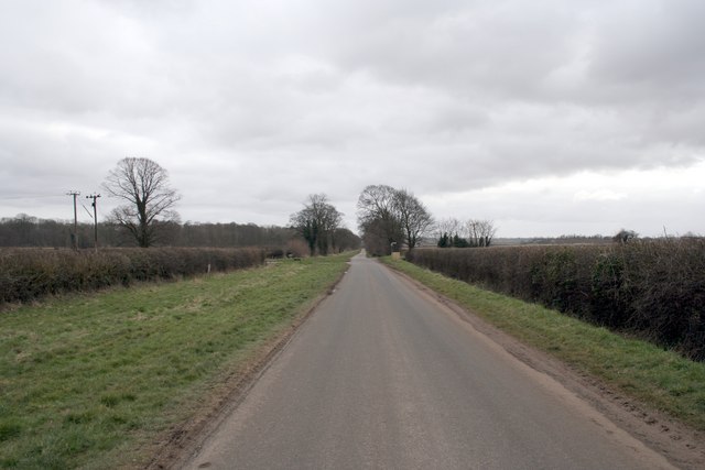
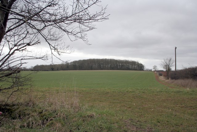
North Rauceby is a small village located in the county of Lincolnshire, England. Situated approximately 12 miles south of the historic city of Lincoln, it falls within the North Kesteven district. The village is nestled in a rural setting, surrounded by picturesque farmland and countryside.

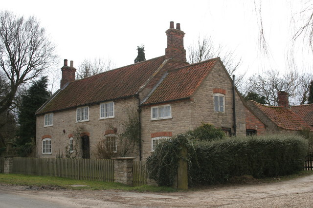
With a population of around 400 residents, North Rauceby offers a peaceful and close-knit community atmosphere. The village is characterized by its charming traditional English cottages and well-maintained gardens, giving it a quintessential village feel.

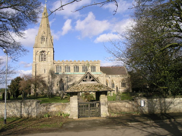
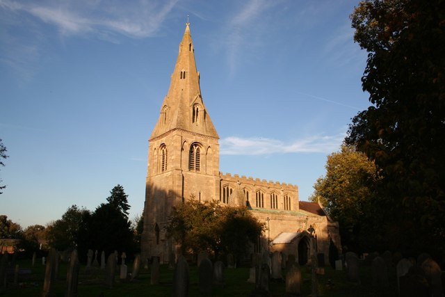
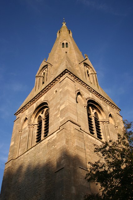
The focal point of North Rauceby is the St. Peter's Church, a beautiful medieval structure that dates back to the 12th century. The church is renowned for its impressive stained glass windows and intricate architectural details, attracting visitors from near and far.

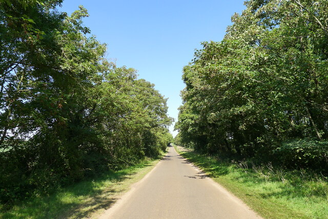
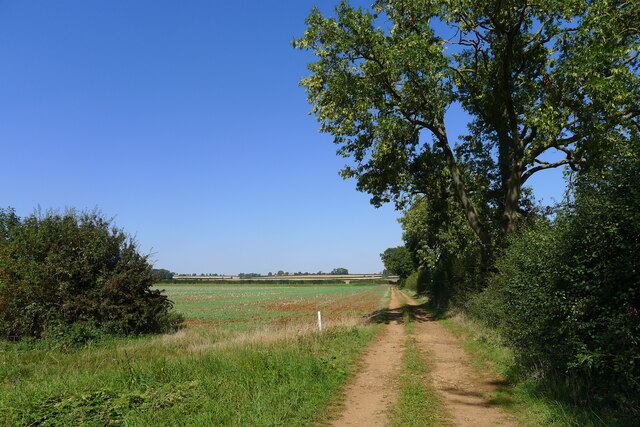
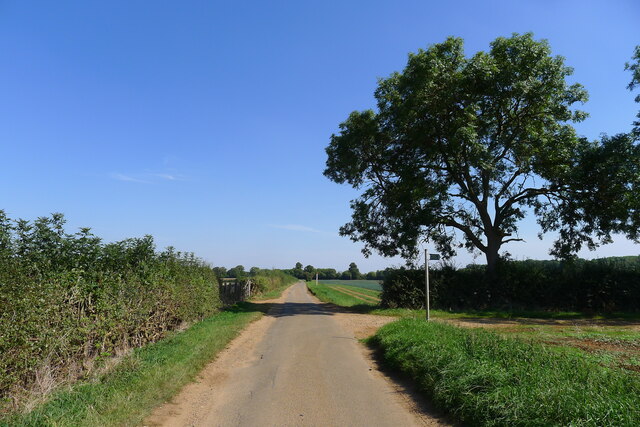
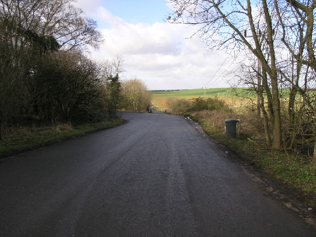
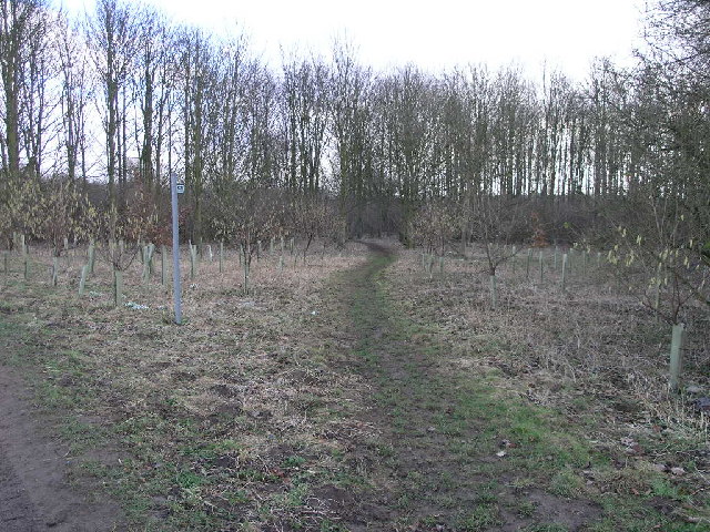
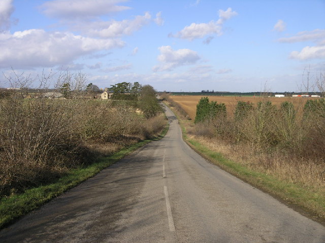
For those seeking outdoor pursuits, the village is blessed with an abundance of scenic walking trails and cycling routes, allowing residents and visitors to explore the stunning Lincolnshire countryside. The nearby Sleaford Navigation Canal is a popular spot for boating enthusiasts, offering opportunities for leisurely boat trips and fishing.

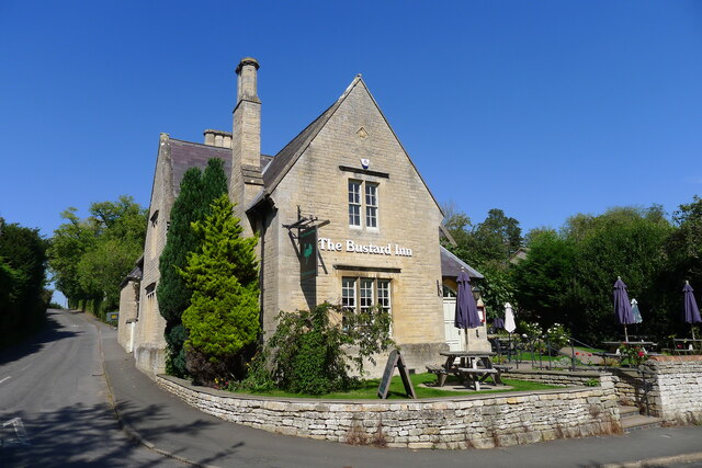
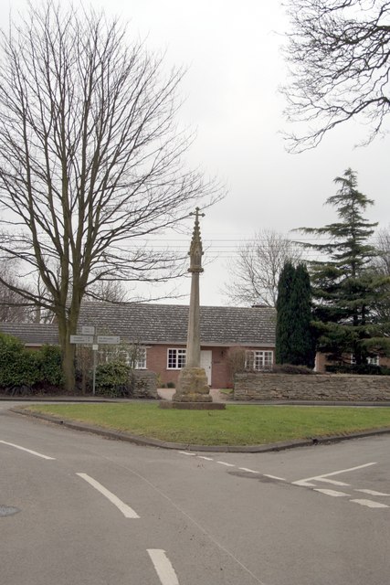
Despite its small size, North Rauceby benefits from a few local amenities, including a village hall and a pub where locals can gather and socialize. However, for a wider range of amenities and services, residents can easily access the nearby towns of Sleaford and Lincoln, which offer a broader selection of shops, restaurants, and leisure facilities.

In summary, North Rauceby is a quaint and idyllic village in Lincolnshire, boasting a rich history, natural beauty, and a strong sense of community. It is a peaceful retreat for those who appreciate the rural charm of the English countryside.

If you have any feedback on the listing, please let us know in the comments section below.

North Rauceby Images

Images are sourced within 2km of 53.00522/-0.47818 or Grid Reference TF0246. Thanks to Geograph Open Source API. All images are credited.

Thorpe Drove climbing the flank of Cliff Hill At the eastern end of the Ancaster Gap
Thorpe Drove climbing the flank of Cliff Hill
At the eastern end of the Ancaster Gap
Thorpe Drove leading to South Rauceby Waterwell lane to the left, and Cliffe View to the right.
Thorpe Drove leading to South Rauceby
Waterwell lane to the left, and Cliffe View to the right.
The Bustard Inn, South Rauceby Listed Grade II, from 1860 <span class="nowrap"><a title="https://thebustardinn.co.uk/" rel="nofollow ugc noopener" href="https://thebustardinn.co.uk/">Link</a><img style="margin-left:2px;" alt="External link" title="External link - shift click to open in new window" src="https://s1.geograph.org.uk/img/external.png" width="10" height="10"/></span>. But the last bustard in Britain died in the 1830s, so when did the inn get its name?
The Bustard Inn, South Rauceby
Listed Grade II, from 1860 LinkExternal link. But the last bustard in Britain died in the 1830s, so when did the inn get its name?
70 Main Street, South Rauceby Listed Grade II, a former early 19th century tower mill <span class="nowrap"><a title="https://historicengland.org.uk/listing/the-list/list-entry/1061775?section=official-list-entry" rel="nofollow ugc noopener" href="https://historicengland.org.uk/listing/the-list/list-entry/1061775?section=official-list-entry">Link</a><img style="margin-left:2px;" alt="External link" title="External link - shift click to open in new window" src="https://s1.geograph.org.uk/img/external.png" width="10" height="10"/></span>
70 Main Street, South Rauceby
Listed Grade II, a former early 19th century tower mill LinkExternal link
Track running towards Waterwell Lane
Waterwell Lane heading east towards South Rauceby The footpath runs south-west to Wilford
Waterwell Lane heading east towards South Rauceby
The footpath runs south-west to Wilford
Old A17 This piece of road is now a lay-by but was once the A17 just west of Sleaford looking towards Cranwell Airfield.  The A17 now follows a straighter line and is just behind the hedge on the left.
Old A17
This piece of road is now a lay-by but was once the A17 just west of Sleaford looking towards Cranwell Airfield. The A17 now follows a straighter line and is just behind the hedge on the left.
Footpath To Quarrington This footpath leads from South Rauceby through a small copse and over the fields to Quarrington.
Footpath To Quarrington
This footpath leads from South Rauceby through a small copse and over the fields to Quarrington.
Cattle Grid Access This access gate to Rauceby Hall is protected by a cattle grid.
Cattle Grid Access
This access gate to Rauceby Hall is protected by a cattle grid.
St Peter's Church St Peter's Church in North Rauceby has an interesting lyche gate with a carved inscription which suggests it was built in memory of a former parishioner.
St Peter's Church
St Peter's Church in North Rauceby has an interesting lyche gate with a carved inscription which suggests it was built in memory of a former parishioner.
A17 Horizon The A17 runs along the horizon with Cranwell just beyond.
A17 Horizon
The A17 runs along the horizon with Cranwell just beyond.
Fields near RAF Cranwell
Farmhouse at North Rauceby
The village cross at North Rauceby
Thorpe Drove, South Rauceby
Stack Hill woods
Stack Hill woods
St.Peter's church, North Rauceby
St.Peter's tower & spire
Show me another place!

North Rauceby is located at Grid Ref: TF0246 (Lat: 53.00522, Lng: -0.47818)

Division: Parts of Kesteven

Administrative County: Lincolnshire

District: North Kesteven

Police Authority: Lincolnshire

What 3 Words

///snacking.nags.decanter. Near Cranwell, Lincolnshire

Related Wikis

North Rauceby

North Rauceby is a village and civil parish in the North Kesteven district of Lincolnshire, England. It is situated 4 miles (6 km) north-west from Sleaford...

South Rauceby Hall

South Rauceby Hall, South Rauceby, Lincolnshire, England is a country house dating from the mid-19th century. It was designed by William Burn in 1842 for...

South Rauceby

South Rauceby is a village and civil parish in the North Kesteven district of Lincolnshire, England. It is situated 2.5 miles (4.0 km) west from Sleaford...

No. 16 Squadron RAF

Number 16 Squadron Royal Air Force, nicknamed 'the Saints', is a flying squadron of the Royal Air Force (RAF) who currently provide elementary flying training...

Nearby Amenities

Located within 500m of 53.00522,-0.47818
North Rauceby
Is In: Lincolnshire, England, UK
Place: village
Source: NPE
Lat/Long: 53.0061546/-0.4785236
Bus Stop
Primary School
Naptan AtcoCode: 270002700080
Naptan Bearing: SE
Naptan CommonName: Primary School
Naptan Indicator: opp
Naptan Landmark: Primary School
Naptan NaptanCode: linjtamt
Naptan Street: Tom Lane
Naptan Verified: no
Source: naptan_import
Lat/Long: 53.0028208/-0.4755731
St Peters Close
Naptan AtcoCode: 270002701075
Naptan Bearing: SE
Naptan BusStopType: CUS
Naptan CommonName: St Peters Close
Naptan Indicator: adj
Naptan Landmark: St Peter Close
Naptan Street: Main Street
Naptan Verified: no
Source: naptan_import
Lat/Long: 53.0057847/-0.4781514
St Peters Close
Naptan AtcoCode: 270002701076
Naptan Bearing: NW
Naptan BusStopType: CUS
Naptan CommonName: St Peters Close
Naptan Indicator: opp
Naptan Landmark: St Peter Close
Naptan Street: Main Street
Naptan Verified: no
Source: naptan_import
Lat/Long: 53.0057778/-0.4783156
Bus Stop
Primary School
Naptan AtcoCode: 2700LNRP2425
Naptan Bearing: NW
Naptan CommonName: Primary School
Naptan Indicator: adj
Naptan Landmark: Primary School
Naptan NaptanCode: linatada
Naptan Street: Tom Lane
Naptan Verified: no
Source: naptan_import
Lat/Long: 53.0027591/-0.4756647
Historic Amenity: place_of_worship
Religion: christian
Lat/Long: 53.0073546/-0.4794044
The data included in this document is from www.openstreetmap.org. The data is made available under ODbL.

Have you been to North Rauceby?

Leave your review of North Rauceby below (or comments, questions and feedback).