Roseheath Wood
Wood, Forest in Hertfordshire Dacorum
England
Roseheath Wood
Roseheath Wood is a picturesque forest located in Hertfordshire, England. Covering an area of approximately 100 acres, this enchanting woodland is known for its rich biodiversity and serene atmosphere. It is situated near the village of Roseheath, offering visitors a peaceful retreat away from the bustling city life.
The wood is home to a diverse range of flora and fauna, with ancient oak and beech trees dominating the landscape. These majestic trees provide a dense canopy, creating a shady and cool environment even during the hot summer months. Walking through the forest, one can witness a vibrant mix of wildflowers, including bluebells, primroses, and foxgloves, which add bursts of color to the greenery.
Numerous walking trails wind through Roseheath Wood, allowing visitors to explore its hidden corners and discover its natural wonders. The forest is a haven for wildlife, with a variety of birds, such as woodpeckers and owls, making it their habitat. Squirrels and rabbits can also be spotted darting among the trees, adding to the woodland's charm.
Roseheath Wood holds great importance for conservation and is managed by local authorities to preserve its natural beauty. The forest is open to the public, inviting nature enthusiasts and families for leisurely strolls, picnics, or photography sessions. The peaceful ambiance and tranquility of Roseheath Wood make it a treasured gem in Hertfordshire, attracting visitors from near and far who seek solace in its serene surroundings.
If you have any feedback on the listing, please let us know in the comments section below.
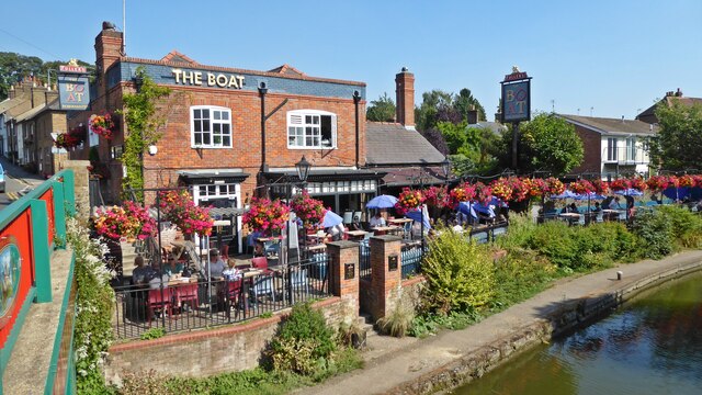
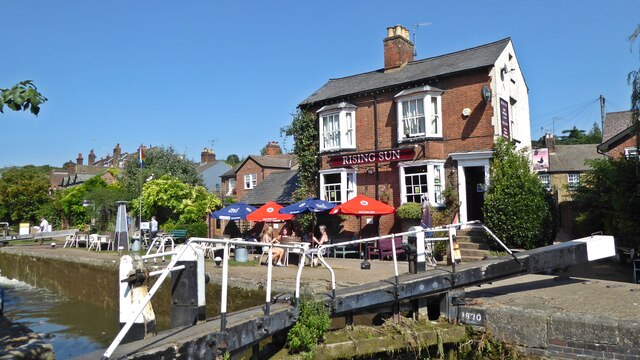
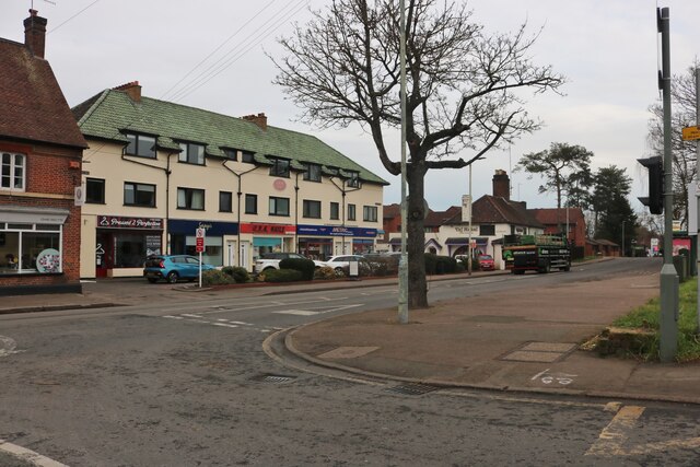
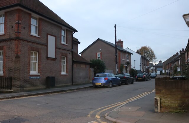
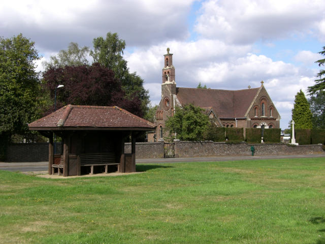
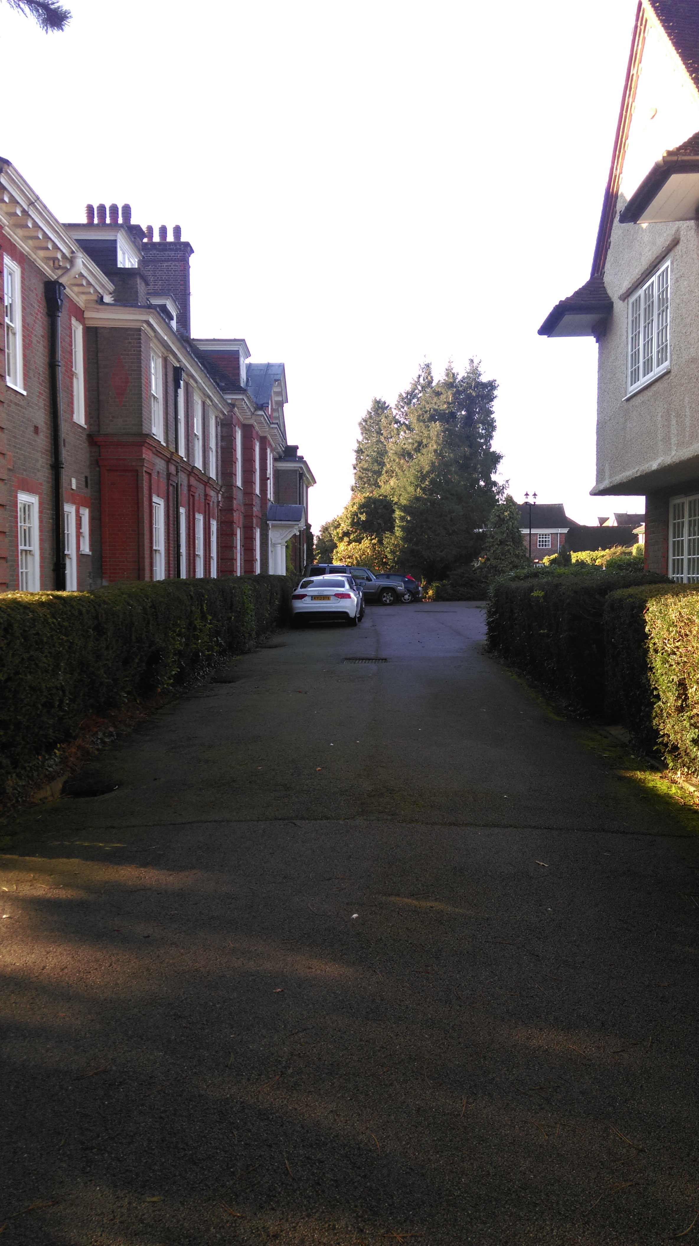
Roseheath Wood Images
Images are sourced within 2km of 51.761944/-0.53060644 or Grid Reference TL0108. Thanks to Geograph Open Source API. All images are credited.


Roseheath Wood is located at Grid Ref: TL0108 (Lat: 51.761944, Lng: -0.53060644)
Administrative County: Hertfordshire
District: Dacorum
Police Authority: Hertfordshire
What 3 Words
///clap.sadly.often. Near Berkhamsted, Hertfordshire
Nearby Locations
Related Wikis
Little Heath, near Hemel Hempstead, Hertfordshire
Little Heath is a partly wooded area with scattered housing, just south of the village of Potten End, Hertfordshire, England. It represents the top of...
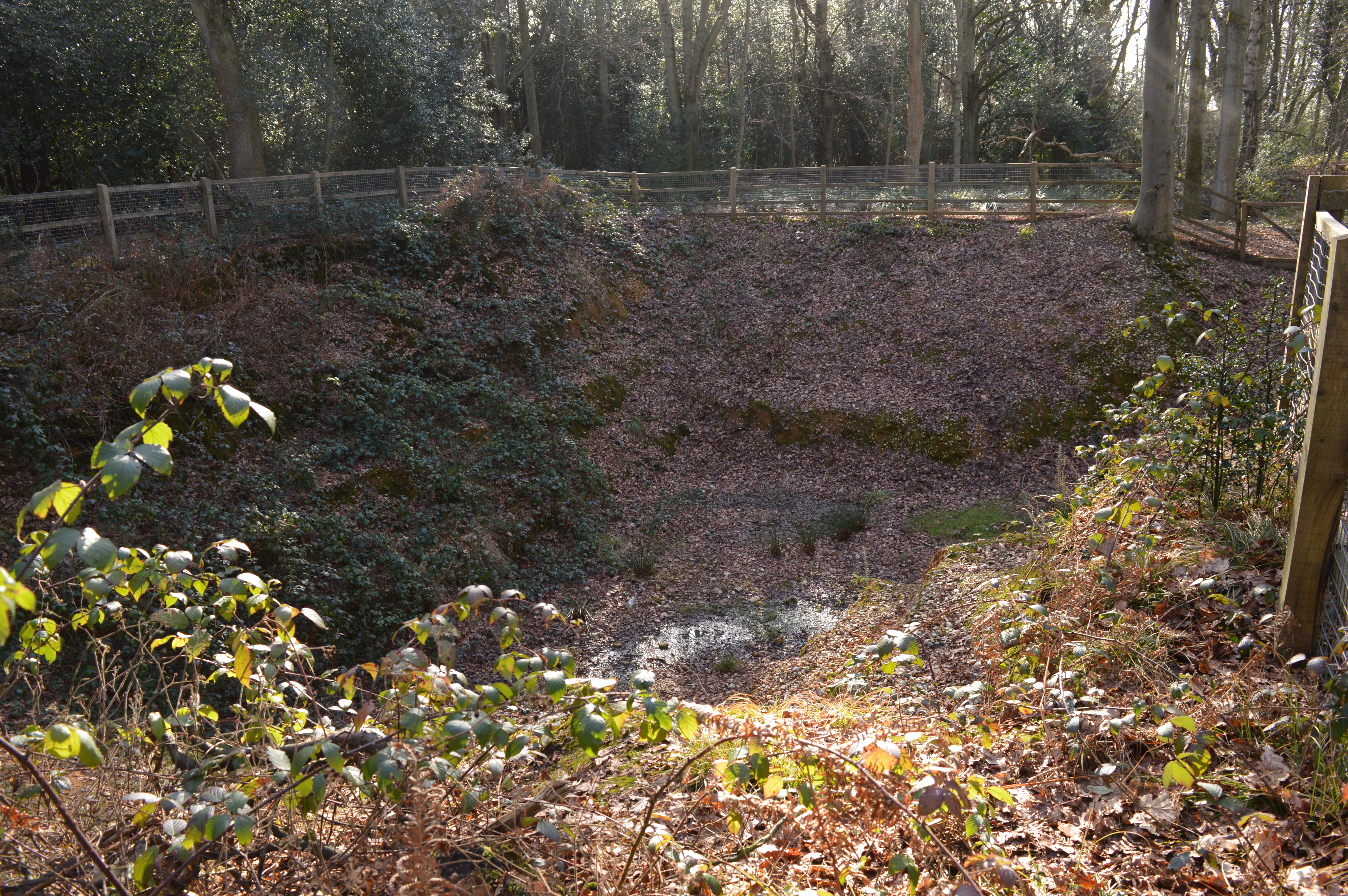
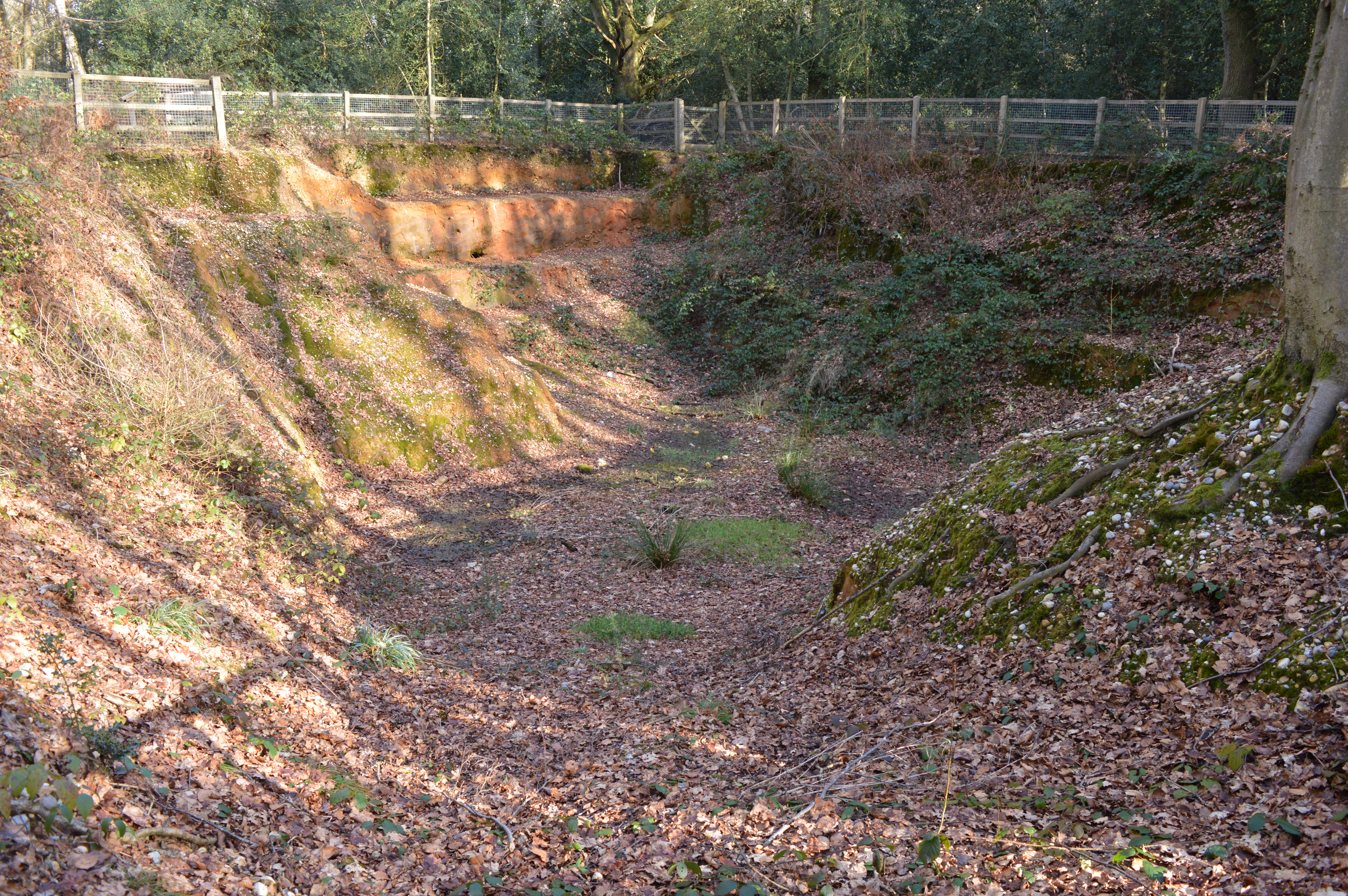
Little Heath Pit
Little Heath Pit is a 0.3-hectare (0.74-acre) geological Site of Special Scientific Interest at Little Heath near Potten End in Hertfordshire. It is part...
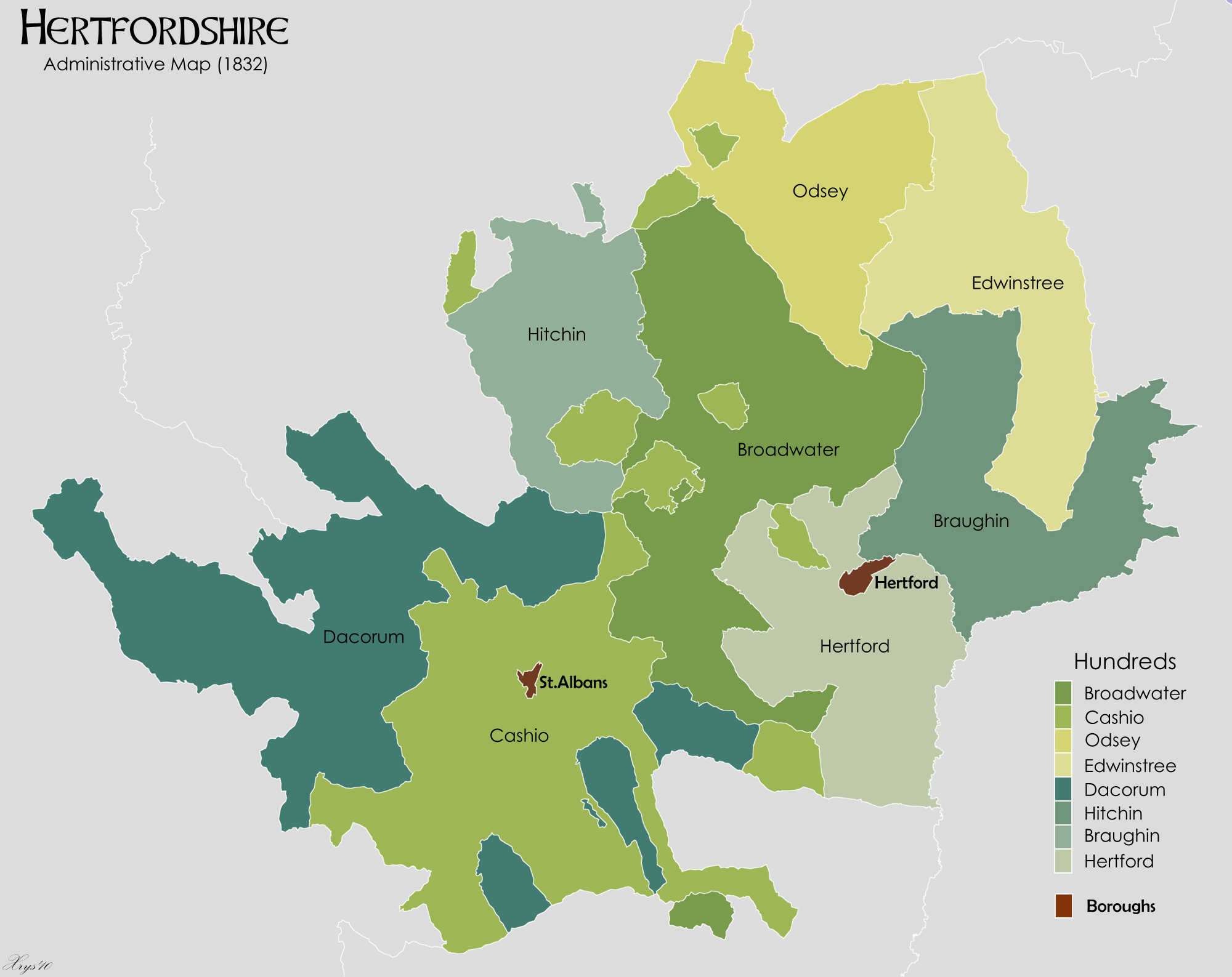
Danais (hundred)
Danais (Latinised as Dacorum) Hundred was a judicial and taxation subdivision (a hundred) of Hertfordshire, in the west of the county, that existed from...

Dacorum
Dacorum is a local government district with borough status in Hertfordshire, England. The council is based in Hemel Hempstead. The borough also includes...
Potten End
Potten End is a village in west Hertfordshire, England. It is located in the Chiltern Hills, two miles (3.2 km) east-north-east of Berkhamsted, three miles...

Nettleden with Potten End
Nettleden with Potten End is a civil parish in Hertfordshire, England, covering the villages of Potten End and Nettleden and the surrounding rural area...
The Mansion, Berkhamsted
The Mansion, Berkhamsted is a historic property on Castle Hill in Berkhamsted. It is a Grade II Listed building. == History == The house was designed by...
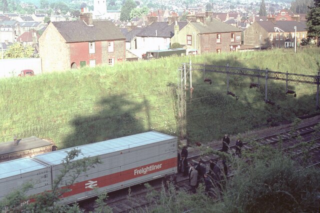
Bourne End rail crash
The Bourne End rail crash occurred on 30 September 1945 when a sleeper train from Perth to London Euston derailed, killing 43. The cause was driver error...
Nearby Amenities
Located within 500m of 51.761944,-0.53060644Have you been to Roseheath Wood?
Leave your review of Roseheath Wood below (or comments, questions and feedback).