Eathorpe
Settlement in Warwickshire Warwick
England
Eathorpe
Eathorpe is a small village located in the county of Warwickshire, England. Situated approximately five miles southeast of the town of Leamington Spa, it is nestled amidst picturesque countryside and offers a tranquil and idyllic setting.
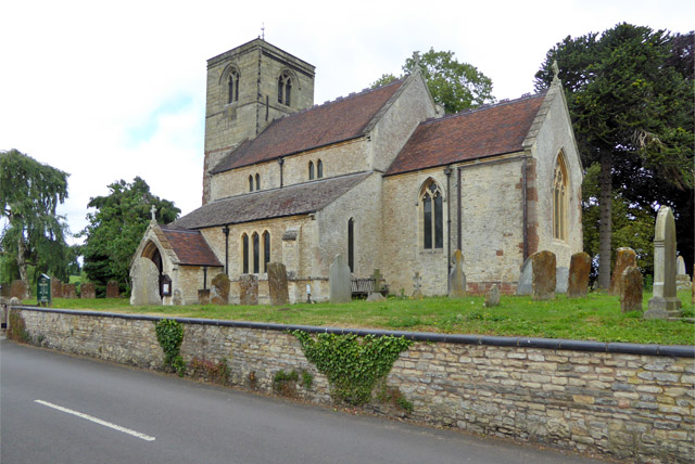
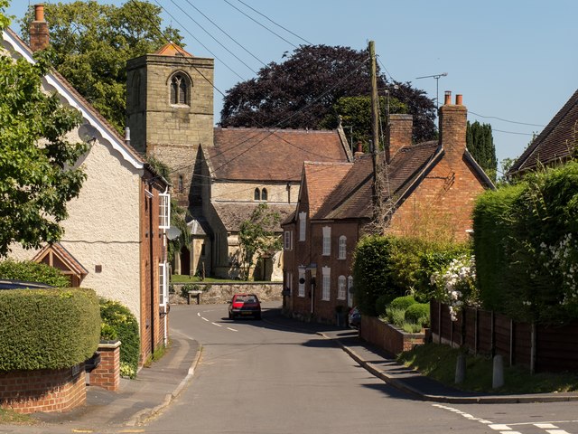
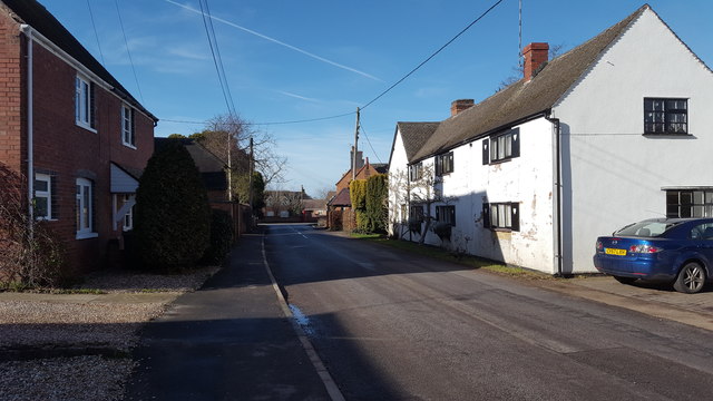
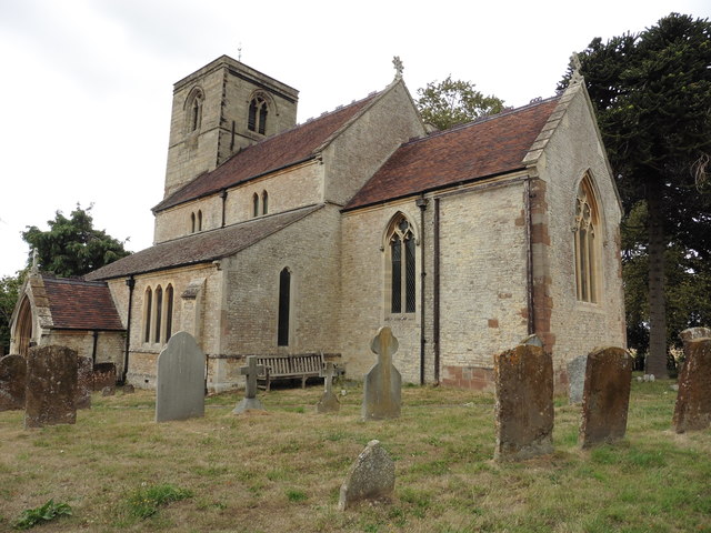
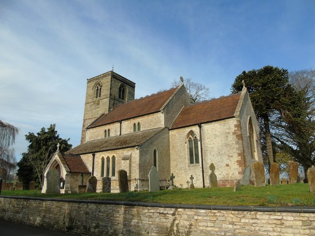
The village is known for its charming and quintessentially English character, with many traditional thatched-roof cottages and historic buildings lining its streets. Eathorpe is also home to a quaint village church, St. Mary's, which dates back to the 12th century and adds to the village's historical charm.
Despite its small size, Eathorpe boasts a strong sense of community and a friendly atmosphere. The village has a close-knit population, with residents often organizing various events and activities throughout the year, including fetes and community gatherings.
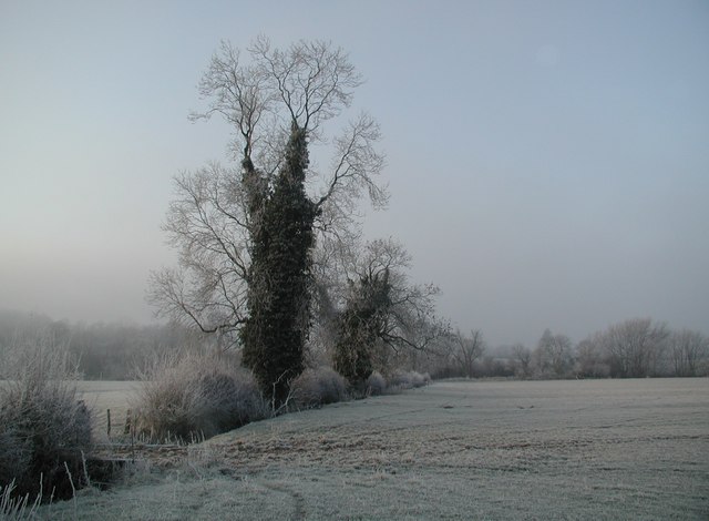
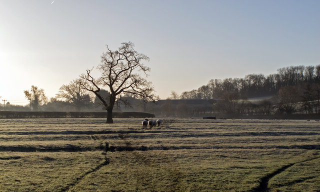
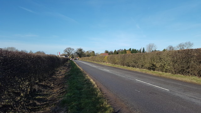
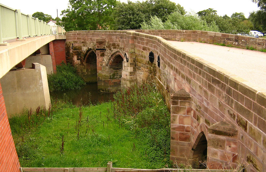
Surrounded by beautiful countryside, Eathorpe offers ample opportunities for outdoor activities and exploration. The village is located near the River Leam, providing residents and visitors with the chance to enjoy scenic walks along its banks or partake in fishing. The nearby countryside also offers opportunities for cycling and hiking, with numerous trails and paths winding through the rolling hills and fields.
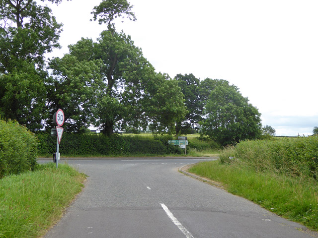
While Eathorpe may be a peaceful and tranquil village, it is conveniently located near larger towns and cities. The bustling town of Leamington Spa is just a short drive away, offering a wide range of amenities including shops, restaurants, and entertainment options.
Overall, Eathorpe is a charming and picturesque village that offers a peaceful and close-knit community, as well as easy access to the nearby amenities of larger towns.
If you have any feedback on the listing, please let us know in the comments section below.
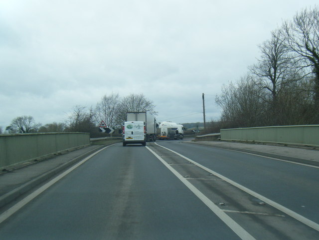
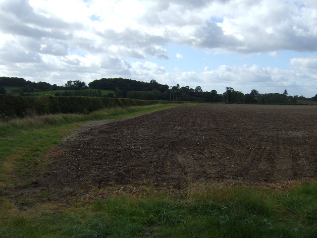
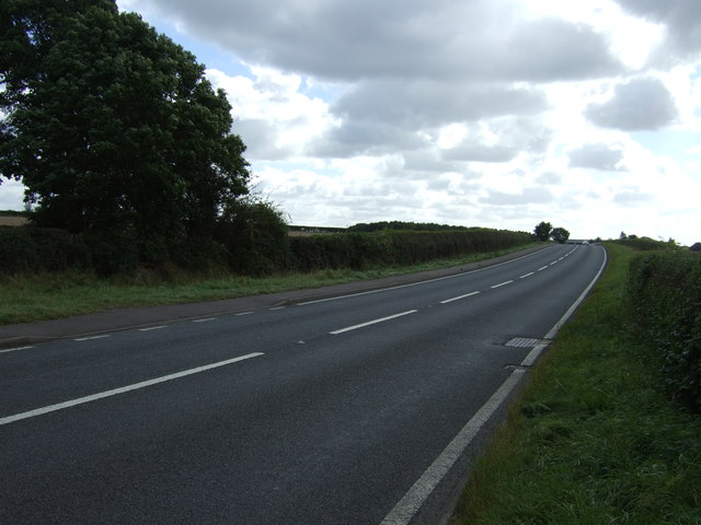
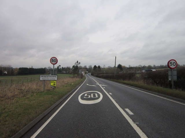
Eathorpe Images
Images are sourced within 2km of 52.318835/-1.424076 or Grid Reference SP3969. Thanks to Geograph Open Source API. All images are credited.
Eathorpe is located at Grid Ref: SP3969 (Lat: 52.318835, Lng: -1.424076)
Administrative County: Warwickshire
District: Warwick
Police Authority: Warwickshire
What 3 Words
///blink.clenching.guards. Near Long Itchington, Warwickshire
Nearby Locations
Related Wikis

Eathorpe
Eathorpe is a small village and civil parish five miles east of Leamington Spa, in Warwickshire, England. The parish is part of the electoral ward of Cubbington...

River Itchen, Warwickshire
The River Itchen flows through east Warwickshire in England. It is a small river, about 18 miles (29 km) long, and its general course is from south to...
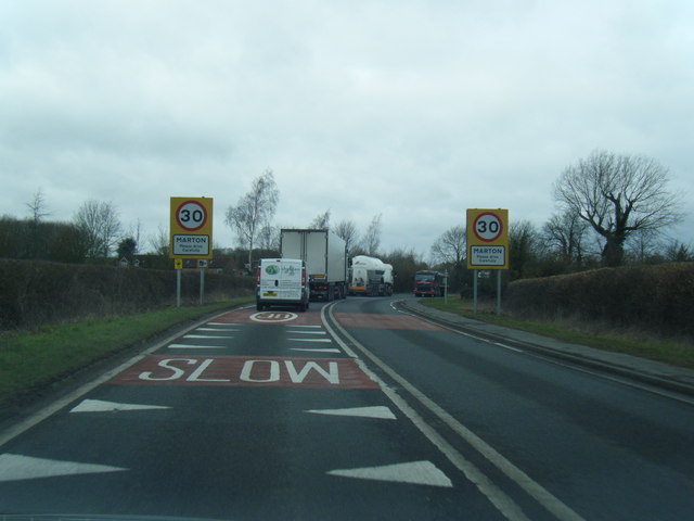
Marton, Warwickshire
Marton is a village and civil parish in Warwickshire, England. The parish is within the Borough of Rugby and in the 2011 Census' had a population of 484...

Wappenbury
Wappenbury is a small village and civil parish in the English county of Warwickshire. Located on the north bank of the River Leam Wappenbury is almost...
Nearby Amenities
Located within 500m of 52.318835,-1.424076Have you been to Eathorpe?
Leave your review of Eathorpe below (or comments, questions and feedback).