Eastwood Hall
Settlement in Nottinghamshire Broxtowe
England
Eastwood Hall
Eastwood Hall is a stately country house located in the county of Nottinghamshire, England. Situated in the small town of Eastwood, it holds a significant historical and architectural value. The Hall is surrounded by picturesque gardens and is set amidst the beautiful countryside, providing a serene and peaceful atmosphere.
Originally built in the early 19th century, Eastwood Hall has undergone several renovations and expansions over the years. Today, it stands as a grand mansion that represents a mix of Georgian and Victorian architectural styles. The imposing façade features a symmetrical design with large windows and a grand entrance.
The interior of Eastwood Hall is equally impressive, with its lavish rooms and ornate decor. The main reception area boasts high ceilings, intricate plasterwork, and elegant chandeliers. The Hall also offers a range of facilities, including conference and meeting rooms, a restaurant, and accommodation for guests.
The surrounding gardens of Eastwood Hall are a delight to explore, with well-manicured lawns, vibrant flower beds, and charming pathways. The estate also features a small lake, adding to its natural beauty. The Hall is a popular venue for weddings, corporate events, and other special occasions, thanks to its stunning setting and excellent amenities.
Located just a short drive from Nottingham city center, Eastwood Hall enjoys easy access to major road networks, making it a convenient destination for visitors. Whether for a relaxing getaway or a grand event, Eastwood Hall offers a unique and memorable experience for all who visit.
If you have any feedback on the listing, please let us know in the comments section below.
Eastwood Hall Images
Images are sourced within 2km of 53.01833/-1.3157369 or Grid Reference SK4647. Thanks to Geograph Open Source API. All images are credited.


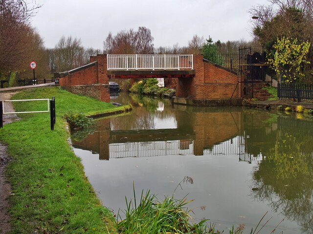
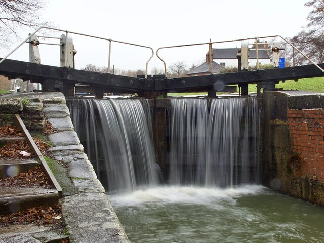
![Narrowboat 'Gone Roaming' But not roaming today as it&#039;s moored below Anchor Bridge <a href="https://www.geograph.org.uk/photo/7044756">SK4546 : Bridge #27 on the Erewash Canal</a>]](https://s2.geograph.org.uk/geophotos/07/04/47/7044758_81fe5e6c.jpg)
Eastwood Hall is located at Grid Ref: SK4647 (Lat: 53.01833, Lng: -1.3157369)
Administrative County: Nottinghamshire
District: Broxtowe
Police Authority: Nottinghamshire
What 3 Words
///leaflet.riches.escalates. Near Eastwood, Nottinghamshire
Nearby Locations
Related Wikis
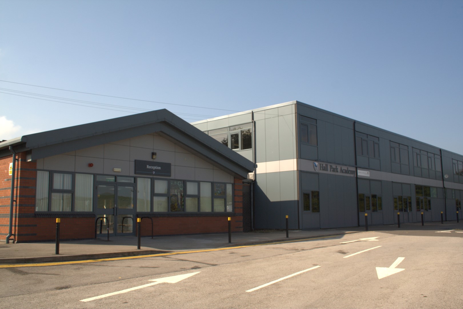
Hall Park Academy
Hall Park Academy (formerly Eastwood Comprehensive School) is a coeducational secondary school and sixth form located in Eastwood in the English county...

Eastwood and Langley Mill railway station
Eastwood and Langley Mill railway station is a former railway station serving the town of Eastwood and the village of Langley Mill in Derbyshire, England...

D. H. Lawrence Birthplace Museum
The D. H. Lawrence Birthplace Museum is a writer's home museum dedicated to the writer D. H. Lawrence situated in Eastwood, near Nottingham. It is the...

Raleigh Bicycle Company
The Raleigh Bicycle Company is a British bicycle manufacturer based in Nottingham, England and founded by Woodhead and Angois in 1885. Using Raleigh as...
Nearby Amenities
Located within 500m of 53.01833,-1.3157369Have you been to Eastwood Hall?
Leave your review of Eastwood Hall below (or comments, questions and feedback).