Eastwood End
Settlement in Cambridgeshire Fenland
England
Eastwood End
Eastwood End is a small village located in the county of Cambridgeshire, England. Situated approximately 10 miles northeast of the city of Cambridge, Eastwood End is nestled amidst the picturesque countryside of the region. With a population of around 300 residents, it offers a tranquil and close-knit community atmosphere.
The village is known for its charming thatched-roof cottages, which add to its quintessential English countryside appeal. Surrounded by lush green fields and rolling hills, Eastwood End provides a peaceful retreat from the bustling city life.
Despite its small size, Eastwood End has some amenities to cater to the needs of its residents. The village boasts a local pub, The Horse and Hound, where locals gather for a pint and enjoy traditional British pub food. Additionally, a small convenience store provides basic groceries and essentials.
For outdoor enthusiasts, Eastwood End offers numerous opportunities for exploration and recreation. The village is surrounded by beautiful walking and cycling trails, allowing residents and visitors to immerse themselves in the natural beauty of the area. The nearby River Cam provides opportunities for boating and fishing, further enhancing the village's appeal for nature lovers.
Overall, Eastwood End, Cambridgeshire is a charming village that offers a peaceful and idyllic lifestyle amidst the stunning English countryside. Its close-knit community, picturesque surroundings, and outdoor recreational opportunities make it an attractive destination for those seeking a quieter, rural living experience.
If you have any feedback on the listing, please let us know in the comments section below.
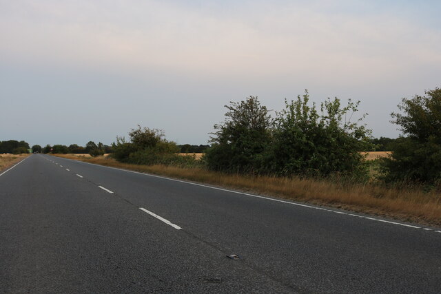
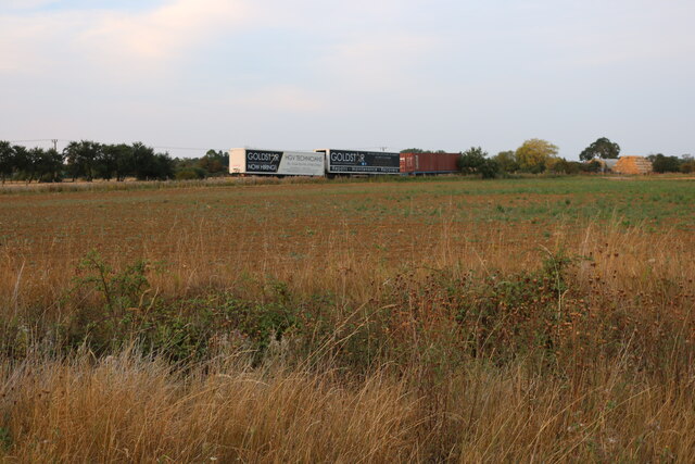
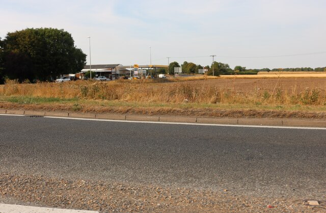
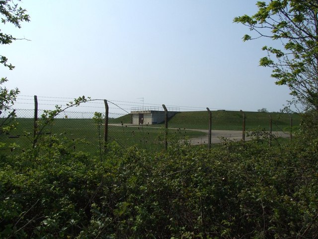
Eastwood End Images
Images are sourced within 2km of 52.514059/0.094108 or Grid Reference TL4292. Thanks to Geograph Open Source API. All images are credited.


Eastwood End is located at Grid Ref: TL4292 (Lat: 52.514059, Lng: 0.094108)
Division: Isle of Ely
Administrative County: Cambridgeshire
District: Fenland
Police Authority: Cambridgeshire
What 3 Words
///assist.collide.nuzzling. Near Wimblington, Cambridgeshire
Nearby Locations
Related Wikis

Wimblington railway station
Wimblington railway station was a station in the village of Wimblington, Cambridgeshire. It was closed in 1967 as part of the Beeching Axe.The station...

Wimblington
Wimblington is a village in the Isle of Ely, Cambridgeshire, England, with a population of 1700 as of the 2001 census, including Stonea and increasing...
Neale-Wade Academy
Neale-Wade Academy (formerly Neale-Wade Community College) is a secondary school and sixth form with academy status in the market town of March, Cambridgeshire...
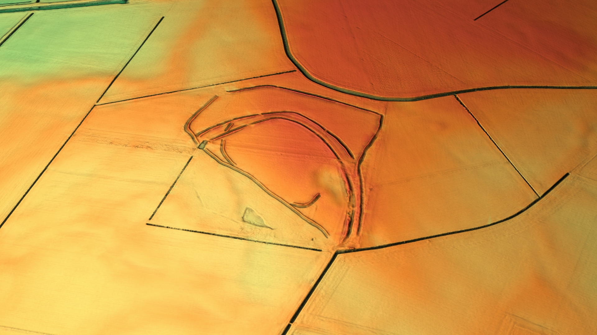
Stonea Camp
Stonea Camp is an Iron Age multivallate hill fort located at Stonea near March in the Cambridgeshire Fens. Situated on a gravel bank just 2 metres (6 ft...
Gault Wood
Gault Wood is a woodland in Cambridgeshire, England, near the town of March. It covers a total area of 6.51 hectares (16.09 acres). It is owned and managed...

Doddington, Cambridgeshire
Doddington is a village and civil parish lying just off the A141 in the Isle of Ely, Cambridgeshire, approximately half way (4 miles (6 km)) between Chatteris...
The Avenue Sports Club Ground
The Avenue Sports Club Ground is a cricket ground in March, Cambridgeshire. The ground was established in 1939, when Cambridgeshire played Suffolk in...
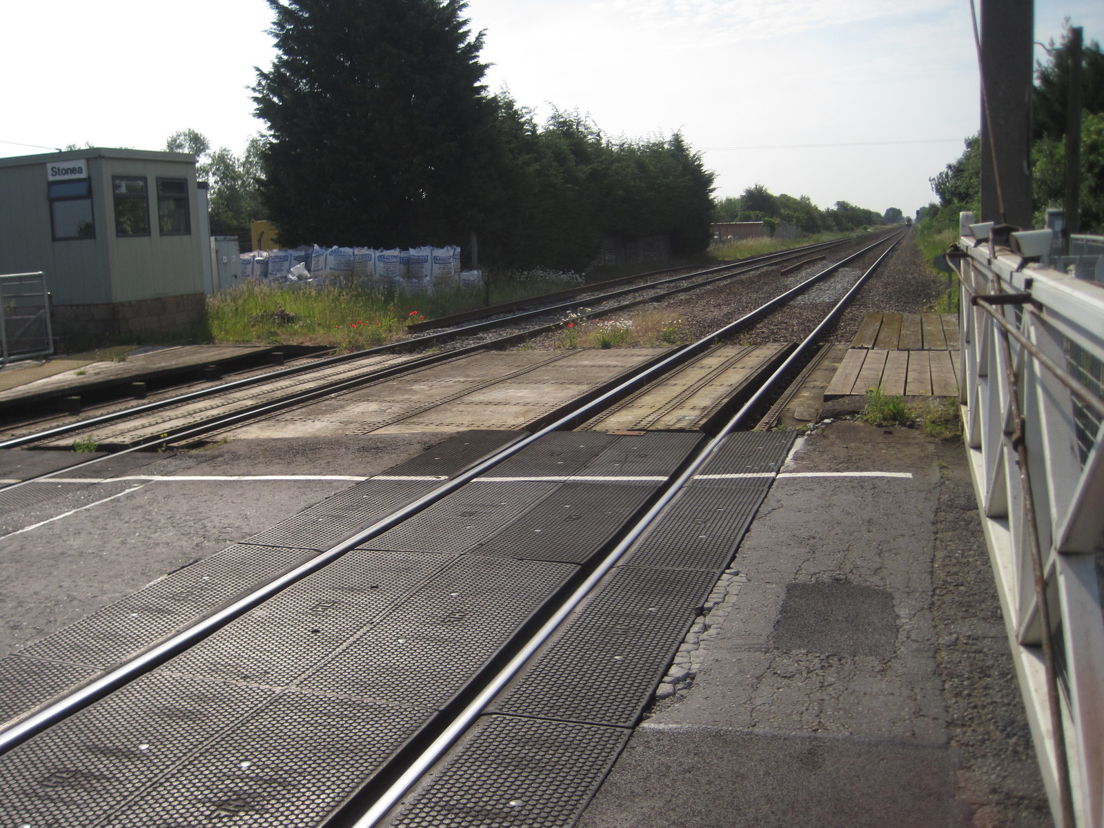
Stonea railway station
Stonea railway station is a former railway station serving the small village of Stonea, Cambridgeshire. Although the station closed in 1966, the line is...
Nearby Amenities
Located within 500m of 52.514059,0.094108Have you been to Eastwood End?
Leave your review of Eastwood End below (or comments, questions and feedback).