Eastwood
Settlement in Yorkshire
England
Eastwood
Eastwood is a picturesque village located in the East Riding of Yorkshire, England. It lies approximately 7 miles east of the city of Hull, and is nestled in the heart of the Holderness region. With a population of around 1,500 residents, it maintains a close-knit community atmosphere.
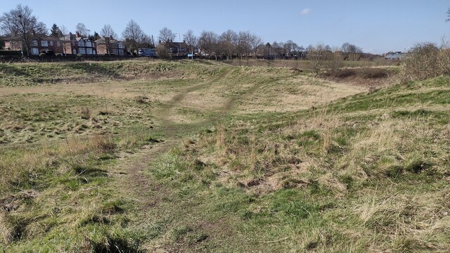
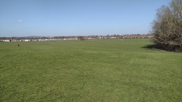
The village is known for its stunning rural landscape, characterized by rolling hills, lush fields, and charming country lanes. The surrounding countryside is primarily used for agriculture, with fields of crops and grazing livestock dotting the landscape. The village is also blessed with a beautiful nature reserve, attracting a variety of wildlife and providing a peaceful retreat for residents and visitors alike.
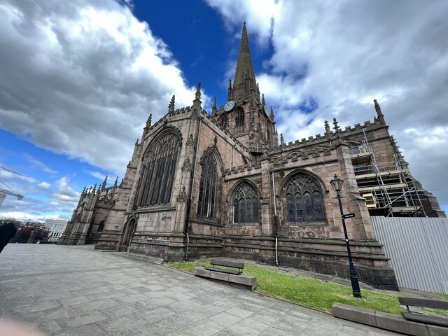
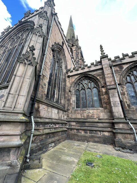
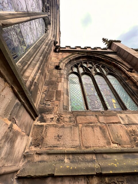
Eastwood boasts a rich history, with evidence of human settlement dating back to the Roman period. The village is home to several historic buildings, including the All Saints Church, a Grade II listed building that dates back to the 12th century. The church's architecture and stained glass windows are particularly noteworthy.
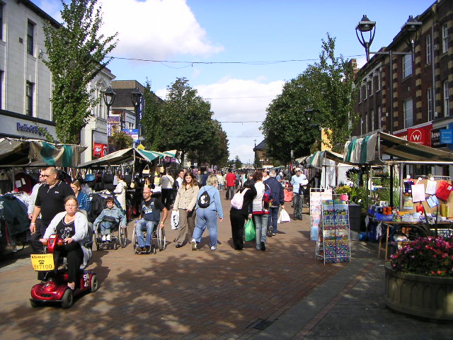
In terms of amenities, the village offers a range of facilities to meet the needs of its residents. These include a primary school, a village hall, a post office, and a handful of local shops and pubs. The close proximity to Hull also provides access to a wider range of services and amenities.
Overall, Eastwood offers a tranquil and idyllic setting for those seeking a peaceful rural lifestyle, while still providing easy access to nearby urban areas. Its natural beauty, historic charm, and strong sense of community make it a desirable place to live or visit.
If you have any feedback on the listing, please let us know in the comments section below.
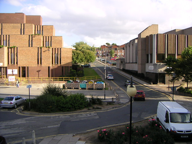
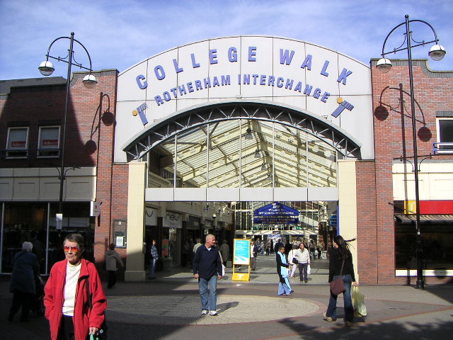
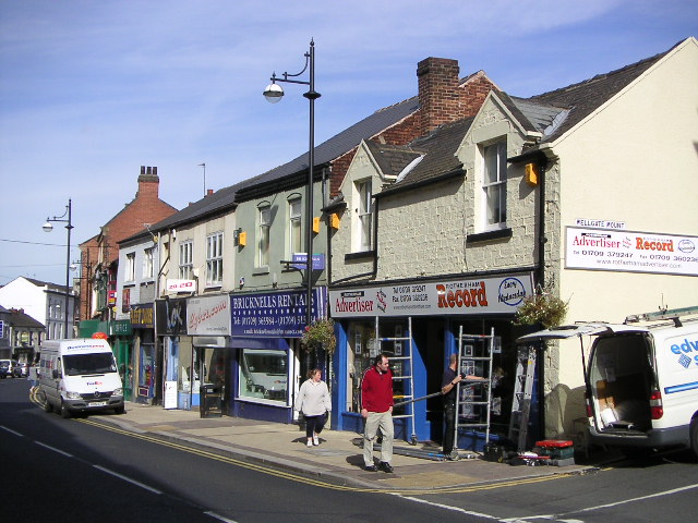
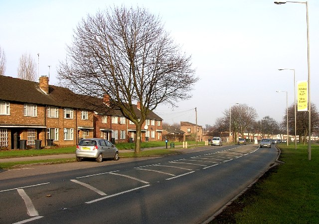
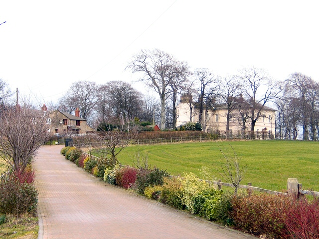
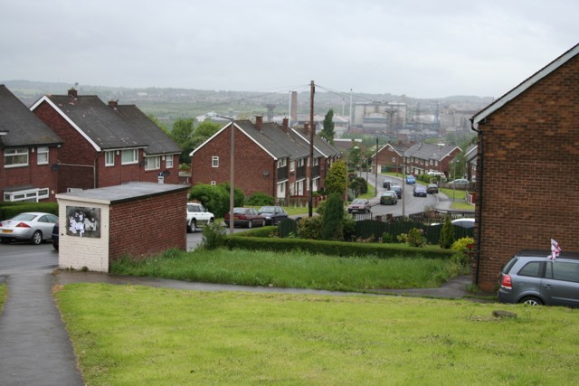
Eastwood Images
Images are sourced within 2km of 53.437363/-1.343641 or Grid Reference SK4393. Thanks to Geograph Open Source API. All images are credited.


Eastwood is located at Grid Ref: SK4393 (Lat: 53.437363, Lng: -1.343641)
Division: West Riding
Unitary Authority: Rotherham
Police Authority: South Yorkshire
What 3 Words
///monks.erase.hails. Near Rotherham, South Yorkshire
Nearby Locations
Related Wikis
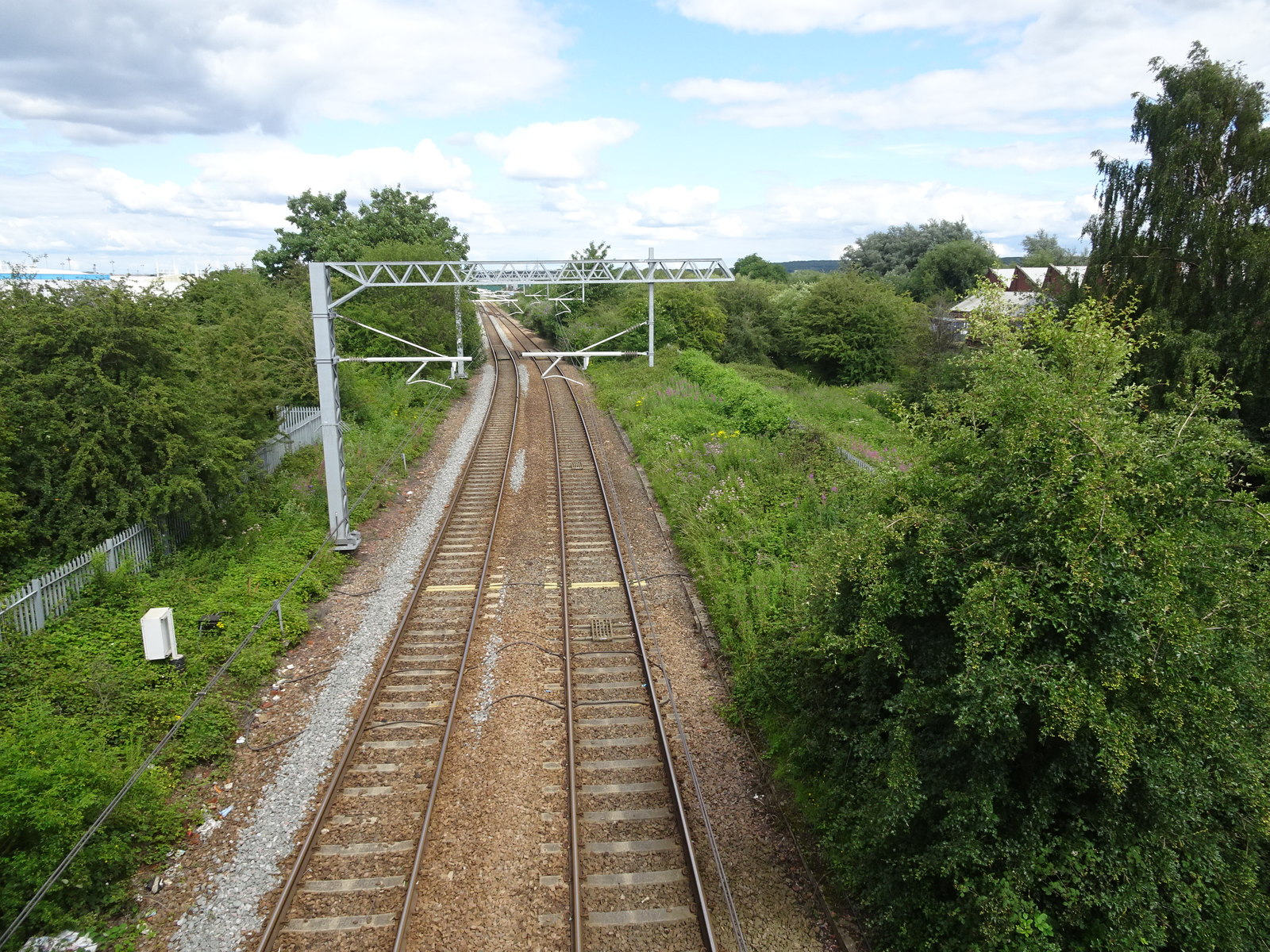
Rotherham Road railway station
Rotherham Road railway station, named Park Gate until 1 November 1895, was a railway station situated in Rotherham, South Yorkshire, England. It was built...
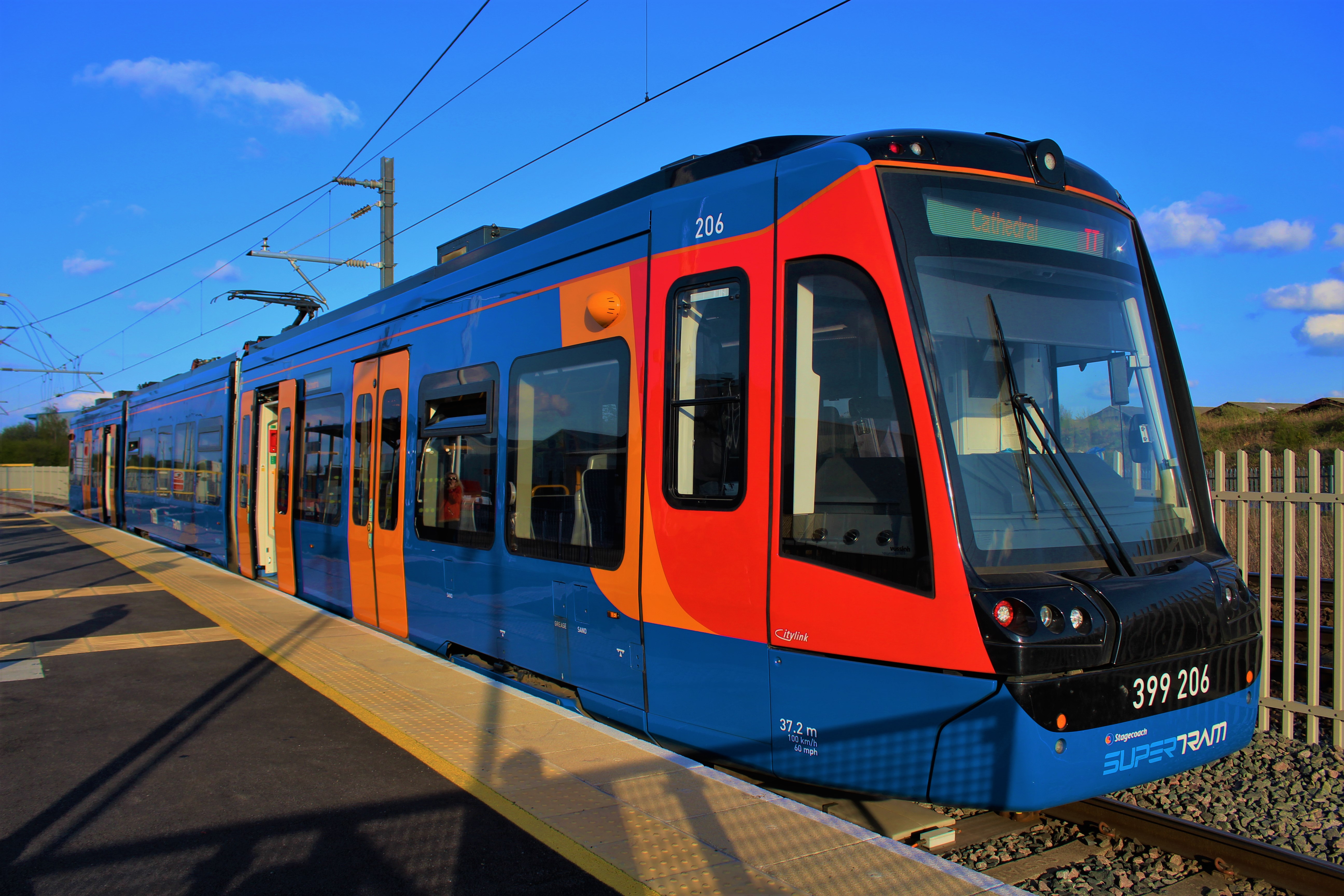
Parkgate railway station (Rotherham)
Parkgate (or Rotherham Parkgate) is a tram-train stop on the Sheffield Supertram network. It opened on 25 October 2018, following the opening of the extension...

Rotherham Girls' High School
Rotherham Girls' Grammar School was a grammar school in Rotherham. == History == The school was taken over by Rotherham Corporation in 1906. It moved to...
Clifton Community School
Clifton Community School is a secondary school located in Rotherham, South Yorkshire, England. It is situated on Middle Lane and receives children from...
Nearby Amenities
Located within 500m of 53.437363,-1.343641Have you been to Eastwood?
Leave your review of Eastwood below (or comments, questions and feedback).