Rotherham Cut
Lake, Pool, Pond, Freshwater Marsh in Yorkshire
England
Rotherham Cut
Rotherham Cut is a man-made waterway located in the town of Rotherham, South Yorkshire, England. It is a significant feature of the local landscape and serves multiple purposes for both the community and the environment.
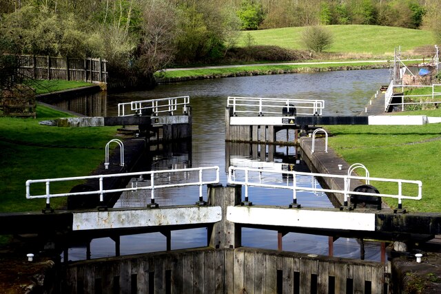
Originally constructed in the early 18th century, Rotherham Cut was designed as a navigable canal connecting the River Don to the Sheffield and South Yorkshire Navigation system. It was primarily used for transporting goods, such as coal and iron, between Rotherham and other industrial towns in the region.
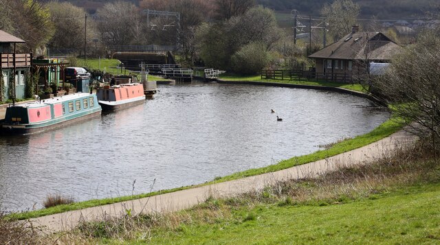
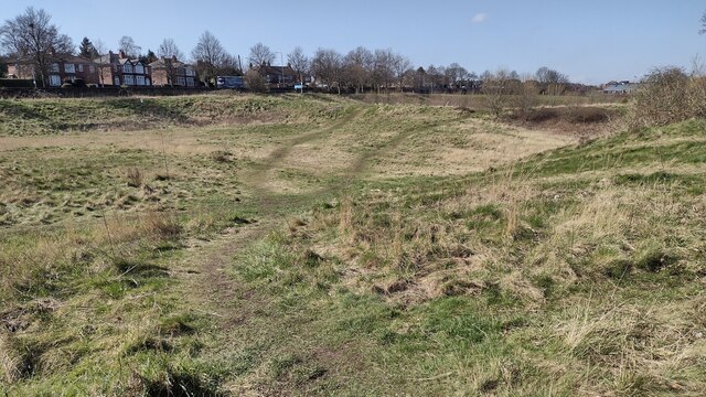
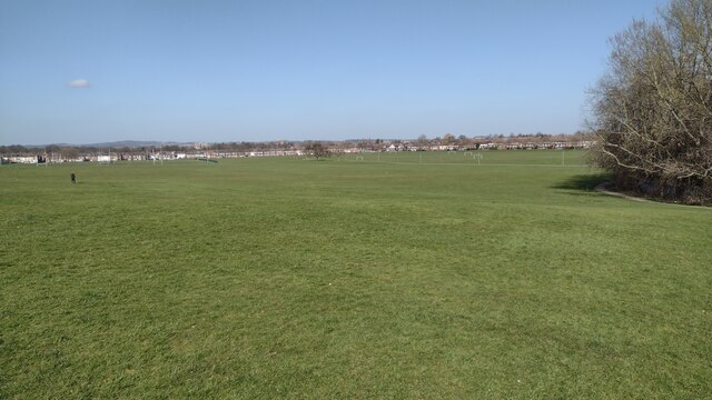
Today, Rotherham Cut has transformed into a picturesque lake, pool, pond, and freshwater marsh, offering a tranquil and scenic environment for both locals and visitors. The waterway stretches approximately 2 miles, providing a peaceful setting for leisure activities such as fishing, boating, and birdwatching.
The surrounding area of Rotherham Cut has also been developed into a nature reserve, providing a habitat for various wildlife species, including birds, fish, and amphibians. The freshwater marsh serves as an important breeding ground for wetland birds, attracting numerous species throughout the year.
Furthermore, the Rotherham Cut has become an integral part of the local ecosystem, helping regulate water flow and prevent flooding during heavy rainfall. Its strategic location and design ensure that excess water is efficiently channeled away from the town, protecting the surrounding areas from potential damage.
Overall, Rotherham Cut in Yorkshire is a significant waterway that not only holds historical importance but also provides recreational opportunities and supports biodiversity in the region.
If you have any feedback on the listing, please let us know in the comments section below.
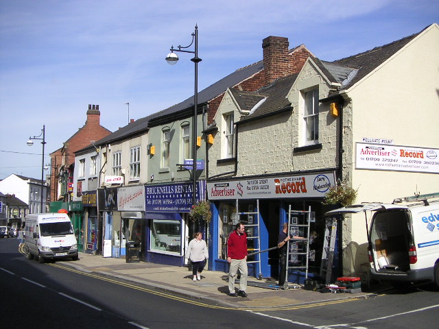
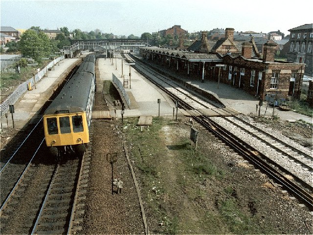
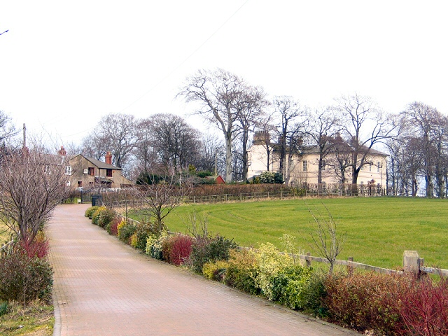
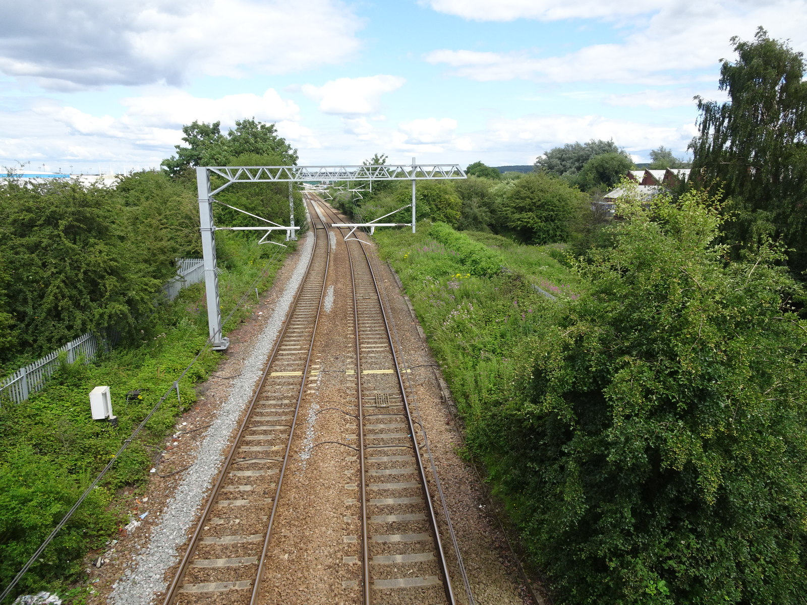
Rotherham Cut Images
Images are sourced within 2km of 53.437493/-1.3522121 or Grid Reference SK4393. Thanks to Geograph Open Source API. All images are credited.


Rotherham Cut is located at Grid Ref: SK4393 (Lat: 53.437493, Lng: -1.3522121)
Division: West Riding
Unitary Authority: Rotherham
Police Authority: South Yorkshire
What 3 Words
///jumpy.human.guises. Near Rotherham, South Yorkshire
Nearby Locations
Related Wikis

Rotherham Power Station
Rotherham power station (also known as Prince of Wales Power Station) was a coal-fired power station sited close to the centre of Rotherham in South Yorkshire...
Rotherham Road railway station
Rotherham Road railway station, named Park Gate until 1 November 1895, was a railway station situated in Rotherham, South Yorkshire, England. It was built...

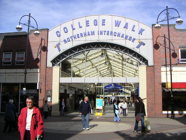
Rotherham Interchange
Rotherham Interchange is a bus station serving the town of Rotherham, South Yorkshire. It consists of 24 bus stands located inside the main Interchange...

Rotherham Bridge
Rotherham Bridge crosses the River Don in central Rotherham, South Yorkshire. It is known for its bridge chapel, considered the best preserved in England...
Nearby Amenities
Located within 500m of 53.437493,-1.3522121Have you been to Rotherham Cut?
Leave your review of Rotherham Cut below (or comments, questions and feedback).