Horsell Moor
Wood, Forest in Surrey Woking
England
Horsell Moor
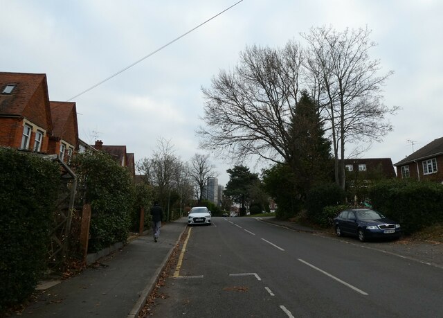
Horsell Moor, located in the county of Surrey in southeastern England, is a stunning wood and forest area that covers approximately 188 acres of land. This expansive natural space is part of the larger Horsell Common, which encompasses a total of 860 acres. The moor is situated near the town of Woking and is easily accessible to visitors.
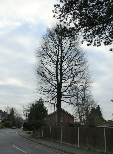
Horsell Moor boasts a diverse range of flora and fauna, making it a haven for nature enthusiasts. The woodland is predominantly made up of native tree species such as oak, birch, and pine, creating a rich and varied ecosystem. The forest floor is adorned with an array of wildflowers, including bluebells and primroses, which bloom vibrantly during the spring months.
The moor is also home to a variety of wildlife, providing ample opportunities for wildlife spotting. Visitors may catch glimpses of deer, foxes, rabbits, and a multitude of bird species, including woodpeckers and owls. The tranquil atmosphere and serene surroundings make Horsell Moor an ideal place for birdwatching and nature photography.
The wood is crisscrossed by a network of well-maintained footpaths, allowing visitors to explore the area at their leisure. There are also designated picnic areas, perfect for enjoying a relaxing lunch amidst the natural beauty. Additionally, the moor features a children's play area, making it an excellent destination for families.
Horsell Moor is cherished by locals and visitors alike for its picturesque scenery, abundant wildlife, and peaceful ambiance. Whether one seeks a leisurely stroll, a picnic with loved ones, or an opportunity to connect with nature, this enchanting wood and forest area provides an idyllic escape from the hustle and bustle of everyday life.
If you have any feedback on the listing, please let us know in the comments section below.
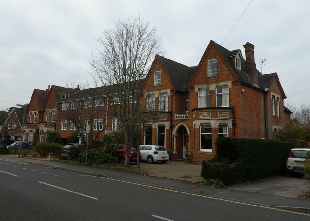
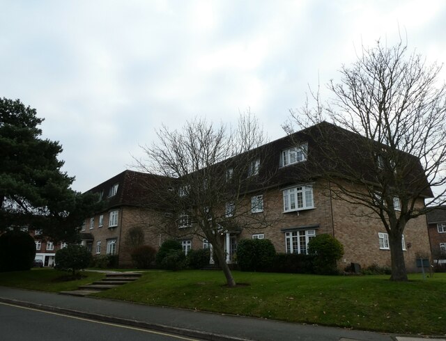
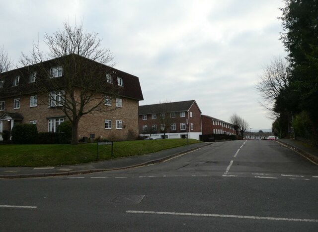
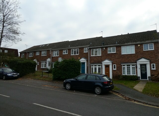
Horsell Moor Images
Images are sourced within 2km of 51.321009/-0.56399803 or Grid Reference TQ0058. Thanks to Geograph Open Source API. All images are credited.


Horsell Moor is located at Grid Ref: TQ0058 (Lat: 51.321009, Lng: -0.56399803)
Administrative County: Surrey
District: Woking
Police Authority: Surrey
What 3 Words
///stray.fear.crass. Near Woking, Surrey
Nearby Locations
Related Wikis
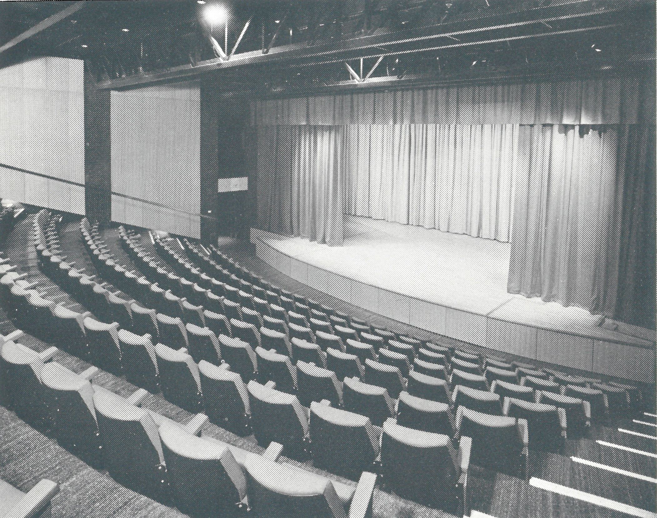
Rhoda McGaw Theatre
The Rhoda McGaw Theatre is part of the entertainment complex adjacent to the Peacock Centre in Woking, Surrey. The theatre seats 228 in 9 rows of raked...
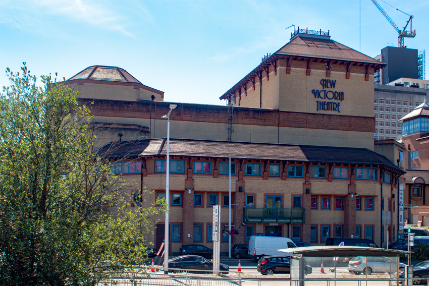
New Victoria Theatre
The New Victoria Theatre in Woking, England opened in June 1992. The main theatre seats approximately 1,300 people, making it one of the largest receiving...
Italia Conti Academy of Theatre Arts
The Italia Conti Academy of Theatre Arts (drama school), also known as Italia Conti Arts Centre, and formerly known as the Italia Conti Academy of Theatre...

Victoria Place
Victoria Place (formerly known as The Peacocks) is a multi-storey shopping and leisure centre in Woking, Surrey, England. Construction of the centre was...
Nearby Amenities
Located within 500m of 51.321009,-0.56399803Have you been to Horsell Moor?
Leave your review of Horsell Moor below (or comments, questions and feedback).