Little Riverhill Copse
Wood, Forest in Sussex Chichester
England
Little Riverhill Copse
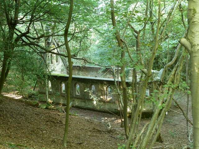
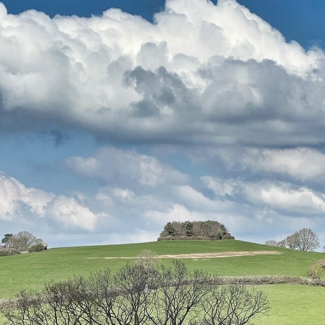
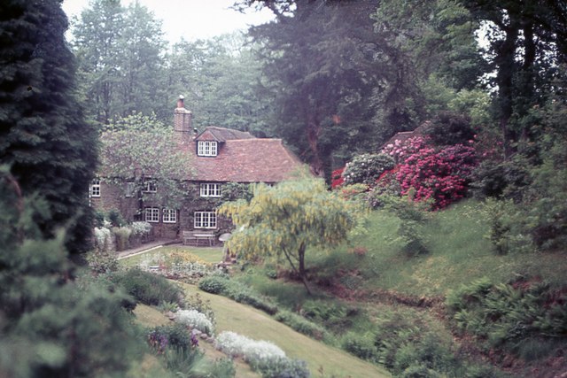
Little Riverhill Copse is a picturesque woodland located in Sussex, England. Covering an area of approximately 20 acres, this enchanting forest is nestled in the heart of the South Downs National Park, just a few miles away from the village of Rotherfield.
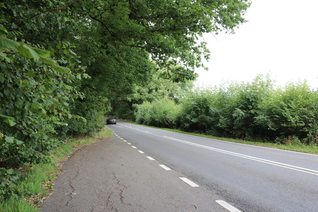
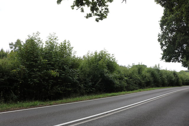
The copse is made up of a diverse mix of trees, including oak, beech, ash, and hazel. These towering giants create a dense canopy, allowing only dappled sunlight to filter through to the forest floor. The undergrowth is rich in biodiversity, with an array of wildflowers, ferns, and mosses flourishing in the damp and shady environment.
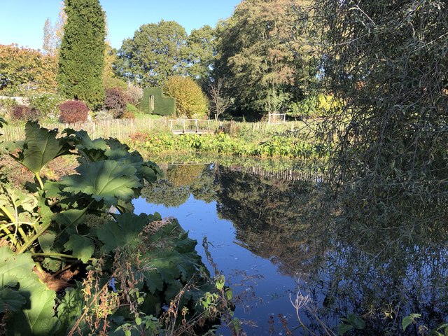
A small river meanders through the copse, adding to its natural beauty and providing a refreshing water source for the various woodland creatures that call this place home. It is not uncommon to spot deer, squirrels, and a variety of bird species, including woodpeckers and owls, as you wander through the forest.
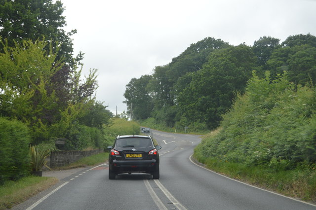
Little Riverhill Copse is a haven for nature enthusiasts and hikers alike. The forest offers a network of well-maintained footpaths, allowing visitors to explore its tranquil surroundings. The diversity of the terrain makes it an ideal location for leisurely walks, birdwatching, and photography.
In spring, the copse comes alive with a burst of vibrant colors, as bluebells blanket the forest floor, creating a breathtaking sight. Autumn brings a different kind of beauty, as the leaves change into a kaleidoscope of red, orange, and gold, creating a stunning backdrop for leisurely strolls.
Little Riverhill Copse is a true gem of Sussex, offering a peaceful retreat from the bustling city life and providing visitors with an opportunity to connect with nature's wonders.
If you have any feedback on the listing, please let us know in the comments section below.
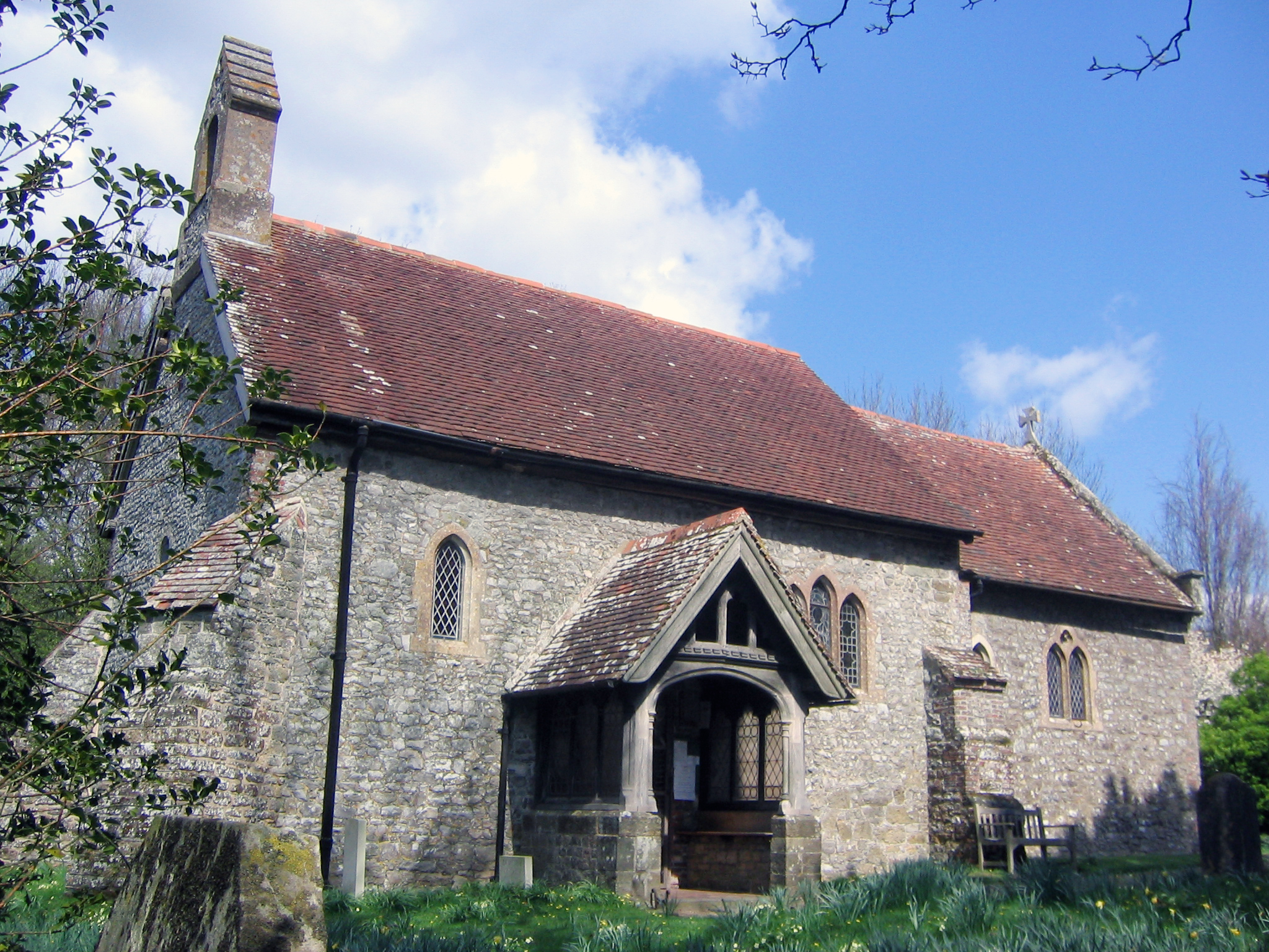
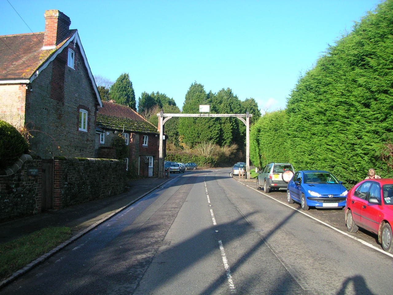
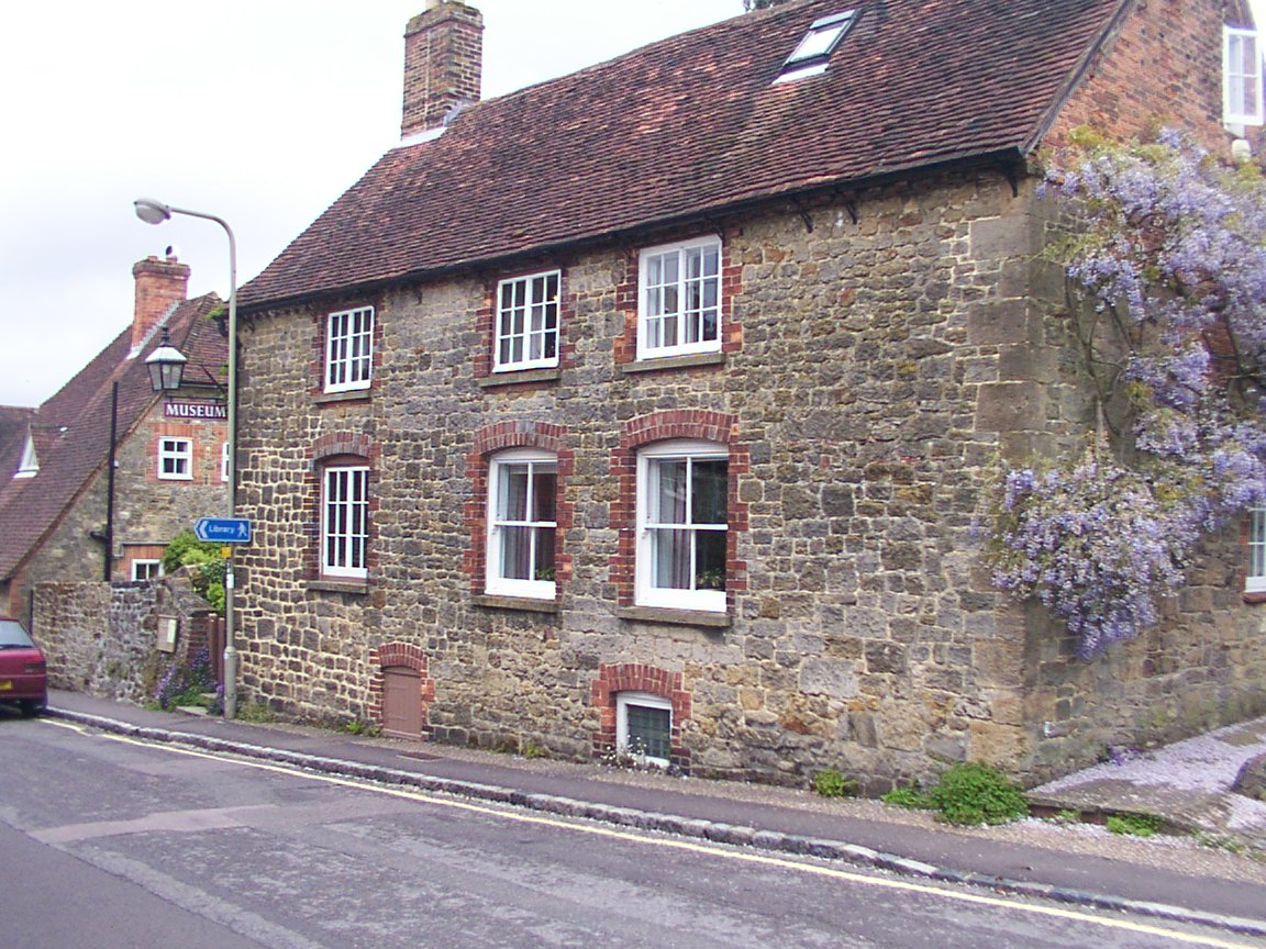
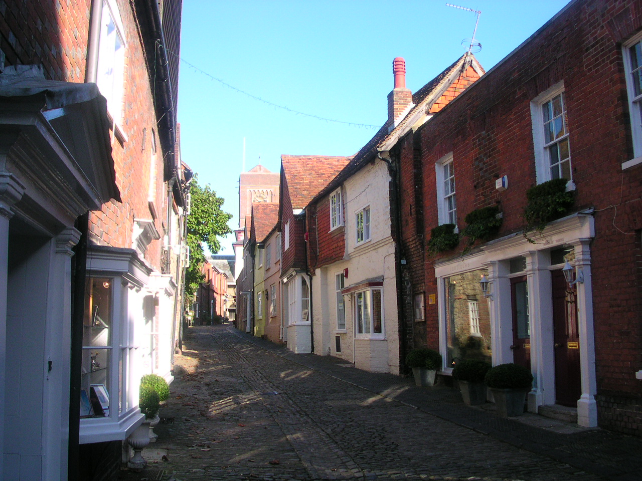
Little Riverhill Copse Images
Images are sourced within 2km of 50.979068/-0.57447129 or Grid Reference TQ0020. Thanks to Geograph Open Source API. All images are credited.


Little Riverhill Copse is located at Grid Ref: TQ0020 (Lat: 50.979068, Lng: -0.57447129)
Administrative County: West Sussex
District: Chichester
Police Authority: Sussex
What 3 Words
///explain.acting.kickbacks. Near Petworth, West Sussex
Nearby Locations
Related Wikis

Bognor Common Quarry
Bognor Common Quarry is a 25.1-hectare (62-acre) geological Site of Special Scientific Interest east of Petworth in West Sussex. It is a Geological Conservation...
Egdean
Egdean (pronounced Egg-deen) is a small village in the Chichester district of West Sussex, England. It lies just off the A283 road 1.7 miles (2.8 km) southeast...

Bedham
Bedham is a hamlet 4 kilometres (2+1⁄2 miles) east of Petworth in the Chichester District of West Sussex, England. It is in the civil parish of Wisborough...
Fittleworth
Fittleworth is a village and civil parish in the District of Chichester in West Sussex, England located seven kilometres (3 miles) west from Pulborough...

Coates Castle SSSI
Coates Castle SSSI is a 7.7-hectare (19-acre) biological Site of Special Scientific Interest west of Pulborough in West Sussex.This site consists of three...

Sacred Heart Church, Petworth
Sacred Heart Church is a Roman Catholic Parish church in Petworth, West Sussex, England. It was built in 1896 and designed by Frederick Walters. It is...
Petworth Cottage Museum
Petworth Cottage Museum, at 346 High Street, Petworth, West Sussex is a Leconfield Estate worker's cottage. It has been restored and furnished as it might...
Petworth
Petworth is a town and civil parish in the Chichester District of West Sussex, England. It is located at the junction of the A272 east–west road from Heathfield...
Nearby Amenities
Located within 500m of 50.979068,-0.57447129Have you been to Little Riverhill Copse?
Leave your review of Little Riverhill Copse below (or comments, questions and feedback).