Mount Hermon
Settlement in Surrey Woking
England
Mount Hermon
Mount Hermon, located in Surrey, England, is a picturesque village situated in the southeastern part of the county. It is nestled in the heart of the Surrey Hills, an Area of Outstanding Natural Beauty, which attracts visitors from far and wide. The village is surrounded by stunning landscapes, including rolling hills, dense woodlands, and charming meadows.
Mount Hermon is renowned for its tranquil and idyllic atmosphere, making it a popular destination for those seeking a peaceful retreat away from the hustle and bustle of city life. The village boasts a small, close-knit community, with a population of approximately 500 people.
One of the main attractions in Mount Hermon is its historic church, which dates back to the 12th century. The church is known for its beautiful architecture, and it serves as a focal point for community gatherings and events. Another notable feature of the village is its network of footpaths and bridleways that crisscross the surrounding countryside, providing ample opportunities for walking, cycling, and horse riding.
Despite its rural setting, Mount Hermon benefits from good transport links. The nearby town of Dorking is just a short drive away and offers a wide range of amenities, including shops, restaurants, and leisure facilities. Additionally, the village is well-connected to London and other major cities through a reliable bus and train network.
Overall, Mount Hermon is a charming and peaceful village that offers a perfect blend of natural beauty, historical charm, and easy access to urban amenities. It is a hidden gem in Surrey, attracting nature lovers and those seeking a slower pace of life.
If you have any feedback on the listing, please let us know in the comments section below.
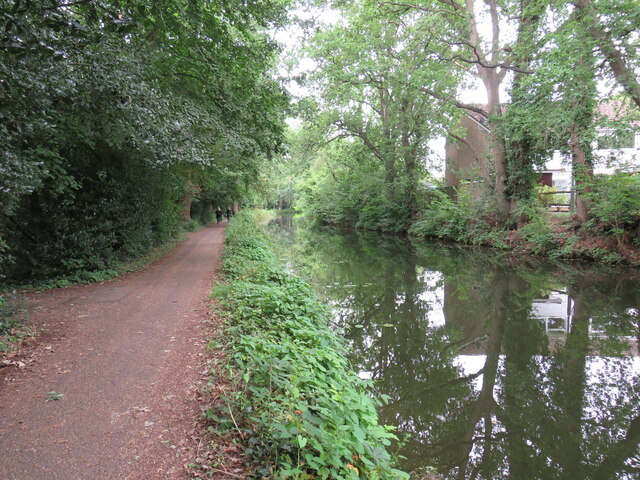
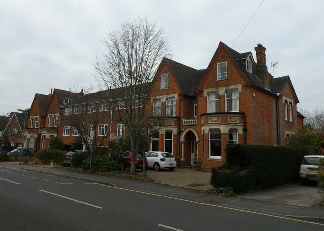
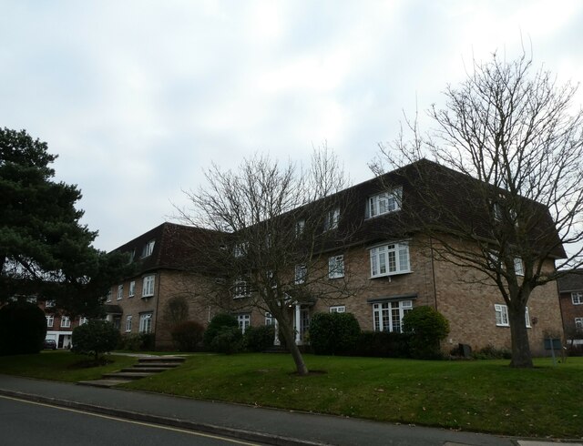
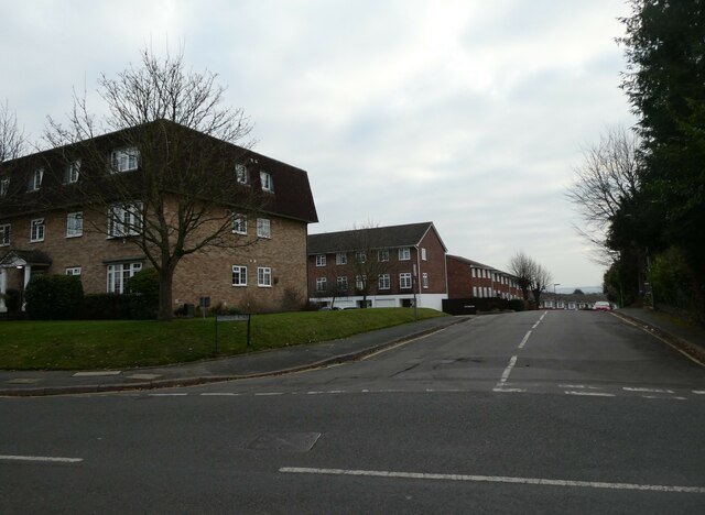
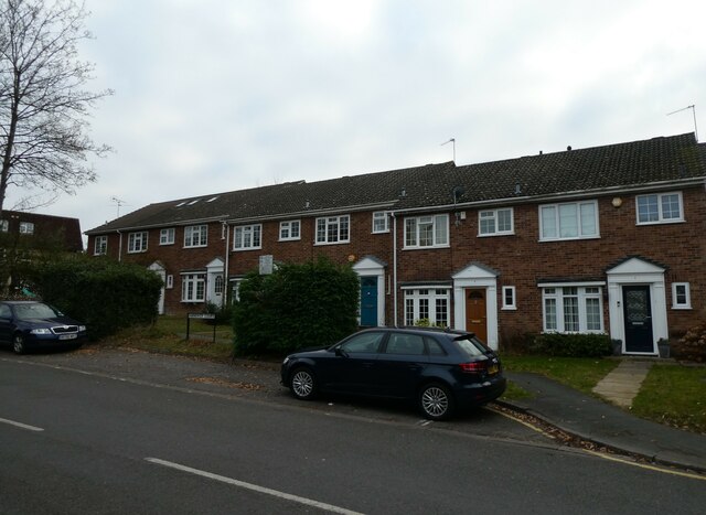
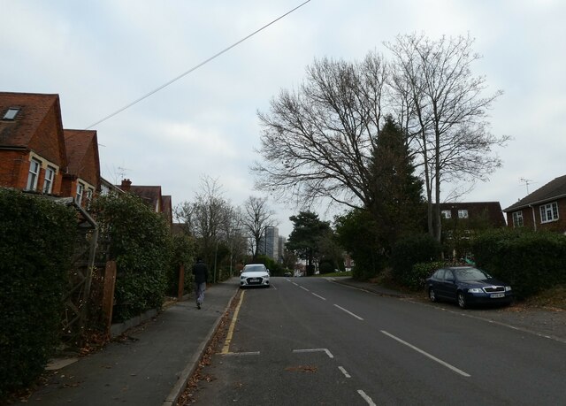
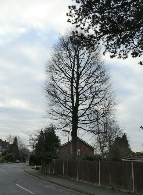
Mount Hermon Images
Images are sourced within 2km of 51.314813/-0.56176648 or Grid Reference TQ0058. Thanks to Geograph Open Source API. All images are credited.


Mount Hermon is located at Grid Ref: TQ0058 (Lat: 51.314813, Lng: -0.56176648)
Administrative County: Surrey
District: Woking
Police Authority: Surrey
What 3 Words
///rugs.brains.values. Near Woking, Surrey
Nearby Locations
Related Wikis

Victoria Square, Woking
Victoria Square is a residential skyscraper complex and wider town centre redevelopment project in Woking, Surrey. Upon topping out in September 2019,...
Italia Conti Academy of Theatre Arts
The Italia Conti Academy of Theatre Arts is a performing arts conservatoire based in Woking, England. It was founded by the actress Italia Conti in 1911...
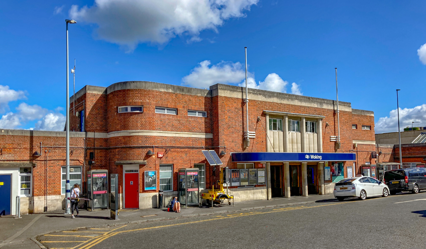
Woking railway station
Woking railway station is a major stop in Woking, England, on the South West Main Line used by many commuters. It is 24 miles 27 chains (39.2 km) down...
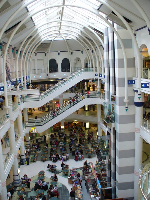
Victoria Place
Victoria Place (formerly known as The Peacocks) is a multi-storey shopping and leisure centre in Woking, Surrey, England. Construction of the centre was...
Tante Marie
Tante Marie Culinary Academy is a cookery school in Woking, Surrey, England. It is the United Kingdom's oldest independent cookery school, established...
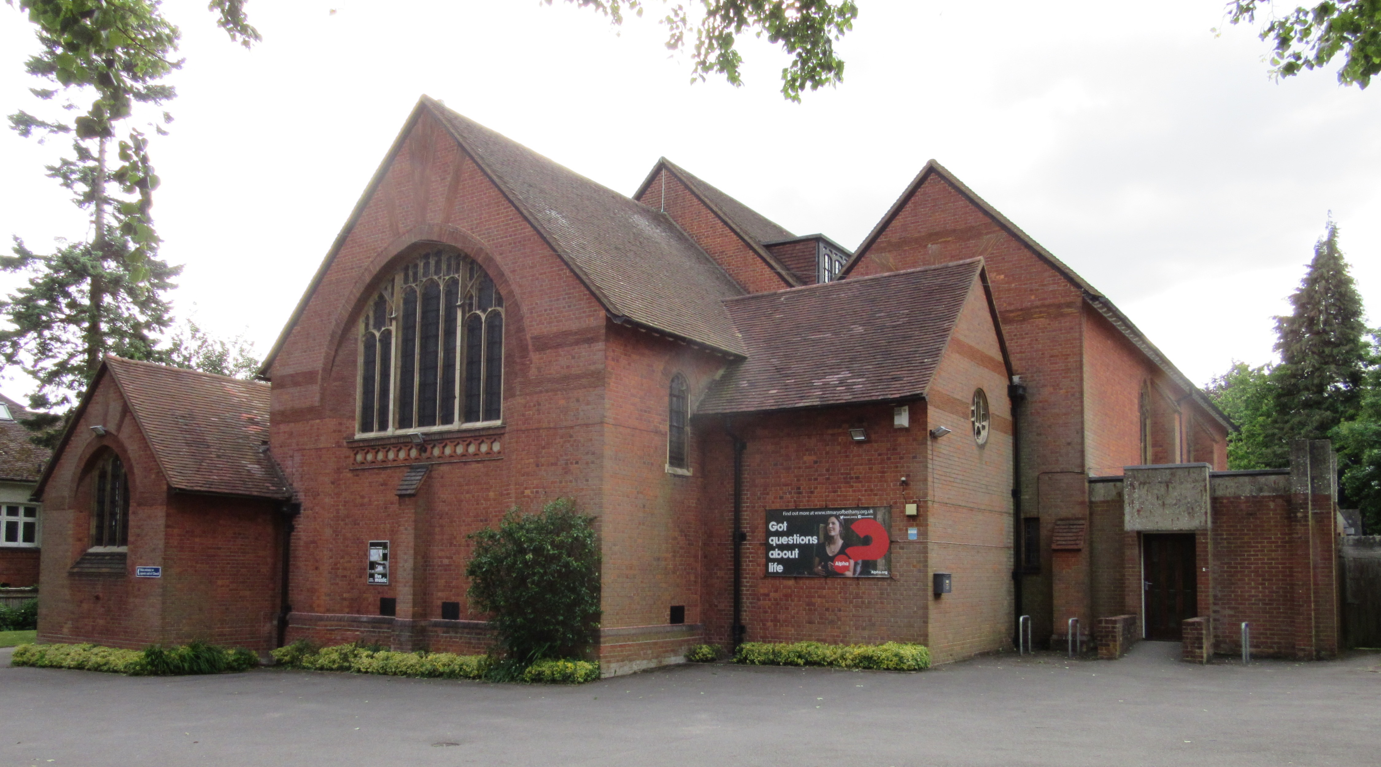
St Mary of Bethany Church
St Mary of Bethany Church is located in Woking, England. The church is in the Diocese of Guildford. == History == St Mary of Bethany Church was founded...

Surrey History Centre
Surrey History Centre in Woking, Surrey, England, collects and rescues archives and printed materials relating to Surrey's past and present. == Building... ==
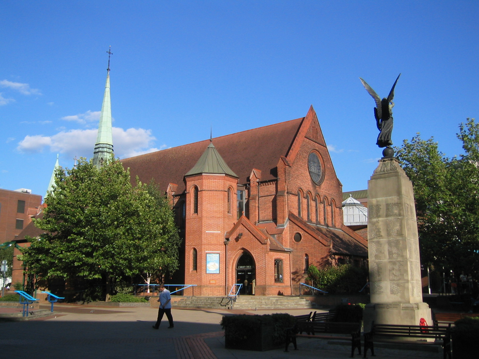
Christ Church, Woking
Christ Church is located in Woking, England. The church is in the Diocese of Guildford. == History == In the 1870s, Woking's population was growing rapidly...
Nearby Amenities
Located within 500m of 51.314813,-0.56176648Have you been to Mount Hermon?
Leave your review of Mount Hermon below (or comments, questions and feedback).