Cooper's Hill Coppice
Wood, Forest in Surrey Runnymede
England
Cooper's Hill Coppice

Cooper's Hill Coppice is a picturesque woodland located in Surrey, England. Spanning over a vast area of land, it offers a diverse range of flora and fauna, making it a popular destination for nature enthusiasts and hikers alike.
The woodland is primarily composed of various species of deciduous trees, such as oak, beech, and birch, which create a stunning canopy of foliage during the warmer months. The forest floor is adorned with a rich carpet of bluebells, wild garlic, and ferns, adding to the enchanting atmosphere of the woodland.
Cooper's Hill Coppice is home to a plethora of wildlife, including deer, foxes, badgers, and a wide variety of bird species. Birdwatchers can spot woodpeckers, owls, and various songbirds, while the occasional sighting of a red kite soaring above the treetops is not uncommon.
Traversing the woodland, visitors will find a network of well-maintained footpaths that lead to breathtaking viewpoints, providing panoramic vistas of the surrounding countryside. One such viewpoint offers a stunning vista of the River Thames snaking its way through the valley below.
The woodland is also known for its historical significance. It is believed that Cooper's Hill Coppice was once used as a source for timber during the construction of nearby Windsor Castle. The remnants of old charcoal pits can still be found scattered throughout the woodland, serving as a reminder of its past.
Overall, Cooper's Hill Coppice is a natural oasis that offers a tranquil escape from the hustle and bustle of everyday life. Its beauty, biodiversity, and rich history make it a cherished destination for locals and visitors alike.
If you have any feedback on the listing, please let us know in the comments section below.
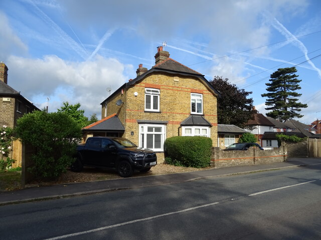
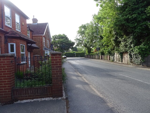
Cooper's Hill Coppice Images
Images are sourced within 2km of 51.437966/-0.56131201 or Grid Reference TQ0071. Thanks to Geograph Open Source API. All images are credited.


Cooper's Hill Coppice is located at Grid Ref: TQ0071 (Lat: 51.437966, Lng: -0.56131201)
Administrative County: Surrey
District: Runnymede
Police Authority: Surrey
What 3 Words
///slip.powder.range. Near Egham, Surrey
Nearby Locations
Related Wikis

Langham Pond
Langham Pond is a 26.7-hectare (66-acre) biological Site of Special Scientific Interest north of Egham in Surrey.The pond and its surrounding alluvial...

Air Forces Memorial
The Air Forces Memorial, or Runnymede Memorial, in Englefield Green, near Egham, Surrey, England is a memorial dedicated to some 20,456 men and women from...

Englefield Green Rovers F.C.
Englefield Green Rovers F.C. was a football club based in Englefield Green, near Egham, England. They were members of the Surrey FA. == History == Englefield...

Royal Indian Engineering College
The Royal Indian Engineering College (or RIEC) was a British college of Civil Engineering run by the India Office to train civil engineers for service...
Nearby Amenities
Located within 500m of 51.437966,-0.56131201Have you been to Cooper's Hill Coppice?
Leave your review of Cooper's Hill Coppice below (or comments, questions and feedback).