Ashton's Green
Settlement in Lancashire
England
Ashton's Green
Ashton's Green is a small village located in Lancashire, England. It is situated approximately 5 miles southeast of the city of Preston and falls within the administrative boundaries of the borough of Chorley. The village is surrounded by picturesque countryside, offering a tranquil and rural setting for its residents.
The village boasts a rich history, with evidence of human habitation dating back to Roman times. Ashton's Green is known for its agricultural heritage, with many farms and fields in the surrounding area. The village is characterized by charming cottages and traditional stone buildings, adding to its quaint and idyllic appeal.
Despite its small size, Ashton's Green offers a few essential amenities to its residents. These include a local pub, a post office, and a primary school, providing a sense of community within the village. Additionally, the nearby city of Preston offers a wider range of services and facilities, including shopping centers, healthcare facilities, and educational institutions.
The village is well-connected to the surrounding areas, with good transport links. The M6 motorway is easily accessible, providing convenient access to major cities such as Manchester and Liverpool. Public transportation options include regular bus services, ensuring connectivity to nearby towns and villages.
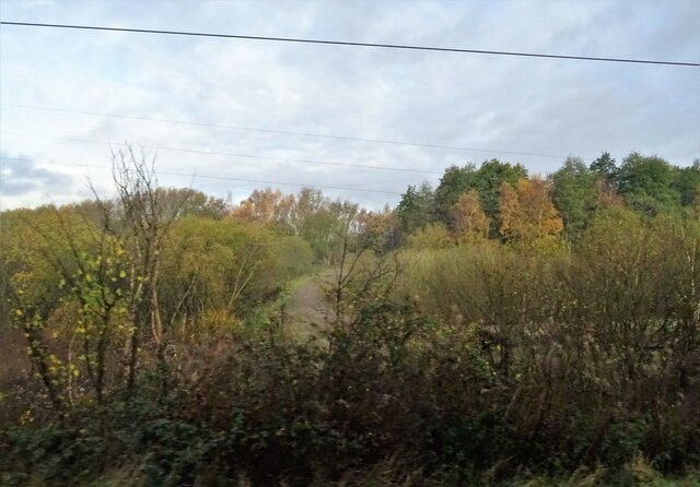
Ashton's Green is surrounded by beautiful natural landscapes, making it an ideal location for outdoor enthusiasts. The village is in close proximity to several nature reserves and parks, offering opportunities for hiking, cycling, and wildlife spotting.
Overall, Ashton's Green is a charming and peaceful village, providing a rural lifestyle while still offering easy access to nearby urban centers.
If you have any feedback on the listing, please let us know in the comments section below.
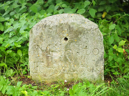
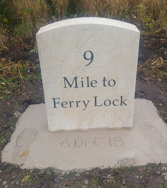
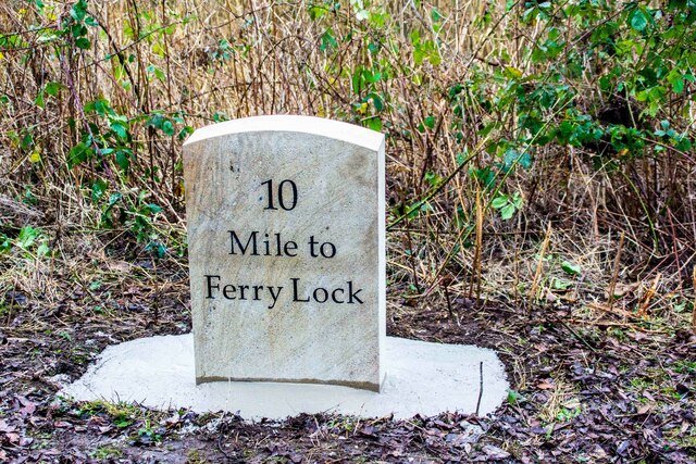
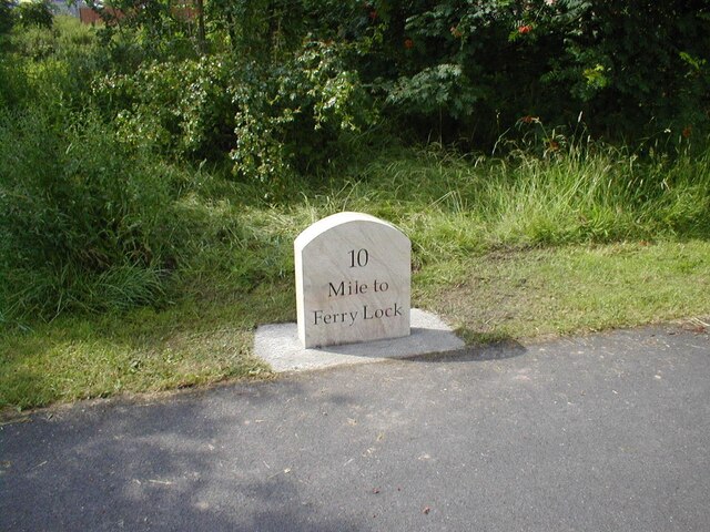
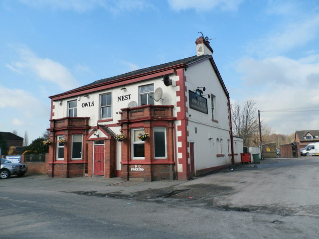
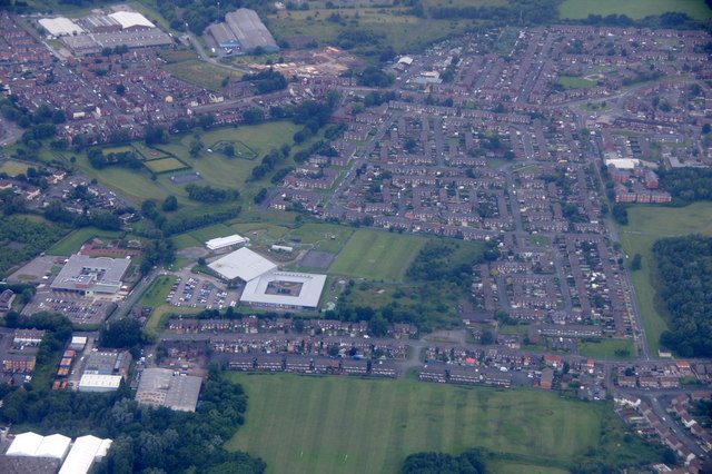
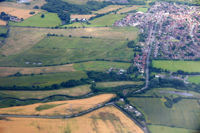
Ashton's Green Images
Images are sourced within 2km of 53.453364/-2.688164 or Grid Reference SJ5495. Thanks to Geograph Open Source API. All images are credited.


Ashton's Green is located at Grid Ref: SJ5495 (Lat: 53.453364, Lng: -2.688164)
Unitary Authority: St. Helens
Police Authority: Merseyside
What 3 Words
///shortage.plodded.saved. Near Haydock, Merseyside
Nearby Locations
Related Wikis
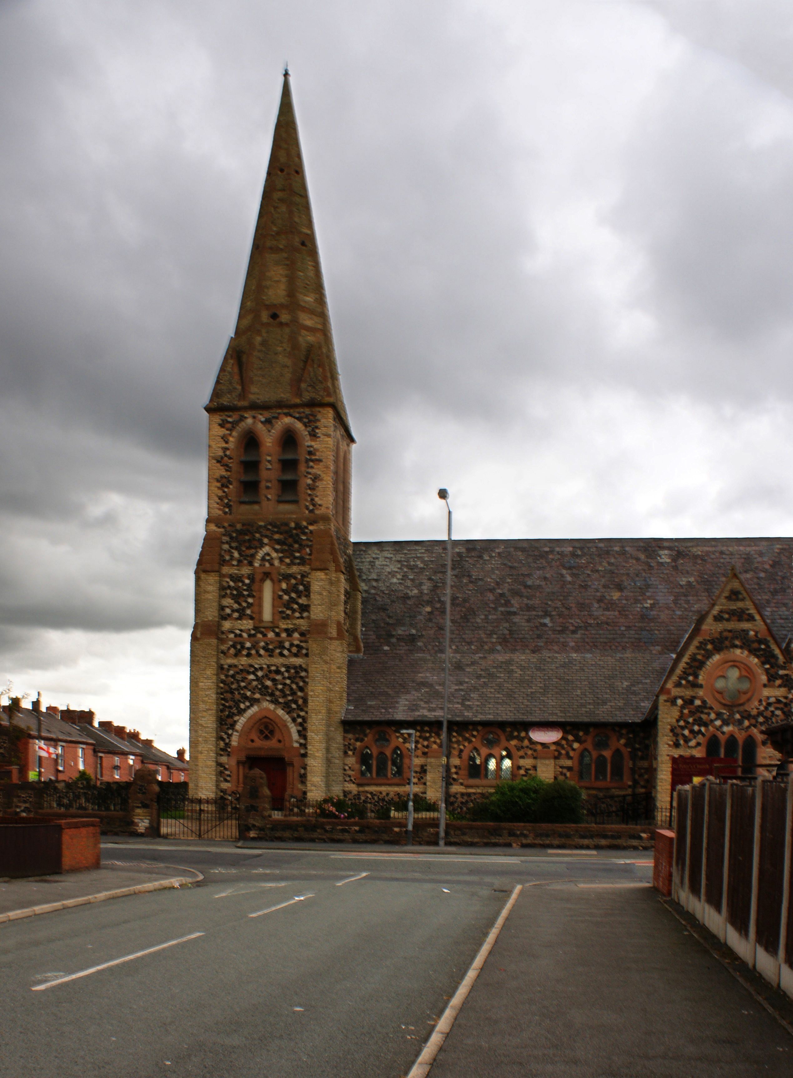
St Peter's Church, Parr
St Peter's Church, Parr, is in Broad Oak Road, Parr, St Helens, Merseyside, England. It is an active Anglican parish church in the deanery of St Helens...

St Augustine of Canterbury Catholic Academy
St Augustine of Canterbury Catholic Academy (formerly St Augustine of Canterbury Catholic High School) is a Roman Catholic coeducational secondary school...
St Cuthbert's Catholic High School
St Cuthbert's Catholic High School is a Roman Catholic mixed secondary school situated in St Helens, Merseyside, England. == History == Built-in 1957,...
Outwood Academy Haydock
Outwood Academy Haydock (formerly Haydock Secondary Modern School and then Haydock High School) is a coeducational secondary school located in Haydock...
Nearby Amenities
Located within 500m of 53.453364,-2.688164Have you been to Ashton's Green?
Leave your review of Ashton's Green below (or comments, questions and feedback).