Ashton-in-Makerfield

Settlement in Lancashire

England

Ashton-in-Makerfield

Mast by railway
Mast by railway Credit: N Chadwick

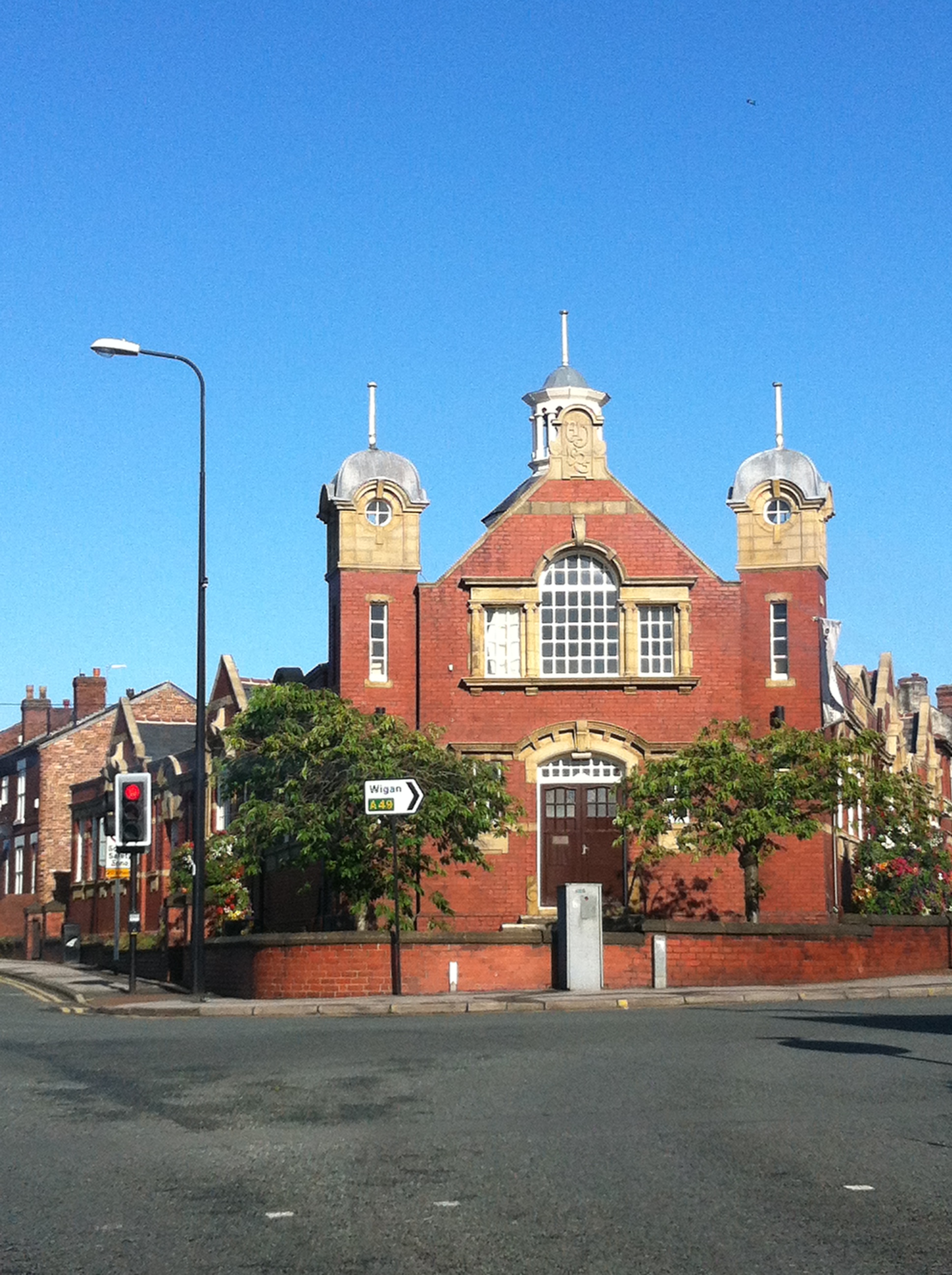
Ashton-in-Makerfield is a town located in the Metropolitan Borough of Wigan, within the county of Lancashire, in the northwest of England. It is positioned approximately 4 miles south of Wigan town center and 11 miles west of Manchester. With a population of around 28,000 people, Ashton-in-Makerfield is a thriving community that offers a mix of residential, commercial, and industrial areas.

Historically, Ashton-in-Makerfield was known for its coal mining and cotton industry, contributing significantly to the region's growth during the Industrial Revolution. Today, the town retains some of its industrial heritage, with several factories and warehouses still in operation.

The town center of Ashton-in-Makerfield features a range of amenities, including supermarkets, local shops, pubs, and restaurants, providing residents with easy access to everyday necessities. The town also has a community library, parks, and recreational facilities, ensuring there are opportunities for leisure and relaxation.

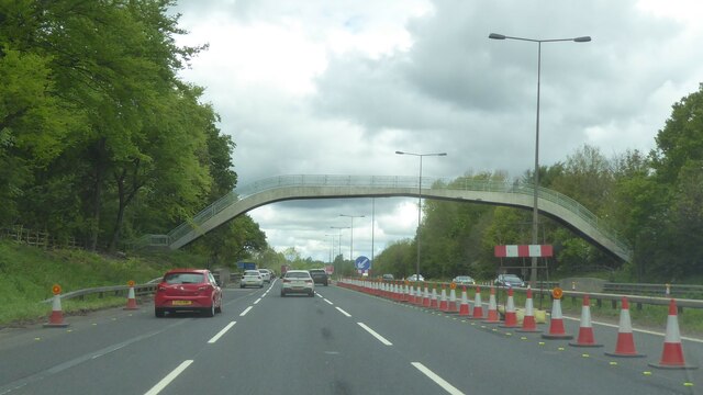
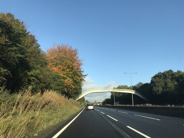
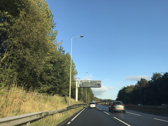
Ashton-in-Makerfield is well-connected to neighboring towns and cities through a comprehensive transportation network. The town has a railway station that offers regular services to Manchester, Wigan, and other nearby locations. Additionally, several major roads, including the A580 East Lancashire Road, pass through the area, providing convenient access to the wider region.

Surrounded by picturesque countryside, Ashton-in-Makerfield offers residents the opportunity to enjoy outdoor activities. The nearby Haydock Park Racecourse and Three Sisters Recreation Area are popular destinations for horse racing enthusiasts and motorsport fans. The town also benefits from its proximity to the larger cities of Manchester and Liverpool, where a wider range of entertainment, cultural, and employment opportunities can be found.

Overall, Ashton-in-Makerfield is a vibrant town with a rich history, offering its residents a combination of urban amenities and natural beauty.

If you have any feedback on the listing, please let us know in the comments section below.

Ashton-in-Makerfield Images

Images are sourced within 2km of 53.487882/-2.622408 or Grid Reference SJ5899. Thanks to Geograph Open Source API. All images are credited.

Mast by railway
Mast by railway
Footbridge over M6
Footbridge over M6
Signage  - M6 northbound
Signage - M6 northbound
Footbridge  - M6 northbound
Footbridge - M6 northbound
Matrix board  - northbound M6
Matrix board - northbound M6
Cycle rack, Gerard Street,  Ashton-in-Makerfield Neatly designed to resemble penny-farthing bicycles.
Cycle rack, Gerard Street, Ashton-in-Makerfield
Neatly designed to resemble penny-farthing bicycles.
Time for a quick one Recreating this 'First' for the square <a title="https://www.geograph.org.uk/photo/83143" href="https://www.geograph.org.uk/photo/83143">Link</a>.

The main change is the price of fuel!
Time for a quick one
Recreating this 'First' for the square Link. The main change is the price of fuel!
Cross Keys Inn, Ashton-in-Makerfield An attractive red brick and terracotta pub, dated 1904.
Cross Keys Inn, Ashton-in-Makerfield
An attractive red brick and terracotta pub, dated 1904.
Carnegie Library and Lecture Hall, Ashton-in-Makerfield Built in 1905-6 to a design by the architects J B & W Thornely. The lecture hall was later converted to a children's library. Listed Grade II.
Carnegie Library and Lecture Hall, Ashton-in-Makerfield
Built in 1905-6 to a design by the architects J B & W Thornely. The lecture hall was later converted to a children's library. Listed Grade II.
Carnegie Library and Lecture Hall, Ashton-in-Makerfield – detail Built in 1905-6 to a design by the architects J B & W Thornely. The lecture hall was later converted to a children's library. Listed Grade II.
Carnegie Library and Lecture Hall, Ashton-in-Makerfield – detail
Built in 1905-6 to a design by the architects J B & W Thornely. The lecture hall was later converted to a children's library. Listed Grade II.
Old signage on the former Palace Cinema Opened in 1910 as the Royal Picture Palace, renamed The Palace in 1938 and closed in 1966, see <a title="https://www.geograph.org.uk/photo/7517571" href="https://www.geograph.org.uk/photo/7517571">Link</a>. The sign advertises twice nightly screenings with matinees on Monday, Thursday and Saturday.
Old signage on the former Palace Cinema
Opened in 1910 as the Royal Picture Palace, renamed The Palace in 1938 and closed in 1966, see Link. The sign advertises twice nightly screenings with matinees on Monday, Thursday and Saturday.
Palace Arcade, Ashton-in-Makerfield A new facade to what was the Palace Cinema, opened in 1910 which is reflected in the name of the cafe to the left.
Palace Arcade, Ashton-in-Makerfield
A new facade to what was the Palace Cinema, opened in 1910 which is reflected in the name of the cafe to the left.
Former Co-operative store and hall, Ashton-in-Makerfield Typical large town centre retail premises with hall over. Probably early 20th century. The gables are likely to have been more ornate than when built; there does appear to be a 'tide mark' in the brickwork of the large one. The upper floors appear to have been converted to flats.
Former Co-operative store and hall, Ashton-in-Makerfield
Typical large town centre retail premises with hall over. Probably early 20th century. The gables are likely to have been more ornate than when built; there does appear to be a 'tide mark' in the brickwork of the large one. The upper floors appear to have been converted to flats.
Former Co-operative hall entrance, Ashton-in-Makerfield Classic red terracotta. See <a title="https://www.geograph.org.uk/photo/7517591" href="https://www.geograph.org.uk/photo/7517591">Link</a> for location.
Former Co-operative hall entrance, Ashton-in-Makerfield
Classic red terracotta. See Link for location.
Former police station, Warrington Street, Ashton-in-Makerfield Opened in 1879, it was replaced in 1904 as a station and used for police accommodation. Now converted to apartments.
Former police station, Warrington Street, Ashton-in-Makerfield
Opened in 1879, it was replaced in 1904 as a station and used for police accommodation. Now converted to apartments.
Ashton-in-Makerfield, St Thomas Recreating this 'First' for the square <a title="https://www.geograph.org.uk/photo/48761" href="https://www.geograph.org.uk/photo/48761">Link</a>

The church was rebuilt in 1892-3 replacing a 1714 rebuild of a medieval chapel of ease. Listed Grade II.
Ashton-in-Makerfield, St Thomas
Recreating this 'First' for the square Link The church was rebuilt in 1892-3 replacing a 1714 rebuild of a medieval chapel of ease. Listed Grade II.
Gravestone, St Thomas's churchyard, Ashton-in-Makerfield Dated 1774 with the unusual inscription 'Their two breadths'. This apparently relates to the purchase of a burial plot wide enough to place two coffins side by side
Gravestone, St Thomas's churchyard, Ashton-in-Makerfield
Dated 1774 with the unusual inscription 'Their two breadths'. This apparently relates to the purchase of a burial plot wide enough to place two coffins side by side
The Commercial Hotel, Heath Road, Ashton-in-Makerfield Red brick and terracotta pub, built 1901.
The Commercial Hotel, Heath Road, Ashton-in-Makerfield
Red brick and terracotta pub, built 1901.
Show me another place!

Ashton-in-Makerfield is located at Grid Ref: SJ5899 (Lat: 53.487882, Lng: -2.622408)

Unitary Authority: Wigan

Police Authority: Greater Manchester

What 3 Words

///shady.bleak.ankle. Near Ashton in Makerfield, Manchester

Related Wikis

Ashton Town F.C.

Ashton Town Football Club is a football club based in Ashton-in-Makerfield, Greater Manchester, England. The club are currently members of the North West...

Haydock Park railway station

Haydock Park railway station was a railway station adjacent to Haydock Park Racecourse, formerly in Lancashire and now in Merseyside, England. The station...

St Thomas' Church, Ashton-in-Makerfield

St Thomas' Church is in Warrington Road, Ashton-in-Makerfield, Greater Manchester, England. It is an active Anglican parish church in the deanery of Wigan...

Ashton-in-Makerfield

Ashton-in-Makerfield is a market town in the Metropolitan Borough of Wigan, Greater Manchester, England, 4 miles (6.4 km) south of Wigan. As of the 2021...

Nearby Amenities

Located within 500m of 53.487882,-2.622408
Bus Stop
Golborne Road/Nursery Terrace
Bench: no
Bus: yes
Naptan AtcoCode: 1800WK38891
Naptan Bearing: SE
Naptan CommonName: Golborne Road/Nursery Terrace
Naptan Indicator: Field
Naptan Landmark: FIELD
Naptan NaptanCode: mantdmpj
Naptan PlusbusZoneRef: MNCRPIC
Naptan ShortCommonName: Nursery Terrace
Naptan Street: GOLBORNE ROAD
Naptan Verified: no
Network: TfGM
Public Transport: platform
Shelter: no
Source: naptan_import
Lat/Long: 53.4905066/-2.6167754
Bus Stop
Golborne Road/Nursery Terrace
Bench: no
Bus: yes
Naptan AtcoCode: 1800WK38901
Naptan Bearing: NW
Naptan CommonName: Golborne Road/Nursery Terrace
Naptan Indicator: Nr House 160
Naptan Landmark: HOUSE 164
Naptan NaptanCode: mantdmpm
Naptan PlusbusZoneRef: MNCRPIC
Naptan ShortCommonName: Nursery Terrace
Naptan Street: GOLBORNE ROAD
Naptan Verified: no
Network: TfGM
Public Transport: platform
Shelter: no
Source: naptan_import
Lat/Long: 53.4906405/-2.6171967
Turning Circle
Lat/Long: 53.490712/-2.6217262
Turning Circle
Lat/Long: 53.4906097/-2.6217837
Generator Method: photovoltaic
Generator Output Electricity: yes
Generator Source: solar
Generator Type: solar_photovoltaic_panel
Location: roof
Power: generator
Lat/Long: 53.4873146/-2.623316
Generator Method: photovoltaic
Generator Output Electricity: yes
Generator Source: solar
Generator Type: solar_photovoltaic_panel
Location: roof
Power: generator
Lat/Long: 53.4882503/-2.6286964
Generator Method: photovoltaic
Generator Output Electricity: yes
Generator Source: solar
Generator Type: solar_photovoltaic_panel
Location: roof
Power: generator
Lat/Long: 53.4874399/-2.6292161
Turning Circle
Lat/Long: 53.491436/-2.6201259
Turning Circle
Lat/Long: 53.4913367/-2.6201323
Generator Method: photovoltaic
Generator Output Electricity: yes
Generator Source: solar
Generator Type: solar_photovoltaic_panel
Power: generator
Lat/Long: 53.4878933/-2.6257201
Generator Method: photovoltaic
Generator Output Electricity: yes
Generator Source: solar
Generator Type: solar_photovoltaic_panel
Power: generator
Lat/Long: 53.4882643/-2.6264934
Generator Method: photovoltaic
Generator Output Electricity: yes
Generator Source: solar
Generator Type: solar_photovoltaic_panel
Power: generator
Lat/Long: 53.4904/-2.6258405
Generator Method: photovoltaic
Generator Output Electricity: yes
Generator Source: solar
Generator Type: solar_photovoltaic_panel
Power: generator
Lat/Long: 53.4903167/-2.6263803
Generator Method: photovoltaic
Generator Output Electricity: yes
Generator Source: solar
Generator Type: solar_photovoltaic_panel
Power: generator
Lat/Long: 53.49018/-2.6267875
Generator Method: photovoltaic
Generator Output Electricity: yes
Generator Source: solar
Generator Type: solar_photovoltaic_panel
Power: generator
Lat/Long: 53.491608/-2.6233746
Post Box
Operator: Royal Mail
Operator Wikidata: Q638098
Post Box Type: pillar
Ref: WN4 25
Royal Cypher: EIIR
Lat/Long: 53.4915506/-2.6210153
Old smallpox hospital site
Historic: archaeological_site
Lat/Long: 53.4882492/-2.6187268
Town Green
Place: suburb
Lat/Long: 53.4912442/-2.6267024
Waste Basket
Lat/Long: 53.4907047/-2.6252318
Waste Basket
Lat/Long: 53.4915518/-2.6205498
Addr City: Ashton-in-Makerfield
Addr Housenumber: 167
Addr Street: Princess Road
Lat/Long: 53.4865492/-2.6292922
Generator Method: photovoltaic
Generator Output Electricity: yes
Generator Source: solar
Generator Type: solar_photovoltaic_panel
Location: roof
Power: generator
Lat/Long: 53.4885717/-2.6291833
Barrier: bollard
Lat/Long: 53.4885437/-2.6269732
Addr Housenumber: 166
Addr Street: Golborne Road
Lat/Long: 53.4905966/-2.6172733
Addr City: Ashton-in-Makerfield
Addr Housenumber: 168
Addr Street: Golborne Road
Lat/Long: 53.4906388/-2.6173465
Addr City: Ashton-in-Makerfield
Addr Housenumber: 166
Addr Street: Golborne Road
Lat/Long: 53.4905592/-2.6172081
Generator Method: photovoltaic
Generator Output Electricity: yes
Generator Source: solar
Generator Type: solar_photovoltaic_panel
Location: roof
Power: generator
Lat/Long: 53.4874457/-2.6292824
Addr City: Ashton-in-Makerfield
Addr Housenumber: 75
Addr Street: Wotton Drive
Lat/Long: 53.4900934/-2.6241787
Addr City: Ashton-in-Makerfield
Addr Housenumber: 169
Addr Street: Princess Road
Lat/Long: 53.4865269/-2.6289327
The data included in this document is from www.openstreetmap.org. The data is made available under ODbL.

Have you been to Ashton-in-Makerfield?

Leave your review of Ashton-in-Makerfield below (or comments, questions and feedback).