Ashton Vale

Settlement in Somerset

England

Ashton Vale

Zlatíčko, Ashton Court Zlatíčko (Slovak for "sweetheart" and Czech for "honey", which are more or less the same thing) is a sculpture by Cjay Roughgarden, to be found southwest of the building. It is made of powder-coated laser cut steel. Something of a family photo - my niece can be seen in the distance wearing a white jumper.
Zlatíčko, Ashton Court Credit: Derek Harper

Ashton Vale is a small village located in Somerset, England. Situated approximately 3 miles southwest of the city of Bristol, it is nestled in the beautiful countryside of the South West region. With a population of around 2,000 residents, Ashton Vale maintains a close-knit community atmosphere.

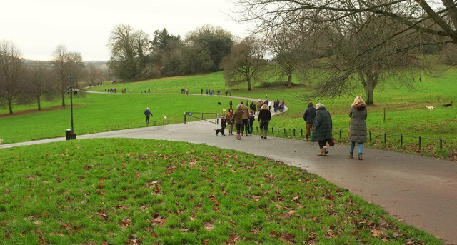
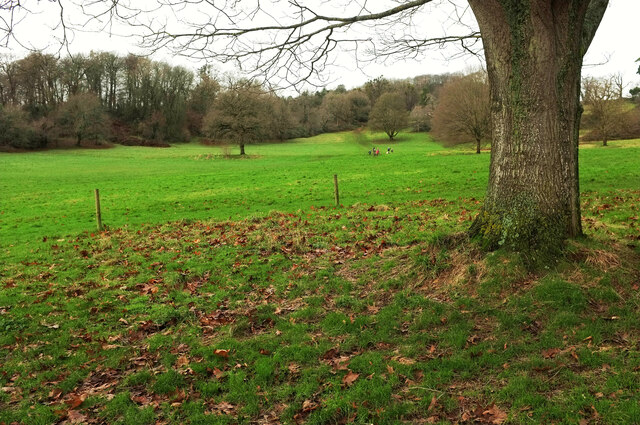
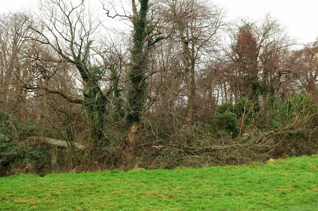
The village is known for its picturesque surroundings, boasting rolling hills, lush green fields, and scenic views of the nearby Avon Gorge. It is an ideal location for nature enthusiasts, providing ample opportunities for countryside walks and outdoor activities.

Despite its rural charm, Ashton Vale benefits from its close proximity to Bristol, offering convenient access to the city's amenities and employment opportunities. The village is well-connected to Bristol via road networks, with the A370 providing a direct route into the city center.

Ashton Vale is also famous for being home to the Ashton Gate Stadium, a renowned sporting venue primarily used for football and rugby matches. The stadium, which underwent major redevelopment in recent years, has a capacity of over 27,000 spectators and hosts various sporting events and concerts throughout the year.

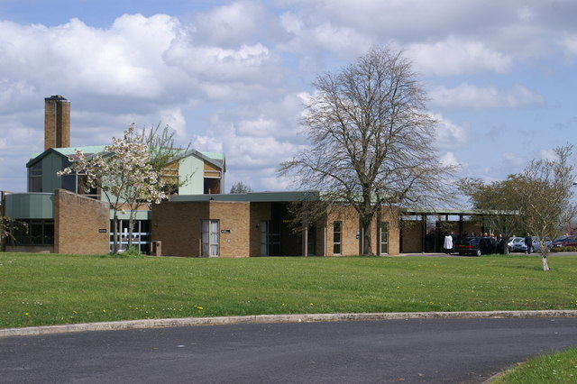
In terms of amenities, Ashton Vale has a primary school, a pub, and a community center that serves as a hub for local events and activities. Additionally, the village has a small number of shops and services to cater to the needs of its residents.

Overall, Ashton Vale offers a tranquil and idyllic setting for those seeking a peaceful village lifestyle, while still enjoying the advantages of being close to a vibrant city.

If you have any feedback on the listing, please let us know in the comments section below.
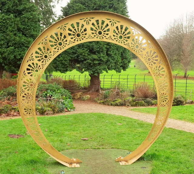
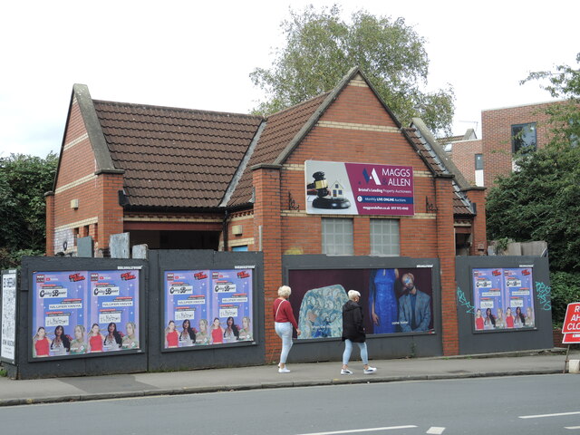
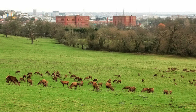
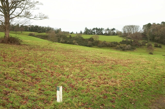
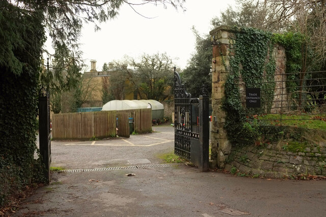
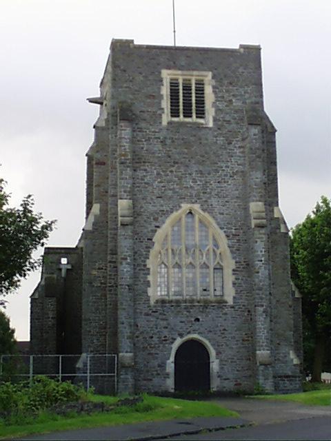
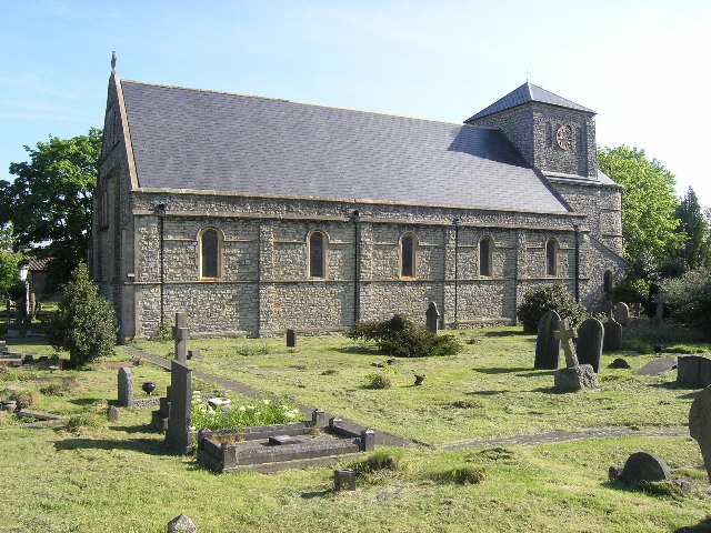
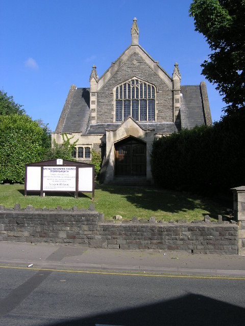
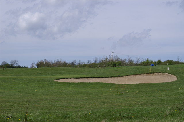
Ashton Vale Images

Images are sourced within 2km of 51.431623/-2.6255562 or Grid Reference ST5670. Thanks to Geograph Open Source API. All images are credited.

Zlatíčko, Ashton Court Zlatíčko (Slovak for "sweetheart" and Czech for "honey", which are more or less the same thing) is a sculpture by Cjay Roughgarden, to be found southwest of the building. It is made of powder-coated laser cut steel. Something of a family photo - my niece can be seen in the distance wearing a white jumper.
Zlatíčko, Ashton Court
Zlatíčko (Slovak for "sweetheart" and Czech for "honey", which are more or less the same thing) is a sculpture by Cjay Roughgarden, to be found southwest of the building. It is made of powder-coated laser cut steel. Something of a family photo - my niece can be seen in the distance wearing a white jumper.
Toilet under the hammer? The disused public conveniences on Cannon Street have been closed for a good few years but recent activity has brought hoardings. The big advert on the block appears to infer the site is up for auction. Who would buy it - and then demolish it for new housing?
Toilet under the hammer?
The disused public conveniences on Cannon Street have been closed for a good few years but recent activity has brought hoardings. The big advert on the block appears to infer the site is up for auction. Who would buy it - and then demolish it for new housing?
Red deer, Ashton Court An identical view to taken over 14 years ago, but on a gloomy Boxing Day instead of a sunny day in late spring - when I wasn't that far away, staying in Lacock and getting attacked by a ram. Still, at least it wasn't a red deer.  The park is Grade II* listed <span class="nowrap"><a title="https://historicengland.org.uk/listing/the-list/list-entry/1000560?section=official-list-entry" rel="nofollow ugc noopener" href="https://historicengland.org.uk/listing/the-list/list-entry/1000560?section=official-list-entry">Link</a><img style="margin-left:2px;" alt="External link" title="External link - shift click to open in new window" src="https://s1.geograph.org.uk/img/external.png" width="10" height="10"/></span> . The Community Forest Path passes by.
Red deer, Ashton Court
An identical view to taken over 14 years ago, but on a gloomy Boxing Day instead of a sunny day in late spring - when I wasn't that far away, staying in Lacock and getting attacked by a ram. Still, at least it wasn't a red deer. The park is Grade II* listed LinkExternal link . The Community Forest Path passes by.
Hillside, Ashton Court Estate Looking left from <a href="https://www.geograph.org.uk/photo/7680861">ST5672 : Red deer, Ashton Court</a>, with strategically placed trees and woods; that on the right is Rownham Plantation. The Community Forest Path passes by.  The park is Grade II* listed <span class="nowrap"><a title="https://historicengland.org.uk/listing/the-list/list-entry/1000560?section=official-list-entry" rel="nofollow ugc noopener" href="https://historicengland.org.uk/listing/the-list/list-entry/1000560?section=official-list-entry">Link</a><img style="margin-left:2px;" alt="External link" title="External link - shift click to open in new window" src="https://s1.geograph.org.uk/img/external.png" width="10" height="10"/></span> .
Hillside, Ashton Court Estate
Looking left from ST5672 : Red deer, Ashton Court, with strategically placed trees and woods; that on the right is Rownham Plantation. The Community Forest Path passes by. The park is Grade II* listed LinkExternal link .
Trade entrance, Ashton Court With bin store and polytunnel.
Trade entrance, Ashton Court
With bin store and polytunnel.
Boxing Day at Ashton Court Plenty of visitors out for a post-feast walk.  The park is Grade II* listed <span class="nowrap"><a title="https://historicengland.org.uk/listing/the-list/list-entry/1000560?section=official-list-entry" rel="nofollow ugc noopener" href="https://historicengland.org.uk/listing/the-list/list-entry/1000560?section=official-list-entry">Link</a><img style="margin-left:2px;" alt="External link" title="External link - shift click to open in new window" src="https://s1.geograph.org.uk/img/external.png" width="10" height="10"/></span> .
Boxing Day at Ashton Court
Plenty of visitors out for a post-feast walk. The park is Grade II* listed LinkExternal link .
The Goram, Ashton Court Estate "The Goram is the name of this lawn which is marked out by a three‑sided square of chestnut trees and pre‑dates the carefully designed 18th century landscape" <span class="nowrap"><a title="https://www.bristol.gov.uk/files/documents/4811-ashton-court-woodland-walks" rel="nofollow ugc noopener" href="https://www.bristol.gov.uk/files/documents/4811-ashton-court-woodland-walks">Link</a><img style="margin-left:2px;" alt="External link" title="External link - shift click to open in new window" src="https://s1.geograph.org.uk/img/external.png" width="10" height="10"/></span> . On the left is Ashton Court Plantation. The park is Grade II* listed <span class="nowrap"><a title="https://historicengland.org.uk/listing/the-list/list-entry/1000560?section=official-list-entry" rel="nofollow ugc noopener" href="https://historicengland.org.uk/listing/the-list/list-entry/1000560?section=official-list-entry">Link</a><img style="margin-left:2px;" alt="External link" title="External link - shift click to open in new window" src="https://s1.geograph.org.uk/img/external.png" width="10" height="10"/></span> .
The Goram, Ashton Court Estate
"The Goram is the name of this lawn which is marked out by a three‑sided square of chestnut trees and pre‑dates the carefully designed 18th century landscape" LinkExternal link . On the left is Ashton Court Plantation. The park is Grade II* listed LinkExternal link .
Fallen tree, Ashton Court Plantation Seen from the Deer Trail.
Fallen tree, Ashton Court Plantation
Seen from the Deer Trail.
Bedminster Down, Bristol, St Oswald's Church
Bishopsworth, Bristol, St Peter's Church
Bishopsworth, Bristol, United Reformed Church
The hamlet of Yanley Taken from A370 'Long Ashton Bypass'
The hamlet of Yanley
Taken from A370 'Long Ashton Bypass'
Wood Spring Golf Course
South Bristol Crematorium
South Bristol Crematorium A view from above.
South Bristol Crematorium
A view from above.
Grazing meadows adjacent to a public footpath
Colliter's Brook in Yanley Lane Here flowing out of the Golf Course and under Yanley Lane.
Colliter's Brook in Yanley Lane
Here flowing out of the Golf Course and under Yanley Lane.
Woodspring Golf Course adjacent to Yanley Lane
Show me another place!

Ashton Vale is located at Grid Ref: ST5670 (Lat: 51.431623, Lng: -2.6255562)

Unitary Authority: Bristol

Police Authority: Avon and Somerset

What 3 Words

///crate.wounds.fried. Near Bishopsworth, Bristol

Nearby Locations

Ashton Vale

Related Wikis

Ashton Vale

Ashton Vale is a suburb located in the Bedminster ward of Bristol, United Kingdom.It Is located in the very south-western edge of the city. Ashton Vale...

Bristol City Stadium

The Bristol City Stadium (tentative name) was a proposed football stadium, announced in November 2007, which would be built on land at Ashton Vale, Bristol...

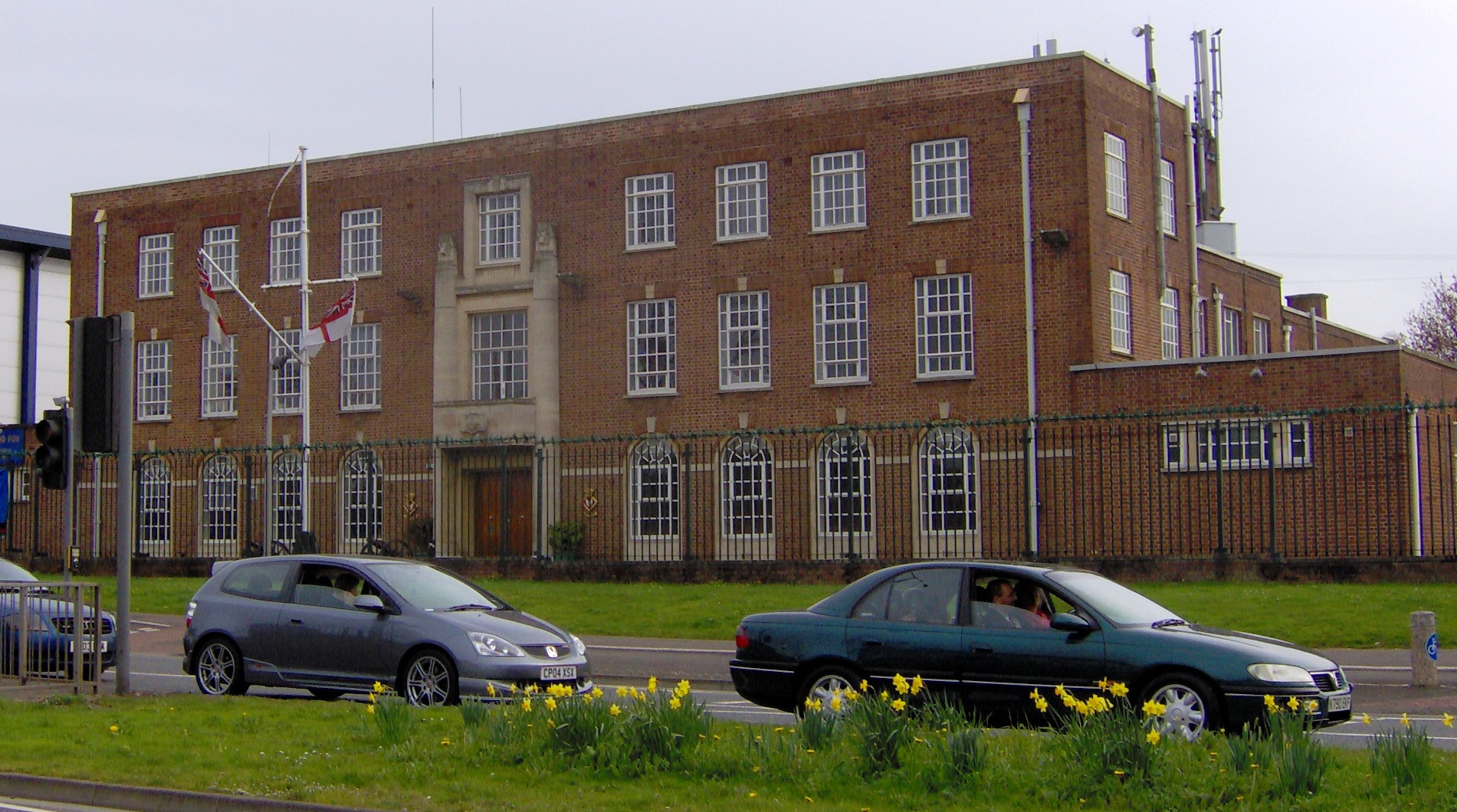
HMS Flying Fox (shore establishment)

HMS Flying Fox is a Royal Naval Reserve unit located in Bristol, England. Training over 100 reservists on Thursday evenings in Bristol, Flying Fox serves...

The Breeze (Frome & West Wiltshire)

Greatest Hits Radio Somerset (West Somerset) is an Independent Local Radio station serving Warminster, Westbury / Trowbridge in West Wiltshire / Frome...

Ashton Gate (stadium)

Ashton Gate is a multi-use stadium in Ashton Gate, Bristol, England, and is the home of Bristol City football club and the Bristol Bears rugby union team...
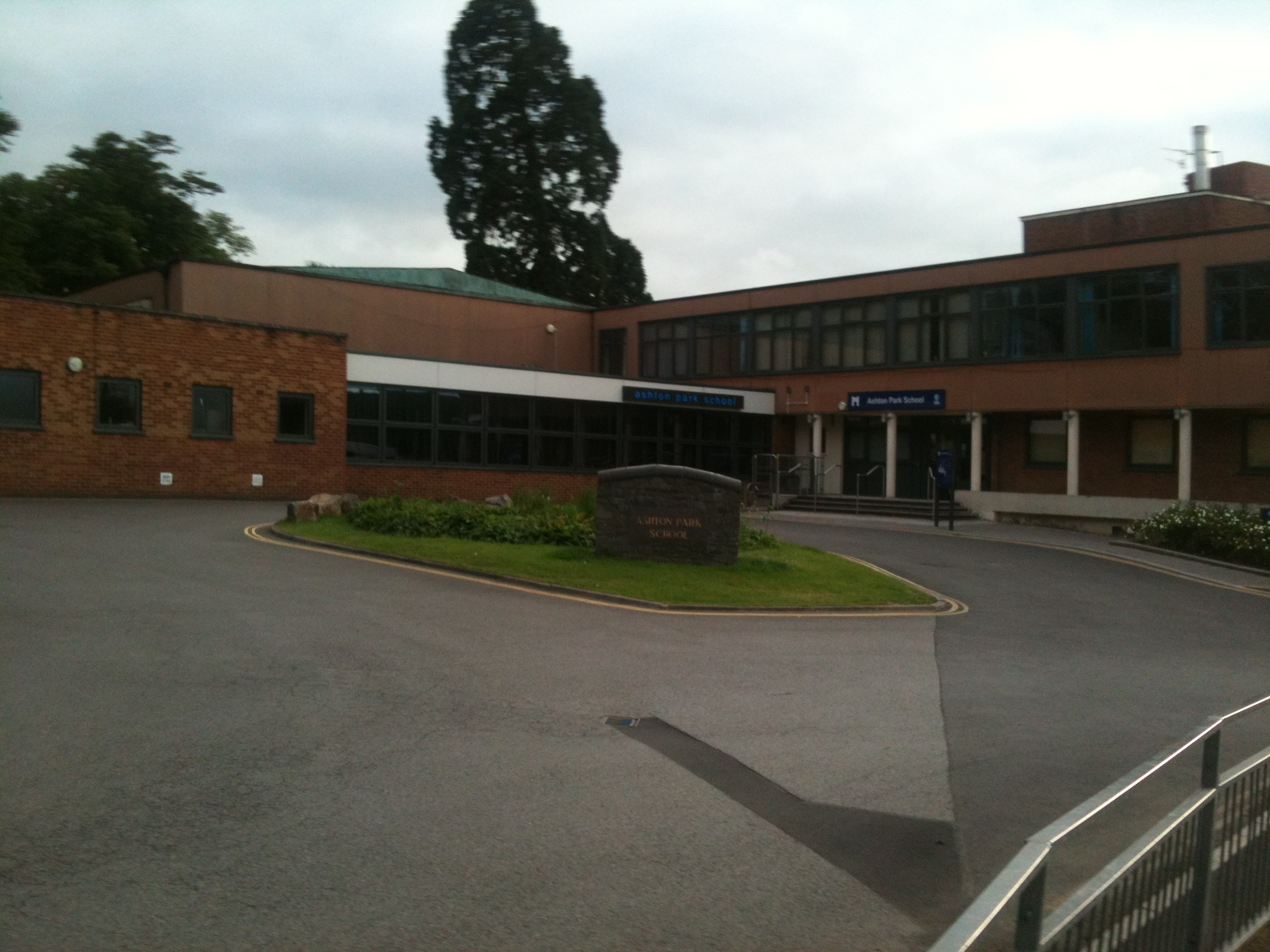
Ashton Park School

Ashton Park School is a coeducational secondary school and sixth form located in the Bower Ashton area of Bristol, England. == History == The school opened...

Ashton Gate, Bristol

Ashton Gate is a suburb of Bristol, United Kingdom, in the Southville ward of Bristol City Council. A toll house at the western end of North Street still...

Ashton Gate railway station

Ashton Gate railway station was a railway station serving the Ashton Gate area of Bristol, England, which included Ashton Gate football ground, the home...

Nearby Amenities

Located within 500m of 51.431623,-2.6255562
Recycling
Location: overground
Recycling Plastic Bottles: yes
Recycling Type: container
Lat/Long: 51.4326718/-2.6194163
Bus Stop
Risdale Road
Naptan AtcoCode: 0100053306
Naptan Bearing: SW
Naptan BusStopType: CUS
Naptan CommonName: Risdale Road
Naptan Crossing: Langley Crescent
Naptan NaptanCode: bstapjm
Naptan PlusbusZoneRef: BRSTLTM
Naptan Street: Risdale Road
Naptan Verified: no
Source: naptan_import
Lat/Long: 51.4298333/-2.6274539
Bus Stop
Swiss Road
Naptan AtcoCode: 0100053324
Naptan Bearing: SW
Naptan BusStopType: CUS
Naptan CommonName: Swiss Road
Naptan Crossing: Swiss Road
Naptan NaptanCode: bstatmd
Naptan PlusbusZoneRef: BRSTLTM
Naptan Street: South Liberty Lane
Naptan Verified: no
Source: naptan_import
Lat/Long: 51.4301519/-2.6233586
Bus Stop
Swiss Road
Naptan AtcoCode: 0100053325
Naptan Bearing: NE
Naptan BusStopType: CUS
Naptan CommonName: Swiss Road
Naptan Crossing: Swiss Road
Naptan NaptanCode: bstatjw
Naptan PlusbusZoneRef: BRSTLTM
Naptan Street: South Liberty Lane
Naptan Verified: no
Source: naptan_import
Lat/Long: 51.4302234/-2.6234315
Bus Stop
Langley Crescent
Naptan AtcoCode: 0100BRA10006
Naptan Bearing: SE
Naptan CommonName: Langley Crescent
Naptan Crossing: Risdale Road
Naptan NaptanCode: bstapdp
Naptan PlusbusZoneRef: BRSTLTM
Naptan Street: Langley Crescent
Naptan Verified: no
Source: naptan_import
Lat/Long: 51.4298961/-2.6282852
Bus Stop
Risdale Road
Naptan AtcoCode: 0100BRA10007
Naptan Bearing: NE
Naptan BusStopType: CUS
Naptan CommonName: Risdale Road
Naptan Crossing: Langley Crescent
Naptan NaptanCode: bstapja
Naptan PlusbusZoneRef: BRSTLTM
Naptan Street: Risdale Road
Naptan Verified: no
Source: naptan_import
Lat/Long: 51.4299044/-2.6276131
Bus Stop
Risdale Road
Bus: yes
Naptan AtcoCode: 0100BRA10008
Naptan Bearing: S
Naptan CommonName: Risdale Road
Naptan Crossing: Ashton Drive
Naptan NaptanCode: bstapmj
Naptan PlusbusZoneRef: BRSTLTM
Naptan Street: Risdale Road
Naptan Verified: no
Public Transport: platform
Shelter: no
Source: naptan_import
Lat/Long: 51.4319768/-2.6269597
Bus Stop
Risdale Road
Bus: yes
Naptan AtcoCode: 0100BRA10009
Naptan Bearing: E
Naptan CommonName: Risdale Road
Naptan Crossing: Risdale Road
Naptan NaptanCode: bstaptd
Naptan PlusbusZoneRef: BRSTLTM
Naptan Street: Ashton Drive
Naptan Verified: no
Public Transport: platform
Source: naptan_import
Lat/Long: 51.4323738/-2.626568
Bus Stop
Swiss Drive
Bus: yes
Naptan AtcoCode: 0100BRA10010
Naptan Bearing: W
Naptan CommonName: Swiss Drive
Naptan Crossing: Swiss Drive
Naptan NaptanCode: bstatmg
Naptan PlusbusZoneRef: BRSTLTM
Naptan Street: Ashton Drive
Naptan Verified: no
Public Transport: platform
Source: naptan_import
Lat/Long: 51.4329398/-2.6232814
Bus Stop
Swiss Drive
Bus: yes
Naptan AtcoCode: 0100BRA10011
Naptan Bearing: NE
Naptan CommonName: Swiss Drive
Naptan Crossing: Swiss Drive
Naptan NaptanCode: bstatmt
Naptan PlusbusZoneRef: BRSTLTM
Naptan Street: Ashton Drive
Naptan Verified: no
Public Transport: platform
Shelter: yes
Source: naptan_import
Lat/Long: 51.4332038/-2.6228905
West Depot Junction
Historic Railway: junction
Old Name: West Loop South Junction
Railway: site
Lat/Long: 51.4289025/-2.6225244
West Loop North Junction
Historic Railway: junction
Railway: site
Lat/Long: 51.4332529/-2.6207278
Traffic Signals
Lat/Long: 51.4336821/-2.6217055
Traffic Signals
Lat/Long: 51.4339673/-2.621052
Turning Circle
Lat/Long: 51.4309427/-2.6259691
Railway: buffer_stop
Lat/Long: 51.4286342/-2.6240358
Railway: switch
Lat/Long: 51.4290025/-2.6220346
Railway: switch
Lat/Long: 51.4291799/-2.6214235
Post Box
Post Box Type: pillar
Ref: BS3 58D
Royal Cypher: GR
Royal Cypher Wikidata: Q33102273
Lat/Long: 51.4297522/-2.6275082
Post Box
Post Box Type: pillar
Ref: BS3 51
Royal Cypher: EIIR
Royal Cypher Wikidata: Q33102113
Lat/Long: 51.4301799/-2.6232539
Post Box
Post Box Type: pillar
Ref: BS3 5
Royal Cypher: VR
Royal Cypher Wikidata: Q33102356
Lat/Long: 51.4322203/-2.6269063
Post Box
Collection Plate: Mo-Fr 09:00;Sa 07:00
Collection Times: Mo-Fr 16:30; Sa 11:45
Note: Rare Edward Vlll pillar box
Operator: Royal Mail
Post Box Type: pillar
Ref: BS3 57
Royal Cypher: EVIIIR
Royal Cypher Wikidata: Q33102195
Lat/Long: 51.4324732/-2.6223059
Ashton Vale Community Notice Board
Information: board
Tourism: information
Lat/Long: 51.4294841/-2.6278255
Ashton Vale
Is In: Bristol
Place: suburb
Wikidata: Q16245898
Wikipedia: en:Ashton Vale
Lat/Long: 51.4350469/-2.6238498
Ashton Vale
Check Date: 2021-07-06
Information: board
Tourism: information
Lat/Long: 51.4337236/-2.6214142
Power: substation
Lat/Long: 51.4294478/-2.6278139
Grit Bin
Lat/Long: 51.4296934/-2.6278929
Barrier: cycle_barrier
Bicycle: yes
Foot: yes
Lat/Long: 51.4338793/-2.6212594
Barrier: kissing_gate
Lat/Long: 51.4277006/-2.6289653
Barrier: kissing_gate
Lat/Long: 51.4351718/-2.6289462
Barrier: swing_gate
Lat/Long: 51.4287769/-2.6285192
Information: board
Tourism: information
Lat/Long: 51.4323764/-2.6271701
Waste Basket
Lat/Long: 51.4323538/-2.6272023
Waste Basket
Lat/Long: 51.4337635/-2.6214342
Bench
Lat/Long: 51.433689/-2.6214127
Waste Basket
Lat/Long: 51.4331866/-2.6229174
Waste Basket
Lat/Long: 51.4356605/-2.6259256
Bus Stop
Ashton Vale
Bench: yes
Bin: yes
Bus: yes
Departures Board: realtime
Lit: yes
Naptan AtcoCode: 010000047
Naptan Bearing: SW
Naptan CommonName: Ashton Vale
Naptan Indicator: SW-bound
Naptan NaptanCode: bstpjdt
Naptan Street: Guided Busway
Naptan Verified: no
Network: Bristol
Operator: metrobus/ First Bus Bristol
Public Transport: platform
Shelter: yes
Wheelchair: yes
Lat/Long: 51.4356437/-2.6259711
Bicycle Parking
Capacity: 6
Lat/Long: 51.4356705/-2.6258934
Waste Basket
Lat/Long: 51.4358076/-2.6258592
Bus Stop
Ashton Vale
Bench: yes
Bin: yes
Bus: yes
Departures Board: realtime
Lit: yes
Network: Bristol
Operator: metrobus/ First Bus Bristol
Public Transport: platform
Shelter: yes
Wheelchair: yes
Lat/Long: 51.4358201/-2.6258323
Bicycle Parking
Bicycle Parking: stands
Capacity: 6
Covered: no
Lat/Long: 51.4357951/-2.625894
Barrier: kissing_gate
Lat/Long: 51.4334573/-2.6299677
Argos
Brand: Argos
Brand Wikidata: Q4789707
Brand Wikipedia: en:Argos (retailer)
Contact Website: https://www.argos.co.uk/stores/4700-winterstoke-road-argos-in-sainsburys
Opening Hours: Mo-Fr 08:00-22:00; Sa 08:00-21:00; Su 10:00-16:00
Shop: catalogue
Lat/Long: 51.4331046/-2.6195321
Specsavers
Brand: Specsavers
Brand Wikidata: Q2000610
Brand Wikipedia: en:Specsavers
Contact Website: https://www.specsavers.co.uk/stores/winterstokeroadsainsburys
Opening Hours: Mo-Sa 09:00-18:00; Su 10:00-16:00
Shop: optician
Lat/Long: 51.4338947/-2.6196263
Direction: 170
Generator Method: photovoltaic
Generator Output Electricity: yes
Generator Solar Modules: 12
Generator Source: solar
Generator Type: solar_photovoltaic_panel
Location: roof
Power: generator
Lat/Long: 51.4342707/-2.6273546
Direction: 170
Generator Method: photovoltaic
Generator Output Electricity: yes
Generator Solar Modules: 12
Generator Source: solar
Generator Type: solar_photovoltaic_panel
Location: roof
Power: generator
Lat/Long: 51.4342999/-2.6270812
Direction: 220
Generator Method: photovoltaic
Generator Output Electricity: yes
Generator Solar Modules: 12
Generator Source: solar
Generator Type: solar_photovoltaic_panel
Location: roof
Power: generator
Lat/Long: 51.4343361/-2.6262675
Direction: 220
Generator Method: photovoltaic
Generator Output Electricity: yes
Generator Solar Modules: 12
Generator Source: solar
Generator Type: solar_photovoltaic_panel
Location: roof
Power: generator
Lat/Long: 51.4339444/-2.6249414
Direction: 70
Generator Method: photovoltaic
Generator Output Electricity: yes
Generator Solar Modules: 8
Generator Source: solar
Generator Type: solar_photovoltaic_panel
Location: roof
Power: generator
Lat/Long: 51.4317123/-2.6221549
Direction: 250
Generator Method: photovoltaic
Generator Output Electricity: yes
Generator Solar Modules: 8
Generator Source: solar
Generator Type: solar_photovoltaic_panel
Location: roof
Power: generator
Lat/Long: 51.4316977/-2.6222354
Direction: 190
Generator Method: photovoltaic
Generator Output Electricity: yes
Generator Solar Modules: 14
Generator Source: solar
Generator Type: solar_photovoltaic_panel
Location: roof
Power: generator
Lat/Long: 51.4312251/-2.6206755
Direction: 190
Generator Method: photovoltaic
Generator Output Electricity: yes
Generator Solar Modules: 6
Generator Source: solar
Generator Type: solar_photovoltaic_panel
Location: roof
Power: generator
Lat/Long: 51.4305846/-2.6222354
Direction: 170
Generator Method: photovoltaic
Generator Output Electricity: yes
Generator Solar Modules: 10
Generator Source: solar
Generator Type: solar_photovoltaic_panel
Location: roof
Power: generator
Lat/Long: 51.4304787/-2.6231312
Generator Method: photovoltaic
Generator Output Electricity: yes
Generator Solar Modules: 18
Generator Source: solar
Generator Type: solar_photovoltaic_panel
Location: roof
Power: generator
Lat/Long: 51.4308195/-2.6252351
Direction: 160
Generator Method: photovoltaic
Generator Output Electricity: yes
Generator Solar Modules: 10
Generator Source: solar
Generator Type: solar_photovoltaic_panel
Location: roof
Power: generator
Lat/Long: 51.4299258/-2.6263371
Direction: 180
Generator Method: photovoltaic
Generator Output Electricity: yes
Generator Solar Modules: 5
Generator Source: solar
Generator Type: solar_photovoltaic_panel
Location: roof
Power: generator
Lat/Long: 51.4303107/-2.628234
Direction: 180
Generator Method: photovoltaic
Generator Output Electricity: yes
Generator Solar Modules: 5
Generator Source: solar
Generator Type: solar_photovoltaic_panel
Location: roof
Power: generator
Lat/Long: 51.4303085/-2.6282696
Direction: 200
Generator Method: photovoltaic
Generator Output Electricity: yes
Generator Solar Modules: 5
Generator Source: solar
Generator Type: solar_photovoltaic_panel
Location: roof
Power: generator
Lat/Long: 51.4308572/-2.6289807
Direction: 200
Generator Method: photovoltaic
Generator Output Electricity: yes
Generator Solar Modules: 5
Generator Source: solar
Generator Type: solar_photovoltaic_panel
Location: roof
Power: generator
Lat/Long: 51.430843/-2.6289153
Direction: 200
Generator Method: photovoltaic
Generator Output Electricity: yes
Generator Solar Modules: 4
Generator Source: solar
Generator Type: solar_photovoltaic_panel
Location: roof
Power: generator
Lat/Long: 51.43193/-2.6298688
Power: substation
Lat/Long: 51.4319809/-2.6295183
Direction: 110
Generator Method: photovoltaic
Generator Output Electricity: yes
Generator Solar Modules: 3
Generator Source: solar
Generator Type: solar_photovoltaic_panel
Location: roof
Power: generator
Lat/Long: 51.432282/-2.6296508
Direction: 170
Generator Method: photovoltaic
Generator Output Electricity: yes
Generator Solar Modules: 12
Generator Source: solar
Generator Type: solar_photovoltaic_panel
Location: roof
Power: generator
Lat/Long: 51.4322517/-2.6255103
Direction: 170
Generator Method: photovoltaic
Generator Output Electricity: yes
Generator Solar Modules: 12
Generator Source: solar
Generator Type: solar_photovoltaic_panel
Location: roof
Power: generator
Lat/Long: 51.4322801/-2.6252692
Direction: 170
Generator Method: photovoltaic
Generator Output Electricity: yes
Generator Solar Modules: 14
Generator Source: solar
Generator Type: solar_photovoltaic_panel
Location: roof
Power: generator
Lat/Long: 51.4322893/-2.625183
Direction: 170
Generator Method: photovoltaic
Generator Output Electricity: yes
Generator Solar Modules: 12
Generator Source: solar
Generator Type: solar_photovoltaic_panel
Location: roof
Power: generator
Lat/Long: 51.4324034/-2.624411
The data included in this document is from www.openstreetmap.org. The data is made available under ODbL.

Have you been to Ashton Vale?

Leave your review of Ashton Vale below (or comments, questions and feedback).