Lower Wood
Wood, Forest in Surrey Waverley
England
Lower Wood

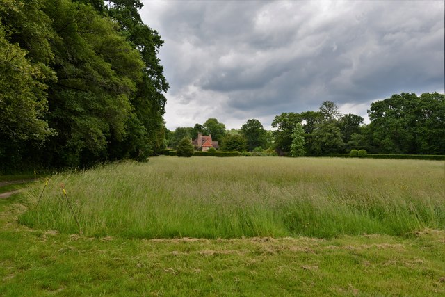
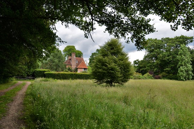
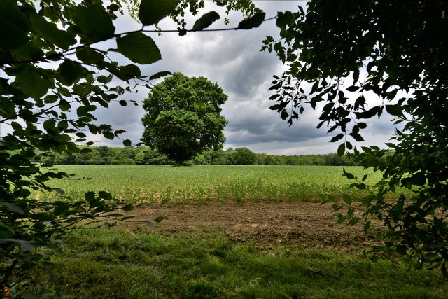
Lower Wood is a tranquil and picturesque woodland area located in the county of Surrey, England. Situated in the southern part of the county, Lower Wood is part of the wider Surrey Hills Area of Outstanding Natural Beauty, renowned for its stunning landscapes and diverse wildlife.
Covering an area of approximately 250 hectares, Lower Wood is predominantly composed of broadleaf trees such as oak, beech, and birch, creating a rich and varied habitat for numerous species of plants and animals. The woodland is carefully managed to preserve its natural beauty and ecological importance, with designated paths and trails allowing visitors to explore and enjoy the area while minimizing disruption to the wildlife.
Lower Wood is a popular destination for nature enthusiasts, walkers, and birdwatchers. The varied terrain provides an opportunity for leisurely strolls, and several well-marked walking trails guide visitors through the woodland. The area is home to a wide range of bird species, including woodpeckers, owls, and various songbirds, making it a haven for birdwatching enthusiasts.
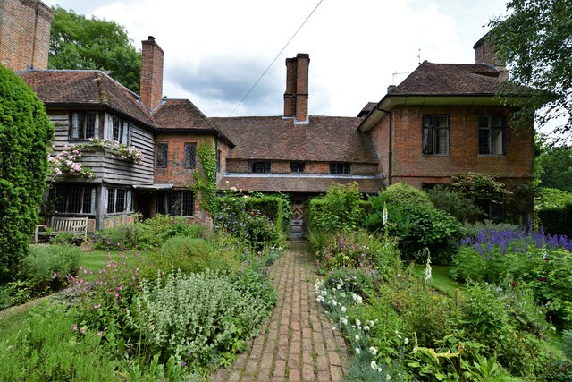
In addition to its natural beauty, Lower Wood also has historical significance. The remnants of ancient settlements and historic structures can be found within the woodland, offering a glimpse into the area's past.
Overall, Lower Wood in Surrey is a captivating and ecologically important woodland area, boasting stunning landscapes, diverse flora and fauna, and a rich history. It provides a peaceful and immersive experience for those seeking to connect with nature and explore the natural wonders of Surrey.
If you have any feedback on the listing, please let us know in the comments section below.
Lower Wood Images
Images are sourced within 2km of 51.122057/-0.60168268 or Grid Reference SU9736. Thanks to Geograph Open Source API. All images are credited.


Lower Wood is located at Grid Ref: SU9736 (Lat: 51.122057, Lng: -0.60168268)
Administrative County: Surrey
District: Waverley
Police Authority: Surrey
What 3 Words
///attic.moons.feeds. Near Chiddingfold, Surrey
Nearby Locations
Related Wikis

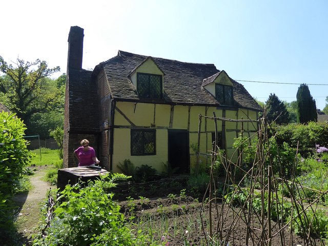
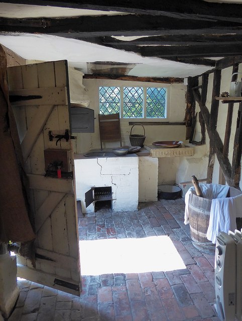
Oakhurst Cottage
Oakhurst Cottage is a tiny 16th or 17th-century cottage in Hambledon, Surrey, in the United Kingdom. It is a Grade II listed building.The cottage was given...

St Teresa of Avila Church, Chiddingfold
St Teresa of Avila Church is a Roman Catholic Parish church in Chiddingfold, Surrey. It is situated on the corner of Petworth Road and Woodside Road in...

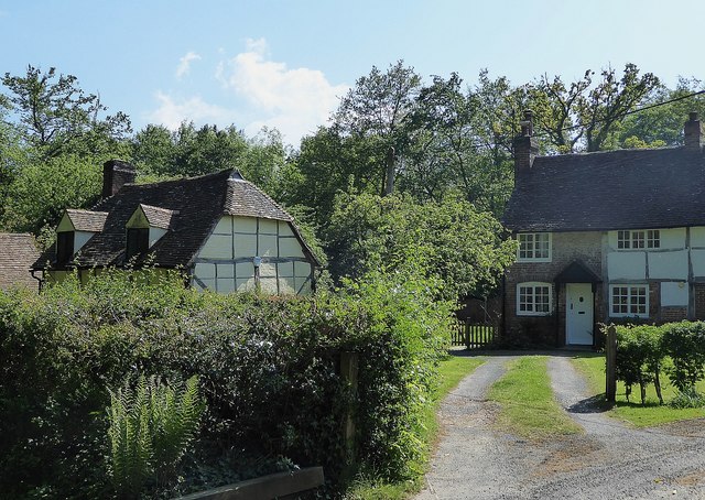
Hambledon, Surrey
Hambledon is a rural scattered village in the Waverley borough of Surrey, situated south of Guildford. It is dominated by a buffer zone of fields and woodland...

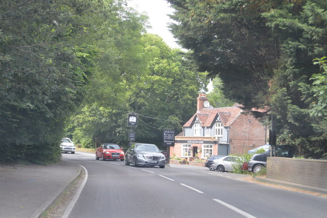
Chiddingfold
Chiddingfold is a village and civil parish in the Weald in the Waverley district of Surrey, England. It lies on the A283 road between Milford and Petworth...

St Dominic's School
St. Dominic's School in Hambledon, Surrey, England is a co-educational day school, one of the oldest special schools in the United Kingdom. It specialises...

Tigbourne Court
Tigbourne Court is an Arts and Crafts style country house in Wormley, Surrey, England, 1 mile (1.6 km) south of Witley. It was designed by architect Edwin...

Hydon's Ball
Hydon's Ball is a 179-metre-high (587 ft) hill covering most of Hydon Heath in Hydestile, Surrey, England. == Description == The hill on Hydon Heath, Hydestile...

Dunsfold
Dunsfold is a village in the borough of Waverley, Surrey, England, 8.7 miles (14.0 kilometres) south of Guildford. It lies in the Weald and reaches in...
Nearby Amenities
Located within 500m of 51.122057,-0.60168268Have you been to Lower Wood?
Leave your review of Lower Wood below (or comments, questions and feedback).