Downlands Wood
Wood, Forest in Surrey Waverley
England
Downlands Wood
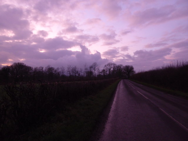
Downlands Wood is a beautiful woodland located in the county of Surrey, England. It is nestled within the Surrey Hills Area of Outstanding Natural Beauty, adding to its allure and ecological significance. The wood covers an area of approximately 200 acres, making it a significant natural resource in the region.
The woodland is predominantly composed of native deciduous trees, such as oak, beech, and birch, which create a diverse and thriving ecosystem. These trees provide vital habitat for a wide range of species, including birds, mammals, and insects. The wood is particularly renowned for its rich birdlife, with species such as woodpeckers, nuthatches, and nightingales being commonly spotted by avid birdwatchers.
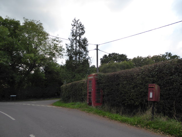
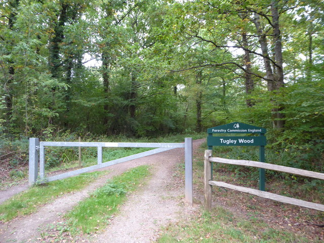
In addition to its ecological importance, Downlands Wood also offers a range of recreational opportunities for visitors. There are well-maintained trails that wind through the wood, allowing hikers and nature enthusiasts to explore its natural splendor. The wood is also a popular destination for picnics and family outings, with designated areas for relaxation and enjoying the surroundings.
Downlands Wood is managed by the local authorities to ensure its preservation and protection. Conservation efforts have been put in place to maintain the delicate balance of the woodland ecosystem and promote sustainable practices. This includes regular monitoring of wildlife populations, tree maintenance, and controlled access to preserve the natural beauty of the wood.
Overall, Downlands Wood is a cherished natural gem in Surrey, offering a peaceful retreat for nature lovers and a vital habitat for a wide variety of species. With its stunning scenery and recreational opportunities, it is a place that is valued by both locals and visitors alike.
If you have any feedback on the listing, please let us know in the comments section below.
Downlands Wood Images
Images are sourced within 2km of 51.081819/-0.60281036 or Grid Reference SU9732. Thanks to Geograph Open Source API. All images are credited.


Downlands Wood is located at Grid Ref: SU9732 (Lat: 51.081819, Lng: -0.60281036)
Administrative County: Surrey
District: Waverley
Police Authority: Surrey
What 3 Words
///reception.proud.listen. Near Chiddingfold, Surrey
Nearby Locations
Related Wikis

The Farm (recording studio)
The Farm (also known as Fisher Lane Farm) was a recording studio in Chiddingfold, Surrey owned by the rock band Genesis. The group bought the property...

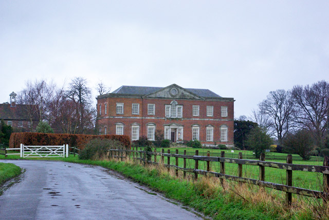
Shillinglee
Shillinglee is an 18th-century house and estate in West Sussex, England near the Surrey border, in between the villages of Chiddingfold and Plaistow. It...

Chiddingfold Forest
Chiddingfold Forest is a 542.5-hectare (1,341-acre) biological Site of Special Scientific Interest in Chiddingfold in Surrey and West Sussex. One part...

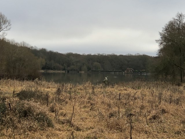
Shillinglee Lake
Shillinglee Lake is a 17-hectare (42-acre) biological Site of Special Scientific Interest west of Plaistow in West Sussex.The lake has been designated...

Pickhurst
Pickhurst is a grade II* listed house set in 130 acres (53 ha) of land near Chiddingfold, Surrey, England. == History == It was designed by the Scottish...

Plaistow, West Sussex
Plaistow ( PLAST-oh) is a village and civil parish in the north of the Chichester District of West Sussex, England. There is a village green, a recreation...

Ramster
Ramster Garden is an open garden, near Chiddingfold, Surrey, covering over 20 acres (81,000 m2). First landscaped and laid out in the 1890s by Gauntlett...

Ramsnest Common
Ramsnest Common is a hamlet in the far south of the Borough of Waverley, the largest district of Surrey, England centred on the A283 1.5 miles (2.4 km...
Nearby Amenities
Located within 500m of 51.081819,-0.60281036Have you been to Downlands Wood?
Leave your review of Downlands Wood below (or comments, questions and feedback).