Alderlands Copse

Wood, Forest in Surrey Waverley

England

Alderlands Copse

Toll House, Chiddingfold What looks to be an ex-toll house. The brick fabric looks late for a toll house so may well have served the Petworth Turnpike Trust in its dying years. It would have replaced a Toll House SSE on the North side of the ford/bridge at Northbridge.

Milestone Society National ID: SY.CHI
Toll House, Chiddingfold Credit: Lionel Joseph

Alderlands Copse is a picturesque woodland located in Surrey, England. This enchanting forest is situated near the village of Alderlands, surrounded by rolling hills and meandering streams. Covering an area of approximately 50 acres, the copse is known for its diverse range of flora and fauna, making it a popular destination for nature enthusiasts and hikers.

The woodland is predominantly composed of mature alder trees, from which it takes its name. These majestic trees create a dense canopy, providing shade and shelter for a variety of wildlife. The forest floor is adorned with a vibrant carpet of bluebells during the springtime, creating a breathtaking display of color.

Alderlands Copse is home to a rich assortment of wildlife, including deer, foxes, badgers, and an array of bird species. It is not uncommon to catch a glimpse of a red kite soaring overhead or hear the melodic song of a nightingale echoing through the trees. The copse also boasts a small pond, which acts as a haven for numerous amphibians and insects.

The woodland offers several well-maintained trails, allowing visitors to explore its natural wonders at their own pace. Whether one chooses to embark on a leisurely stroll or a more challenging hike, there are options for all levels of fitness. Nature lovers will find themselves captivated by the peaceful ambiance and serenity that Alderlands Copse offers.

Overall, Alderlands Copse is a hidden gem in the Surrey countryside, providing a tranquil escape from the hustle and bustle of everyday life. With its stunning scenery and abundant wildlife, it is a haven for those seeking solace in nature.

If you have any feedback on the listing, please let us know in the comments section below.

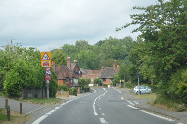
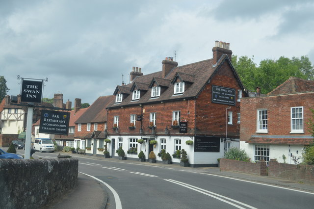
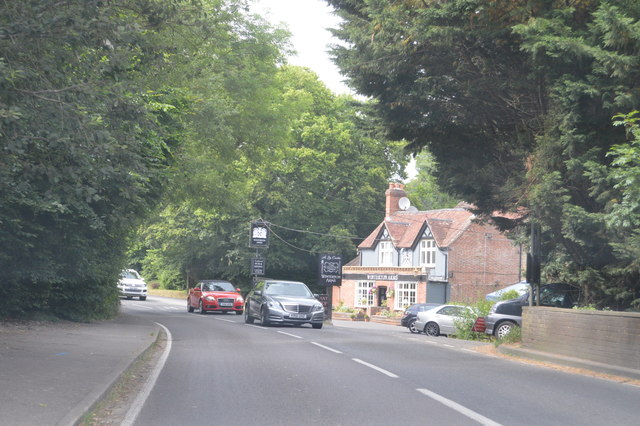
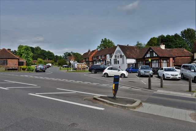
Alderlands Copse Images

Images are sourced within 2km of 51.117829/-0.60759689 or Grid Reference SU9736. Thanks to Geograph Open Source API. All images are credited.

Toll House, Chiddingfold What looks to be an ex-toll house. The brick fabric looks late for a toll house so may well have served the Petworth Turnpike Trust in its dying years. It would have replaced a Toll House SSE on the North side of the ford/bridge at Northbridge.

Milestone Society National ID: SY.CHI
Toll House, Chiddingfold
What looks to be an ex-toll house. The brick fabric looks late for a toll house so may well have served the Petworth Turnpike Trust in its dying years. It would have replaced a Toll House SSE on the North side of the ford/bridge at Northbridge. Milestone Society National ID: SY.CHI
Ridgley Road at the junction of Coxcomb Lane
Shops on The Green, Chiddingfold
Shops on The Green, Chiddingfold A very small Boots, one of the few large chains who kept their village shops as well.
Shops on The Green, Chiddingfold
A very small Boots, one of the few large chains who kept their village shops as well.
House on The Green, Chiddingfold
The Winterton Arms, Chiddingfold
Houses on Petworth Road, Chiddingfold
Petworth Road, Chiddingfold
Old house on Petworth Road, Chiddingfold
A283, Chiddingfold The A283 runs 37 miles from Milford near Guildford south to Shoreham-on-Sea across rural Surrey and West Sussex.
<span class="nowrap"><a title="https://www.sabre-roads.org.uk/wiki/index.php?title=A283" rel="nofollow ugc noopener" href="https://www.sabre-roads.org.uk/wiki/index.php?title=A283">Link</a><img style="margin-left:2px;" alt="External link" title="External link - shift click to open in new window" src="https://s1.geograph.org.uk/img/external.png" width="10" height="10"/></span>
A283, Chiddingfold
The A283 runs 37 miles from Milford near Guildford south to Shoreham-on-Sea across rural Surrey and West Sussex. LinkExternal link
The Swan Inn
The Swan Inn
Church of St Mary Chiddingfold is a village and civil parish in the heart of The Weald in the Waverley district of Surrey. It lies on the A283 between Milford and Petworth.
Wikipedia: <span class="nowrap"><a title="http://en.wikipedia.org/wiki/Chiddingfold" rel="nofollow ugc noopener" href="http://en.wikipedia.org/wiki/Chiddingfold">Link</a><img style="margin-left:2px;" alt="External link" title="External link - shift click to open in new window" src="https://s1.geograph.org.uk/img/external.png" width="10" height="10"/></span>
Church of St Mary
Chiddingfold is a village and civil parish in the heart of The Weald in the Waverley district of Surrey. It lies on the A283 between Milford and Petworth. Wikipedia: LinkExternal link
A283 at The Winterton Arms The A283 runs 37 miles from Milford near Guildford south to Shoreham-on-Sea across rural Surrey and West Sussex.
<span class="nowrap"><a title="https://www.sabre-roads.org.uk/wiki/index.php?title=A283" rel="nofollow ugc noopener" href="https://www.sabre-roads.org.uk/wiki/index.php?title=A283">Link</a><img style="margin-left:2px;" alt="External link" title="External link - shift click to open in new window" src="https://s1.geograph.org.uk/img/external.png" width="10" height="10"/></span>
A283 at The Winterton Arms
The A283 runs 37 miles from Milford near Guildford south to Shoreham-on-Sea across rural Surrey and West Sussex. LinkExternal link
Chiddingfold: Looking towards The Green
Chiddingfold, St. Mary's Church: The nave
Chiddingfold, St. Mary's Church: The font
Show me another place!

Alderlands Copse is located at Grid Ref: SU9736 (Lat: 51.117829, Lng: -0.60759689)

Administrative County: Surrey

District: Waverley

Police Authority: Surrey

What 3 Words

///tastier.wins.reverses. Near Chiddingfold, Surrey

Related Wikis

St Teresa of Avila Church, Chiddingfold

St Teresa of Avila Church is a Roman Catholic Parish church in Chiddingfold, Surrey. It is situated on the corner of Petworth Road and Woodside Road in...

Chiddingfold

Chiddingfold is a village and civil parish in the Weald in the Waverley district of Surrey, England. It lies on the A283 road between Milford and Petworth...

Oakhurst Cottage

Oakhurst Cottage is a tiny 16th or 17th-century cottage in Hambledon, Surrey, in the United Kingdom. It is a Grade II listed building.The cottage was given...

Pickhurst

Pickhurst is a grade II* listed house set in 130 acres (53 ha) of land near Chiddingfold, Surrey, England. == History == It was designed by the Scottish...

Hambledon, Surrey

Hambledon is a rural scattered village in the Waverley borough of Surrey, situated south of Guildford. It is dominated by a buffer zone of fields and woodland...

Tigbourne Court

Tigbourne Court is an Arts and Crafts style country house in Wormley, Surrey, England, 1 mile (1.6 km) south of Witley. It was designed by architect Edwin...

St Dominic's School

St. Dominic's School in Hambledon, Surrey, England is a co-educational day school, one of the oldest special schools in the United Kingdom. It specialises...

Dunsfold

Dunsfold is a village in the borough of Waverley, Surrey, England, 8.7 miles (14.0 kilometres) south of Guildford. It lies in the Weald and reaches in...

Nearby Amenities

Located within 500m of 51.117829,-0.60759689
Stonehurst
Building: yes
Source: npe
Lat/Long: 51.1200203/-0.6101604
The data included in this document is from www.openstreetmap.org. The data is made available under ODbL.

Have you been to Alderlands Copse?

Leave your review of Alderlands Copse below (or comments, questions and feedback).