Ringshall Coppice
Wood, Forest in Buckinghamshire
England
Ringshall Coppice
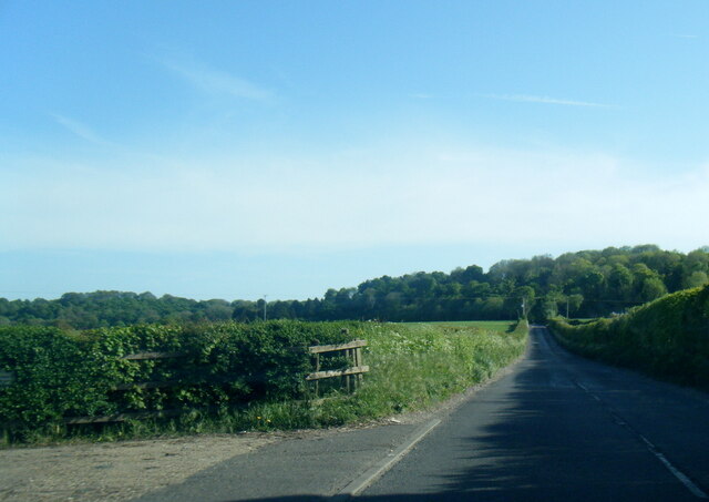
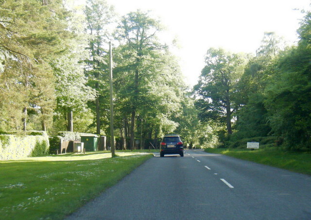
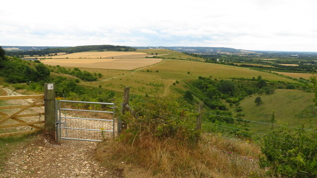
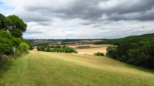
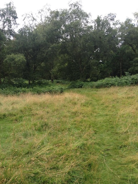
Ringshall Coppice is a picturesque woodland located in Buckinghamshire, England. Spanning over a vast area, the forest is known for its natural beauty and rich biodiversity. It is situated near the village of Ringshall and is easily accessible to visitors.
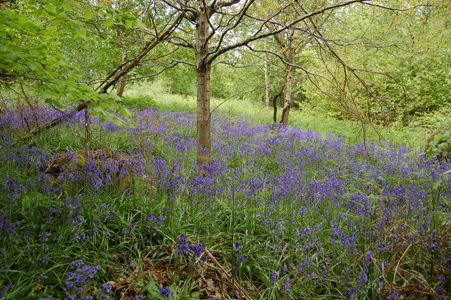
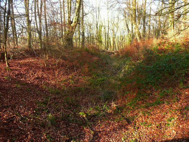
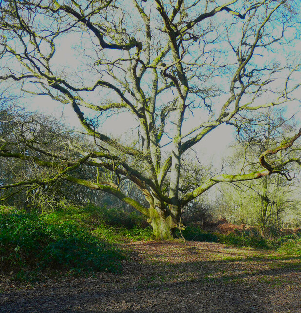
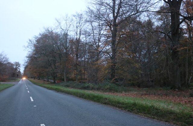
The coppice is primarily composed of native broadleaf trees, including oak, beech, ash, and birch. The dense canopy created by these trees provides a serene and tranquil atmosphere, making it a popular destination for nature enthusiasts and hikers. The forest floor is covered with a variety of wildflowers, ferns, and mosses, adding to its charm and allure.
Ringshall Coppice is not only a haven for flora but also a thriving habitat for numerous wildlife species. Birdwatchers can spot a wide range of avian species, such as woodpeckers, tits, and warblers, among others. Small mammals like squirrels and rabbits can also be observed scurrying among the trees.
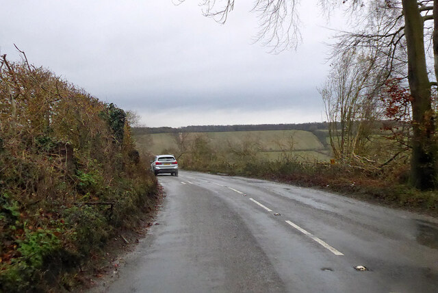
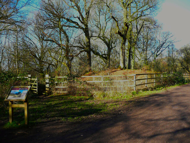
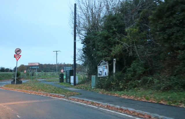
The forest offers several walking trails and footpaths, allowing visitors to explore its beauty at their own pace. These trails wind through the woodland, offering stunning views of the surrounding countryside. The coppice is well-maintained, with clear signposts and information boards providing interesting facts about the local ecosystem.
Ringshall Coppice is a place of natural beauty and tranquility, offering a peaceful escape from the hustle and bustle of everyday life. Whether it's a leisurely stroll, birdwatching, or simply enjoying the serenity of the forest, this woodland gem in Buckinghamshire is a must-visit for nature lovers.
If you have any feedback on the listing, please let us know in the comments section below.
Ringshall Coppice Images
Images are sourced within 2km of 51.825864/-0.58023008 or Grid Reference SP9715. Thanks to Geograph Open Source API. All images are credited.
Ringshall Coppice is located at Grid Ref: SP9715 (Lat: 51.825864, Lng: -0.58023008)
Unitary Authority: Buckinghamshire
Police Authority: Thames Valley
What 3 Words
///limp.deranged.bonkers. Near Ivinghoe, Buckinghamshire
Nearby Locations
Related Wikis
Ringshall, Berkhamsted
Ringshall is a hamlet in the Chiltern Hills of England. It is located on the border of the counties of Buckinghamshire and Hertfordshire; parts of the...

Ashridge Commons and Woods
Ashridge Commons and Woods is a 640.1 hectare biological Site of Special Scientific Interest in Buckinghamshire and Hertfordshire. It is located in Little...

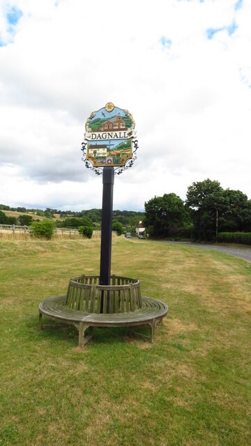
Dagnall
Dagnall is a village in the parish of Edlesborough, in Buckinghamshire, England. The place name is derived from the Old English for "Daegga's Knoll". In...
Ivinghoe Hills
Ivinghoe Hills is a 210.4 hectares (520 acres) Site of Special Scientific Interest in Ivinghoe in Buckinghamshire, and part of the Chilterns Area of Outstanding...

Ashridge Golf Club
Ashridge Golf Club, also Ashridge Artisans Golf Club, is a golf club in Little Gaddesden, on the border of Hertfordshire and Bedfordshire, England, 2.5...
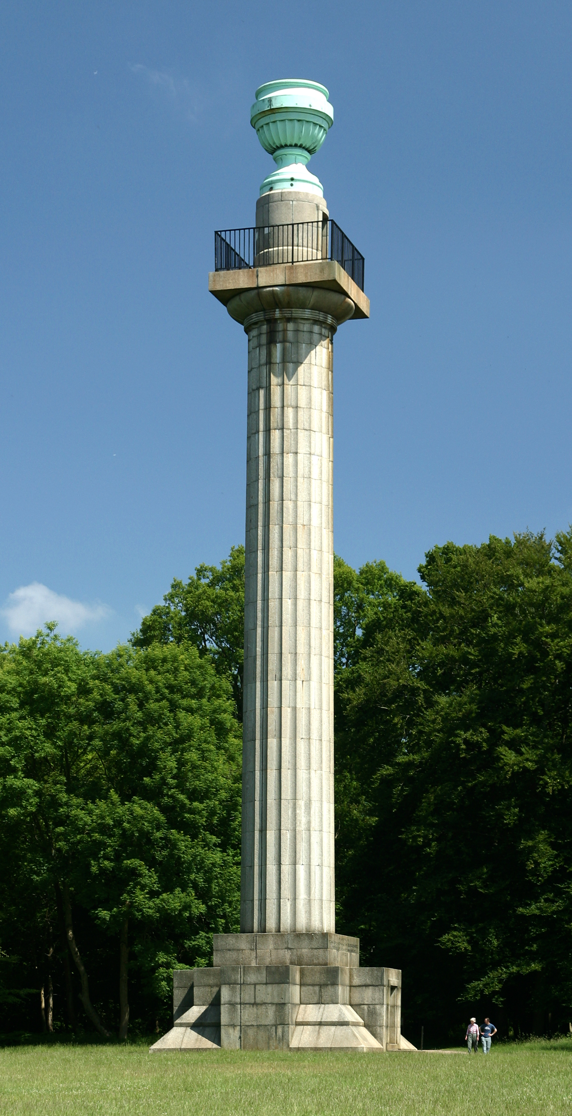
Bridgewater Monument
The Bridgewater Monument is a Grade II* listed monumental column in the Ashridge estate in Hertfordshire, England. It was built in 1832 to commemorate...

Barley End
Barley End is a hamlet within the parish of Pitstone(where the 2011 Census population was included) in Buckinghamshire, England.

Stocks House
Stocks Manor House is a large Georgian mansion, built in 1773. It is the largest property in the village of Aldbury, Hertfordshire. Stocks House and its...
Nearby Amenities
Located within 500m of 51.825864,-0.58023008Have you been to Ringshall Coppice?
Leave your review of Ringshall Coppice below (or comments, questions and feedback).