Pug's Bottom Roughs
Wood, Forest in Sussex Chichester
England
Pug's Bottom Roughs

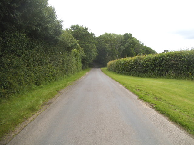
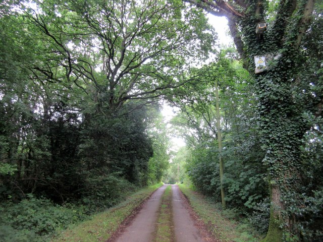
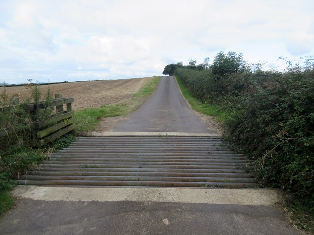
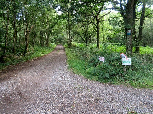
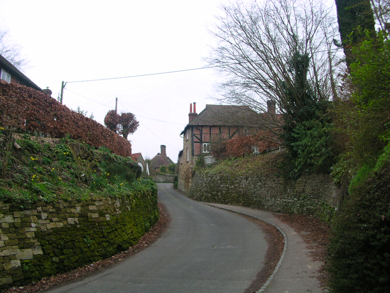
Pug's Bottom Roughs is a picturesque woodland located in Sussex, England. Situated in the southern part of the county, this woodland is well-known for its natural beauty and enchanting atmosphere. The name "Pug's Bottom Roughs" originates from the peculiar shape of the terrain, which resembles the backside of a pug dog.
Covering an area of approximately 50 acres, Pug's Bottom Roughs is predominantly composed of dense woodland, consisting of a variety of tree species including oak, beech, and birch. The forest floor is adorned with a rich carpet of ferns, bluebells, and wildflowers, providing a vibrant and colorful backdrop during the spring and summer months.
The woodland is crisscrossed with several walking trails, allowing visitors to explore and immerse themselves in the natural surroundings. These trails vary in difficulty, catering to both casual strollers and more avid hikers. Along the way, one may encounter various wildlife species such as squirrels, rabbits, and a diverse array of birdlife.
Pug's Bottom Roughs is a popular destination for nature lovers, photographers, and those seeking tranquility away from the bustling city life. The peaceful and serene ambiance, coupled with the scenic beauty, make it an ideal spot for picnics, nature walks, and even wildlife observation.
Managed by the local conservation authority, Pug's Bottom Roughs ensures the preservation of its natural habitat while providing visitors with a memorable outdoor experience.
If you have any feedback on the listing, please let us know in the comments section below.
Pug's Bottom Roughs Images
Images are sourced within 2km of 51.023392/-0.60493807 or Grid Reference SU9725. Thanks to Geograph Open Source API. All images are credited.


Pug's Bottom Roughs is located at Grid Ref: SU9725 (Lat: 51.023392, Lng: -0.60493807)
Administrative County: West Sussex
District: Chichester
Police Authority: Sussex
What 3 Words
///sprayed.pushed.polar. Near Petworth, West Sussex
Nearby Locations
Related Wikis

Balls Cross
Balls Cross is a hamlet in Ebernoe civil parish in the Chichester District of West Sussex, England.The hamlet comprises a few houses together with a small...

Petworth (electoral division)
Petworth is an electoral division of West Sussex in the United Kingdom, and returns one member to sit on West Sussex County Council. == Extent == The division...

Ebernoe Common
Ebernoe Common is a 233.9-hectare (578-acre) biological Site of Special Scientific Interest in Ebernoe, north of Petworth in West Sussex. It is a Nature...

Ebernoe
Ebernoe is a hamlet and civil parish in the District of Chichester in West Sussex, England, and 4 miles (6 km) north of Petworth near the A283 road. The...

Ebernoe Horn Fair
Ebernoe Horn Fair is held in the small Sussex village of Ebernoe, the location of which is about five miles north of Petworth (grid reference SU975280...
Upperton, West Sussex
Upperton is a hamlet in the Chichester district of West Sussex, England. Part of Tillington civil parish it lies on the Tillington to Lurgashall road 1...

Kirdford
Kirdford is a village and civil parish in the Chichester District of West Sussex, England. Its nearest town is Petworth, located 6.5 miles (10.5 km) southwest...
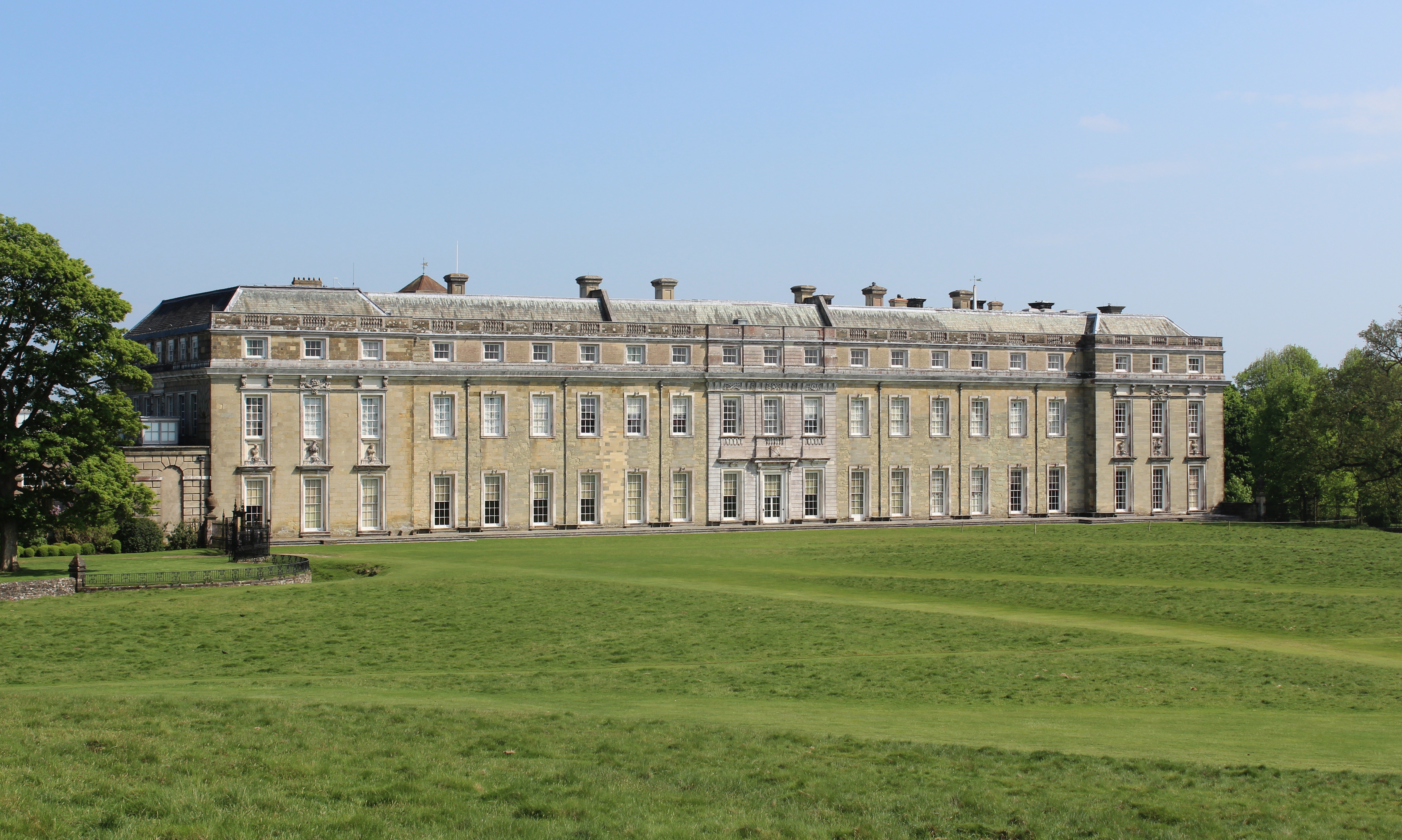
Petworth House
Petworth House in the parish of Petworth, West Sussex, England, is a late 17th-century Grade I listed country house, rebuilt in 1688 by Charles Seymour...
Nearby Amenities
Located within 500m of 51.023392,-0.60493807Have you been to Pug's Bottom Roughs?
Leave your review of Pug's Bottom Roughs below (or comments, questions and feedback).