Kiln Copse
Wood, Forest in Sussex Chichester
England
Kiln Copse

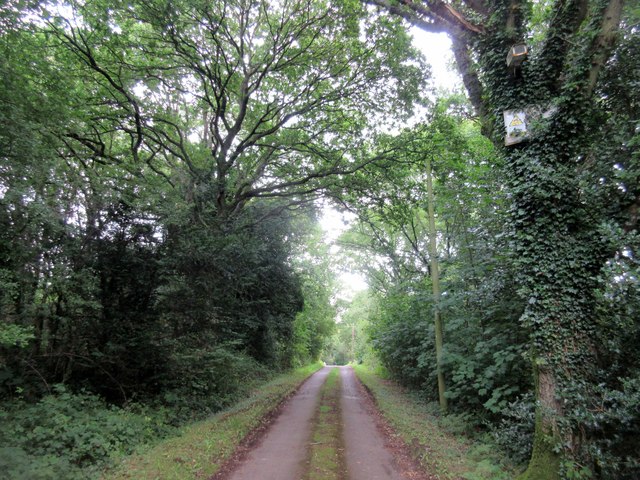
Kiln Copse is a picturesque woodland located in Sussex, England. Situated in the heart of the South Downs National Park, this enchanting forest covers an area of approximately 100 acres. The copse is known for its diverse range of tree species, including oak, ash, beech, and birch, which create a vibrant tapestry of colors throughout the year.
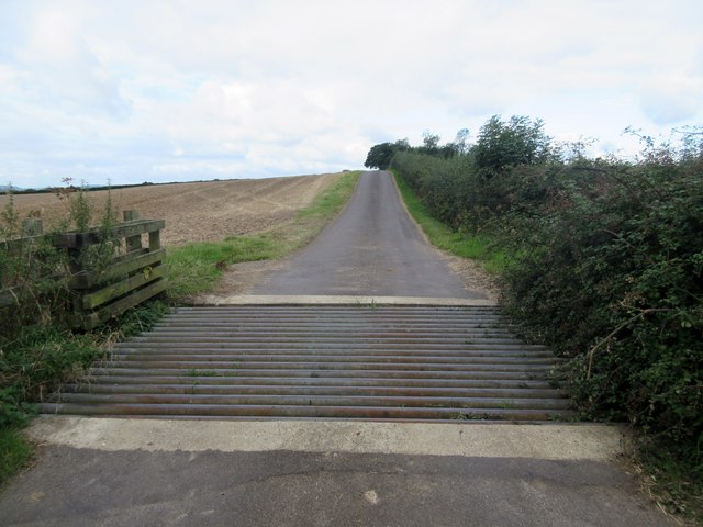
The woodland is crisscrossed by a network of well-maintained trails, making it a popular destination for nature enthusiasts and hikers. These paths lead visitors through the peaceful woods, allowing them to immerse themselves in the tranquil ambiance and experience the beauty of the surrounding landscape.
Kiln Copse is home to a variety of wildlife, providing a sanctuary for many species. Birdwatchers will delight in the opportunity to spot rare and migratory birds, such as the nightingale and the woodpecker. Squirrels can be seen darting among the treetops, while deer occasionally make an appearance, adding to the area's natural charm.
The copse is also notable for its historical significance. It is believed that the woodland was once used as a charcoal kiln during the medieval period, hence the name "Kiln Copse." This adds an extra layer of intrigue and heritage to the site, attracting history enthusiasts and archaeologists alike.
Overall, Kiln Copse offers a serene escape from the hustle and bustle of everyday life. Its natural beauty, abundant wildlife, and historical importance make it a must-visit destination for anyone seeking a peaceful retreat in the heart of Sussex.
If you have any feedback on the listing, please let us know in the comments section below.
Kiln Copse Images
Images are sourced within 2km of 51.0176/-0.61319561 or Grid Reference SU9725. Thanks to Geograph Open Source API. All images are credited.


Kiln Copse is located at Grid Ref: SU9725 (Lat: 51.0176, Lng: -0.61319561)
Administrative County: West Sussex
District: Chichester
Police Authority: Sussex
What 3 Words
///share.solutions.version. Near Petworth, West Sussex
Nearby Locations
Related Wikis

Balls Cross
Balls Cross is a hamlet in Ebernoe civil parish in the Chichester District of West Sussex, England.The hamlet comprises a few houses together with a small...

Ebernoe Common
Ebernoe Common is a 233.9-hectare (578-acre) biological Site of Special Scientific Interest in Ebernoe, north of Petworth in West Sussex. It is a Nature...

Petworth (electoral division)
Petworth is an electoral division of West Sussex in the United Kingdom, and returns one member to sit on West Sussex County Council. == Extent == The division...

Ebernoe
Ebernoe is a hamlet and civil parish in the District of Chichester in West Sussex, England, and 4 miles (6 km) north of Petworth near the A283 road. The...

Ebernoe Horn Fair
Ebernoe Horn Fair is held in the small Sussex village of Ebernoe, the location of which is about five miles north of Petworth (grid reference SU975280...
Upperton, West Sussex
Upperton is a hamlet in the Chichester district of West Sussex, England. Part of Tillington civil parish it lies on the Tillington to Lurgashall road 1...

Pitshill
Pitshill is a Grade II* listed house built in the neoclassical style and is located within the Parish of Tillington a couple of miles west of Petworth...
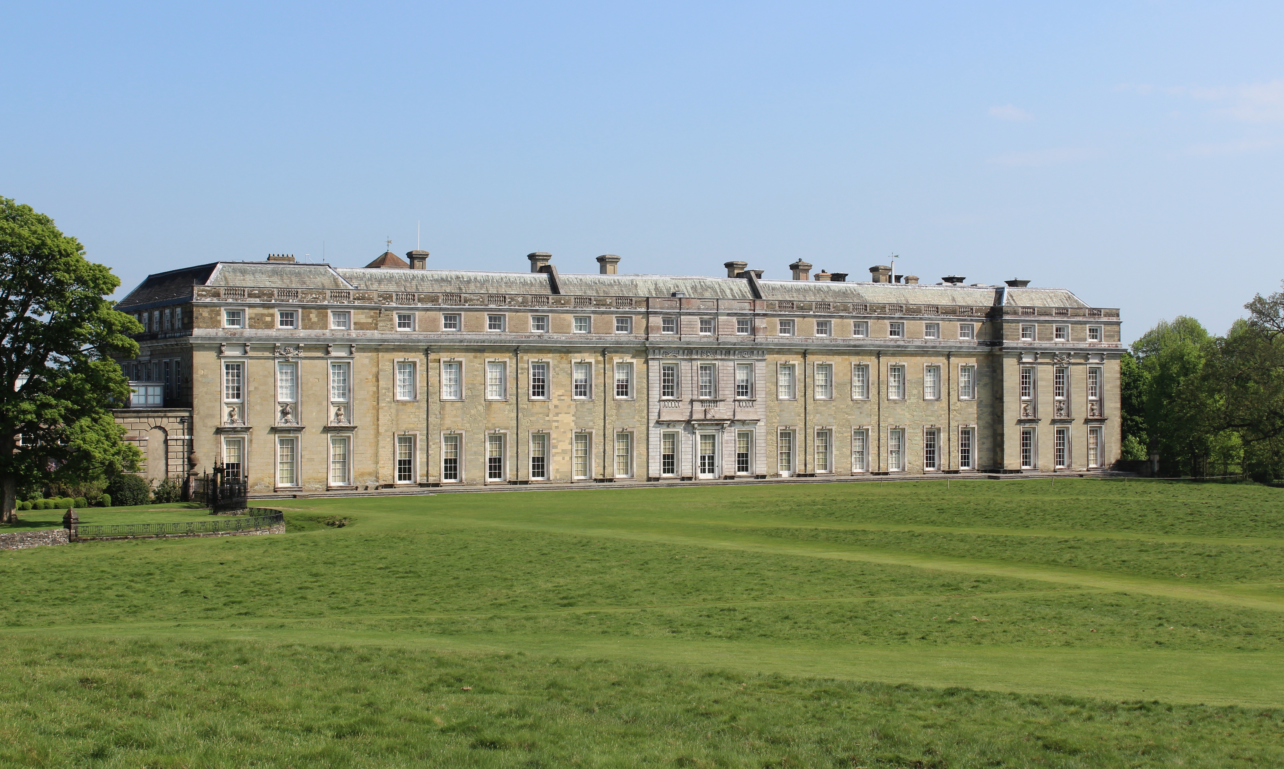
Petworth House
Petworth House in the parish of Petworth, West Sussex, England, is a late 17th-century Grade I listed country house, rebuilt in 1688 by Charles Seymour...
Nearby Amenities
Located within 500m of 51.0176,-0.61319561Have you been to Kiln Copse?
Leave your review of Kiln Copse below (or comments, questions and feedback).