Beanfield Copse

Wood, Forest in Sussex Chichester

England

Beanfield Copse

Piper's cottages
Piper's cottages Credit: David Howard

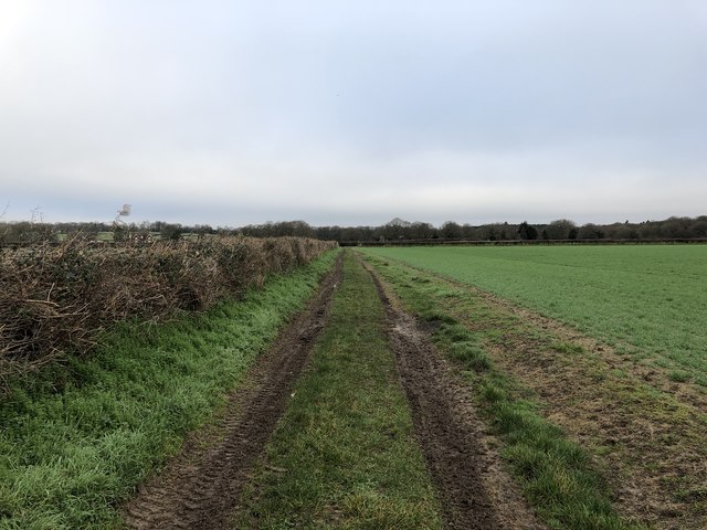
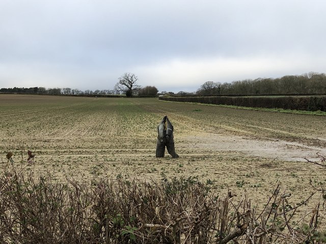
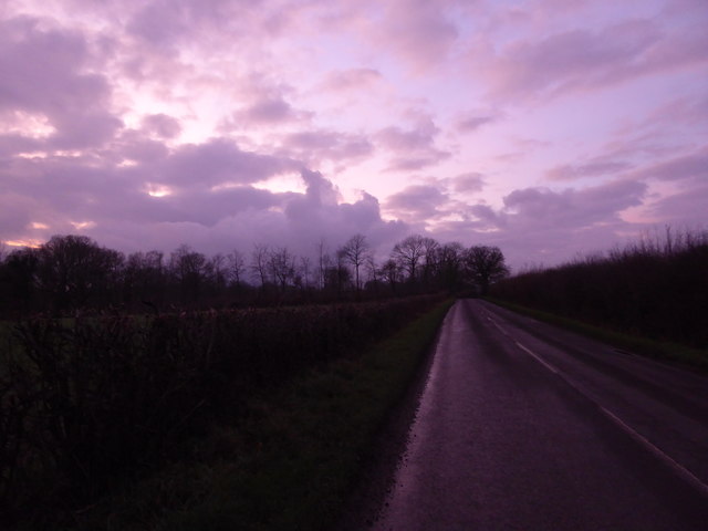
Beanfield Copse is a picturesque woodland located in Sussex, England. Covering an area of approximately 50 acres, it is a captivating destination for nature enthusiasts and those seeking tranquility amidst the beauty of the natural world. The copse is situated on gently rolling hills, providing stunning views of the surrounding countryside.

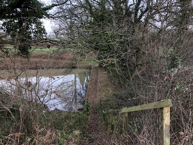
The woodland is predominantly composed of deciduous trees, including oak, beech, and birch, which create a dense canopy and offer shade during the warmer months. These trees provide a habitat for a diverse range of wildlife, including birds, small mammals, and insects. The copse is particularly known for its rich birdlife, with species such as woodpeckers, thrushes, and owls frequently spotted.

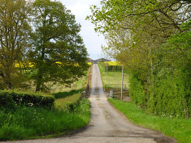
Tranquil pathways wind through the copse, inviting visitors to explore its enchanting beauty. These paths are well-maintained, making it accessible to all, including families with young children and individuals with mobility challenges. Along the way, visitors can enjoy the sights and sounds of nature, with wildflowers adorning the forest floor during spring and summer.

Beanfield Copse also offers various recreational activities, such as picnicking, birdwatching, and hiking. The copse is a popular spot for locals and tourists alike, who come to unwind and reconnect with nature. With its peaceful ambiance and stunning vistas, it is an ideal place for solitude, relaxation, and rejuvenation.

Overall, Beanfield Copse is a captivating woodland that showcases the natural beauty of Sussex. With its diverse flora and fauna, well-maintained pathways, and recreational opportunities, it is a must-visit destination for anyone seeking a respite from the hustle and bustle of everyday life.

If you have any feedback on the listing, please let us know in the comments section below.

Beanfield Copse Images

Images are sourced within 2km of 51.073287/-0.61050414 or Grid Reference SU9731. Thanks to Geograph Open Source API. All images are credited.

Piper's cottages
Piper's cottages
Horses by Pipers Lane, Northchapel
Horses in Northchapel
Pipers Lane east of Northchapel
Track to Pipers Lane The wide track heads north to join Pipers Lane near Mitchell Park Farm.
Track to Pipers Lane
The wide track heads north to join Pipers Lane near Mitchell Park Farm.
Field with scarecrows There were several scarecrows in the field, this one being the closest to the public footpath.
Field with scarecrows
There were several scarecrows in the field, this one being the closest to the public footpath.
Four-way Junction A crossing path provides a four-way option at the junction of fields just ahead. The footpath maker was not in good condition with only one of the four fingers on the post still in place.
Four-way Junction
A crossing path provides a four-way option at the junction of fields just ahead. The footpath maker was not in good condition with only one of the four fingers on the post still in place.
Path past the Pond Approaching the pond at Mitchell Park Farm on the public footpath, which crosses the pond dam.
Path past the Pond
Approaching the pond at Mitchell Park Farm on the public footpath, which crosses the pond dam.
Mitchell Park Farm The house at Mitchell Park Farm, which appears to be the Farmhouse
Mitchell Park Farm
The house at Mitchell Park Farm, which appears to be the Farmhouse
Bridleways near Piper’s Cottages The junction of bridleways just north of the cottages.
Bridleways near Piper’s Cottages
The junction of bridleways just north of the cottages.
Piper’s Cottages The cottages on the corner of Piper’s Lane also opposite Piper’s Copse.
Piper’s Cottages
The cottages on the corner of Piper’s Lane also opposite Piper’s Copse.
Fields near Piper's Cottages
Bridge on Piper's Lane
Piper's Lane east to North Chapel Piper's Copse on the left and Hammer Cottages are in the distance.
Piper's Lane east to North Chapel
Piper's Copse on the left and Hammer Cottages are in the distance.
Private road to Dale's Farm There is a cattle grid just beyond the bridge at the bottom of the dip.
Private road to Dale's Farm
There is a cattle grid just beyond the bridge at the bottom of the dip.
Ripening oats in Sussex Not a crop I'd expect to see in Sussex, but the uniformity of colour suggests that there are many acres here.  I couldn't help noticing that the crop wasn't nearly as tall as traditional oats - so presumably they've sown a modern, low-growing variety.

And, just by the way - there's meant to be a right of way along the edge of this field.  I wouldn't care to  pioneer the route through - there are plenty of roe deer in the general area, and that will mean ticks in abundance.
Ripening oats in Sussex
Not a crop I'd expect to see in Sussex, but the uniformity of colour suggests that there are many acres here. I couldn't help noticing that the crop wasn't nearly as tall as traditional oats - so presumably they've sown a modern, low-growing variety. And, just by the way - there's meant to be a right of way along the edge of this field. I wouldn't care to pioneer the route through - there are plenty of roe deer in the general area, and that will mean ticks in abundance.
December sky at dusk This day had the earliest sunset of the year.
December sky at dusk
This day had the earliest sunset of the year.
Show me another place!

Beanfield Copse is located at Grid Ref: SU9731 (Lat: 51.073287, Lng: -0.61050414)

Administrative County: West Sussex

District: Chichester

Police Authority: Sussex

What 3 Words

///severe.torn.doghouse. Near Chiddingfold, Surrey

Related Wikis

Shillinglee Lake

Shillinglee Lake is a 17-hectare (42-acre) biological Site of Special Scientific Interest west of Plaistow in West Sussex.The lake has been designated...

Shillinglee

Shillinglee is an 18th-century house and estate in West Sussex, England near the Surrey border, in between the villages of Chiddingfold and Plaistow. It...

The Farm (recording studio)

The Farm (also known as Fisher Lane Farm) was a recording studio in Chiddingfold, Surrey owned by the rock band Genesis. The group bought the property...

Chiddingfold Forest

Chiddingfold Forest is a 542.5-hectare (1,341-acre) biological Site of Special Scientific Interest in Chiddingfold in Surrey and West Sussex. One part...

Pickhurst

Pickhurst is a grade II* listed house set in 130 acres (53 ha) of land near Chiddingfold, Surrey, England. == History == It was designed by the Scottish...

Northchapel

Northchapel is a village and civil parish in Chichester District in West Sussex, England. It stands on the A283 road just south of the Surrey border, around...

Plaistow, West Sussex

Plaistow ( PLAST-oh) is a village and civil parish in the north of the Chichester District of West Sussex, England. There is a village green, a recreation...

Ramster

Ramster Garden is an open garden, near Chiddingfold, Surrey, covering over 20 acres (81,000 m2). First landscaped and laid out in the 1890s by Gauntlett...

Nearby Amenities

Located within 500m of 51.073287,-0.61050414
Bus Stop
Shillinglee Road
Naptan AtcoCode: 4400HR0900
Naptan Bearing: NW
Naptan BusStopType: CUS
Naptan CommonName: Shillinglee Road
Naptan Indicator: HAR
Naptan Landmark: Hail & Ride
Naptan NaptanCode: wsxgagwd
Naptan Street: Shillinglee Road
Naptan Verified: no
Source: naptan_import
Lat/Long: 51.0768654/-0.6063257
The data included in this document is from www.openstreetmap.org. The data is made available under ODbL.

Have you been to Beanfield Copse?

Leave your review of Beanfield Copse below (or comments, questions and feedback).