Old Furze Field

Wood, Forest in Sussex Chichester

England

Old Furze Field

Horses by Pipers Lane, Northchapel
Horses by Pipers Lane, Northchapel Credit: David Howard

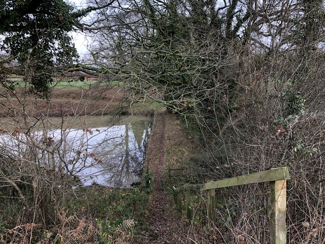
Old Furze Field is a picturesque and historic woodland located in Sussex, England. Covering an area of approximately 50 acres, it is a significant natural reserve and a prime example of a traditional English wood or forest. The site is renowned for its abundance of furze, a type of flowering shrub that lends its name to the field.

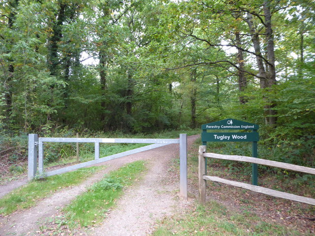
The woodland is characterized by its dense canopy, composed mainly of native broadleaf trees such as oak, beech, and ash. These majestic trees create a tranquil and shady environment, providing habitat for a wide variety of flora and fauna. Bluebells, wild garlic, and wood anemones carpet the forest floor during the spring, creating a breathtaking display of colors.

Old Furze Field has a rich history dating back centuries. It was once part of a larger estate and was used for traditional woodland management practices, including coppicing and pollarding. These techniques have resulted in a diverse range of tree species and sizes, contributing to the field's ecological importance.

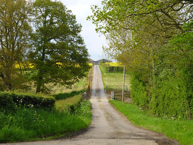
The woodland is a popular destination for nature enthusiasts, hikers, and photographers, who are drawn to its serene atmosphere and stunning natural beauty. Several well-marked trails wind their way through the field, allowing visitors to explore its hidden corners and discover its hidden treasures.

In addition to its recreational value, Old Furze Field plays a vital role in supporting local wildlife. The diverse habitat provides shelter and sustenance for numerous bird species, including woodpeckers, owls, and warblers. Mammals such as badgers, foxes, and deer also call the field their home.

Old Furze Field is a cherished natural gem, offering a peaceful retreat and a glimpse into Sussex's rich natural heritage.

If you have any feedback on the listing, please let us know in the comments section below.

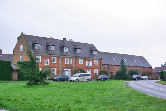
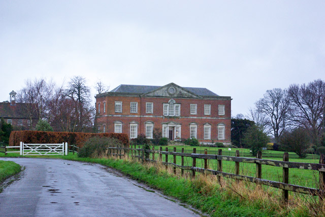
Old Furze Field Images

Images are sourced within 2km of 51.077032/-0.61535979 or Grid Reference SU9731. Thanks to Geograph Open Source API. All images are credited.

Horses by Pipers Lane, Northchapel
Horses in Northchapel
Pipers Lane east of Northchapel
Path past the Pond Approaching the pond at Mitchell Park Farm on the public footpath, which crosses the pond dam.
Path past the Pond
Approaching the pond at Mitchell Park Farm on the public footpath, which crosses the pond dam.
Mitchell Park Farm The house at Mitchell Park Farm, which appears to be the Farmhouse
Mitchell Park Farm
The house at Mitchell Park Farm, which appears to be the Farmhouse
Private road to Dale's Farm There is a cattle grid just beyond the bridge at the bottom of the dip.
Private road to Dale's Farm
There is a cattle grid just beyond the bridge at the bottom of the dip.
December sky at dusk This day had the earliest sunset of the year.
December sky at dusk
This day had the earliest sunset of the year.
Exploring eastwards along the Bashire (6) Looking from Shillinglee Park Road into Pickhurst Road
Running total: 25 B points
Exploring eastwards along the Bashire (6)
Looking from Shillinglee Park Road into Pickhurst Road Running total: 25 B points
Exploring eastwards along the Bashire (7) Footpath sign opposite Robin Farm Racing Stables
Exploring eastwards along the Bashire (7)
Footpath sign opposite Robin Farm Racing Stables
Exploring eastwards along the Bashire (8) Entrance to Tugley Wood
Running total: 27 B points
Exploring eastwards along the Bashire (8)
Entrance to Tugley Wood Running total: 27 B points
Converted stables and barn, Shillinglee Early 18th century, grade II listed.
Converted stables and barn, Shillinglee
Early 18th century, grade II listed.
House, Shillinglee Park A grade II*(star) listed building from 1735 and 1770s. Gutted by fire 1943, restored and converted to flats in the 1970s.
House, Shillinglee Park
A grade II*(star) listed building from 1735 and 1770s. Gutted by fire 1943, restored and converted to flats in the 1970s.
Warco House near Chiddingfold Warco make engineering tools <span class="nowrap"><a title="https://www.warco.co.uk/" rel="nofollow ugc noopener" href="https://www.warco.co.uk/">Link</a><img style="margin-left:2px;" alt="External link" title="External link - shift click to open in new window" src="https://s1.geograph.org.uk/img/external.png" width="10" height="10"/></span>
Warco House near Chiddingfold
Warco make engineering tools LinkExternal link
Warco House near Chiddingfold Making engineering tools <span class="nowrap"><a title="https://www.warco.co.uk/" rel="nofollow ugc noopener" href="https://www.warco.co.uk/">Link</a><img style="margin-left:2px;" alt="External link" title="External link - shift click to open in new window" src="https://s1.geograph.org.uk/img/external.png" width="10" height="10"/></span>
Warco House near Chiddingfold
Making engineering tools LinkExternal link
Fisher Lane south of Chiddingfold
Fisher Lane
Fisher Lane
Barn at Mitchell Park Farm The Barn viewed from the public footpath.
Barn at Mitchell Park Farm
The Barn viewed from the public footpath.
Track leaving Mitchell Park Farm Heading northwards from the farm along the public footpath. The woodland on the right does not appear to be named.
Track leaving Mitchell Park Farm
Heading northwards from the farm along the public footpath. The woodland on the right does not appear to be named.
Show me another place!

Old Furze Field is located at Grid Ref: SU9731 (Lat: 51.077032, Lng: -0.61535979)

Administrative County: West Sussex

District: Chichester

Police Authority: Sussex

What 3 Words

///investors.throat.troubles. Near Chiddingfold, Surrey

Related Wikis

Shillinglee

Shillinglee is an 18th-century house and estate in West Sussex, England near the Surrey border, in between the villages of Chiddingfold and Plaistow. It...

Shillinglee Lake

Shillinglee Lake is a 17-hectare (42-acre) biological Site of Special Scientific Interest west of Plaistow in West Sussex.The lake has been designated...

The Farm (recording studio)

The Farm (also known as Fisher Lane Farm) was a recording studio in Chiddingfold, Surrey owned by the rock band Genesis. The group bought the property...

Pickhurst

Pickhurst is a grade II* listed house set in 130 acres (53 ha) of land near Chiddingfold, Surrey, England. == History == It was designed by the Scottish...

Ramster

Ramster Garden is an open garden, near Chiddingfold, Surrey, covering over 20 acres (81,000 m2). First landscaped and laid out in the 1890s by Gauntlett...

Chiddingfold Forest

Chiddingfold Forest is a 542.5-hectare (1,341-acre) biological Site of Special Scientific Interest in Chiddingfold in Surrey and West Sussex. One part...

Northchapel

Northchapel is a village and civil parish in Chichester District in West Sussex, England. It stands on the A283 road just south of the Surrey border, around...

Ramsnest Common

Ramsnest Common is a hamlet in the far south of the Borough of Waverley, the largest district of Surrey, England centred on the A283 1.5 miles (2.4 km...

Nearby Amenities

Located within 500m of 51.077032,-0.61535979
Shillinglee Road
Naptan AtcoCode: 4400HR0897
Naptan Bearing: SE
Naptan BusStopType: CUS
Naptan CommonName: Shillinglee Road
Naptan Indicator: HAR
Naptan Landmark: Hail & Ride
Naptan NaptanCode: wsxgagtp
Naptan Street: Shillinglee Road
Naptan Verified: no
Source: naptan_import
Lat/Long: 51.0780852/-0.6143693
Shillinglee Road
Naptan AtcoCode: 4400HR0898
Naptan Bearing: NW
Naptan BusStopType: CUS
Naptan CommonName: Shillinglee Road
Naptan Indicator: HAR
Naptan Landmark: Hail & Ride
Naptan NaptanCode: wsxgagtw
Naptan Street: Shillinglee Road
Naptan Verified: no
Source: naptan_import
Lat/Long: 51.0780046/-0.6144003
The data included in this document is from www.openstreetmap.org. The data is made available under ODbL.

Have you been to Old Furze Field?

Leave your review of Old Furze Field below (or comments, questions and feedback).