Grange Plantation
Wood, Forest in Lincolnshire South Kesteven
England
Grange Plantation
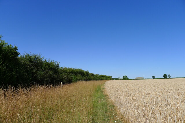
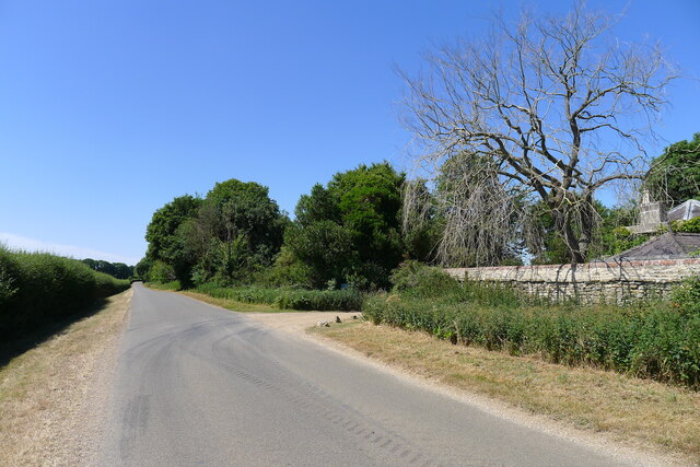
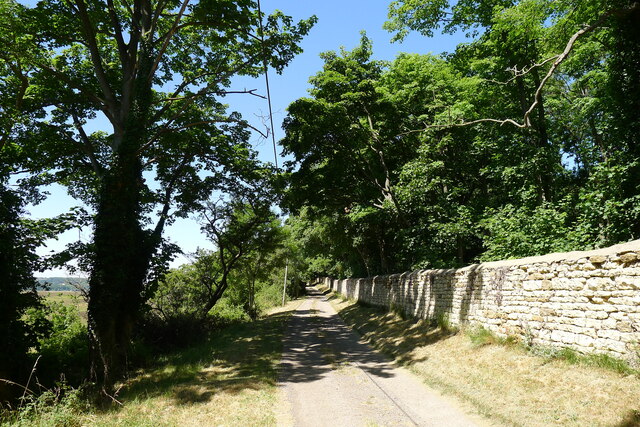
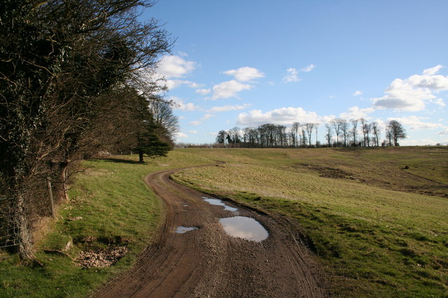
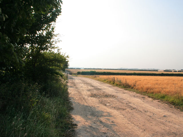
Grange Plantation, located in Lincolnshire, is a sprawling woodland area renowned for its natural beauty and rich biodiversity. Spanning over several hectares, this idyllic forest is a popular destination for nature enthusiasts, hikers, and bird watchers.
The plantation is primarily composed of deciduous trees, including oak, birch, and beech, which create a dense canopy overhead and provide shelter for a diverse range of wildlife. The forest floor is carpeted with a variety of flora, such as bluebells, primroses, and ferns, adding to the picturesque landscape.
Grange Plantation is home to a wide array of animal species, making it a paradise for wildlife lovers. Visitors may spot deer, foxes, badgers, and squirrels among the trees, while the bird population boasts species like woodpeckers, owls, and various songbirds. The plantation's tranquil atmosphere and abundance of natural resources provide a conducive environment for these creatures to thrive.
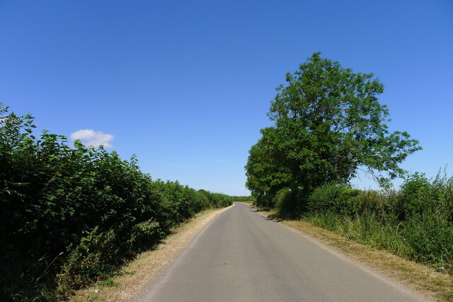
For outdoor enthusiasts, Grange Plantation offers an extensive network of trails and footpaths, allowing visitors to explore the woodland at their own pace. These paths wind through the forest, offering breathtaking views of the surrounding landscape and opportunities for peaceful contemplation.
Moreover, the plantation is well-maintained, with designated picnic areas and benches strategically placed throughout the area, providing visitors with places to rest and enjoy a packed lunch amidst the serene surroundings.
Grange Plantation in Lincolnshire is truly a haven for those seeking a peaceful retreat into nature. With its diverse flora and fauna, well-maintained trails, and scenic beauty, it offers an immersive and rejuvenating experience for all who visit.
If you have any feedback on the listing, please let us know in the comments section below.
Grange Plantation Images
Images are sourced within 2km of 52.956377/-0.56615723 or Grid Reference SK9640. Thanks to Geograph Open Source API. All images are credited.


Grange Plantation is located at Grid Ref: SK9640 (Lat: 52.956377, Lng: -0.56615723)
Administrative County: Lincolnshire
District: South Kesteven
Police Authority: Lincolnshire
What 3 Words
///domestic.pops.durations. Near Ancaster, Lincolnshire
Nearby Locations
Related Wikis

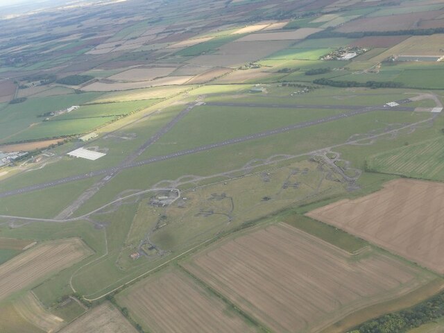
RAF Barkston Heath
Royal Air Force Barkston Heath or RAF Barkston Heath (ICAO: EGYE) is a Royal Air Force Relief Landing Ground under the command of RAF Cranwell near Grantham...
Ancaster, Lincolnshire
Ancaster is a village and civil parish in the South Kesteven district of Lincolnshire, England, on the site of a Roman town. The population of the civil...

Welby, Lincolnshire
Welby is a village and civil parish in the South Kesteven district of Lincolnshire, England. The population of the civil parish was 169 in 82 households...

Honington, Lincolnshire
Honington is an English village and civil parish in the South Kesteven district of Lincolnshire. It lies just north of the junction between the A153 and...
St Bartholomew's Church, Welby
St Bartholomew's Church is a Grade I listed Anglican church dedicated to St Bartholomew the Apostle, in the English village of Welby, Lincolnshire. It...
St Martin's Church, Ancaster
St Martin's Church is a Grade I listed Anglican church, dedicated to Martin of Tours, in Ancaster, Lincolnshire, England. The church is 6 miles (10 km...

Belton House Boathouse
The Boathouse on Boathouse Pond, Belton House, Belton, Lincolnshire was designed by Anthony Salvin in 1838–1839. It is a Grade II listed building. ��2...

Barkston
Barkston is an English village and civil parish in the South Kesteven district of Lincolnshire. The parish population was 497 at the 2001 census and 493...
Nearby Amenities
Located within 500m of 52.956377,-0.56615723Have you been to Grange Plantation?
Leave your review of Grange Plantation below (or comments, questions and feedback).