Ash Close
Wood, Forest in Lincolnshire South Kesteven
England
Ash Close
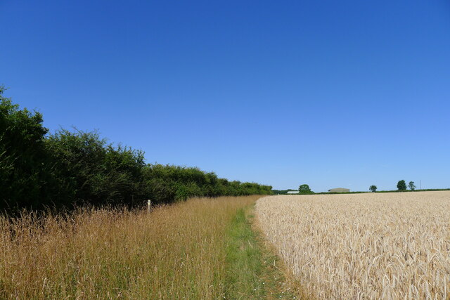
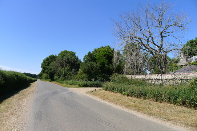
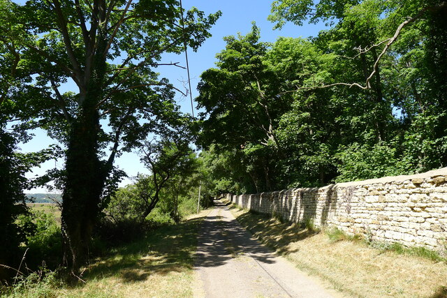
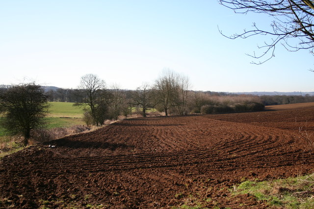
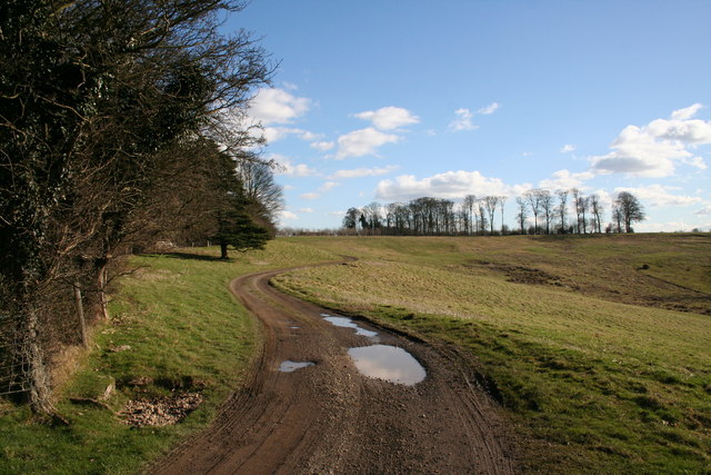
Ash Close is a small residential street located in the idyllic county of Lincolnshire, England. Situated in the area known as Wood or Forest, the street is surrounded by lush greenery and offers a tranquil and peaceful setting for its residents.
The houses on Ash Close are predominantly detached, showcasing a mix of architectural styles that add character to the neighborhood. The properties are well-maintained and feature beautiful gardens, adding to the overall appeal of the street. The area is known for its spacious plots and ample parking, providing a comfortable living experience for its residents.
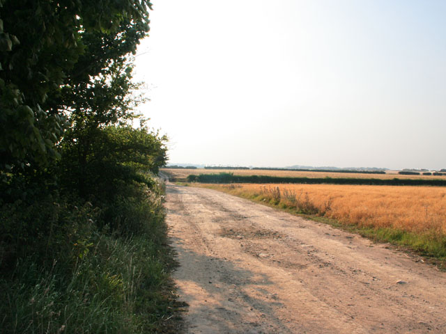
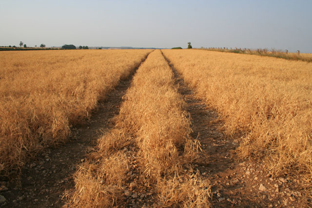
The street benefits from its proximity to various amenities and facilities. Just a short distance away, residents can find a range of local shops, supermarkets, and restaurants, ensuring that all daily needs are easily met. For nature enthusiasts, the nearby woodlands and forests offer plenty of opportunities for outdoor activities such as hiking, cycling, and wildlife spotting.
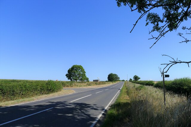
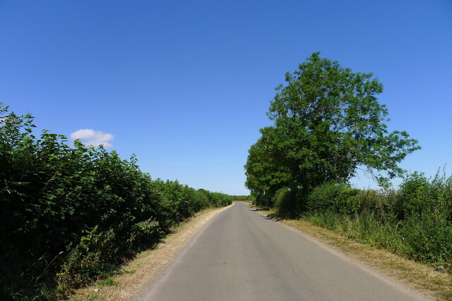
Ash Close is also conveniently located in terms of transportation. The street has good road connections, providing easy access to nearby towns and cities. Public transportation options are also available, with regular bus services connecting the area to the wider region.
Overall, Ash Close offers a picturesque and peaceful living environment, ideal for families or individuals seeking a serene retreat amidst nature. Its convenient location, well-maintained properties, and access to amenities make it a desirable place to call home in Lincolnshire.
If you have any feedback on the listing, please let us know in the comments section below.
Ash Close Images
Images are sourced within 2km of 52.953519/-0.56918425 or Grid Reference SK9640. Thanks to Geograph Open Source API. All images are credited.


Ash Close is located at Grid Ref: SK9640 (Lat: 52.953519, Lng: -0.56918425)
Administrative County: Lincolnshire
District: South Kesteven
Police Authority: Lincolnshire
What 3 Words
///strong.bumpy.skate. Near Ancaster, Lincolnshire
Nearby Locations
Related Wikis

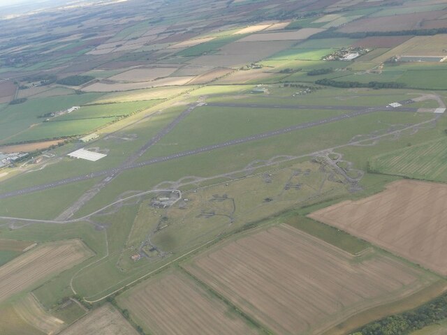
RAF Barkston Heath
Royal Air Force Barkston Heath or RAF Barkston Heath (ICAO: EGYE) is a Royal Air Force Relief Landing Ground under the command of RAF Cranwell near Grantham...

Welby, Lincolnshire
Welby is a village and civil parish in the South Kesteven district of Lincolnshire, England. The population of the civil parish was 169 in 82 households...
Ancaster, Lincolnshire
Ancaster is a village and civil parish in the South Kesteven district of Lincolnshire, England, on the site of a Roman town. The population of the civil...
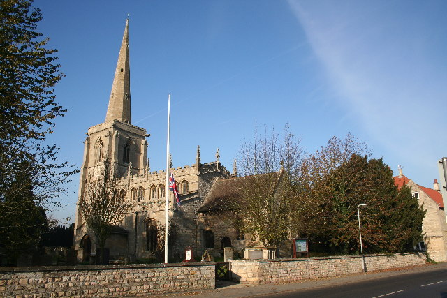
St Bartholomew's Church, Welby
St Bartholomew's Church is a Grade I listed Anglican church dedicated to St Bartholomew the Apostle, in the English village of Welby, Lincolnshire. It...

Belton House Boathouse
The Boathouse on Boathouse Pond, Belton House, Belton, Lincolnshire was designed by Anthony Salvin in 1838–1839. It is a Grade II listed building. ��2...

Honington, Lincolnshire
Honington is an English village and civil parish in the South Kesteven district of Lincolnshire. It lies just north of the junction between the A153 and...

Barkston
Barkston is an English village and civil parish in the South Kesteven district of Lincolnshire. The parish population was 497 at the 2001 census and 493...

Belton, South Kesteven
Belton is a village in the civil parish of Belton and Manthorpe, in the South Kesteven district of Lincolnshire, England. It is situated on the A607 road...
Nearby Amenities
Located within 500m of 52.953519,-0.56918425Have you been to Ash Close?
Leave your review of Ash Close below (or comments, questions and feedback).