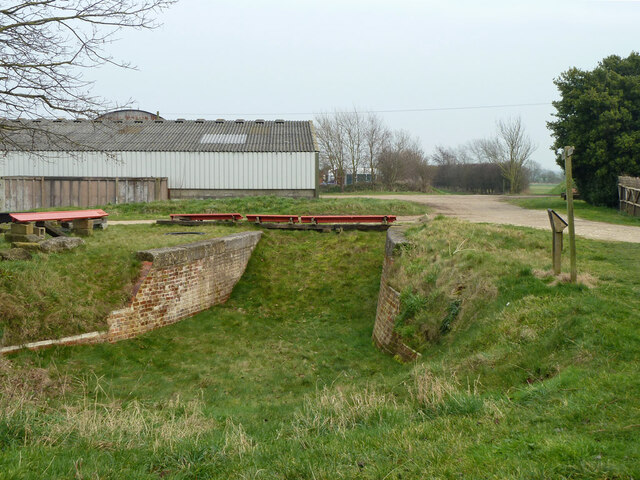
Nanny Copse
Wood, Forest in Sussex Arun
England
Nanny Copse
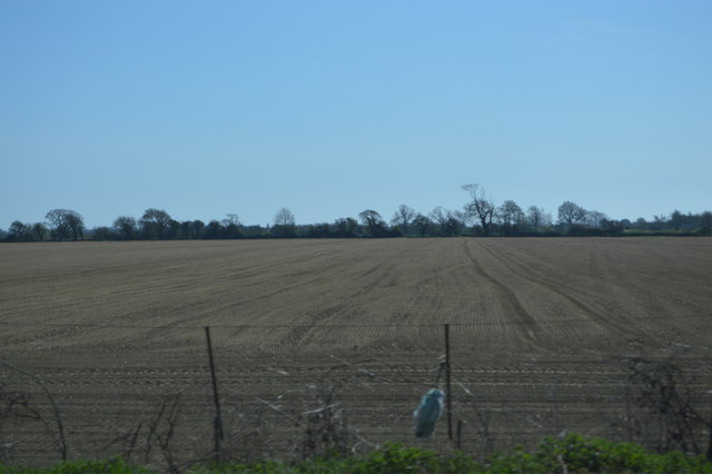
Nestled in the picturesque countryside of Sussex, Nanny Copse is a charming wood located in the southern region of England. Spanning across a vast area, this forested haven is a sanctuary for nature lovers and outdoor enthusiasts alike.
Characterized by its dense canopy of trees, Nanny Copse is predominantly composed of oak, beech, and ash, lending an air of tranquility and providing a habitat for a diverse range of wildlife. The forest floor is carpeted with a lush undergrowth of ferns, mosses, and wildflowers, creating a vibrant tapestry of colors throughout the seasons.
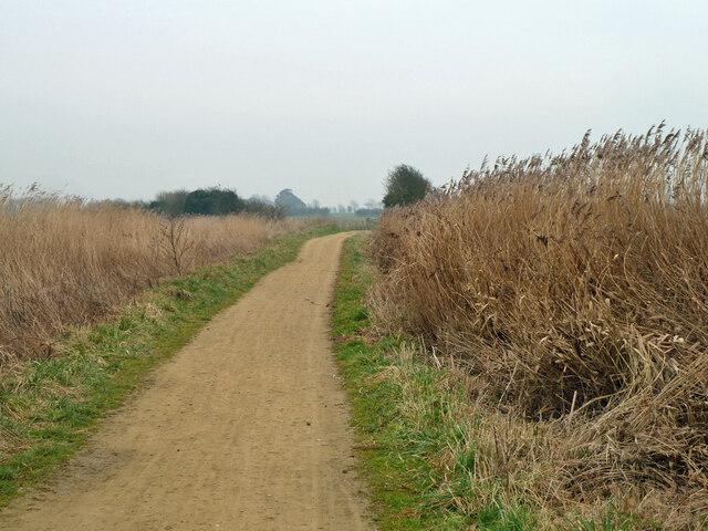
Walking through Nanny Copse, visitors can enjoy a network of winding trails that meander through the woods, offering a chance to explore the natural beauty at their own pace. The forest is home to a variety of bird species, including woodpeckers, owls, and songbirds, providing a symphony of melodies to accompany the peaceful ambiance.
For those seeking a deeper connection with nature, Nanny Copse offers several areas designated for picnics and relaxation. These serene spots provide the perfect opportunity to unwind, surrounded by the sights and sounds of the woodland.
Nanny Copse is a popular destination for families, as it offers a range of activities suitable for all ages. Younger visitors can partake in nature-inspired scavenger hunts, while older children and adults can engage in wildlife spotting or photography.
With its captivating beauty and diverse ecosystem, Nanny Copse stands as a testament to the natural wonders of the English countryside, inviting visitors to immerse themselves in its enchanting atmosphere.
If you have any feedback on the listing, please let us know in the comments section below.
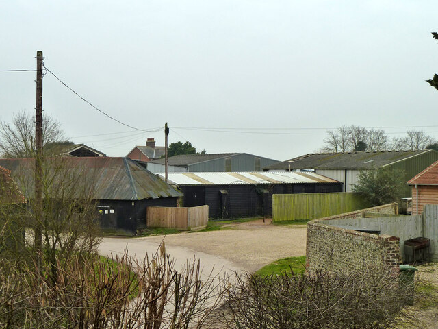
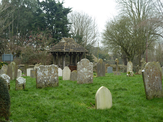
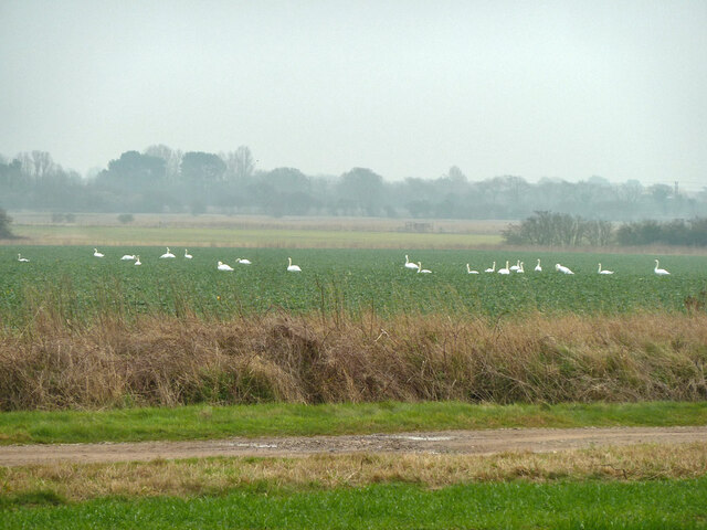
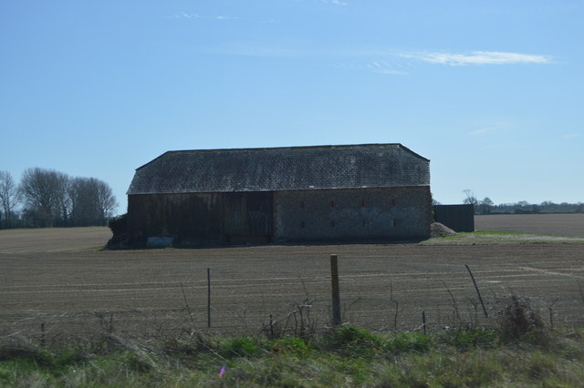
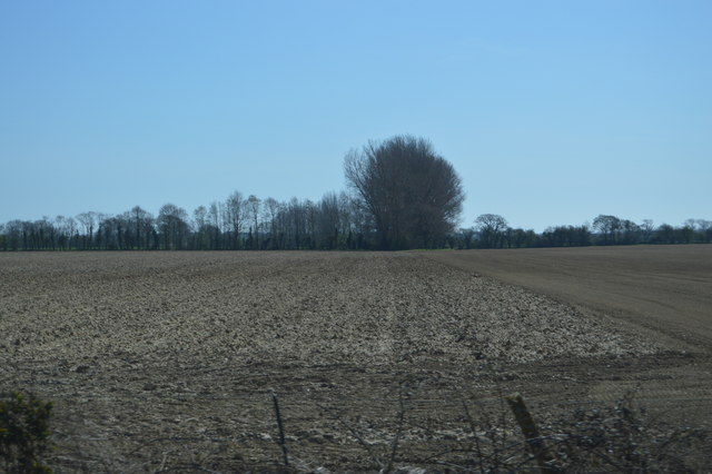
Nanny Copse Images
Images are sourced within 2km of 50.836923/-0.63210583 or Grid Reference SU9605. Thanks to Geograph Open Source API. All images are credited.
Nanny Copse is located at Grid Ref: SU9605 (Lat: 50.836923, Lng: -0.63210583)
Administrative County: West Sussex
District: Arun
Police Authority: Sussex
What 3 Words
///flanked.pills.reckons. Near Barnham, West Sussex
Nearby Locations
Related Wikis
Barnham, West Sussex
Barnham is a village, Anglican parish and former civil parish, now in the civil parish of Barnham and Eastergate, in the Arun district of West Sussex,...

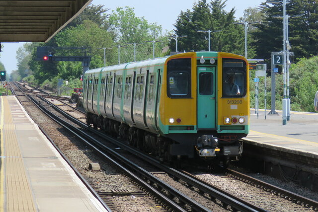
Barnham railway station
Barnham railway station is in Barnham, West Sussex, England around 5 miles (8.0 km) north of Bognor Regis. It is located on the West Coastway Line between...

St Philip Howard Catholic High School
St Philip Howard Catholic School is an Ofsted rated "outstanding' secondary school for 11-18 year olds located between Chichester and Arundel, in the town...

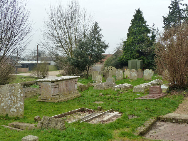
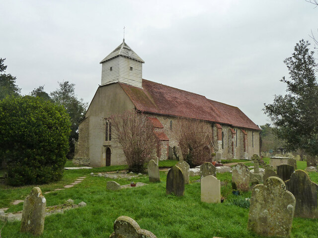
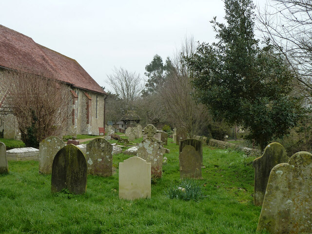
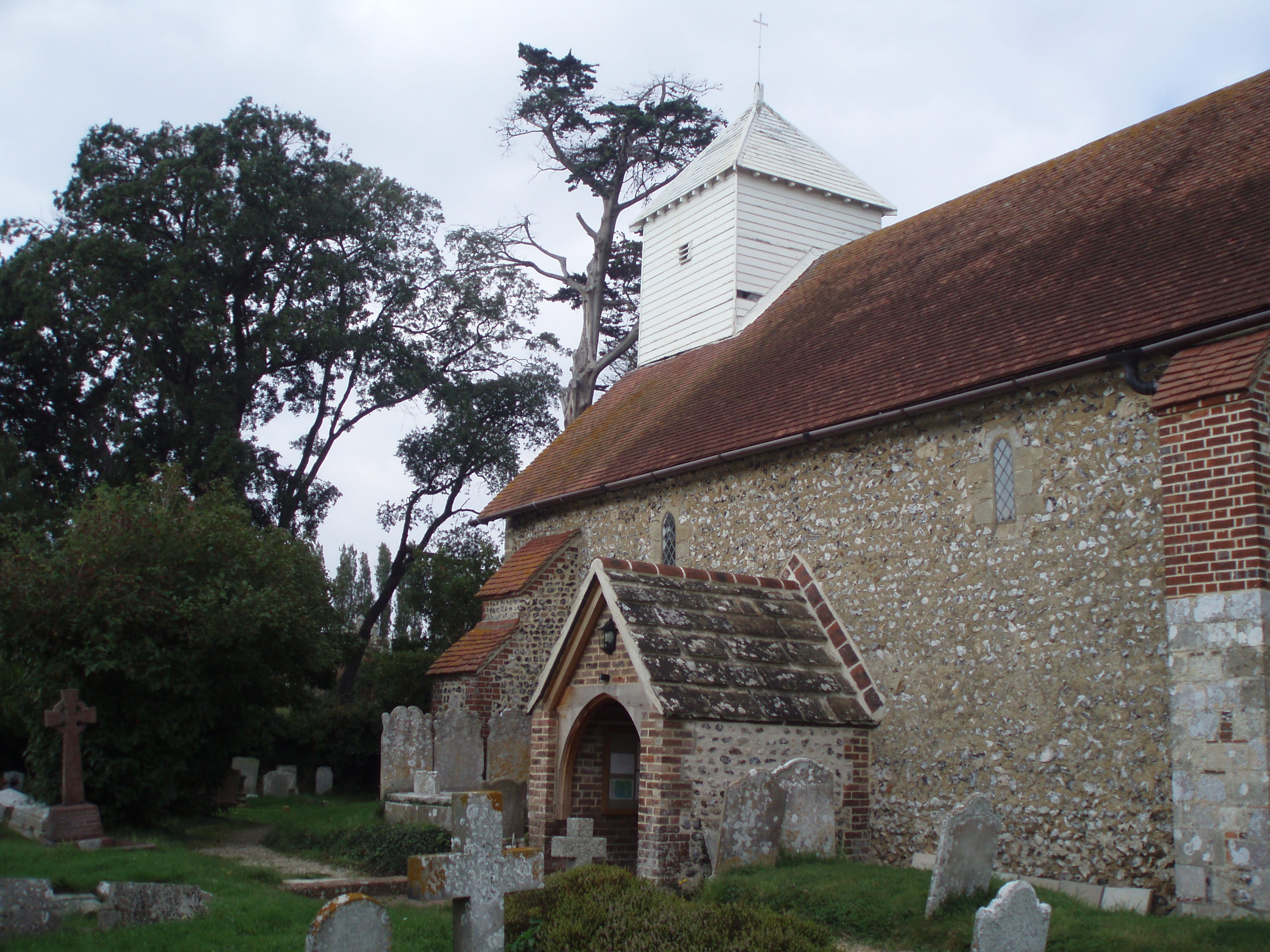
St Mary's Church, Walberton
St Mary's Church is an Anglican church in the village of Walberton in the district of Arun, one of seven local government districts in the English county...

John Baker's Mill, Barnham
John Baker's Mill (or Barnham Windmill) is a grade II listed tower mill at Barnham, Sussex, England, which was under restoration and is now to be converted...

Walberton
Walberton is a village and civil parish in the Arun District of West Sussex, England, 5 miles (8 km) north-west of Littlehampton, and south of the A27...
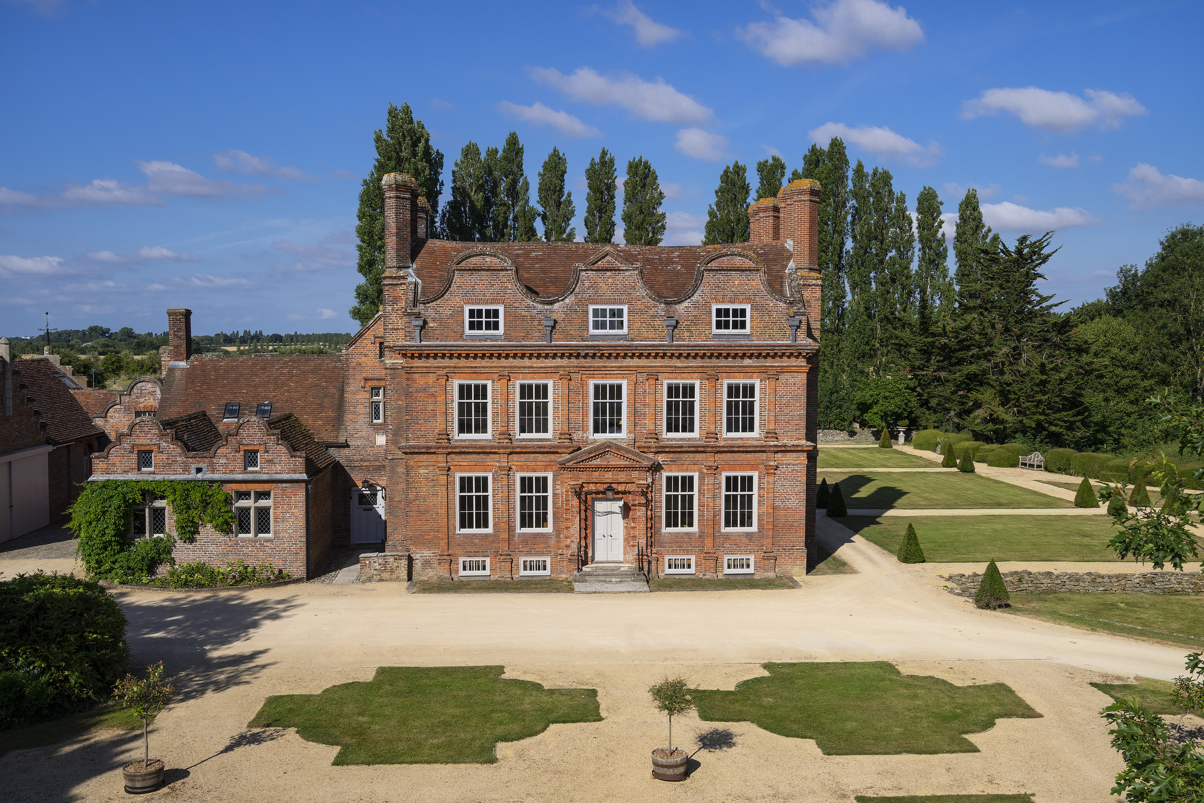
Barnham Court
Barnham Court is a 17th-century Artisan Mannerism house in Barnham, West Sussex, England. It is a Grade I listed building, and has many features similar...

Eastergate
Eastergate is a village, ecclesiastical parish and former civil parish, now in the parish of Barnham and Eastergate, in the Arun district of West Sussex...
Nearby Amenities
Located within 500m of 50.836923,-0.63210583Have you been to Nanny Copse?
Leave your review of Nanny Copse below (or comments, questions and feedback).