Basking Howe Belt
Wood, Forest in Yorkshire Scarborough
England
Basking Howe Belt
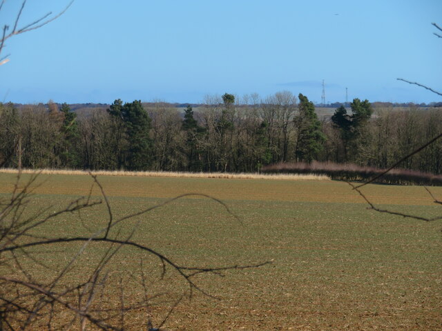
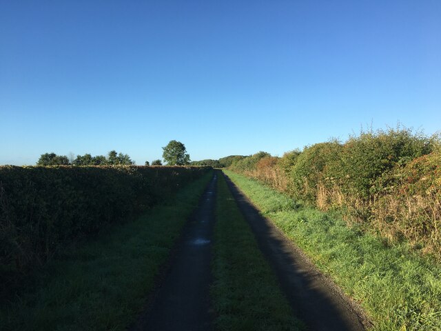
Basking Howe Belt is a scenic woodland located in Yorkshire, England. Nestled in the heart of the Yorkshire Dales National Park, this enchanting forest is renowned for its natural beauty and tranquility.
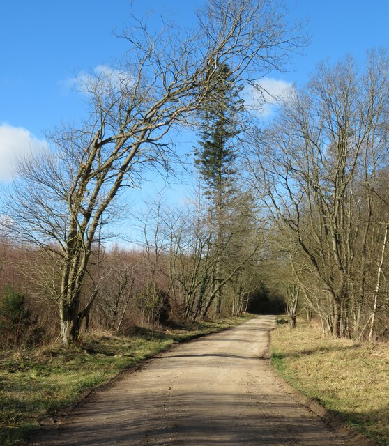
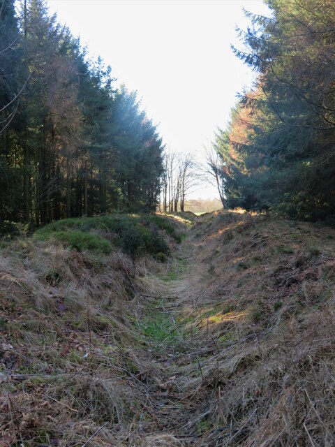
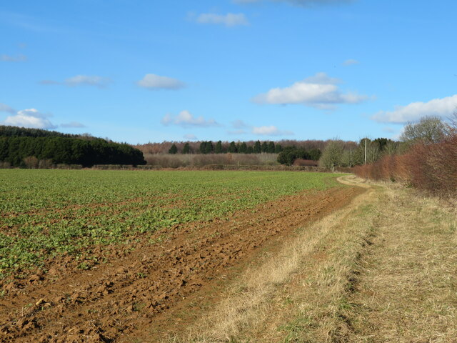
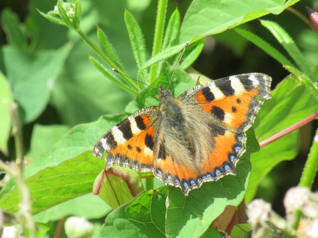
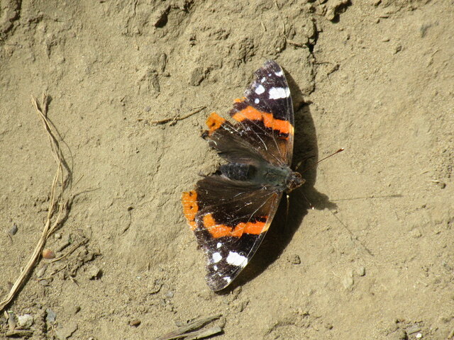
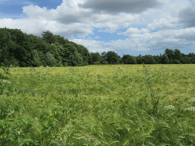
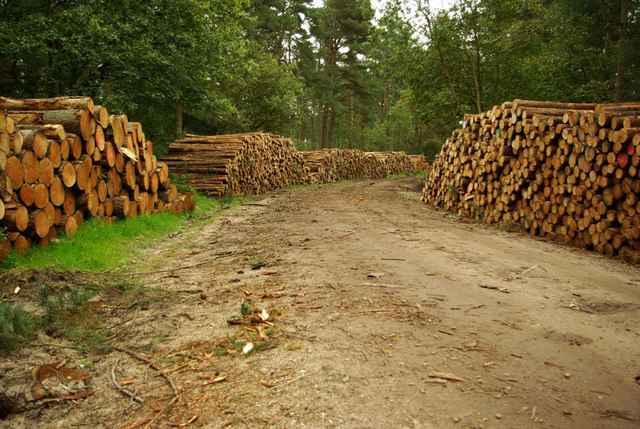
Covering an area of approximately 10 square kilometers, Basking Howe Belt is home to a diverse range of flora and fauna. The forest is predominantly composed of deciduous trees, including oak, beech, and birch, which create a captivating display of vibrant colors during the autumn season. The woodland floor is adorned with an array of wildflowers and mosses, adding to the picturesque landscape.
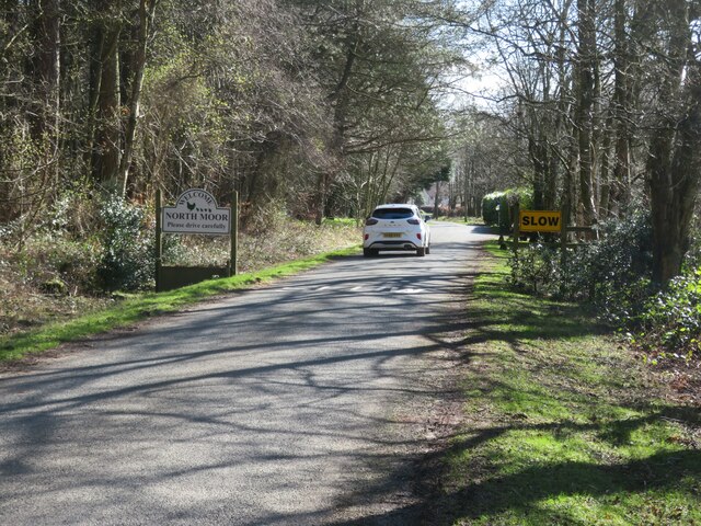
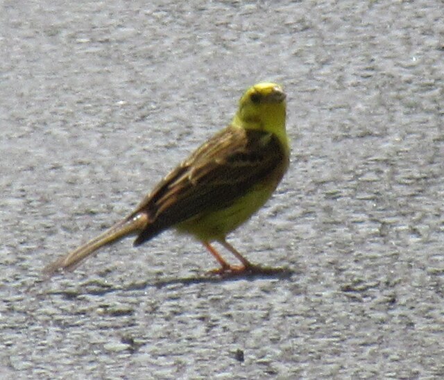
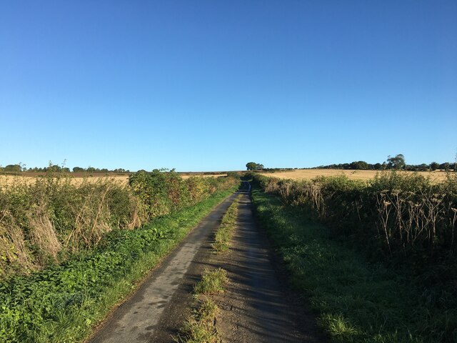
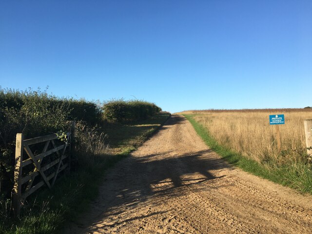
The forest is crisscrossed by a network of well-maintained walking trails, making it a popular destination for hikers and nature enthusiasts. These trails offer visitors the opportunity to explore the forest's hidden gems, including secluded streams, charming ponds, and ancient stone formations. Along the way, visitors may also encounter various wildlife species such as deer, rabbits, and a wide variety of bird species.
Basking Howe Belt provides a peaceful sanctuary for those seeking refuge from the hustle and bustle of daily life. Its serene atmosphere, coupled with the gentle sounds of nature, makes it an ideal spot for meditation, picnicking, or simply immersing oneself in the tranquility of the surroundings.
In addition to its natural beauty, Basking Howe Belt also holds historical significance. The forest is dotted with remnants of ancient settlements and stone structures, serving as a testament to its rich cultural heritage.
Overall, Basking Howe Belt in Yorkshire is a captivating woodland that offers visitors a chance to reconnect with nature and experience the timeless beauty of the British countryside.
If you have any feedback on the listing, please let us know in the comments section below.
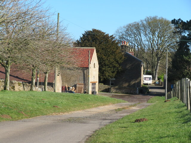
Basking Howe Belt Images
Images are sourced within 2km of 54.266901/-0.5301639 or Grid Reference SE9586. Thanks to Geograph Open Source API. All images are credited.


Basking Howe Belt is located at Grid Ref: SE9586 (Lat: 54.266901, Lng: -0.5301639)
Division: North Riding
Administrative County: North Yorkshire
District: Scarborough
Police Authority: North Yorkshire
What 3 Words
///bluffing.enrolling.masters. Near East Ayton, North Yorkshire
Nearby Locations
Related Wikis
Wykeham Forest
Wykeham Forest is a 2,760-acre (1,115-hectare) woodland 6 miles (9.7 km) in the North York Moors National Park, near to Wykeham, west of Scarborough, England...

Sawdon
Sawdon is a village in the civil parish of Brompton, in North Yorkshire, England, about 8 miles (13 km) west of Scarborough.The village lies 1.75 miles...

Forge Valley
Forge Valley is a national nature reserve in the Scarborough district of North Yorkshire, England, located within the North York Moors National Park on...
Hutton Buscel
Hutton Buscel is a village and civil parish in the Scarborough district of North Yorkshire, England. According to the 2011 UK census, Hutton Buscel parish...

Wykeham railway station
Wykeham railway station was situated on the North Eastern Railway's Pickering to Seamer branch line. It served the villages of Wykeham and Ruston in North...
Wykeham, Scarborough
Wykeham is a small village and civil parish in the Scarborough district of North Yorkshire, England, on the outskirts of Scarborough and the southern...

Ayton Castle, North Yorkshire
Ayton Castle is a ruined Grade I listed 14th century pele tower castle near West Ayton, North Yorkshire, England. == Location == The castle is sited at...

Suffield-cum-Everley
Suffield-cum-Everley is a civil parish in the Scarborough district of North Yorkshire, England. According to the 2011 UK census, the parish (including...
Have you been to Basking Howe Belt?
Leave your review of Basking Howe Belt below (or comments, questions and feedback).