Bee Dale

Valley in Yorkshire Scarborough

England

Bee Dale

Moor Dyke, Wykeham Forest This is the northern of two dykes in Wykeham Forest called Moor Dyke, viewed here from Great Moor Road. It is a cross ridge dyke spanning between Bee Dale to the south west and Yedmandale to the north east. It is probably a late Prehistoric property boundary.  Moor Dyke is a Scheduled Monument.
Moor Dyke, Wykeham Forest Credit: Christopher Hall

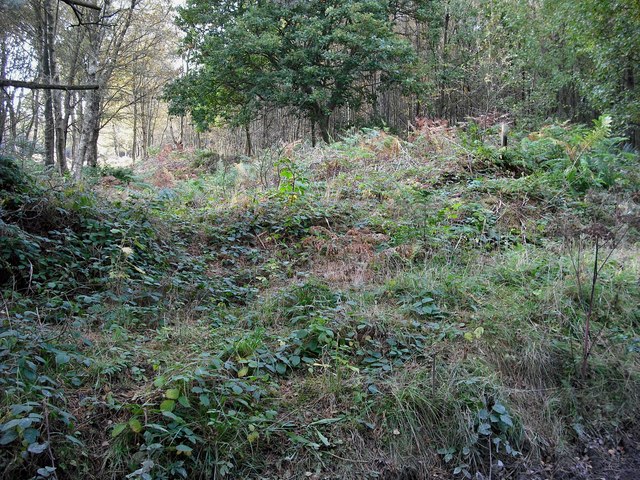
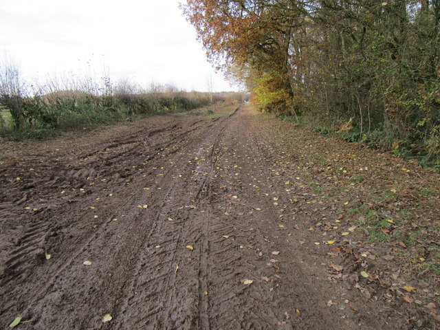
Bee Dale, Yorkshire, also commonly referred to as Bee Dale Valley, is a picturesque and enchanting location nestled in the heart of the Yorkshire Dales National Park in northern England. This quaint valley is renowned for its natural beauty, with rolling hills, lush green meadows, and meandering streams that create a serene and idyllic landscape.

Situated near the village of Thornton Rust, Bee Dale is a haven for nature lovers, hikers, and outdoor enthusiasts. The valley is home to a diverse range of flora and fauna, including rare wildflowers, birds, and small mammals. The tranquil ambiance and unspoiled surroundings make it a perfect destination for those seeking peace and tranquility away from the hustle and bustle of city life.

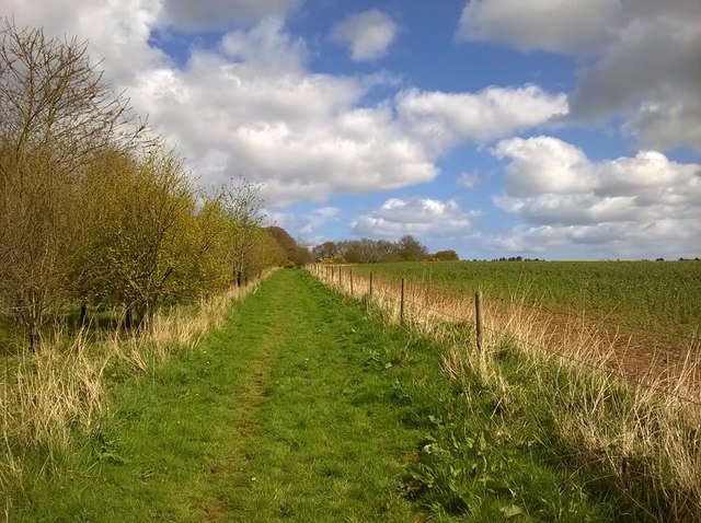
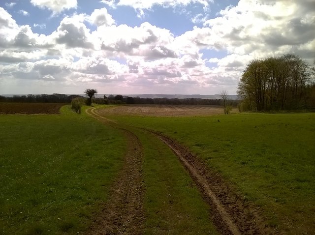
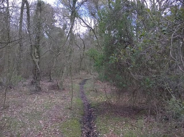
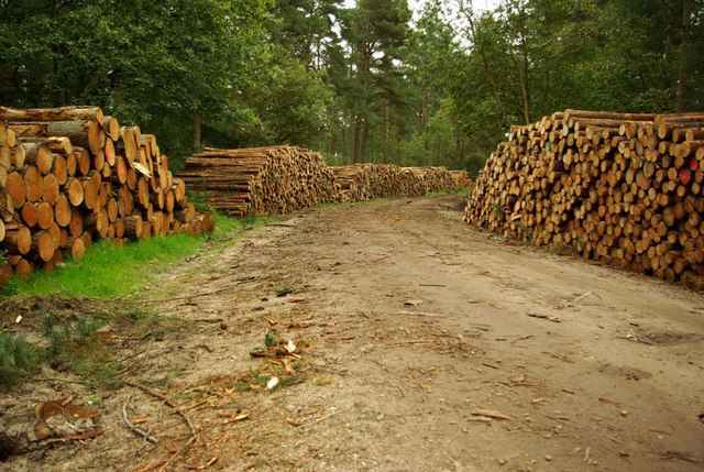
The valley boasts a network of walking trails that allow visitors to explore its natural wonders. One of the most popular routes is the Bee Dale Circular Walk, which takes hikers through the valley and offers breathtaking views of the surrounding countryside. The trail winds past ancient woodlands, babbling brooks, and charming stone farmhouses, providing a true taste of rural Yorkshire.

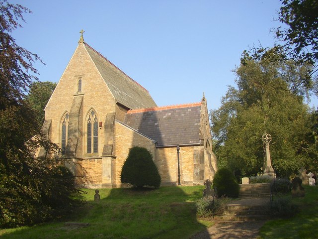
In addition to its natural attractions, Bee Dale is also home to a number of historical landmarks. The ruins of Bee Dale Abbey, a medieval monastery dating back to the 12th century, can be found in the valley. This ancient site adds a touch of mystery and intrigue to the area, attracting history enthusiasts and archaeologists alike.

Overall, Bee Dale, Yorkshire, is a hidden gem that showcases the beauty of the Yorkshire Dales. Whether it's for a leisurely stroll, a challenging hike, or simply a peaceful retreat into nature, this valley offers a truly unforgettable experience for visitors of all ages.

If you have any feedback on the listing, please let us know in the comments section below.
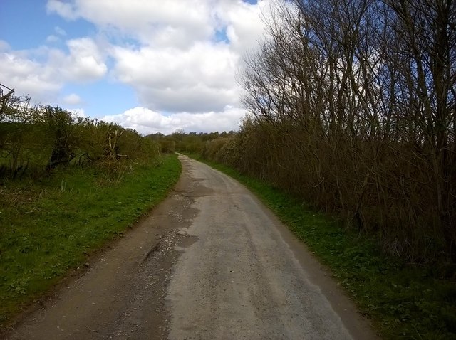
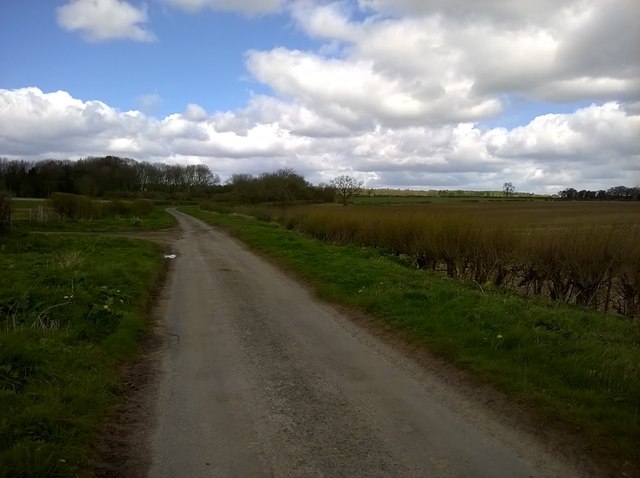
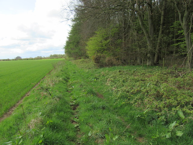
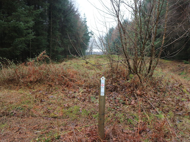
Bee Dale Images

Images are sourced within 2km of 54.262181/-0.53011683 or Grid Reference SE9586. Thanks to Geograph Open Source API. All images are credited.

Moor Dyke, Wykeham Forest This is the northern of two dykes in Wykeham Forest called Moor Dyke, viewed here from Great Moor Road. It is a cross ridge dyke spanning between Bee Dale to the south west and Yedmandale to the north east. It is probably a late Prehistoric property boundary.  Moor Dyke is a Scheduled Monument.
Moor Dyke, Wykeham Forest
This is the northern of two dykes in Wykeham Forest called Moor Dyke, viewed here from Great Moor Road. It is a cross ridge dyke spanning between Bee Dale to the south west and Yedmandale to the north east. It is probably a late Prehistoric property boundary. Moor Dyke is a Scheduled Monument.
Evening  sun  on  ploughed  field Wykeham Grange farm beyond
Evening sun on ploughed field
Wykeham Grange farm beyond
Low  sun  creating  shadows  on  Moor  Road This runs down to Wykeham village, the Vale of Pickering is before you and beyond the Yorkshire Wolds.
Low sun creating shadows on Moor Road
This runs down to Wykeham village, the Vale of Pickering is before you and beyond the Yorkshire Wolds.
Kimlin Slack This bridleway runs alongside Kimlin Slack.
Kimlin Slack
This bridleway runs alongside Kimlin Slack.
Coverdale Moor Looking towards the Aytons.
Coverdale Moor
Looking towards the Aytons.
Bridleway in Wykeham Forest Looking NE.
Bridleway in Wykeham Forest
Looking NE.
Great Moor Road Looking north.
Great Moor Road
Looking north.
Great Moor Road 2 The road is tarmac at this point, but it turns into a gravel track later on.
Great Moor Road 2
The road is tarmac at this point, but it turns into a gravel track later on.
Moor Road Looking north.
Moor Road
Looking north.
Logging in Wykeham Forest A bridleway goes along this track.
Logging in Wykeham Forest
A bridleway goes along this track.
Field side bridleway Alongside Cockmoor Plantation.
Field side bridleway
Alongside Cockmoor Plantation.
Ruston Moor Road Looking south.
Ruston Moor Road
Looking south.
Rise Dykes linear earthwork This is the point where the Rise Dykes linear earthwork cross Moor Road, the point being marked by a Historic Monument post erected by the Forestry Commission.
The Rise Dikes are a double dyked ie two ditches part of a prehistoric boundary, dividing areas between Troutsdale in the west and the Derwent valley in the east possibly territorial land division.
Rise Dykes linear earthwork
This is the point where the Rise Dykes linear earthwork cross Moor Road, the point being marked by a Historic Monument post erected by the Forestry Commission. The Rise Dikes are a double dyked ie two ditches part of a prehistoric boundary, dividing areas between Troutsdale in the west and the Derwent valley in the east possibly territorial land division.
Detail of the Rise Dykes This is the point where the Rise Dykes shown in <a href="https://www.geograph.org.uk/photo/6109364">SE9486 : Rise Dykes linear earthwork</a> leave the forestry land and cross an arable field where they have been entirely ploughed out
Detail of the Rise Dykes
This is the point where the Rise Dykes shown in SE9486 : Rise Dykes linear earthwork leave the forestry land and cross an arable field where they have been entirely ploughed out
Far Lane Looking NW.
Far Lane
Looking NW.
Great Moor Road Very muddy in places.
Great Moor Road
Very muddy in places.
Rise Dikes Ancient earthworks in Wykeham Forest.
Rise Dikes
Ancient earthworks in Wykeham Forest.
Meadow Brown A Meadow Brown in an overgrown area next to Great Moor Road.
Meadow Brown
A Meadow Brown in an overgrown area next to Great Moor Road.
Show me another place!

Bee Dale is located at Grid Ref: SE9586 (Lat: 54.262181, Lng: -0.53011683)

Division: North Riding

Administrative County: North Yorkshire

District: Scarborough

Police Authority: North Yorkshire

What 3 Words

///interlude.evolves.shorter. Near East Ayton, North Yorkshire

Related Wikis

Sawdon

Sawdon is a village in the civil parish of Brompton, in North Yorkshire, England, about 8 miles (13 km) west of Scarborough.The village lies 1.75 miles...

Wykeham Forest

Wykeham Forest is a 2,760-acre (1,115-hectare) woodland 6 miles (9.7 km) in the North York Moors National Park, near to Wykeham, west of Scarborough, England...

Hutton Buscel

Hutton Buscel is a village and civil parish in the Scarborough district of North Yorkshire, England. According to the 2011 UK census, Hutton Buscel parish...

Wykeham railway station

Wykeham railway station was situated on the North Eastern Railway's Pickering to Seamer branch line. It served the villages of Wykeham and Ruston in North...

Forge Valley

Forge Valley is a national nature reserve in the Scarborough district of North Yorkshire, England, located within the North York Moors National Park on...

Wykeham, Scarborough

Wykeham is a small village and civil parish in the Scarborough district of North Yorkshire, England, on the outskirts of Scarborough and the southern...

Ruston, North Yorkshire

Ruston is a small village in the Scarborough district of North Yorkshire, England, forming part of the civil parish of Wykeham. The village is situated...

Ayton Castle, North Yorkshire

Ayton Castle is a ruined Grade I listed 14th century pele tower castle near West Ayton, North Yorkshire, England. == Location == The castle is sited at...

Have you been to Bee Dale?

Leave your review of Bee Dale below (or comments, questions and feedback).