Bullock Spinney
Wood, Forest in Rutland
England
Bullock Spinney

Bullock Spinney is a picturesque woodland located in Rutland, England. Situated amidst the charming countryside, it covers an area of approximately 15 acres and is known for its dense forest and diverse wildlife.
The woodland is characterized by a mix of deciduous and coniferous trees, including oak, beech, birch, and spruce. These trees provide a beautiful canopy that changes with the seasons, offering a stunning display of colors in autumn and a lush greenery in spring and summer. The forest floor is adorned with a variety of wildflowers, creating a vibrant and enchanting atmosphere.
Bullock Spinney is a haven for wildlife enthusiasts, as it is home to a wide range of animal species. Visitors may spot deer, foxes, badgers, and rabbits, as well as a variety of bird species such as owls, woodpeckers, and songbirds. The woodland also attracts numerous butterflies and insects, adding to its natural biodiversity.
The wood is crisscrossed by a network of walking trails, allowing visitors to explore its beauty at their own pace. These paths are well-maintained and offer stunning views of the surrounding countryside. Additionally, there are several picnic spots and seating areas scattered throughout the woodland, providing a perfect place to relax and enjoy the tranquility of nature.
Bullock Spinney is a popular destination for nature lovers, photographers, and families seeking a peaceful retreat. Its natural beauty, diverse wildlife, and serene ambiance make it a must-visit location in Rutland for those looking to connect with nature and escape from the hustle and bustle of everyday life.
If you have any feedback on the listing, please let us know in the comments section below.
Bullock Spinney Images
Images are sourced within 2km of 52.6486/-0.59875783 or Grid Reference SK9406. Thanks to Geograph Open Source API. All images are credited.


Bullock Spinney is located at Grid Ref: SK9406 (Lat: 52.6486, Lng: -0.59875783)
Unitary Authority: Rutland
Police Authority: Leicestershire
What 3 Words
///altitude.fast.replying. Near Empingham, Rutland
Nearby Locations
Related Wikis
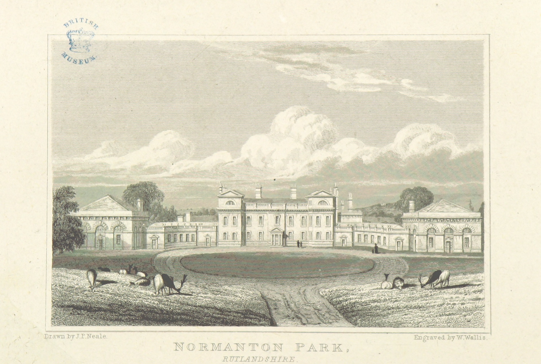
Normanton Hall
Normanton Hall was a large, now demolished, country house at Normanton in Rutland. == History == Normanton was the possession of the De Normanvilles for...

Normanton, Rutland
Normanton is a village and civil parish on the eastern shore of Rutland Water in the county of Rutland in the East Midlands of England. The population...
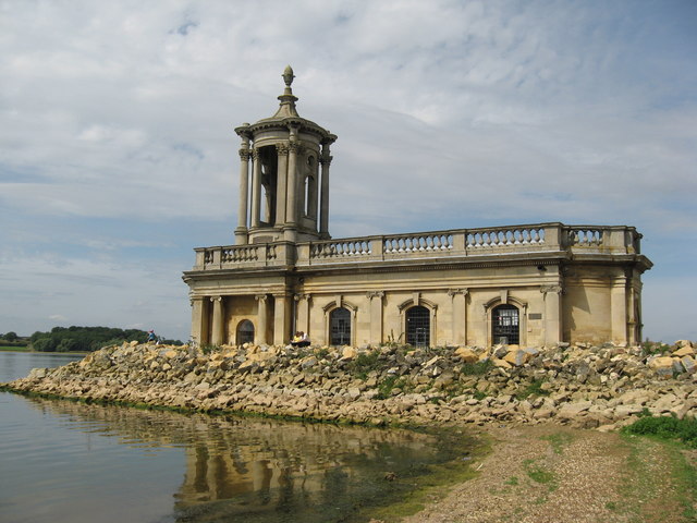
St Matthew's Church, Normanton
St Matthew's Church is a de-consecrated church in Normanton, Rutland. It is now on the shore of Rutland Water. The building is Grade II listed. == History... ==

St Peter's Church, Empingham
St Peter's Church is a church in Empingham, Rutland. It is a Grade I listed building. == History == The church was mostly built in the 13th century but...
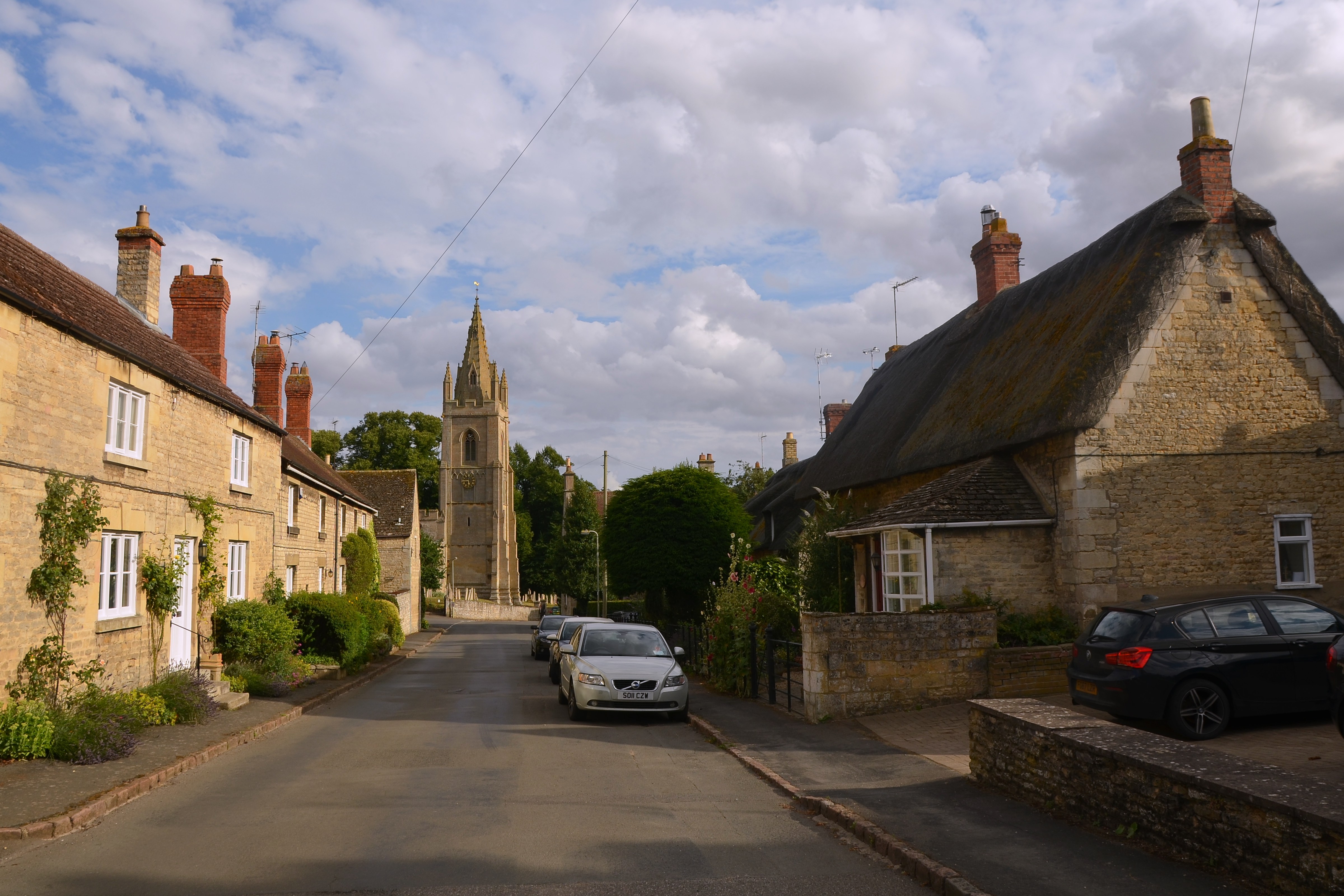
Empingham
Empingham is a village in the county of Rutland in the East Midlands of England. The population of the civil parish was 815 at the 2001 census including...
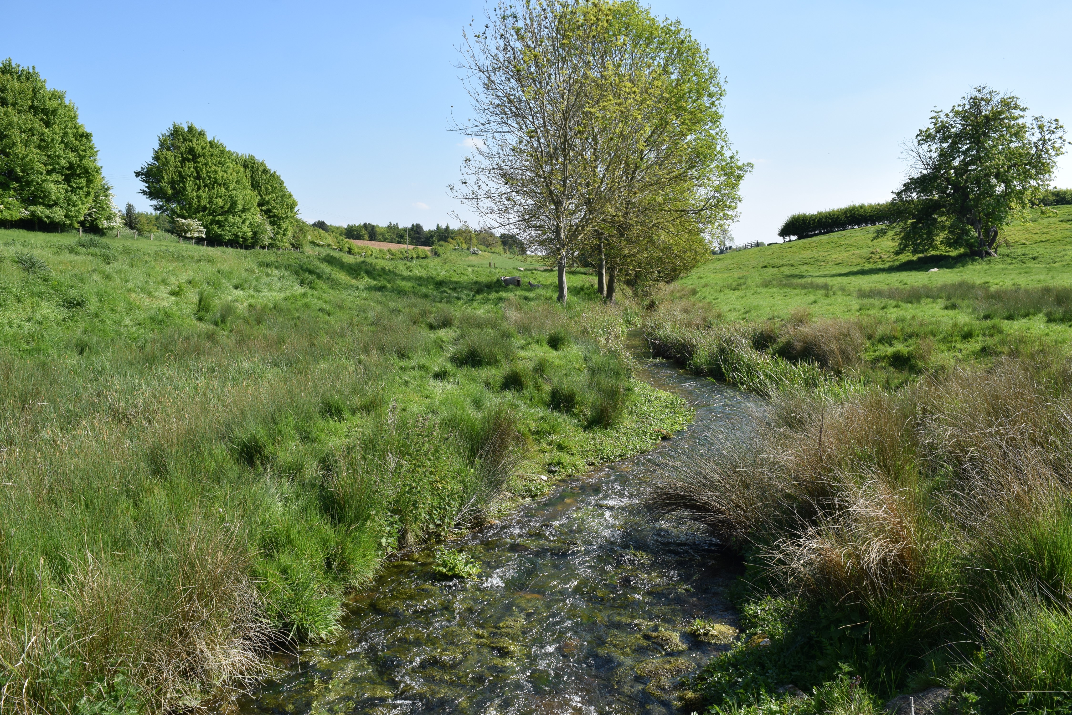
North Brook, Rutland
The North Brook is a small watercourse in Rutland in the East Midlands of England. It is a tributary of the River Gwash and part of the River Welland catchment...
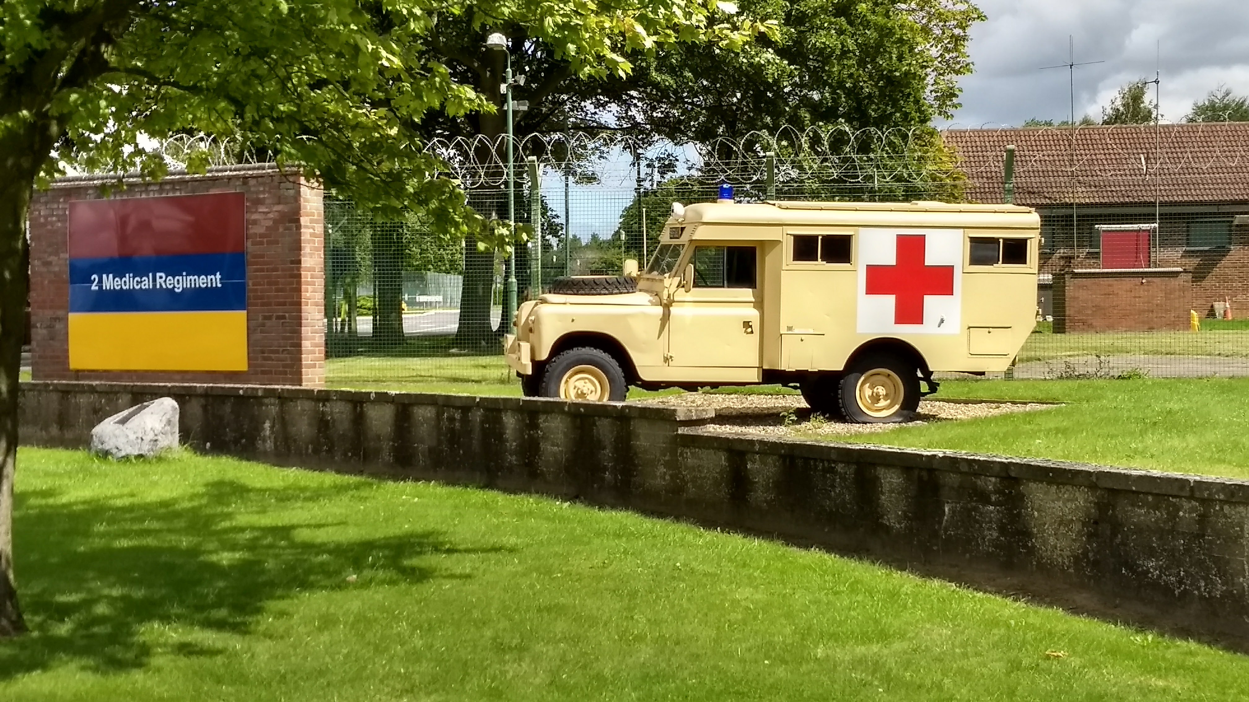
St George's Barracks, North Luffenham
St George's Barracks is a British Army installation near to the village of North Luffenham in Rutland, England. It is set to close in 2026. == History... ==
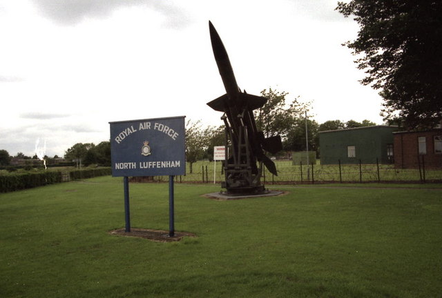
RAF North Luffenham
Royal Air Force North Luffenham or more simply RAF North Luffenham is a former Royal Air Force station in Rutland, England. It is near to the villages...
Nearby Amenities
Located within 500m of 52.6486,-0.59875783Have you been to Bullock Spinney?
Leave your review of Bullock Spinney below (or comments, questions and feedback).