Black Spinney
Wood, Forest in Rutland
England
Black Spinney

Black Spinney is a small woodland located in Rutland, a county in the East Midlands region of England. Situated near the village of Cottesmore, this forested area covers approximately 10 hectares of land. The woodland is predominantly composed of deciduous trees, such as oak, beech, and birch, which create a lush and diverse habitat for a variety of flora and fauna.
The name "Black Spinney" is derived from the dense canopy of trees that cast deep shadows, giving the impression of darkness within the woodland. It is a popular destination for nature enthusiasts, walkers, and wildlife observers. The forest's well-maintained footpaths and trails provide opportunities for visitors to explore the peaceful surroundings and appreciate the natural beauty of the area.
The diverse range of plant species found in Black Spinney supports a rich ecosystem. Wildflowers, including bluebells and primroses, bloom in the spring, adding vibrant splashes of color to the forest floor. The woodland is home to various bird species, such as woodpeckers, owls, and songbirds, which can be heard singing throughout the year. Additionally, small mammals like foxes, squirrels, and badgers can often be spotted in the undergrowth.
Black Spinney offers a tranquil escape from the hustle and bustle of urban life. Its natural beauty and peaceful ambiance make it an ideal location for picnics, leisurely walks, and nature photography. The forest is managed by local authorities who ensure its conservation and protection, making it a cherished natural asset in Rutland.
If you have any feedback on the listing, please let us know in the comments section below.
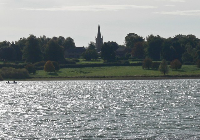
Black Spinney Images
Images are sourced within 2km of 52.649591/-0.60731458 or Grid Reference SK9406. Thanks to Geograph Open Source API. All images are credited.


Black Spinney is located at Grid Ref: SK9406 (Lat: 52.649591, Lng: -0.60731458)
Unitary Authority: Rutland
Police Authority: Leicestershire
What 3 Words
///pirate.depths.crank. Near Empingham, Rutland
Nearby Locations
Related Wikis
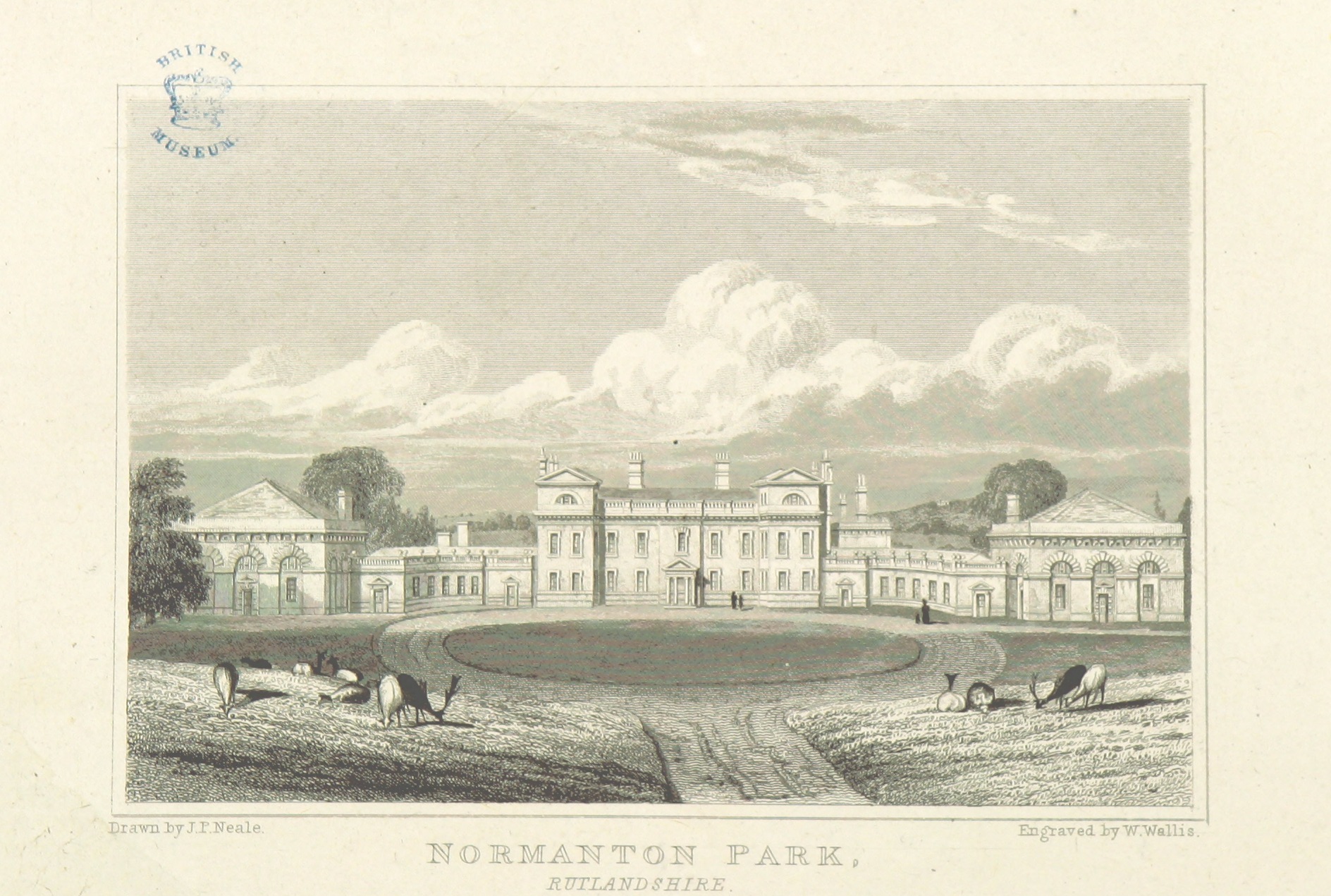
Normanton Hall
Normanton Hall was a large, now demolished, country house at Normanton in Rutland. == History == Normanton was the possession of the De Normanvilles for...
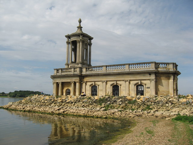
St Matthew's Church, Normanton
St Matthew's Church is a de-consecrated church in Normanton, Rutland. It is now on the shore of Rutland Water. The building is Grade II listed. == History... ==

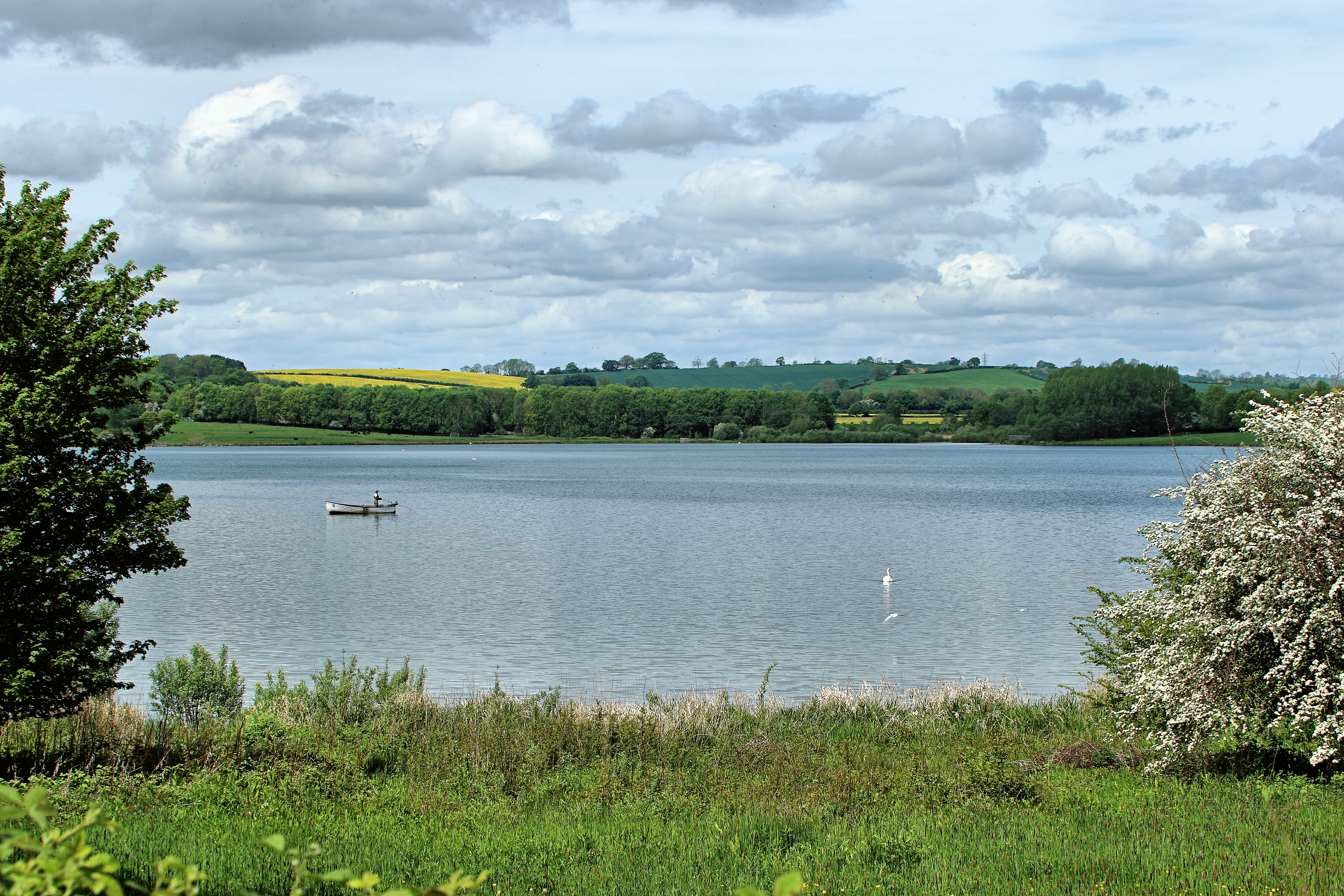
Normanton, Rutland
Normanton is a village and civil parish on the eastern shore of Rutland Water in the county of Rutland in the East Midlands of England. The population...
List of Sites of Special Scientific Interest in Rutland
Rutland is a landlocked ceremonial county in the East Midlands of England. In 1974 it was merged to be part of the administrative county of Leicestershire...
Rutland
Rutland (), archaically Rutlandshire, is a ceremonial county and unitary authority in the East Midlands of England. It borders Leicestershire to the north...
Edith Weston
Edith Weston is a village and civil parish in the county of Rutland in the East Midlands of England. The population of the civil parish was 1,042 at the...
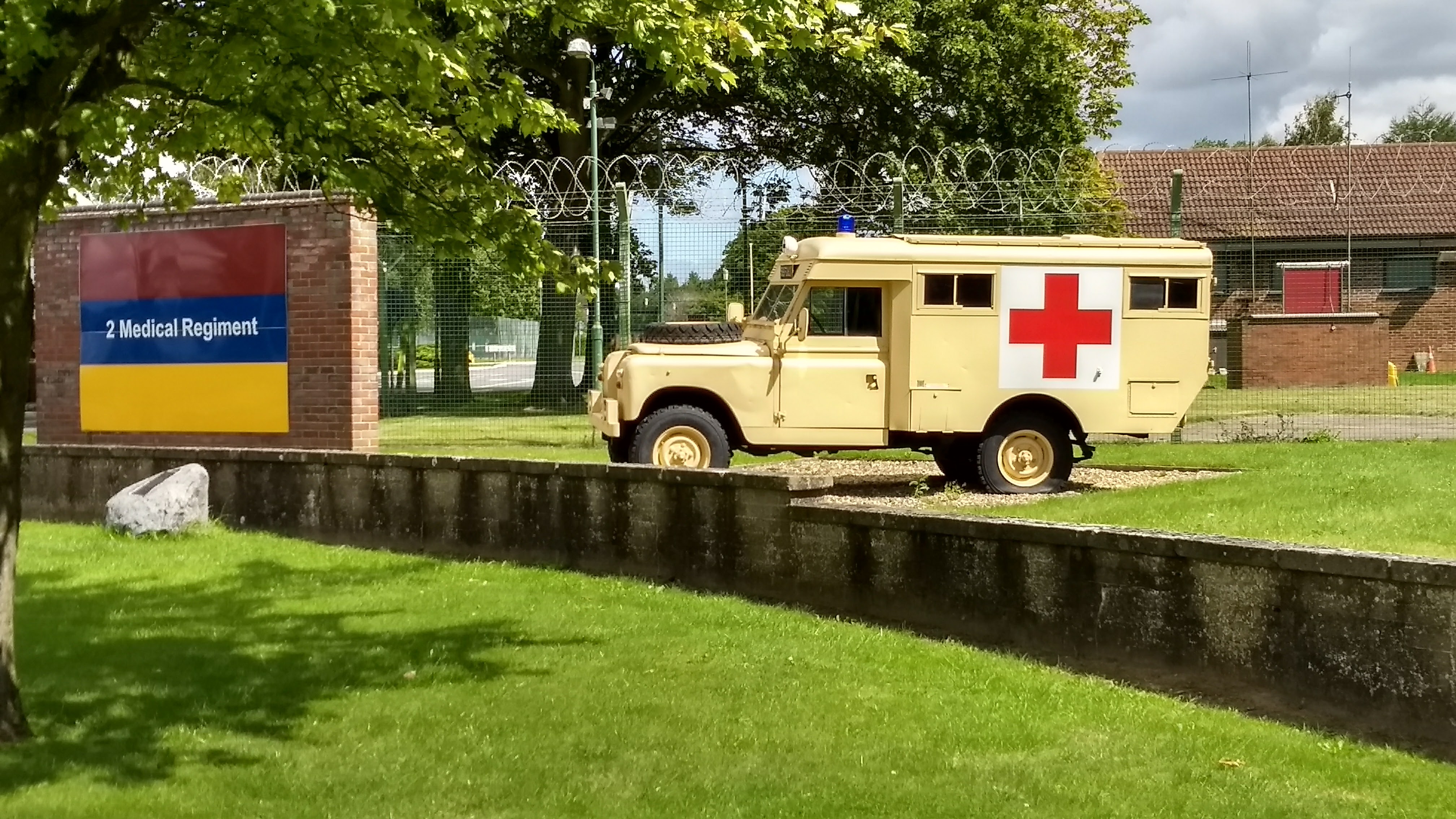
St George's Barracks, North Luffenham
St George's Barracks is a British Army installation near to the village of North Luffenham in Rutland, England. It is set to close in 2026. == History... ==
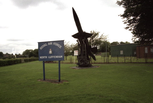
RAF North Luffenham
Royal Air Force North Luffenham or more simply RAF North Luffenham is a former Royal Air Force station in Rutland, England. It is near to the villages...
Nearby Amenities
Located within 500m of 52.649591,-0.60731458Have you been to Black Spinney?
Leave your review of Black Spinney below (or comments, questions and feedback).