Griff's Plantation

Wood, Forest in Lincolnshire South Kesteven

England

Griff's Plantation

St.Mary Magdalen's church, Old Somerby, Lincs. The tower and two bay south arcade are Early English, but there's a Norman chancel arch and Perpendicular clerestory. A tranquil setting on the edge of the village with a fine rectory for company.
St.Mary Magdalen's church, Old Somerby, Lincs. Credit: Richard Croft

Griff's Plantation, located in Lincolnshire, is a picturesque woodland area renowned for its natural beauty and rich history. Situated in the heart of the county, the plantation covers a vast expanse of land and is a popular destination for nature enthusiasts and history buffs alike.

The plantation is primarily composed of dense woodlands, with a variety of tree species such as oak, ash, and birch dominating the landscape. These towering trees provide a haven for a wide array of wildlife, including birds, mammals, and insects, making it a paradise for nature lovers. Visitors can explore the plantation through a network of well-maintained walking trails, allowing them to immerse themselves in the tranquility of the forest.

Beyond its natural allure, Griff's Plantation holds historical significance as well. It is believed that the land has been used for agricultural purposes for centuries, with some remnants of old farm buildings still visible today. The plantation also played a crucial role during the industrial revolution, as the wood obtained from here was used in local industries and for building purposes.

In recent years, Griff's Plantation has become a popular spot for outdoor activities such as hiking, cycling, and birdwatching. The plantation boasts several picnic areas and viewpoints, allowing visitors to take in the breathtaking scenery while enjoying a leisurely day out. Additionally, guided tours and educational programs are often offered to provide visitors with a deeper understanding of the plantation's history and ecological importance.

Overall, Griff's Plantation in Lincolnshire offers a unique blend of natural beauty and historical significance, making it a must-visit destination for those seeking a tranquil escape into nature.

If you have any feedback on the listing, please let us know in the comments section below.

Griff's Plantation Images

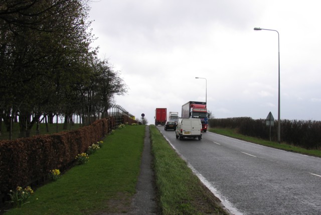
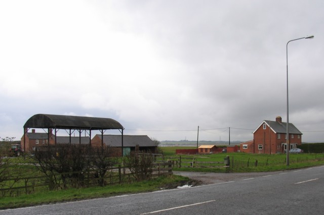
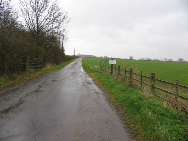
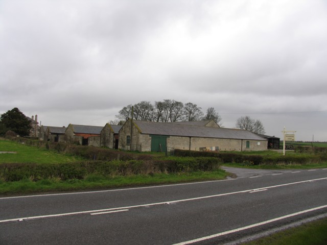
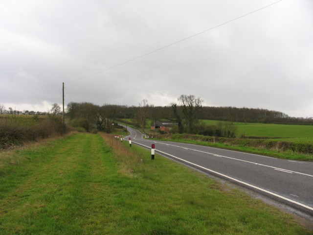
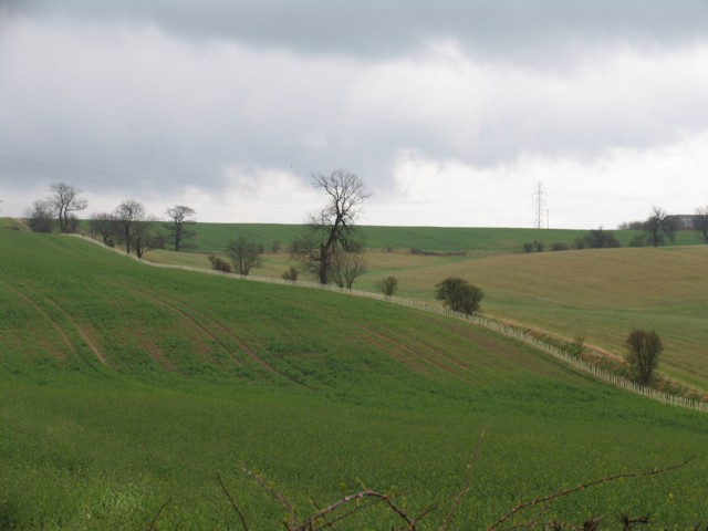
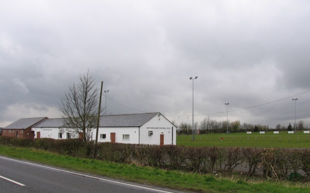
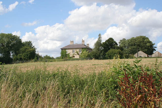
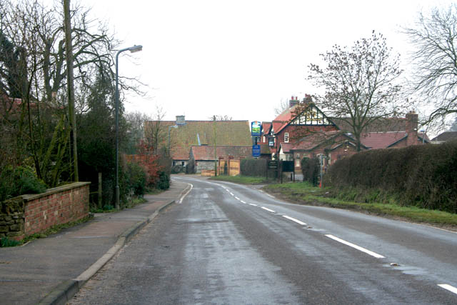
Images are sourced within 2km of 52.885717/-0.5910507 or Grid Reference SK9432. Thanks to Geograph Open Source API. All images are credited.

St.Mary Magdalen's church, Old Somerby, Lincs. The tower and two bay south arcade are Early English, but there's a Norman chancel arch and Perpendicular clerestory. A tranquil setting on the edge of the village with a fine rectory for company.
St.Mary Magdalen's church, Old Somerby, Lincs.
The tower and two bay south arcade are Early English, but there's a Norman chancel arch and Perpendicular clerestory. A tranquil setting on the edge of the village with a fine rectory for company.
A52 Somerby Hill The driver of the large red HGV must have been a Geograph enthusiast as he enthusiastically waved his arms around and sounded his horn as he paused behind the photographer's parked car on the hill.
A52 Somerby Hill
The driver of the large red HGV must have been a Geograph enthusiast as he enthusiastically waved his arms around and sounded his horn as he paused behind the photographer's parked car on the hill.
Spittalgate Heath Farm
Driveway to Poplar Farm
Woodnook Farm
Woodnook Farm
Ermine Street Ermine Street with Ponton Park Woods in the background.
Ermine Street
Ermine Street with Ponton Park Woods in the background.
Fields opposite Woodnook Farm Newly planted hedges to be noted.
Fields opposite Woodnook Farm
Newly planted hedges to be noted.
Kesteven Rugby Football Club Several rugby football pitches and a large club house.
Kesteven Rugby Football Club
Several rugby football pitches and a large club house.
A52/B6403 roundabout junction The very busy A52 road crosses the B6403 Ermine Street east of Grantham.
A52/B6403 roundabout junction
The very busy A52 road crosses the B6403 Ermine Street east of Grantham.
Woodnook Farm house From the lane leading to Little Ponton through Woodnook valley.
Woodnook Farm house
From the lane leading to Little Ponton through Woodnook valley.
Countryside at Woodnook Valley The land in this small steep valley is classed as access land under the Countryside and Rights of Way Act (2000).
Countryside at Woodnook Valley
The land in this small steep valley is classed as access land under the Countryside and Rights of Way Act (2000).
Farmland off Whalebone Lane Whalebone Spinney on the right.
Farmland off Whalebone Lane
Whalebone Spinney on the right.
Looking west from Whalebone Lane Industrial units and car salerooms on Spittlegate Level are visible in the distance, <a href="https://www.geograph.org.uk/gridref/SK9133">SK9133</a>.
Looking west from Whalebone Lane
Industrial units and car salerooms on Spittlegate Level are visible in the distance, SK9133.
Farmland near Boothby Pagnell Looking across to Boothby Big Wood which fills nearly half this square. The track on the OS map has disappeared long before its marked end point in this square and this point was reached by walking along field margins.
Farmland near Boothby Pagnell
Looking across to Boothby Big Wood which fills nearly half this square. The track on the OS map has disappeared long before its marked end point in this square and this point was reached by walking along field margins.
Ready for harvesting Farmland off the B1176 near Boothby Pagnell.
Ready for harvesting
Farmland off the B1176 near Boothby Pagnell.
B1176 looking towards Old Somerby
Steep grazing land in the Woodnook Valley
Woodnook Valley near Little Ponton Churchill Plantation on the horizon.
Woodnook Valley near Little Ponton
Churchill Plantation on the horizon.
Show me another place!

Griff's Plantation is located at Grid Ref: SK9432 (Lat: 52.885717, Lng: -0.5910507)

Administrative County: Lincolnshire

District: South Kesteven

Police Authority: Lincolnshire

What 3 Words

///faded.bars.scam. Near Grantham, Lincolnshire

Related Wikis

Old Somerby

Old Somerby (pronounced Summerby) is a village and civil parish in the South Kesteven district of Lincolnshire, England, 3 miles (5 km) south-east of Grantham...

RAF Spitalgate

Royal Air Force Spitalgate or more simply RAF Spitalgate formerly known as RFC Grantham and RAF Grantham was a Royal Flying Corps and Royal Air Force station...

Prince William of Gloucester Barracks

Prince William of Gloucester Barracks is a British Army installation near Grantham in Lincolnshire. It is set to close in 2028. == History == The barracks...

Little Ponton

Little Ponton is a village in the civil parish of Little Ponton and Stroxton, in the South Kesteven district of Lincolnshire, England. It lies 2 miles...

Have you been to Griff's Plantation?

Leave your review of Griff's Plantation below (or comments, questions and feedback).