Poland Green

Wood, Forest in Buckinghamshire

England

Poland Green

Forty Green Road, Knotty Green
Forty Green Road, Knotty Green Credit: David Howard

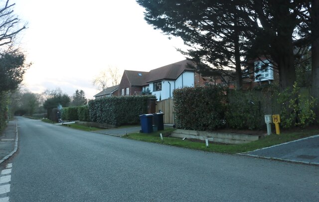
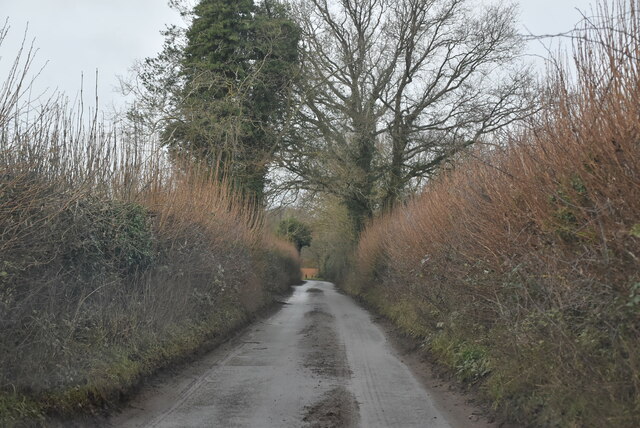
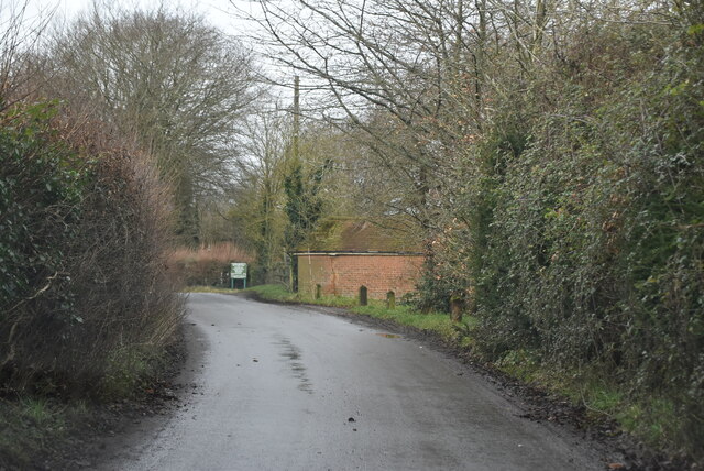
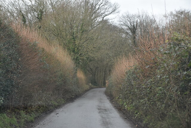
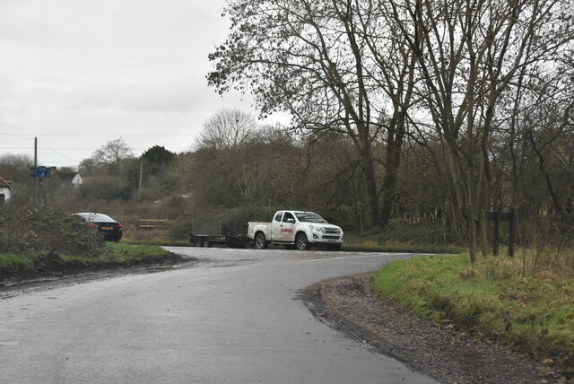
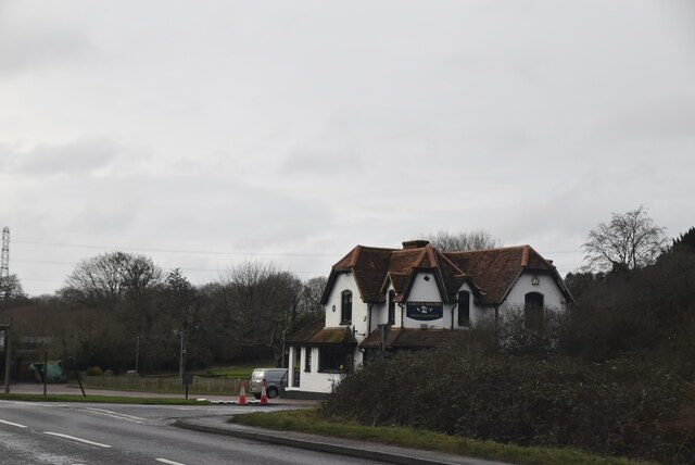
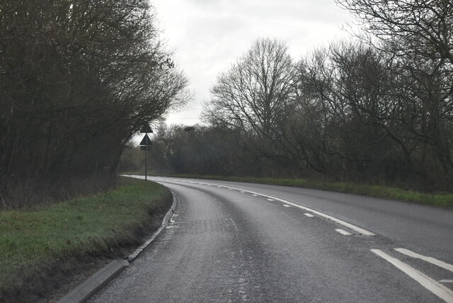
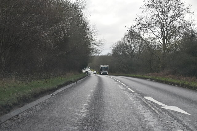
Poland Green is a small hamlet located in the county of Buckinghamshire, England. Situated within the larger civil parish of Wood, Forest, the area is known for its picturesque rural landscape and charming countryside living. Poland Green is nestled amidst rolling hills and lush green fields, creating a serene and tranquil atmosphere for its residents.

The hamlet consists mainly of a cluster of residential properties, with a few farms scattered throughout the area. The houses in Poland Green are typically traditional, reflecting the rural character of the region. The community is close-knit and friendly, creating a sense of unity among its inhabitants.

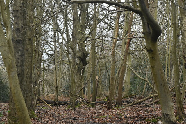
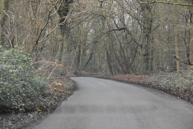
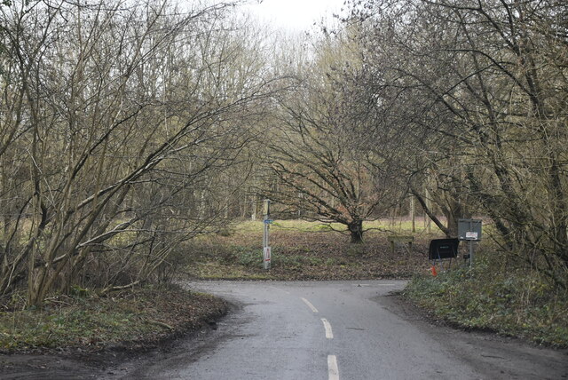
Nature lovers and outdoor enthusiasts are attracted to Poland Green due to its proximity to several woodlands and forests. The hamlet is surrounded by beautiful woodlands such as Penn Wood and Hodgemoor Wood, which offer ample opportunities for hiking, walking, and exploring the abundant wildlife.

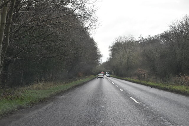
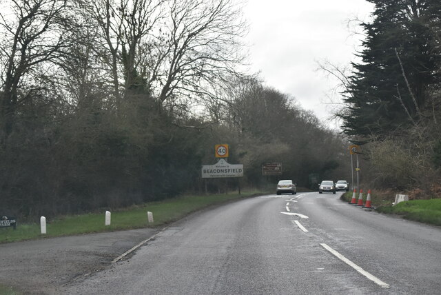
Despite its rural setting, Poland Green benefits from its convenient location. The nearby town of Beaconsfield provides a range of amenities, including shops, supermarkets, and restaurants. Additionally, the hamlet enjoys good transportation links, with easy access to major road networks such as the M40, connecting residents to nearby towns and cities.

Overall, Poland Green in Buckinghamshire offers a peaceful and idyllic lifestyle for those seeking a rural retreat. With its stunning natural surroundings and welcoming community, it is a place where residents can truly enjoy the beauty of the English countryside.

If you have any feedback on the listing, please let us know in the comments section below.
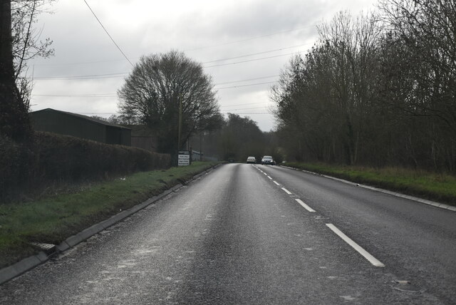
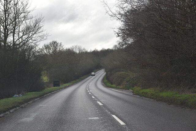
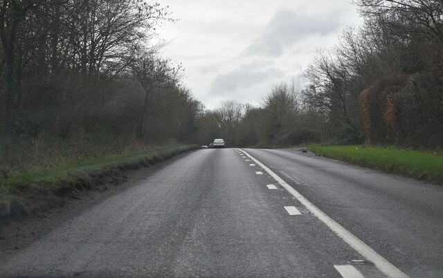
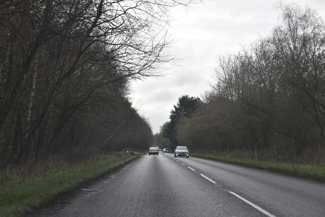
Poland Green Images

Images are sourced within 2km of 51.629508/-0.63534711 or Grid Reference SU9493. Thanks to Geograph Open Source API. All images are credited.

Forty Green Road, Knotty Green
The Harte & Magpies
The Harte & Magpies
Botrell's Lane
Botrell's Lane
Botrell's Lane
Botrell's Lane
Botrell's Lane
Botrell's Lane
Hill's Wood
Hill's Wood
Botrell's Lane
Botrell's Lane
End of Botrell's Lane
Old course of A355
Old course of A355
The Harte & Magpies
The Harte & Magpies
A355, southbound The A355 runs 13 miles from Eton to Amersham.
<span class="nowrap"><a title="http://www.sabre-roads.org.uk/wiki/index.php?title=A355" rel="nofollow ugc noopener" href="http://www.sabre-roads.org.uk/wiki/index.php?title=A355">Link</a><img style="margin-left:2px;" alt="External link" title="External link - shift click to open in new window" src="https://s1.geograph.org.uk/img/external.png" width="10" height="10"/></span>
A355, southbound
The A355 runs 13 miles from Eton to Amersham. LinkExternal link
A355, White's Hill The A355 runs 13 miles from Eton to Amersham.
<span class="nowrap"><a title="http://www.sabre-roads.org.uk/wiki/index.php?title=A355" rel="nofollow ugc noopener" href="http://www.sabre-roads.org.uk/wiki/index.php?title=A355">Link</a><img style="margin-left:2px;" alt="External link" title="External link - shift click to open in new window" src="https://s1.geograph.org.uk/img/external.png" width="10" height="10"/></span>
A355, White's Hill
The A355 runs 13 miles from Eton to Amersham. LinkExternal link
Amersham Rd The A355 runs 13 miles from Eton to Amersham.
<span class="nowrap"><a title="http://www.sabre-roads.org.uk/wiki/index.php?title=A355" rel="nofollow ugc noopener" href="http://www.sabre-roads.org.uk/wiki/index.php?title=A355">Link</a><img style="margin-left:2px;" alt="External link" title="External link - shift click to open in new window" src="https://s1.geograph.org.uk/img/external.png" width="10" height="10"/></span>
Amersham Rd
The A355 runs 13 miles from Eton to Amersham. LinkExternal link
A355, southbound The A355 runs 13 miles from Eton to Amersham.
<span class="nowrap"><a title="http://www.sabre-roads.org.uk/wiki/index.php?title=A355" rel="nofollow ugc noopener" href="http://www.sabre-roads.org.uk/wiki/index.php?title=A355">Link</a><img style="margin-left:2px;" alt="External link" title="External link - shift click to open in new window" src="https://s1.geograph.org.uk/img/external.png" width="10" height="10"/></span>
A355, southbound
The A355 runs 13 miles from Eton to Amersham. LinkExternal link
Amersham Rd, A355 The A355 runs 13 miles from Eton to Amersham.
<span class="nowrap"><a title="http://www.sabre-roads.org.uk/wiki/index.php?title=A355" rel="nofollow ugc noopener" href="http://www.sabre-roads.org.uk/wiki/index.php?title=A355">Link</a><img style="margin-left:2px;" alt="External link" title="External link - shift click to open in new window" src="https://s1.geograph.org.uk/img/external.png" width="10" height="10"/></span>
Amersham Rd, A355
The A355 runs 13 miles from Eton to Amersham. LinkExternal link
Entering Beaconsfield, A355 The A355 runs 13 miles from Eton to Amersham.
<span class="nowrap"><a title="http://www.sabre-roads.org.uk/wiki/index.php?title=A355" rel="nofollow ugc noopener" href="http://www.sabre-roads.org.uk/wiki/index.php?title=A355">Link</a><img style="margin-left:2px;" alt="External link" title="External link - shift click to open in new window" src="https://s1.geograph.org.uk/img/external.png" width="10" height="10"/></span>
Entering Beaconsfield, A355
The A355 runs 13 miles from Eton to Amersham. LinkExternal link
Show me another place!

Poland Green is located at Grid Ref: SU9493 (Lat: 51.629508, Lng: -0.63534711)

Unitary Authority: Buckinghamshire

Police Authority: Thames Valley

What 3 Words

///stared.hiding.towns. Near Beaconsfield, Buckinghamshire

Related Wikis

Alfriston School

Alfriston School is a girls' special school in Beaconsfield, Buckinghamshire. In March 2012 the school became an Academy. It takes girls from the age of...

Holly Mount, Knotty Green

Holly Mount (originally Hollymount) is a detached house in Knotty Green in Buckinghamshire. It was designed by the English architect C.F.A. Voysey and...

Ledborough

Ledborough was a former hamlet in the parish of Beaconsfield, in Buckinghamshire, England which has become incorporated into the urban area of the town...

Knotty Green

Knotty Green was once a rural hamlet in the Buckinghamshire Chiltern Hills. It is characterised by large houses set in their own extensive grounds and...

Related Videos

Walking Tour 4K60fps - Beaconsfield, Buckinghamshire

Welcome to a virtual walking tour - virtual walking scenery for exercises of the charming English town of Beaconsfield! Immerse ...

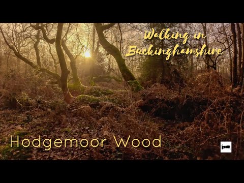
Discover England's Hodgemoor Wood: A Stunning Countryside Walk Awaits!

In 2023, discover England's Hodgemoor Wood-an enchanting, tranquil woodland garden waiting to be explored! Hodgemoor ...

Have you been to Poland Green?

Leave your review of Poland Green below (or comments, questions and feedback).