Great Beard's Wood
Wood, Forest in Buckinghamshire
England
Great Beard's Wood
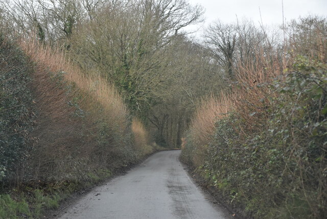
Great Beard's Wood is a picturesque woodland located in Buckinghamshire, England. Covering an area of approximately 200 acres, it is a natural haven for flora and fauna enthusiasts, offering a tranquil and serene environment for visitors to enjoy.
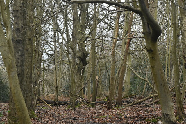
The woodland is predominantly made up of mixed broadleaf trees, including oak, beech, and ash. These towering giants create a dense canopy that provides shelter for a variety of wildlife species. Birdwatchers will be delighted to spot species such as woodpeckers, owls, and various songbirds, while mammal enthusiasts may catch a glimpse of elusive creatures like deer, badgers, and foxes.
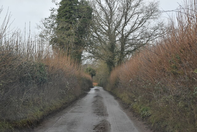
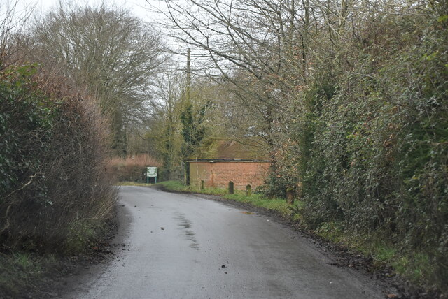
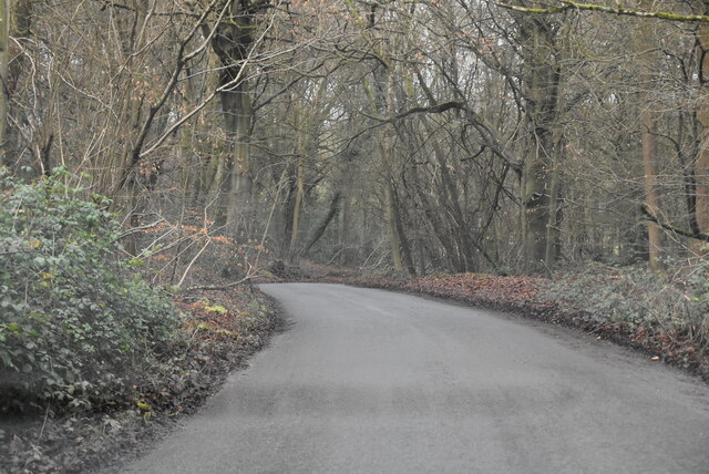
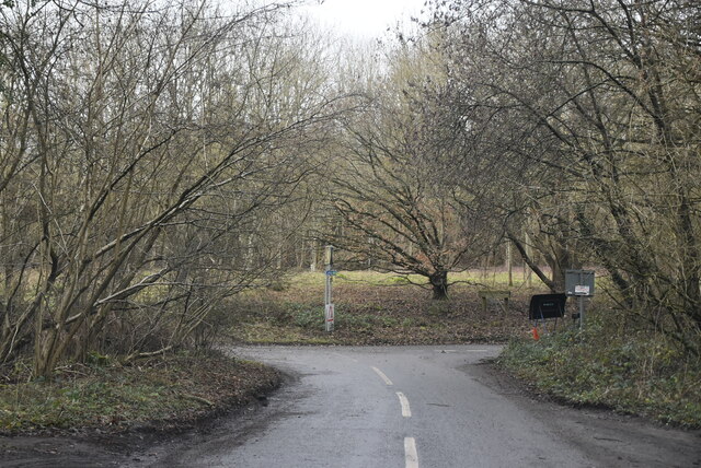
Great Beard's Wood is crisscrossed with well-maintained footpaths, making it easily accessible for walkers and hikers of all abilities. The paths wind through the woods, offering breathtaking views of the surrounding landscape and allowing visitors to immerse themselves in the natural beauty of the area.
The wood is also home to a diverse range of plant life, with wildflowers carpeting the forest floor in the spring and summer months. Bluebells, primroses, and wild garlic add vibrant splashes of color to the greenery, creating a truly enchanting atmosphere.
Great Beard's Wood is not only a haven for nature lovers but also a popular destination for picnickers and families. With ample space for outdoor activities, it is an ideal spot for children to explore and play in a safe and natural environment.
Overall, Great Beard's Wood offers a wonderful opportunity to escape the hustle and bustle of everyday life and connect with nature in the heart of Buckinghamshire.
If you have any feedback on the listing, please let us know in the comments section below.
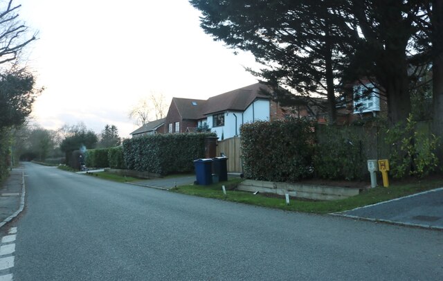
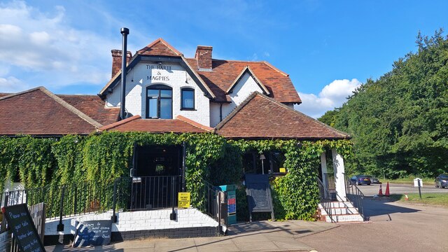
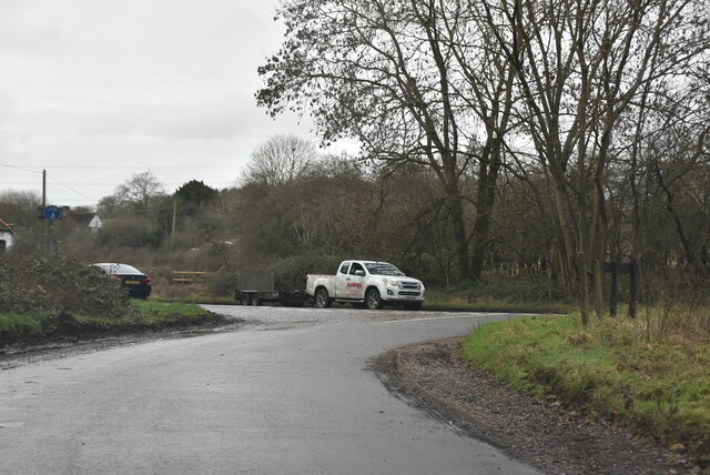
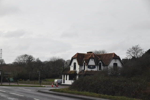
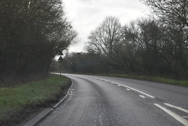
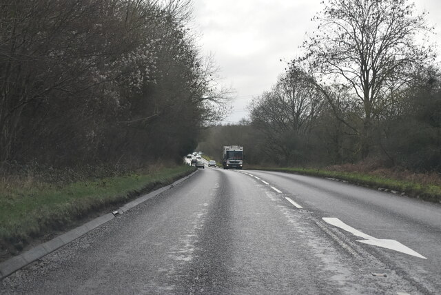
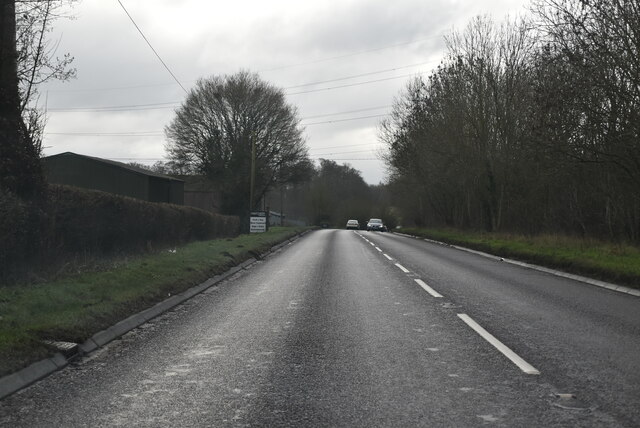
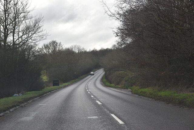
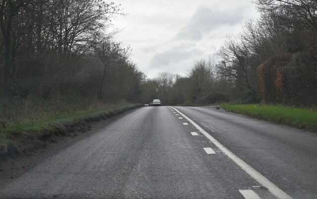
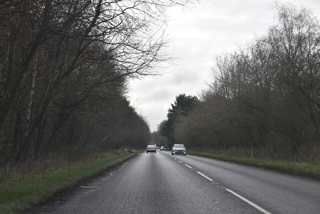
Great Beard's Wood Images
Images are sourced within 2km of 51.631921/-0.63638727 or Grid Reference SU9493. Thanks to Geograph Open Source API. All images are credited.


Great Beard's Wood is located at Grid Ref: SU9493 (Lat: 51.631921, Lng: -0.63638727)
Unitary Authority: Buckinghamshire
Police Authority: Thames Valley
What 3 Words
///army.grades.translated. Near Beaconsfield, Buckinghamshire
Nearby Locations
Related Wikis

Holly Mount, Knotty Green
Holly Mount (originally Hollymount) is a detached house in Knotty Green in Buckinghamshire. It was designed by the English architect C.F.A. Voysey and...
Alfriston School
Alfriston School is a girls' special school in Beaconsfield, Buckinghamshire. In March 2012 the school became an Academy. It takes girls from the age of...
Knotty Green
Knotty Green was once a rural hamlet in the Buckinghamshire Chiltern Hills. It is characterised by large houses set in their own extensive grounds and...
Ledborough
Ledborough was a former hamlet in the parish of Beaconsfield, in Buckinghamshire, England which has become incorporated into the urban area of the town...
Coleshill, Buckinghamshire
Coleshill (formerly Stoke) is a village and civil parish within Chiltern district in Buckinghamshire, England. It is 2 miles (3.2 km) south of Amersham...
Winchmore Hill, Buckinghamshire
Winchmore Hill is a village in the parish of Penn, in Buckinghamshire, England. The village has a triangular green in the centre (on which a fête is held...
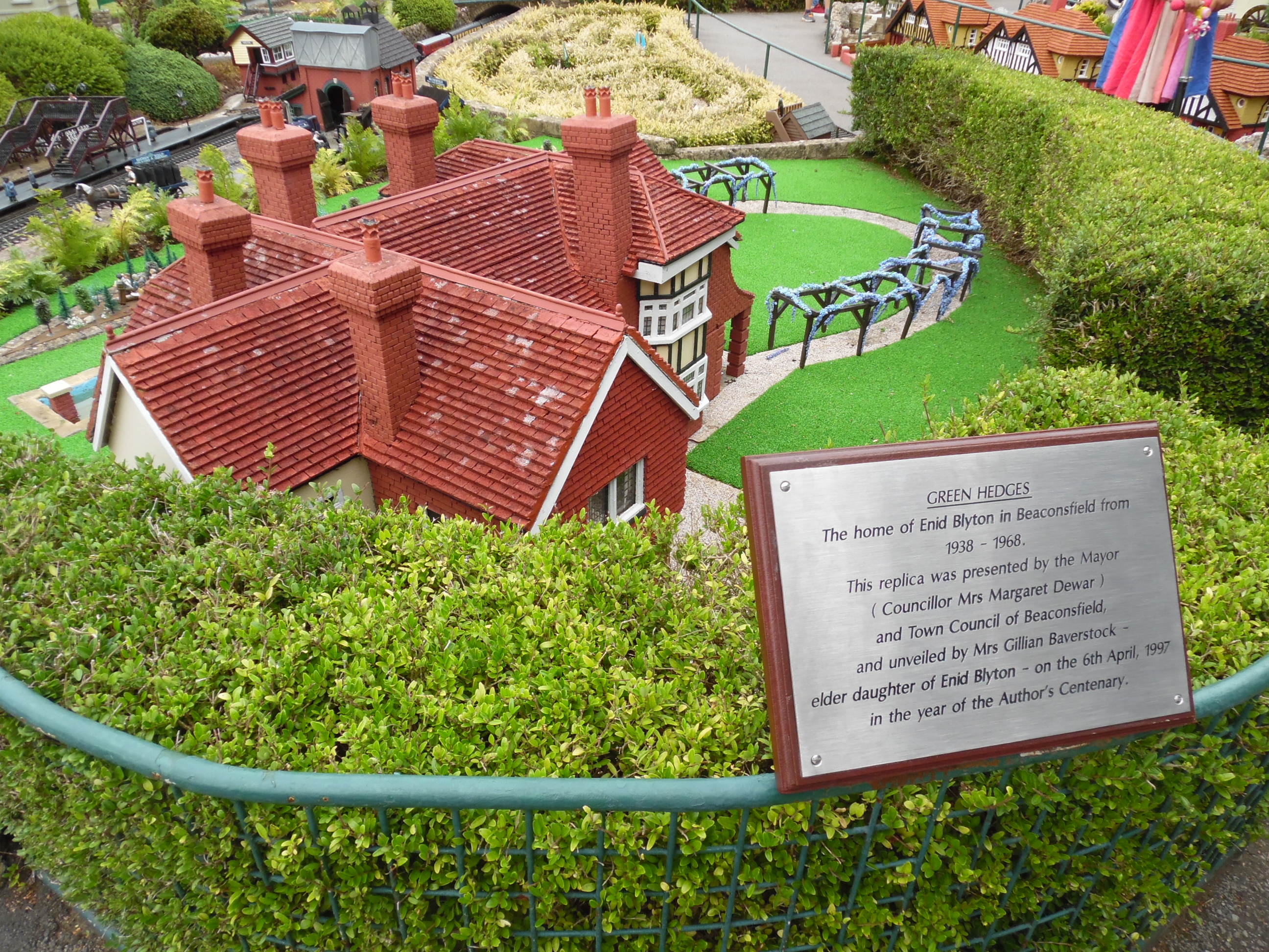
Green Hedges
Green Hedges was a large house situated off Penn Road in Beaconsfield, Buckinghamshire. It was the home of Enid Blyton from 1938 until shortly before her...
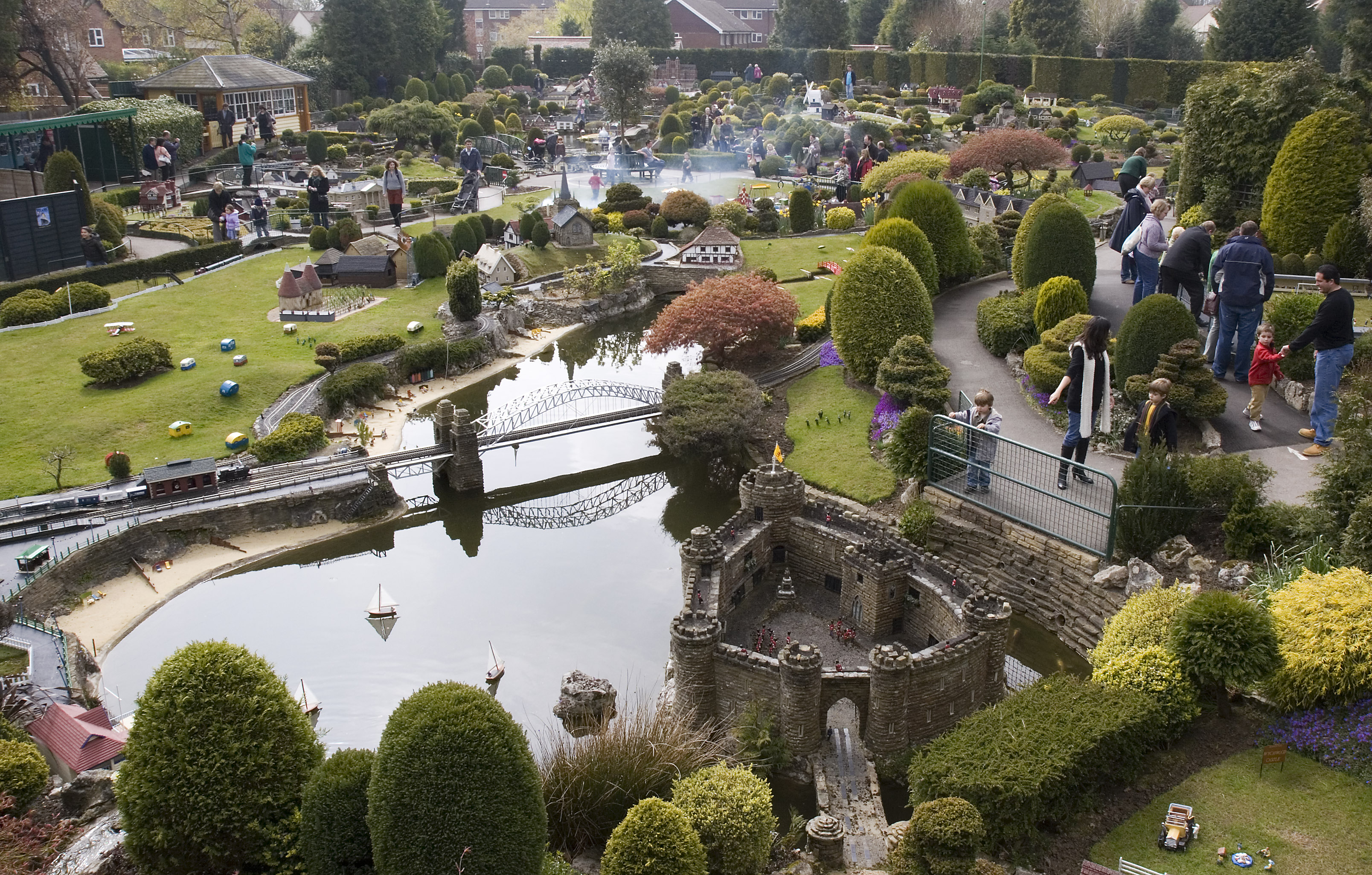
Bekonscot
Bekonscot Model Village and Railway is a model village built in the 1920s in Beaconsfield, Buckinghamshire, UK at a scale of one inch to one foot. It portrays...
Have you been to Great Beard's Wood?
Leave your review of Great Beard's Wood below (or comments, questions and feedback).