Red Lands
Wood, Forest in Surrey Waverley
England
Red Lands
Red Lands is a picturesque woodland area located in Surrey, England. Situated in the heart of the county, this serene forest is renowned for its vibrant autumnal colors, making it a popular destination for nature enthusiasts and photographers alike.
Covering an area of approximately 100 hectares, Red Lands is characterized by its dense canopy of deciduous trees, including oak, beech, and birch. The forest floor is adorned with a rich carpet of moss, ferns, and wildflowers, creating a diverse and enchanting ecosystem. The area is also home to a variety of wildlife, such as deer, foxes, and a plethora of bird species, adding to the natural beauty and tranquility of the surroundings.
Red Lands offers a network of well-maintained walking trails, allowing visitors to explore the forest and enjoy its breathtaking scenery. These paths cater to all levels of fitness, from leisurely strolls to more challenging hikes, ensuring that individuals of all ages can appreciate the beauty of the woodland.
Additionally, the forest provides ample opportunities for outdoor activities such as picnicking, birdwatching, and photography. Its idyllic setting and peaceful ambiance make it a perfect spot for relaxation and an escape from the hustle and bustle of everyday life.
Overall, Red Lands in Surrey is a captivating destination that showcases the natural splendor of the English countryside. With its vibrant autumn colors, diverse wildlife, and well-maintained trails, it offers a memorable experience for nature lovers and outdoor enthusiasts alike.
If you have any feedback on the listing, please let us know in the comments section below.
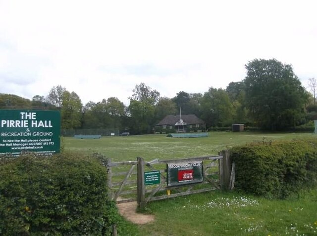
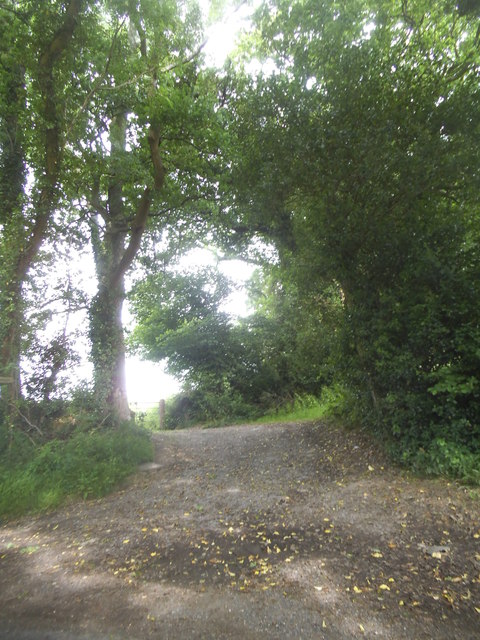
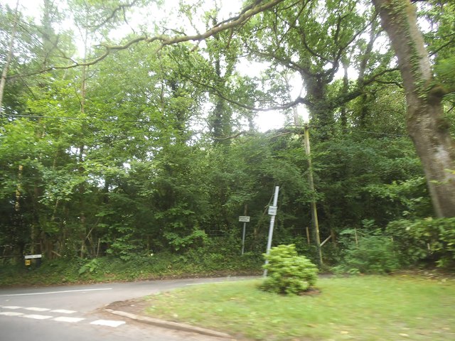
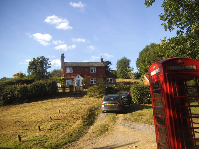
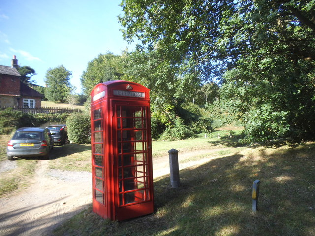
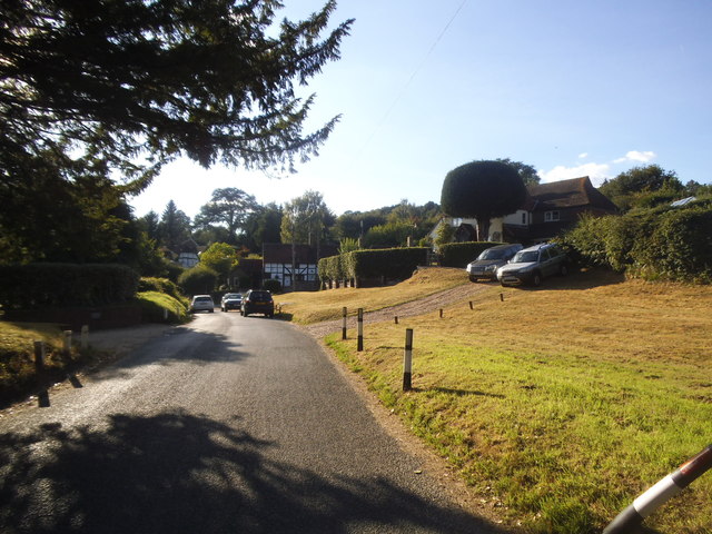
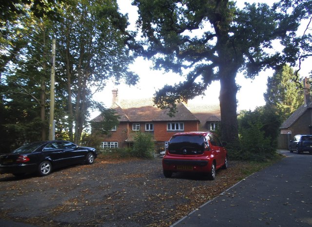
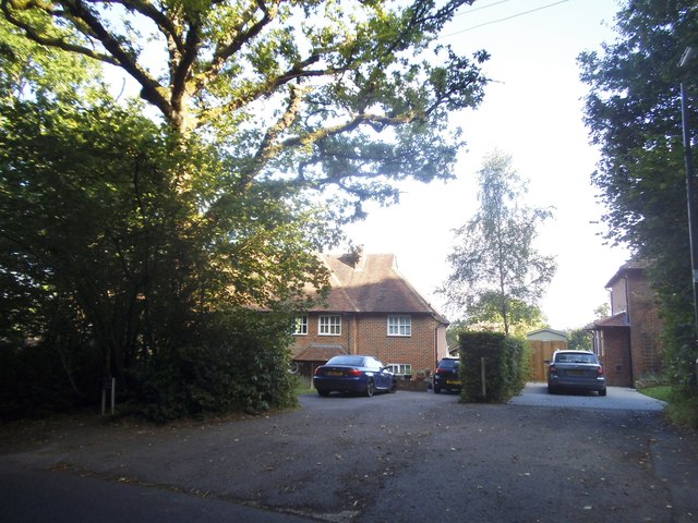
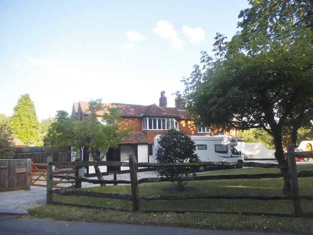
Red Lands Images
Images are sourced within 2km of 51.128013/-0.65245024 or Grid Reference SU9437. Thanks to Geograph Open Source API. All images are credited.


Red Lands is located at Grid Ref: SU9437 (Lat: 51.128013, Lng: -0.65245024)
Administrative County: Surrey
District: Waverley
Police Authority: Surrey
What 3 Words
///hourglass.birthing.dimes. Near Wormley, Surrey
Nearby Locations
Related Wikis

Witley railway station
Witley railway station is a station on the Portsmouth Direct Line in Surrey, England. It is 38 miles 36 chains (61.9 km) down the line from London Waterloo...

Wormley, Surrey
Wormley is a village in Surrey, England in the parish of Witley, around Witley station, off the A283 Petworth Road about 5 km (3.1 mi) SSW of Godalming...
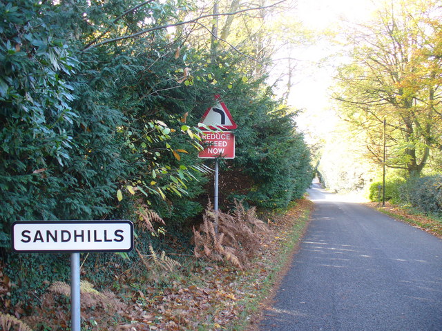
Sandhills, Surrey
Sandhills is a small hamlet located between the villages of Wormley and Brook in Surrey, UK. It is part of the Surrey Hills Area of Outstanding Beauty...

King Edward's School, Witley
King Edward's Witley is a private co-educational boarding and day school, founded in 1553 by King Edward VI and Nicholas Ridley, Bishop of London and Westminster...
Nearby Amenities
Located within 500m of 51.128013,-0.65245024Have you been to Red Lands?
Leave your review of Red Lands below (or comments, questions and feedback).