Botham's Firs
Wood, Forest in Surrey Waverley
England
Botham's Firs
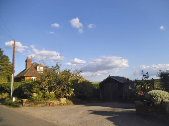
Botham's Firs is a tranquil woodland located in Surrey, England. Covering an area of approximately 100 acres, it is a pristine example of a mixed deciduous forest. The woodland is situated in the southern part of the county, near the picturesque village of Surrey Hills.
The forest is home to a diverse range of tree species, including oak, beech, birch, and ash. These majestic trees create a dense canopy, providing shade and shelter for a variety of wildlife. The forest floor is adorned with a carpet of wildflowers during the spring and summer months, adding bursts of color to the serene landscape.
Botham's Firs is a popular destination for nature enthusiasts, hikers, and birdwatchers. The forest boasts an extensive network of well-maintained trails, allowing visitors to explore its beauty at their own pace. As they wander through the woodland, visitors may encounter an array of wildlife, including deer, foxes, badgers, and a multitude of bird species.
The forest is managed by the local authorities, who ensure the preservation of its natural beauty and protect its inhabitants. Botham's Firs also serves as an important habitat for several endangered species, contributing to the conservation efforts of the region.
Visitors to Botham's Firs can enjoy a peaceful retreat away from the hustle and bustle of urban life. Whether it's a leisurely stroll, a picnic under the shade of the trees, or simply immersing oneself in the soothing sounds of nature, this woodland offers a sanctuary for all who seek solace in its serene embrace.
If you have any feedback on the listing, please let us know in the comments section below.
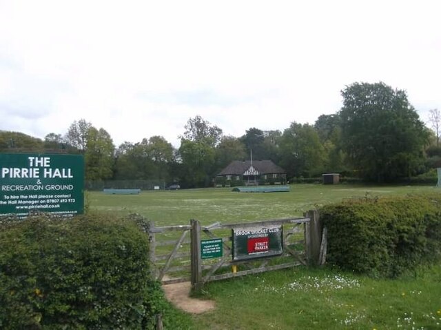
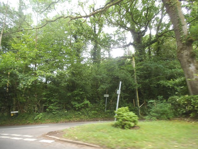
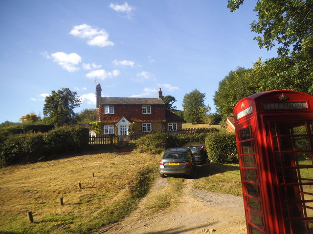
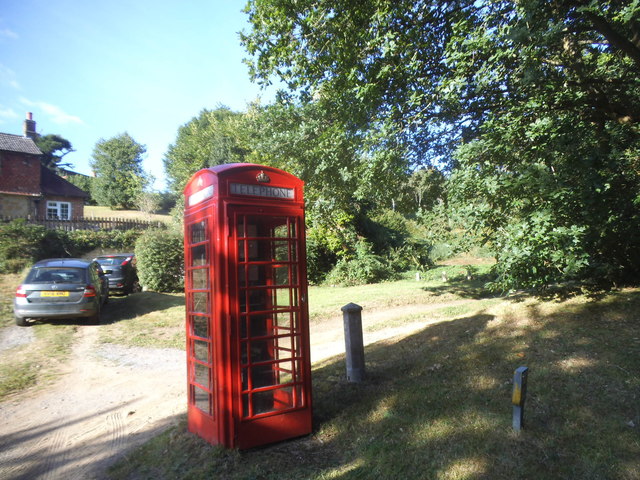
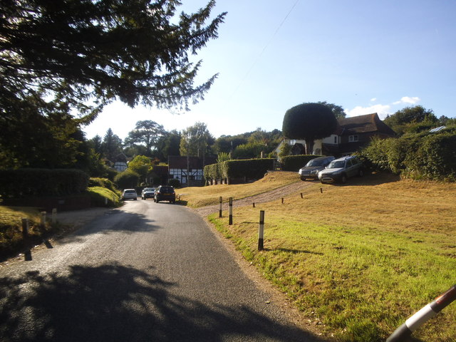
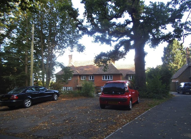
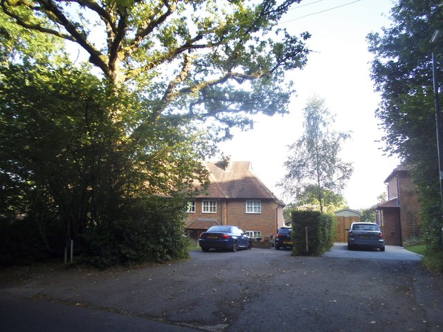
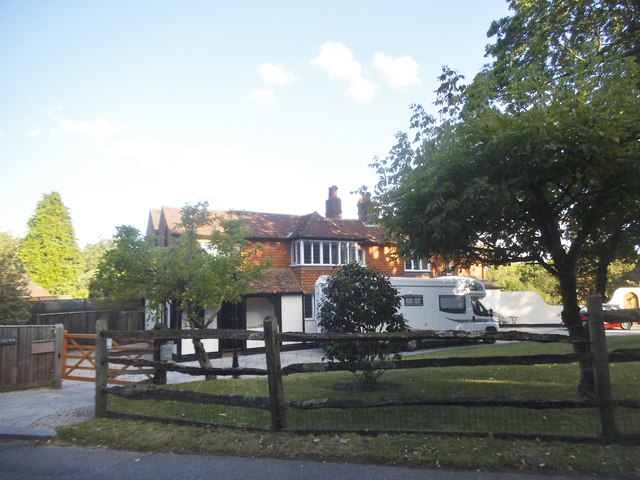
Botham's Firs Images
Images are sourced within 2km of 51.128496/-0.64832035 or Grid Reference SU9437. Thanks to Geograph Open Source API. All images are credited.


Botham's Firs is located at Grid Ref: SU9437 (Lat: 51.128496, Lng: -0.64832035)
Administrative County: Surrey
District: Waverley
Police Authority: Surrey
What 3 Words
///empire.tumble.regretted. Near Wormley, Surrey
Nearby Locations
Related Wikis

Witley railway station
Witley railway station is a station on the Portsmouth Direct Line in Surrey, England. It is 38 miles 36 chains (61.9 km) down the line from London Waterloo...

Wormley, Surrey
Wormley is a village in Surrey, England in the parish of Witley, around Witley station, off the A283 Petworth Road about 5 km (3.1 mi) SSW of Godalming...

King Edward's School, Witley
King Edward's Witley is a private co-educational boarding and day school, founded in 1553 by King Edward VI and Nicholas Ridley, Bishop of London and Westminster...

Tigbourne Court
Tigbourne Court is an Arts and Crafts style country house in Wormley, Surrey, England, 1 mile (1.6 km) south of Witley. It was designed by architect Edwin...
Nearby Amenities
Located within 500m of 51.128496,-0.64832035Have you been to Botham's Firs?
Leave your review of Botham's Firs below (or comments, questions and feedback).