Hundred Acre Copse

Wood, Forest in Surrey Waverley

England

Hundred Acre Copse

Prestwick Lane at the junction of Combe Lane
Prestwick Lane at the junction of Combe Lane Credit: David Howard

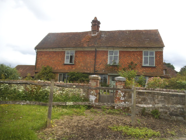
Hundred Acre Copse is a picturesque woodland area located in Surrey, England. Covering an approximate area of 100 acres, the copse is a haven for nature enthusiasts and those seeking tranquility amidst nature's beauty.

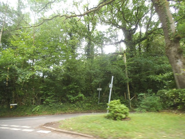
Situated in the heart of Surrey, the copse is easily accessible and well-known for its diverse range of tree species, including oak, beech, and birch. The dense woodland creates a lush and green environment, providing habitat for a wide array of wildlife. Visitors can often spot squirrels scurrying among the branches, while birdsong fills the air.

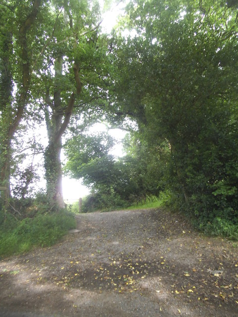
Tranquil walking trails wind their way through Hundred Acre Copse, allowing visitors to immerse themselves in the peaceful surroundings. The paths are well-maintained, making it suitable for leisurely strolls or more adventurous hikes. Along the way, hikers can admire the vibrant flora and fauna, from delicate wildflowers to majestic ferns.

The copse also offers several designated picnic areas, providing the perfect spot for visitors to relax and enjoy a meal amidst nature. Families often come here to spend quality time together, while nature enthusiasts can indulge in some birdwatching or photography.

Hundred Acre Copse is not only a place of natural beauty but also holds historical significance. It has been a part of Surrey's landscape for centuries, and remnants of ancient settlements have been discovered in the area.

Overall, Hundred Acre Copse in Surrey is a delightful destination for those seeking solace in nature. Its lush woodland, diverse wildlife, and well-maintained trails offer a truly enchanting experience for visitors of all ages.

If you have any feedback on the listing, please let us know in the comments section below.

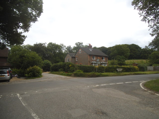
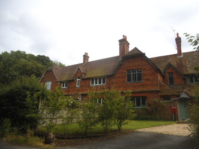
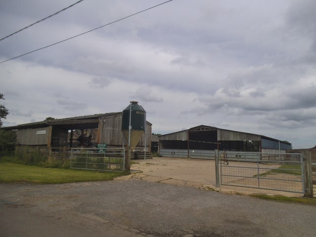
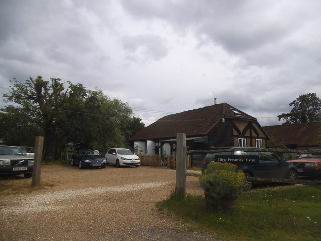
Hundred Acre Copse Images

Images are sourced within 2km of 51.113281/-0.66405071 or Grid Reference SU9335. Thanks to Geograph Open Source API. All images are credited.

Prestwick Lane at the junction of Combe Lane
Combe Lane, Combe Common
Prestwick Lane, Combe Common
Cottage on Combe Lane, Chiddingfold
Lower Road at the junction of Clammer Hill
Houses on Prestwick Lane, Grayswood
Prestwick Farm, Grayswood
High Prestwick Farm, Grayswood
High Prestwick Farmhouse, Grayswood
Path to Langhurst Manor
Pook Hill at the junction of Prestwick Lane
House on Prestwick Lane, Combe Common
A286 The A286 is a 32 mile long road between Birdham and Milford.
<span class="nowrap"><a title="http://www.sabre-roads.org.uk/wiki/index.php?title=A286" rel="nofollow ugc noopener" href="http://www.sabre-roads.org.uk/wiki/index.php?title=A286">Link</a><img style="margin-left:2px;" alt="External link" title="External link - shift click to open in new window" src="https://s1.geograph.org.uk/img/external.png" width="10" height="10"/></span>
A286
The A286 is a 32 mile long road between Birdham and Milford. LinkExternal link
Railway Bridge, A286 The A286 is a 32 mile long road between Birdham and Milford.
<span class="nowrap"><a title="http://www.sabre-roads.org.uk/wiki/index.php?title=A286" rel="nofollow ugc noopener" href="http://www.sabre-roads.org.uk/wiki/index.php?title=A286">Link</a><img style="margin-left:2px;" alt="External link" title="External link - shift click to open in new window" src="https://s1.geograph.org.uk/img/external.png" width="10" height="10"/></span>
Railway Bridge, A286
The A286 is a 32 mile long road between Birdham and Milford. LinkExternal link
Milestone by the A286, Upper Birtley, Witley parish Carved stone post by the A286, in parish of Witley (Waverley District), Upper Birtley, on open grass verge, on East side of road. Petworth stone, erected by the Haslemere turnpike trust in the 19th century. 

Inscription reads:-
HYDE PARK CORNER
37 MILES
MIDHURST
11 MILES
GODALMING
5 MILES
HASLEMERE
3 MILES
Carved benchmark in crown. 

Milestone Society National ID: SY_LMID37
Milestone by the A286, Upper Birtley, Witley parish
Carved stone post by the A286, in parish of Witley (Waverley District), Upper Birtley, on open grass verge, on East side of road. Petworth stone, erected by the Haslemere turnpike trust in the 19th century. Inscription reads:- HYDE PARK CORNER 37 MILES MIDHURST 11 MILES GODALMING 5 MILES HASLEMERE 3 MILES Carved benchmark in crown. Milestone Society National ID: SY_LMID37
2020 vision: Day 30 The Willows, Chiddingfold
Temperature 10C
BBC News "PM" programme 17:00 - Women's Groups say women are being failed by the police and CPS as prosecution and conviction rates plummet.
2020 vision: Day 30
The Willows, Chiddingfold Temperature 10C BBC News "PM" programme 17:00 - Women's Groups say women are being failed by the police and CPS as prosecution and conviction rates plummet.
2020 vision: Day 42 Looking along Prestwick Lane towards Combe Lane
Temperature 5C, but a bitter wind
BBC Radio 4 News, 1st headline 16:00 Prime Minister Boris Johnson has announced that the controversial HS2 high-speed rail link will be built.
2020 vision: Day 42
Looking along Prestwick Lane towards Combe Lane Temperature 5C, but a bitter wind BBC Radio 4 News, 1st headline 16:00 Prime Minister Boris Johnson has announced that the controversial HS2 high-speed rail link will be built.
Show me another place!

Hundred Acre Copse is located at Grid Ref: SU9335 (Lat: 51.113281, Lng: -0.66405071)

Administrative County: Surrey

District: Waverley

Police Authority: Surrey

What 3 Words

///rent.homeward.polygraph. Near Chiddingfold, Surrey

Related Wikis

Netherside Stream Outcrops

Netherside Stream Outcrops is a 2.9-hectare (7.2-acre) geological Site of Special Scientific Interest north-east of Haslemere in Surrey. It is a Geological...

All Saints' Church, Grayswood

All Saints' Church is an active parish church in the village of Grayswood, Surrey, England. The church stands in the centre of the village and was built...

Brook Brick Pit

Brook Brick Pit is a 0.9-hectare (2.2-acre) geological Site of Special Scientific Interest west of Wormley Surrey. It is a Geological Conservation Review...

Ramsnest Common

Ramsnest Common is a hamlet in the far south of the Borough of Waverley, the largest district of Surrey, England centred on the A283 1.5 miles (2.4 km...

Nearby Amenities

Located within 500m of 51.113281,-0.66405071
Lower Burtley
Building: yes
Source: npe
Lat/Long: 51.1151086/-0.6702576
Barrier: stile
Lat/Long: 51.109301/-0.6658512
Barrier: stile
Lat/Long: 51.1100555/-0.6633162
Barrier: stile
Lat/Long: 51.1103302/-0.6623325
Barrier: stile
Lat/Long: 51.1111428/-0.6594894
Barrier: stile
Lat/Long: 51.1111602/-0.6594307
The data included in this document is from www.openstreetmap.org. The data is made available under ODbL.

Have you been to Hundred Acre Copse?

Leave your review of Hundred Acre Copse below (or comments, questions and feedback).