Hawlands Rough
Downs, Moorland in Surrey Waverley
England
Hawlands Rough

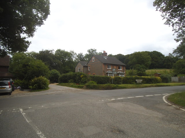
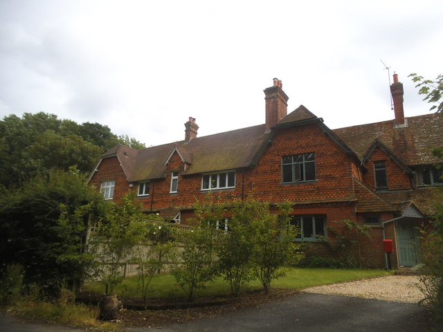
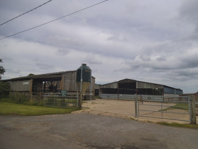
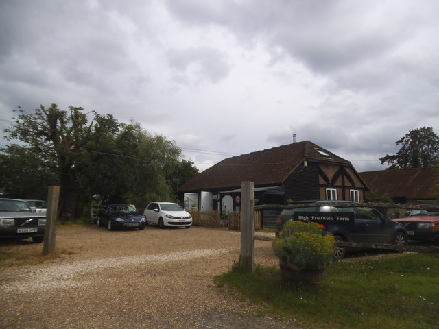
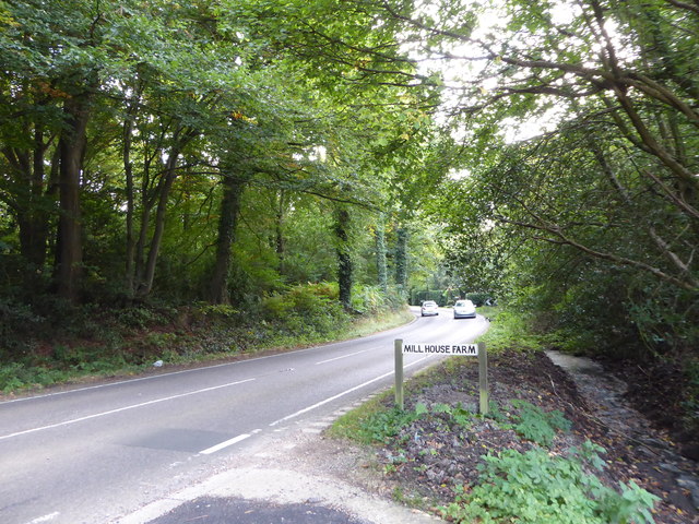
Hawlands Rough is a picturesque and serene area located in Surrey, England. Situated in the southern part of the county, it is characterized by its stunning downs and moorland landscapes. The rough covers an expansive area of approximately 500 acres, offering visitors a diverse and scenic environment to explore.
The downs of Hawlands Rough are characterized by rolling hills covered in lush green grasses and dotted with vibrant wildflowers during the summer months. These open spaces provide stunning panoramic views of the surrounding countryside, making it a popular spot for outdoor enthusiasts and nature lovers.
In addition to the downs, the moorland in Hawlands Rough adds another layer of beauty to the area. Moorland is a unique type of habitat characterized by heather and gorse, which create a striking display of purples and yellows when in bloom. This habitat also supports a variety of wildlife, including birds such as skylarks and stonechats, as well as several species of butterflies and small mammals.
Visitors to Hawlands Rough can enjoy a range of activities, including hiking, nature walks, and birdwatching. There are several well-maintained trails that wind through the rough, allowing visitors to explore the different habitats and take in the stunning scenery.
Overall, Hawlands Rough in Surrey offers a tranquil and natural retreat for those seeking to immerse themselves in the beauty of the downs and moorland. With its diverse landscapes and abundant wildlife, it is a must-visit destination for nature enthusiasts and anyone looking to experience the serenity of the countryside.
If you have any feedback on the listing, please let us know in the comments section below.
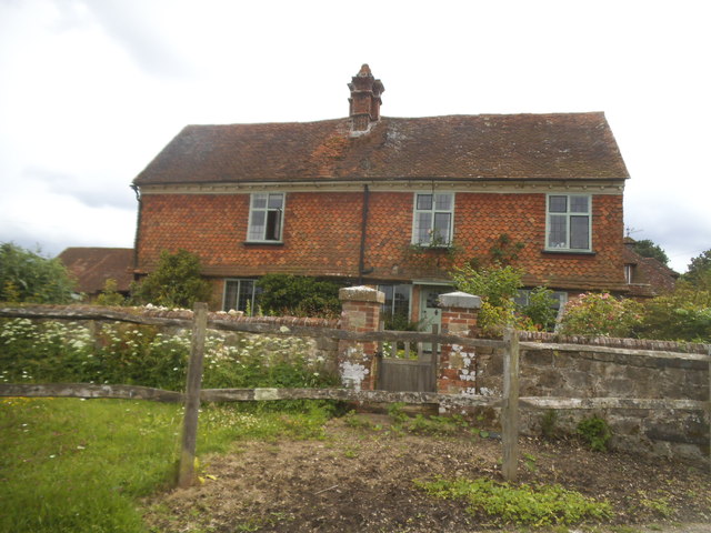
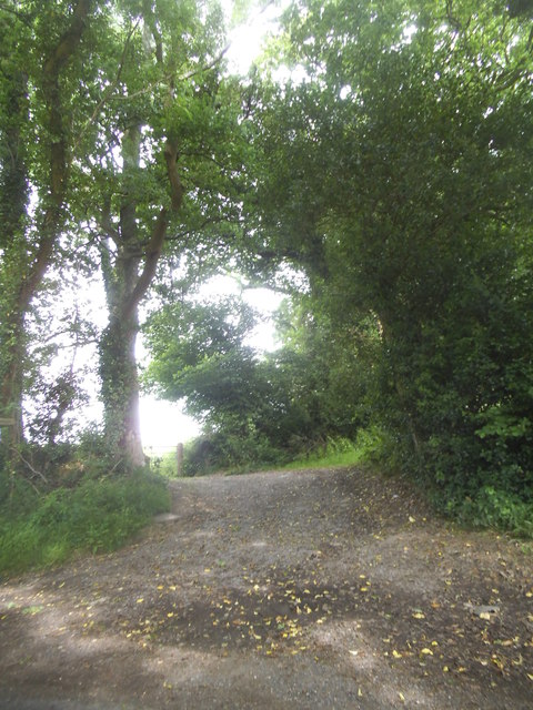
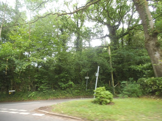
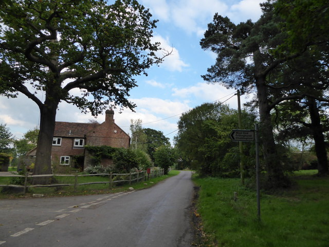
Hawlands Rough Images
Images are sourced within 2km of 51.106893/-0.66064946 or Grid Reference SU9335. Thanks to Geograph Open Source API. All images are credited.


Hawlands Rough is located at Grid Ref: SU9335 (Lat: 51.106893, Lng: -0.66064946)
Administrative County: Surrey
District: Waverley
Police Authority: Surrey
What 3 Words
///lectured.sharpness.president. Near Chiddingfold, Surrey
Nearby Locations
Related Wikis

Netherside Stream Outcrops
Netherside Stream Outcrops is a 2.9-hectare (7.2-acre) geological Site of Special Scientific Interest north-east of Haslemere in Surrey. It is a Geological...

Ramsnest Common
Ramsnest Common is a hamlet in the far south of the Borough of Waverley, the largest district of Surrey, England centred on the A283 1.5 miles (2.4 km...

Ramster
Ramster Garden is an open garden, near Chiddingfold, Surrey, covering over 20 acres (81,000 m2). First landscaped and laid out in the 1890s by Gauntlett...

All Saints' Church, Grayswood
All Saints' Church is an active parish church in the village of Grayswood, Surrey, England. The church stands in the centre of the village and was built...

Chiddingfold
Chiddingfold is a village and civil parish in the Weald in the Waverley district of Surrey, England. It lies on the A283 road between Milford and Petworth...

St Teresa of Avila Church, Chiddingfold
St Teresa of Avila Church is a Roman Catholic Parish church in Chiddingfold, Surrey. It is situated on the corner of Petworth Road and Woodside Road in...

Brook Brick Pit
Brook Brick Pit is a 0.9-hectare (2.2-acre) geological Site of Special Scientific Interest west of Wormley Surrey. It is a Geological Conservation Review...

Pickhurst
Pickhurst is a grade II* listed house set in 130 acres (53 ha) of land near Chiddingfold, Surrey, England. == History == It was designed by the Scottish...
Nearby Amenities
Located within 500m of 51.106893,-0.66064946Have you been to Hawlands Rough?
Leave your review of Hawlands Rough below (or comments, questions and feedback).