Black Bushes

Wood, Forest in Bedfordshire

England

Black Bushes

Ford at Farndish This former byway ford at Farndish is now restricted to prohibit horsedrawn and motorised vehicles.
Ford at Farndish Credit: John Walton

Black Bushes is a small woodland area located in Bedfordshire, England. It is situated near the town of Bedford and covers an area of approximately 50 hectares. The woodland is a mix of both deciduous and coniferous trees, creating a diverse and picturesque landscape.

The forest is known for its rich biodiversity and is home to a variety of flora and fauna. Visitors to Black Bushes can expect to see a range of tree species, including oak, beech, birch, and pine. The forest floor is covered with a carpet of ferns, mosses, and wildflowers, adding to the enchanting atmosphere.

Black Bushes is a popular destination for nature lovers, hikers, and wildlife enthusiasts. It offers a network of well-maintained trails that wind through the woodland, providing visitors with an opportunity to explore and discover the hidden gems of the forest. The trails are suitable for all levels of fitness and are often used by local residents for leisurely walks or more challenging hikes.

The woodland is also a haven for wildlife, with numerous species calling it home. Visitors may encounter deer, foxes, squirrels, and a variety of bird species, including woodpeckers and owls. The forest provides a valuable habitat for these creatures, offering them shelter, food, and protection.

Overall, Black Bushes is a beautiful and tranquil woodland area in Bedfordshire, offering visitors the chance to immerse themselves in nature and enjoy the peace and serenity of the forest.

If you have any feedback on the listing, please let us know in the comments section below.

Black Bushes Images

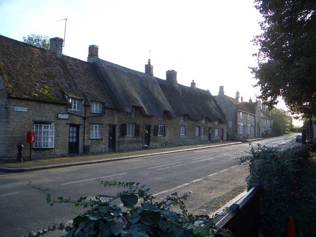
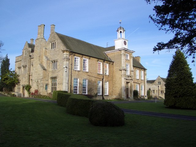
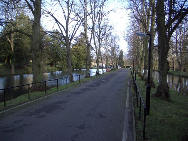
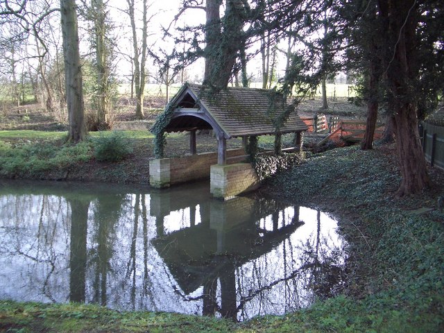
Images are sourced within 2km of 52.265465/-0.6296537 or Grid Reference SP9363. Thanks to Geograph Open Source API. All images are credited.

Ford at Farndish This former byway ford at Farndish is now restricted to prohibit horsedrawn and motorised vehicles.
Ford at Farndish
This former byway ford at Farndish is now restricted to prohibit horsedrawn and motorised vehicles.
Knuston High Farm Farm access track only.
Knuston High Farm
Farm access track only.
View of Wind Farm Taken from Wollaston Road Irchester
View of Wind Farm
Taken from Wollaston Road Irchester
View towards Irchester A relatively new part of the village is visible. The footbridge at the bottom of the slope carries farm machinery, as well as walkers, across the brook.
View towards Irchester
A relatively new part of the village is visible. The footbridge at the bottom of the slope carries farm machinery, as well as walkers, across the brook.
Railway Bridge This carries the Midland Main Line over a footpath.
Railway Bridge
This carries the Midland Main Line over a footpath.
The Midland Main Line The tracks on this section are raised on a small embankment. Knuston Hall is visible and, beyond that, the water tower near the footpath on the edge of Rushden
The Midland Main Line
The tracks on this section are raised on a small embankment. Knuston Hall is visible and, beyond that, the water tower near the footpath on the edge of Rushden
Station Road The outskirts of Irchester. The X46 bus, carrying passengers between Raunds and Northampton, approaches the corner.
Station Road
The outskirts of Irchester. The X46 bus, carrying passengers between Raunds and Northampton, approaches the corner.
Footpath to Irchester Crosses two fields between Station Road and the old part of the village.
Footpath to Irchester
Crosses two fields between Station Road and the old part of the village.
Knuston High Farm Shot taken from the edge of Wymington Spinney.
Knuston High Farm
Shot taken from the edge of Wymington Spinney.
Rural Scene From a bridleway which forms a T junction with another, just ahead, which is enclosed.
Rural Scene
From a bridleway which forms a T junction with another, just ahead, which is enclosed.
Enclosed Bridleway This direction leads to the village of Wymington.
Enclosed Bridleway
This direction leads to the village of Wymington.
Railway Bridge The Midland Main Line has divided into two sections here and this bridge carries one of the lines.
Railway Bridge
The Midland Main Line has divided into two sections here and this bridge carries one of the lines.
Podington Post Office & High Street Although Podington is probably better known by its association with the Santa Pod drag racing circuit, the village itself is a jewel of vernacular architecture. It has been described as "an aged village of stone and thatch built around the 13th-Century Church of St Mary the Virgin" from where this photo was taken looking south and west.
Podington Post Office & High Street
Although Podington is probably better known by its association with the Santa Pod drag racing circuit, the village itself is a jewel of vernacular architecture. It has been described as "an aged village of stone and thatch built around the 13th-Century Church of St Mary the Virgin" from where this photo was taken looking south and west.
Hinwick Hall Hinwick Hall dates from the 16th century but was extensively remodelled in the 18th century when the east front was built, as appears above. Further changes were made in the 19th & 20th centuries. The house is Grade II* listed and is now put to excellent use as a further education college for young handicapped people.
Hinwick Hall
Hinwick Hall dates from the 16th century but was extensively remodelled in the 18th century when the east front was built, as appears above. Further changes were made in the 19th & 20th centuries. The house is Grade II* listed and is now put to excellent use as a further education college for young handicapped people.
Ornamental Canals & Entrance to Hinwick Hall The ornamental canals on either side of the entranceway to Hinwick Hall form an attractive feature leading to the Hall itself. The right-hand canal possesses a boat house closeby to the entrance.
Ornamental Canals & Entrance to Hinwick Hall
The ornamental canals on either side of the entranceway to Hinwick Hall form an attractive feature leading to the Hall itself. The right-hand canal possesses a boat house closeby to the entrance.
Boathouse at Hinwick Hall This attractive feature is to be found near to the entrance of the Hall beside the right-hand ornamental canal.
Boathouse at Hinwick Hall
This attractive feature is to be found near to the entrance of the Hall beside the right-hand ornamental canal.
Wrought Iron Entrance Gates at Hinwick Hall Looking towards the front, eastern elevation, of Hinwick Hall, these wrought iron garden gates, pilasters and side screens with attractive scrollwork are 18th century and Grade II* listed.
Wrought Iron Entrance Gates at Hinwick Hall
Looking towards the front, eastern elevation, of Hinwick Hall, these wrought iron garden gates, pilasters and side screens with attractive scrollwork are 18th century and Grade II* listed.
The Church of St Michael & All Angels at Farndish The church is thought to date from the late 12th century. It has a simple plan - nave and chancel only - with a low tower built inside the nave. The east window is 15th century and the south wall includes a very elegant 14th century ogee window. The church is currently redundant, though it remains consecrated and is looked after by the Redundant Churches Fund.
The Church of St Michael & All Angels at Farndish
The church is thought to date from the late 12th century. It has a simple plan - nave and chancel only - with a low tower built inside the nave. The east window is 15th century and the south wall includes a very elegant 14th century ogee window. The church is currently redundant, though it remains consecrated and is looked after by the Redundant Churches Fund.
Show me another place!

Black Bushes is located at Grid Ref: SP9363 (Lat: 52.265465, Lng: -0.6296537)

Unitary Authority: Bedford

Police Authority: Bedfordshire

What 3 Words

///hers.typified.vaulting. Near Podington, Bedfordshire

Nearby Locations

Black Bushes

Related Wikis

Farndish

Farndish is a village and former civil parish, now in the parish of Podington, in the Bedford district, in northwest Bedfordshire, England, located about...
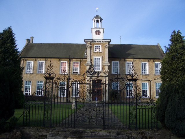
Podington Castle

Podington Castle, sometimes known as Puddington Manor Farm, was an 11th-century castle in the civil parish of Podington, in the county of Bedfordshire...

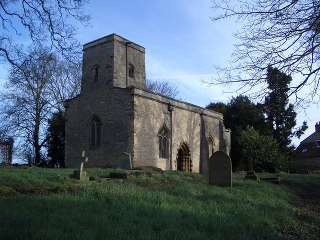
Church of St Mary, Podington

Church of St Mary, or St Mary the Virgin, is a Grade I listed church in Podington, Bedfordshire, England. It became a listed building on 13 July 1964,...

Podington

Podington is a village and civil parish in Bedfordshire, England, United Kingdom. The village is within the electoral ward of Harrold in the Borough of...

Nearby Amenities

Located within 500m of 52.265465,-0.6296537
Power: pole
Source: Bing
Lat/Long: 52.2652847/-0.6365311
Power: pole
Source: Bing
Lat/Long: 52.2688173/-0.6339554
Power: pole
Source: Bing
Lat/Long: 52.2661153/-0.6360161
Power: pole
Source: Bing
Lat/Long: 52.2669721/-0.6354368
Power: pole
Source: Bing
Lat/Long: 52.2678913/-0.6348252
The data included in this document is from www.openstreetmap.org. The data is made available under ODbL.

Have you been to Black Bushes?

Leave your review of Black Bushes below (or comments, questions and feedback).