Alderman Spinney

Wood, Forest in Bedfordshire

England

Alderman Spinney

Ford at Farndish This former byway ford at Farndish is now restricted to prohibit horsedrawn and motorised vehicles.
Ford at Farndish Credit: John Walton

Alderman Spinney is a charming woodland area located in Bedfordshire, England. Nestled within the picturesque town of Bedfordshire (Wood, Forest), it covers an approximate area of 10 acres. This enchanting woodland is a beloved destination for nature enthusiasts and locals seeking tranquility amidst the hustle and bustle of the town.

The woodland boasts a diverse range of flora and fauna, making it a haven for wildlife. Visitors can expect to encounter a variety of native trees, including oak, beech, and birch, which create a lush canopy overhead. The forest floor is adorned with an array of wildflowers, adding bursts of color to the serene landscape.

Alderman Spinney offers visitors the opportunity to explore its natural beauty through a network of well-maintained trails. These pathways wind through the forest, inviting walkers, joggers, and dog owners to enjoy the peaceful ambiance. The trails are suitable for individuals of all fitness levels, making it an ideal spot for a leisurely stroll or a more intensive workout.

The woodland also features several picnic areas, perfect for enjoying a packed lunch amidst nature's splendor. Families often flock to Alderman Spinney for a day of outdoor fun, where children can play in designated play areas or engage in wildlife spotting.

In conclusion, Alderman Spinney in Bedfordshire (Wood, Forest) is a captivating woodland retreat that offers a serene escape from the urban landscape. Its diverse ecosystem, well-maintained trails, and picnic areas make it a popular destination for nature lovers and families alike.

If you have any feedback on the listing, please let us know in the comments section below.

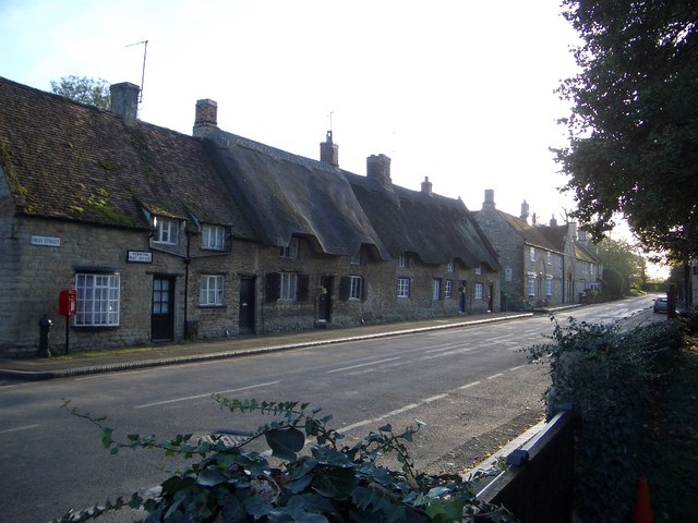
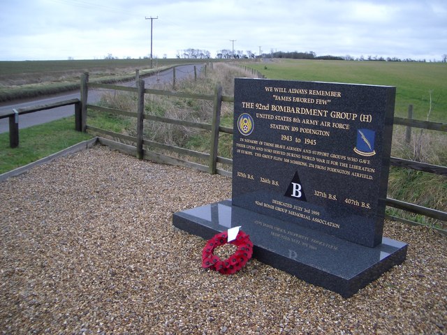
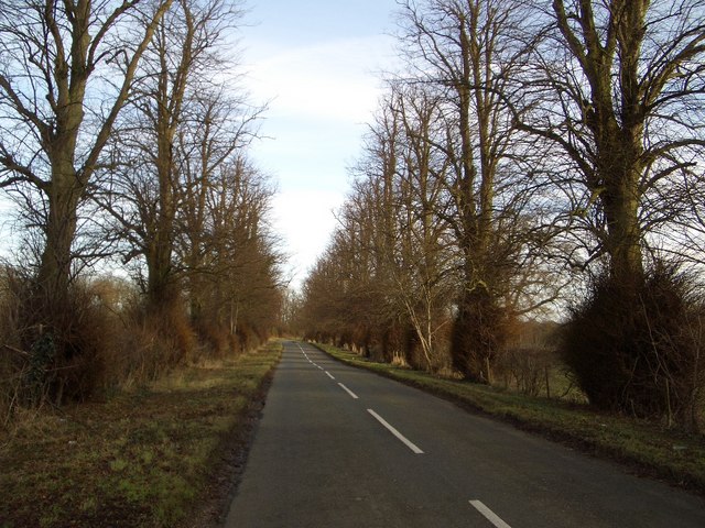
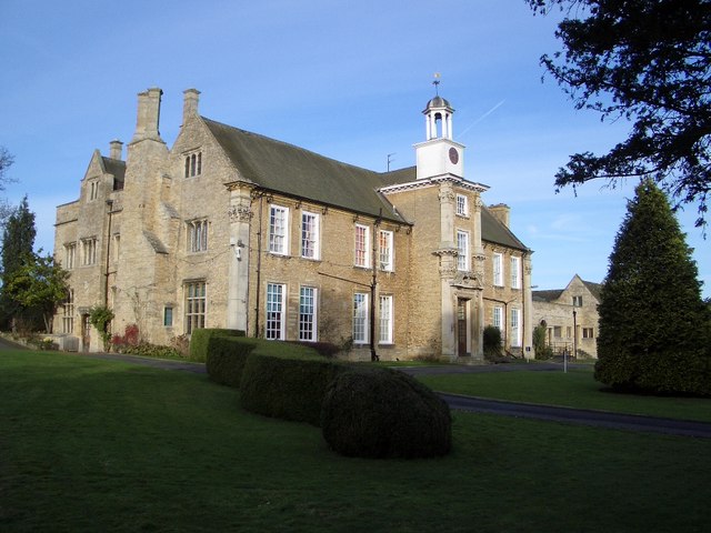
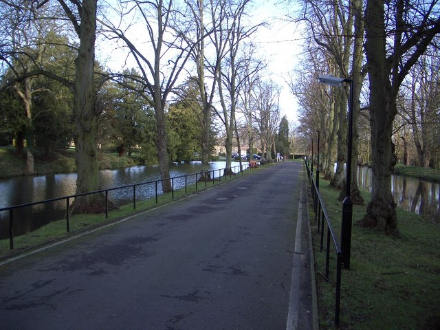
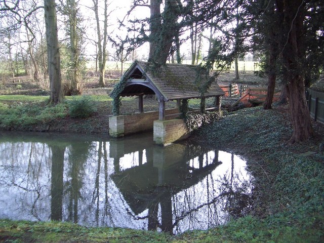
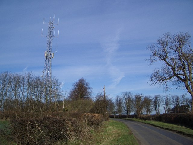
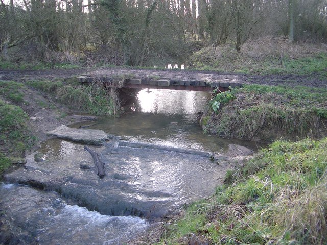
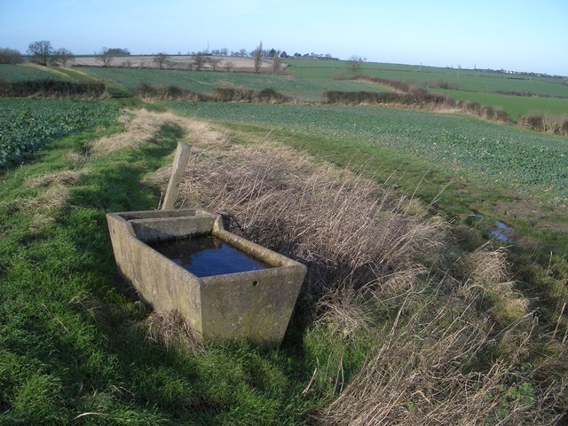
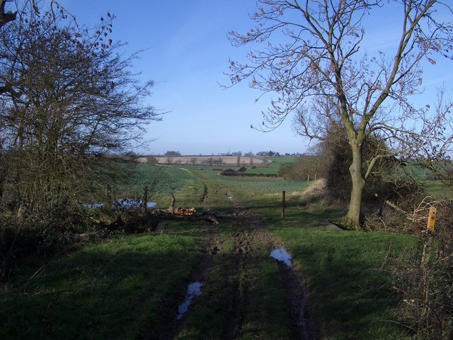
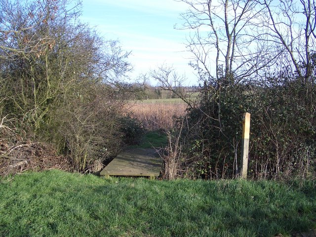
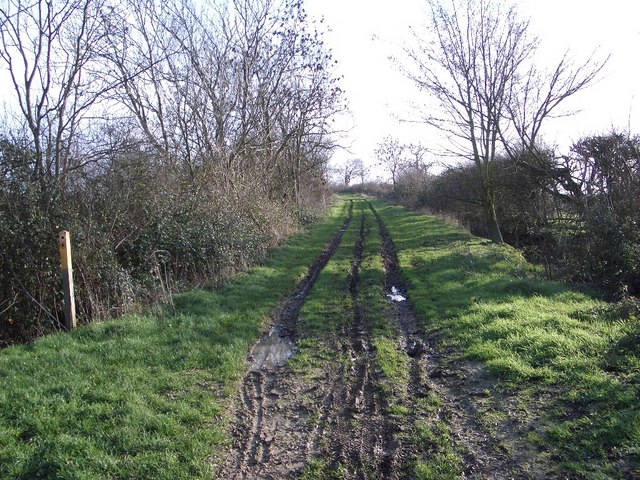
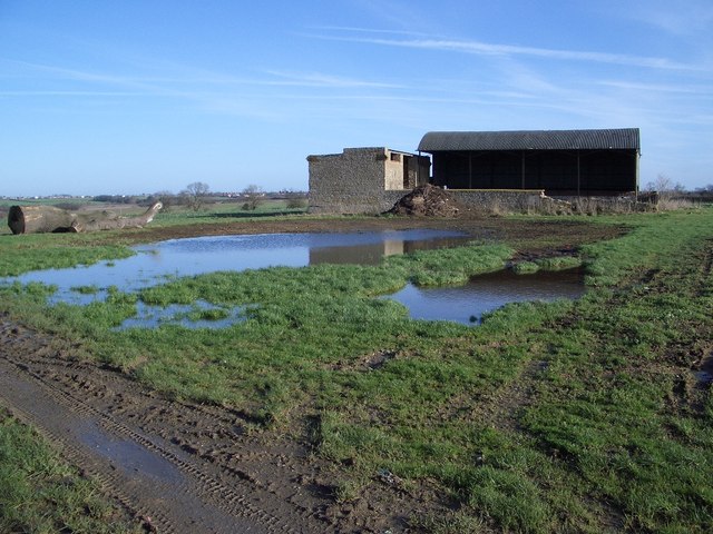
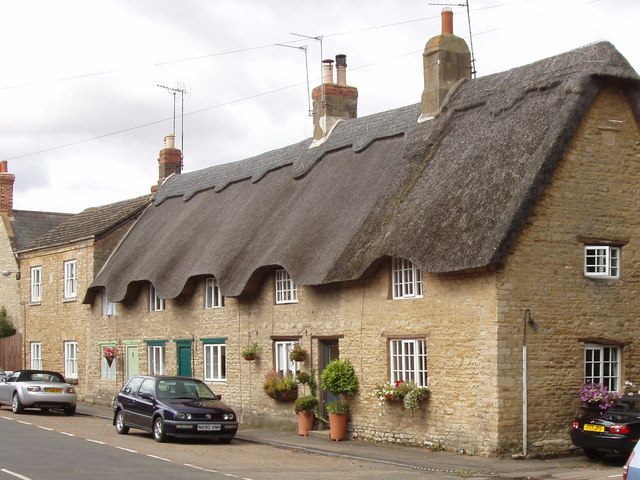
Alderman Spinney Images

Images are sourced within 2km of 52.256167/-0.63338324 or Grid Reference SP9362. Thanks to Geograph Open Source API. All images are credited.

Ford at Farndish This former byway ford at Farndish is now restricted to prohibit horsedrawn and motorised vehicles.
Ford at Farndish
This former byway ford at Farndish is now restricted to prohibit horsedrawn and motorised vehicles.
Hinwick House and Parkland This view of Hinwick House shows the south front viewed across its parkland from the hamlet of Hinwick. The House is Grade I listed and was built 1708-1714, with later additions, for Richard Orlebar.
Hinwick House and Parkland
This view of Hinwick House shows the south front viewed across its parkland from the hamlet of Hinwick. The House is Grade I listed and was built 1708-1714, with later additions, for Richard Orlebar.
Podington Post Office & High Street Although Podington is probably better known by its association with the Santa Pod drag racing circuit, the village itself is a jewel of vernacular architecture. It has been described as "an aged village of stone and thatch built around the 13th-Century Church of St Mary the Virgin" from where this photo was taken looking south and west.
Podington Post Office & High Street
Although Podington is probably better known by its association with the Santa Pod drag racing circuit, the village itself is a jewel of vernacular architecture. It has been described as "an aged village of stone and thatch built around the 13th-Century Church of St Mary the Virgin" from where this photo was taken looking south and west.
US Air Force War Memorial, Airfield Road, Podington Podington airfield was originally built to accommodate two RAF bomber squadrons but was handed over to the US 8th Army Air Force in 1942. The 92nd Bomb Group arrived in September 1943 and the memorial tells the rest of the story. The airfield was sold off in 1961 and is now better known for its Santa Pod raceway. This memorial is located beside the Airfield Road which accesses the latter and led to the former airfield.
US Air Force War Memorial, Airfield Road, Podington
Podington airfield was originally built to accommodate two RAF bomber squadrons but was handed over to the US 8th Army Air Force in 1942. The 92nd Bomb Group arrived in September 1943 and the memorial tells the rest of the story. The airfield was sold off in 1961 and is now better known for its Santa Pod raceway. This memorial is located beside the Airfield Road which accesses the latter and led to the former airfield.
Tree Avenue on Dungee to Hinwick Road Looking northwestwards, this fine avenue of trees extends for over 1km along the road that leads from Dungee Corner near Bozeat to the hamlet of Hinwick. The planting may originally have been associated with nearby Hinwick House.
Tree Avenue on Dungee to Hinwick Road
Looking northwestwards, this fine avenue of trees extends for over 1km along the road that leads from Dungee Corner near Bozeat to the hamlet of Hinwick. The planting may originally have been associated with nearby Hinwick House.
Hinwick Hall Hinwick Hall dates from the 16th century but was extensively remodelled in the 18th century when the east front was built, as appears above. Further changes were made in the 19th & 20th centuries. The house is Grade II* listed and is now put to excellent use as a further education college for young handicapped people.
Hinwick Hall
Hinwick Hall dates from the 16th century but was extensively remodelled in the 18th century when the east front was built, as appears above. Further changes were made in the 19th & 20th centuries. The house is Grade II* listed and is now put to excellent use as a further education college for young handicapped people.
Ornamental Canals & Entrance to Hinwick Hall The ornamental canals on either side of the entranceway to Hinwick Hall form an attractive feature leading to the Hall itself. The right-hand canal possesses a boat house closeby to the entrance.
Ornamental Canals & Entrance to Hinwick Hall
The ornamental canals on either side of the entranceway to Hinwick Hall form an attractive feature leading to the Hall itself. The right-hand canal possesses a boat house closeby to the entrance.
Boathouse at Hinwick Hall This attractive feature is to be found near to the entrance of the Hall beside the right-hand ornamental canal.
Boathouse at Hinwick Hall
This attractive feature is to be found near to the entrance of the Hall beside the right-hand ornamental canal.
Wrought Iron Entrance Gates at Hinwick Hall Looking towards the front, eastern elevation, of Hinwick Hall, these wrought iron garden gates, pilasters and side screens with attractive scrollwork are 18th century and Grade II* listed.
Wrought Iron Entrance Gates at Hinwick Hall
Looking towards the front, eastern elevation, of Hinwick Hall, these wrought iron garden gates, pilasters and side screens with attractive scrollwork are 18th century and Grade II* listed.
The Church of St Michael & All Angels at Farndish The church is thought to date from the late 12th century. It has a simple plan - nave and chancel only - with a low tower built inside the nave. The east window is 15th century and the south wall includes a very elegant 14th century ogee window. The church is currently redundant, though it remains consecrated and is looked after by the Redundant Churches Fund.
The Church of St Michael & All Angels at Farndish
The church is thought to date from the late 12th century. It has a simple plan - nave and chancel only - with a low tower built inside the nave. The east window is 15th century and the south wall includes a very elegant 14th century ogee window. The church is currently redundant, though it remains consecrated and is looked after by the Redundant Churches Fund.
St Michael's Church Doorway at Farndish The doorway is a good example of Early English craftsmanship. Local orange ironstone alternates with grey limestone lending the doorway a lively polychromatic effect.
St Michael's Church Doorway at Farndish
The doorway is a good example of Early English craftsmanship. Local orange ironstone alternates with grey limestone lending the doorway a lively polychromatic effect.
Communications Mast & Aerials near Irchester The mast is beside the back road between Farndish and Irchester. It is a surprising intrusion into an otherwise wholly rural setting.
Communications Mast & Aerials near Irchester
The mast is beside the back road between Farndish and Irchester. It is a surprising intrusion into an otherwise wholly rural setting.
Byway Bridge & Stream between Farndish & Wymington This modest bridge built of railway sleepers carries the byway that crosses the fields between the Irchester Road north of Farndish to the Wymington Road north of Poddington. The stream drains northwards behind camera and eventually joins the River Nene northwest of Rushden.
Byway Bridge & Stream between Farndish & Wymington
This modest bridge built of railway sleepers carries the byway that crosses the fields between the Irchester Road north of Farndish to the Wymington Road north of Poddington. The stream drains northwards behind camera and eventually joins the River Nene northwest of Rushden.
Water Trough beside the Byway north of Poddington This concrete water trough beside the Farndish-Wymington Byway is clearly a remnant of days when the surrounding fields were filled with animals; now the fields contain intensively farmed arable crops with not an animal in sight.
Water Trough beside the Byway north of Poddington
This concrete water trough beside the Farndish-Wymington Byway is clearly a remnant of days when the surrounding fields were filled with animals; now the fields contain intensively farmed arable crops with not an animal in sight.
Byway & Footpath Junction north of Poddington The Byway is seen here heading off westwards to meet the Irchester Road north of Farndish. A footpath leaves this point by the marker on the right of this photo and heads off towards the north of Wymington.
Byway & Footpath Junction north of Poddington
The Byway is seen here heading off westwards to meet the Irchester Road north of Farndish. A footpath leaves this point by the marker on the right of this photo and heads off towards the north of Wymington.
Footpath to Wymington The footpath to Wymington is seen here leaving the Farndish/Wymington Byway and crossing a footbridge over a drainage ditch, heading northwards.
Footpath to Wymington
The footpath to Wymington is seen here leaving the Farndish/Wymington Byway and crossing a footbridge over a drainage ditch, heading northwards.
Byway to Wymington The Byway shown here heads off towards the Wymington Road north of Poddington, along the parish boundary between the two villages. The more direct footpath to Wymington leaves the Byway by the marker post shown to the left of this photo.
Byway to Wymington
The Byway shown here heads off towards the Wymington Road north of Poddington, along the parish boundary between the two villages. The more direct footpath to Wymington leaves the Byway by the marker post shown to the left of this photo.
White's Barn near Farndish This barn and walled enclosure is probably a relic of days when animal farming was more prevalent in the area, but now almost entirely given over to arable farming. The limestone element of the building is particularly interesting and suggests a good age. Clearly the roof has been modified as there are ironstone corbels at either end suggesting a former pitched roof and gable ends, as well as other remnant details of interest.
White's Barn near Farndish
This barn and walled enclosure is probably a relic of days when animal farming was more prevalent in the area, but now almost entirely given over to arable farming. The limestone element of the building is particularly interesting and suggests a good age. Clearly the roof has been modified as there are ironstone corbels at either end suggesting a former pitched roof and gable ends, as well as other remnant details of interest.
Show me another place!

Alderman Spinney is located at Grid Ref: SP9362 (Lat: 52.256167, Lng: -0.63338324)

Unitary Authority: Bedford

Police Authority: Bedfordshire

What 3 Words

///shipyards.palms.skins. Near Podington, Bedfordshire

Related Wikis

Podington

Podington is a village and civil parish in Bedfordshire, England, United Kingdom. The village is within the electoral ward of Harrold in the Borough of...

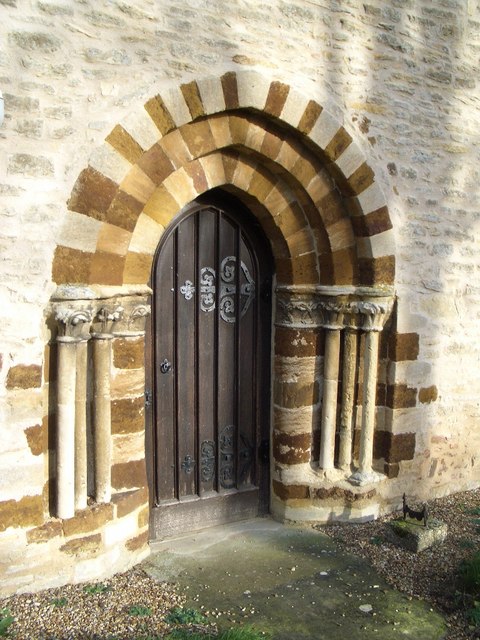
Church of St Mary, Podington

Church of St Mary, or St Mary the Virgin, is a Grade I listed church in Podington, Bedfordshire, England. It became a listed building on 13 July 1964,...

Podington Castle

Podington Castle, sometimes known as Puddington Manor Farm, was an 11th-century castle in the civil parish of Podington, in the county of Bedfordshire...
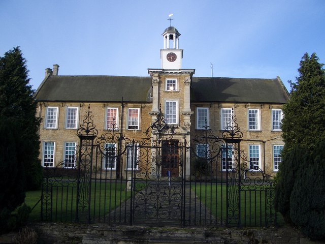
Hinwick House

Hinwick House is a Grade I-listed Queen Anne country house located about 90 minutes from Central London, near Podington in North Bedfordshire. The estate...

Nearby Amenities

Located within 500m of 52.256167,-0.63338324
Power: pole
Source: Bing
Lat/Long: 52.2526301/-0.628978
Power: pole
Source: Bing
Lat/Long: 52.2535135/-0.6288922
Power: pole
Source: Bing
Lat/Long: 52.2594439/-0.6375657
Power: pole
Source: Bing
Lat/Long: 52.2577266/-0.6324756
Power: pole
Source: Bing
Lat/Long: 52.2592436/-0.6338221
Power: pole
Source: Bing
Lat/Long: 52.2553656/-0.6304846
Power: pole
Source: Bing
Lat/Long: 52.2568597/-0.6317729
Power: pole
Source: Bing
Lat/Long: 52.2561537/-0.6311874
Power: pole
Source: Bing
Lat/Long: 52.2598215/-0.6360001
Power: pole
Source: Bing
Lat/Long: 52.2600677/-0.6347493
Power: pole
Source: Bing
Lat/Long: 52.254584/-0.6298363
Power: pole
Source: Bing
Lat/Long: 52.260117/-0.6345678
Power: pole
Source: Bing
Lat/Long: 52.2585048/-0.6331837
The data included in this document is from www.openstreetmap.org. The data is made available under ODbL.

Have you been to Alderman Spinney?

Leave your review of Alderman Spinney below (or comments, questions and feedback).