Furnace Moor

Wood, Forest in Surrey Waverley

England

Furnace Moor

Old Milestone, A283, Cripplecrutch Hill, Ramsnest Common The milestone, is located 270 m south of the Mulberry Inn on the North West side of the road in the bushes at the back of the verge. Parish of Chiddingfold (Waverley District).  Carved stone post, Petworth stone design, erected by the Petworth turnpike trust in the 18th century.

Inscription reads:-   HYDE PARK CORNER / 40 MILES / PETWORTH / 7 MILES / GODALMING / 8 MILES / CHIDDINGFOLD / 2 MILES

Milestone Society National ID: SY_LMP40
Old Milestone, A283, Cripplecrutch Hill, Ramsnest Common Credit: George Fitt

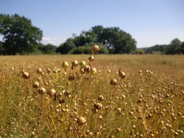
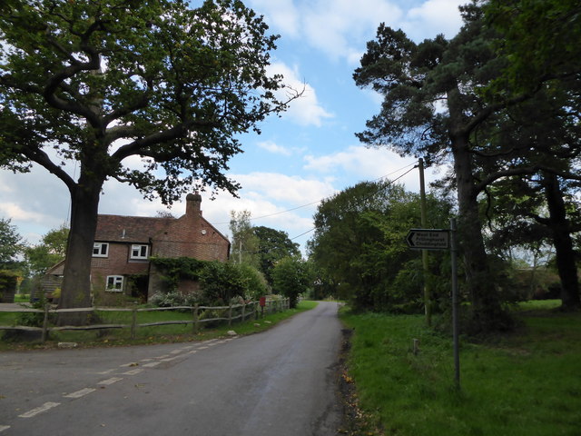
Furnace Moor, Surrey, is a picturesque woodland area located in the county of Surrey, England. Spanning over a vast expanse of land, this moor is known for its dense forest and beautiful woodlands. Situated in the southeastern part of the county, Furnace Moor offers a serene and tranquil escape from the hustle and bustle of city life.

The moor is characterized by its rich biodiversity, with a wide variety of flora and fauna thriving in its natural habitat. The dense forest is home to numerous species of trees, including oak, beech, and birch, which create a stunning canopy of greenery. This lush environment provides a haven for many woodland creatures, such as deer, foxes, and a diverse range of bird species.

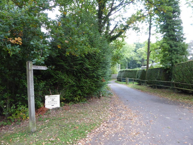
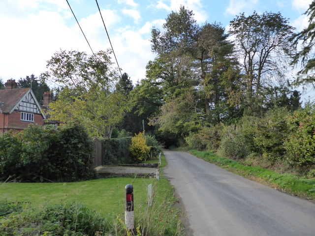
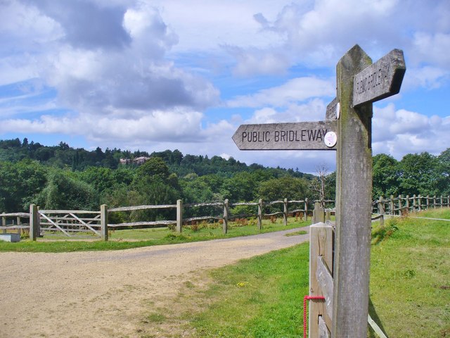
Visitors to Furnace Moor can enjoy a range of outdoor activities, including hiking, birdwatching, and nature photography. The moor is crisscrossed with well-maintained walking trails, allowing visitors to explore the breathtaking beauty of the woodlands at their own pace. The peaceful ambiance of the moor, coupled with the fresh scent of the forest, offers a truly rejuvenating experience for nature enthusiasts.

In addition to its natural beauty, Furnace Moor also holds historical significance. The area was once home to ironworks, hence the name "Furnace Moor." The remnants of these industrial structures can still be seen today, adding a touch of historical charm to the landscape.

Overall, Furnace Moor, Surrey, is a captivating destination for those seeking solace in nature. Its lush woodlands, diverse wildlife, and historical significance make it a truly enchanting place to explore.

If you have any feedback on the listing, please let us know in the comments section below.
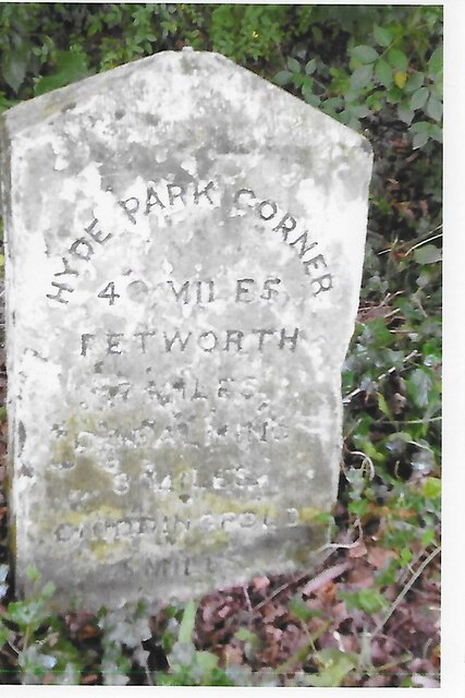
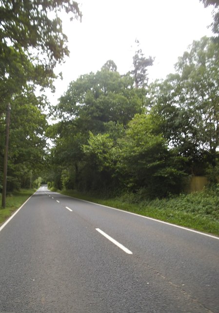
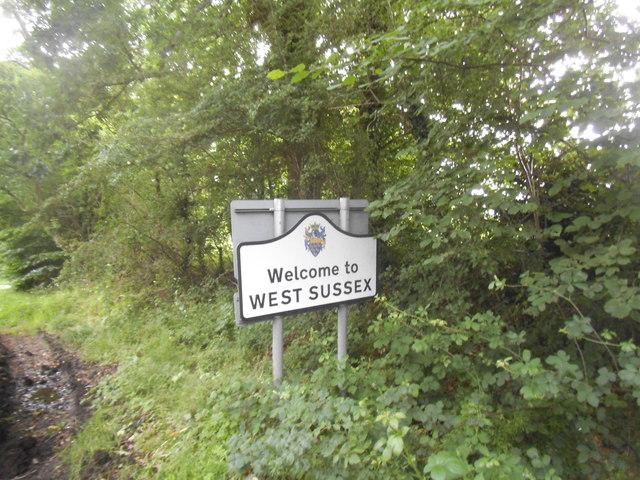
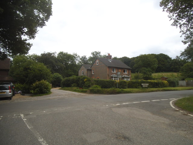
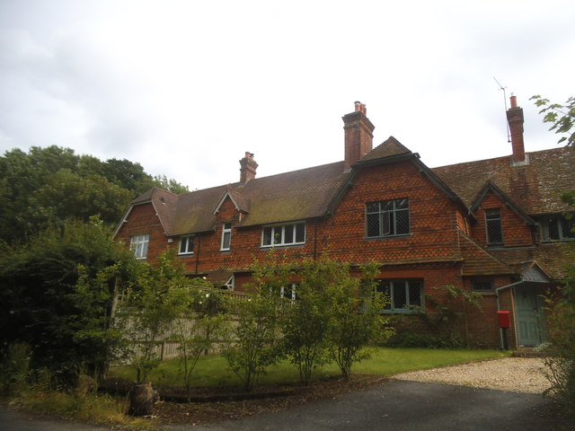
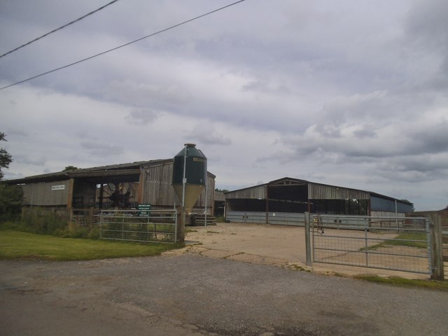
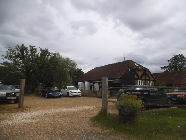
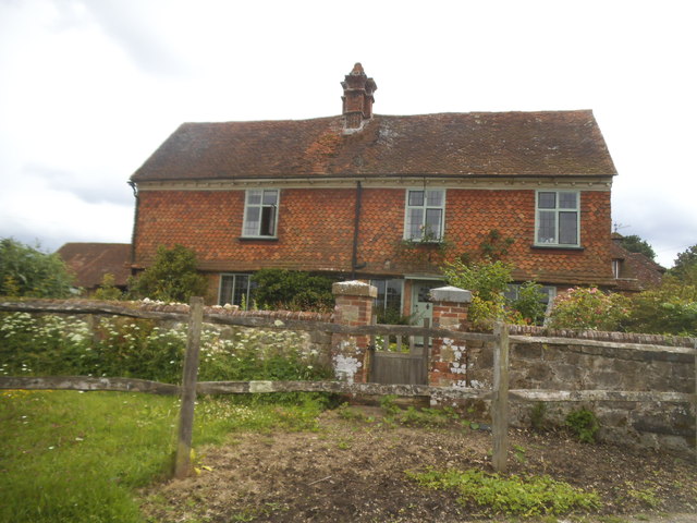
Furnace Moor Images

Images are sourced within 2km of 51.08992/-0.66810801 or Grid Reference SU9333. Thanks to Geograph Open Source API. All images are credited.

Old Milestone, A283, Cripplecrutch Hill, Ramsnest Common The milestone, is located 270 m south of the Mulberry Inn on the North West side of the road in the bushes at the back of the verge. Parish of Chiddingfold (Waverley District).  Carved stone post, Petworth stone design, erected by the Petworth turnpike trust in the 18th century.

Inscription reads:-   HYDE PARK CORNER / 40 MILES / PETWORTH / 7 MILES / GODALMING / 8 MILES / CHIDDINGFOLD / 2 MILES

Milestone Society National ID: SY_LMP40
Old Milestone, A283, Cripplecrutch Hill, Ramsnest Common
The milestone, is located 270 m south of the Mulberry Inn on the North West side of the road in the bushes at the back of the verge. Parish of Chiddingfold (Waverley District). Carved stone post, Petworth stone design, erected by the Petworth turnpike trust in the 18th century. Inscription reads:- HYDE PARK CORNER / 40 MILES / PETWORTH / 7 MILES / GODALMING / 8 MILES / CHIDDINGFOLD / 2 MILES Milestone Society National ID: SY_LMP40
Cripplecrutch Hill, Ramsnest Common
Where am I? Cripplecrutch Hill, Ramsnest Common
Where am I?
Cripplecrutch Hill, Ramsnest Common
The entrance to Ramster Garden
Petworth Road, Ramsnest Common
Lower Road at the junction of Clammer Hill
Houses on Prestwick Lane, Grayswood
Prestwick Farm, Grayswood
High Prestwick Farm, Grayswood
High Prestwick Farmhouse, Grayswood
Ripe flax Acres of ripe flax - bringing a distinctive russety colour to the August landscape.
Ripe flax
Acres of ripe flax - bringing a distinctive russety colour to the August landscape.
Exploring eastwards  along the Bashire (1) The junction of Three Gates and Holdfast Lanes
Running total: 20 B points
Exploring eastwards along the Bashire (1)
The junction of Three Gates and Holdfast Lanes Running total: 20 B points
Exploring eastwards  along the Bashire (2) Footpath begins from Holdfast Lane and Imbhams Farm
Running total: 21 B points
Exploring eastwards along the Bashire (2)
Footpath begins from Holdfast Lane and Imbhams Farm Running total: 21 B points
Exploring eastwards along the Bashire (3) Rush hour in Killinghurst
Running total: 22 B points
Exploring eastwards along the Bashire (3)
Rush hour in Killinghurst Running total: 22 B points
Exploring eastwards  along the Bashire (4) Looking west-northwest along Killinghurst Lane
Running total: 23 B points
Exploring eastwards along the Bashire (4)
Looking west-northwest along Killinghurst Lane Running total: 23 B points
High Barn Farm Bridleways passing between paddocks in a valley SE of Haslemere.
High Barn Farm
Bridleways passing between paddocks in a valley SE of Haslemere.
Entering Surrey, A283 The A283 runs 37 miles from Milford near Guildford south to Shoreham-on-Sea across rural Surrey and West Sussex.
<span class="nowrap"><a title="https://www.sabre-roads.org.uk/wiki/index.php?title=A283" rel="nofollow ugc noopener" href="https://www.sabre-roads.org.uk/wiki/index.php?title=A283">Link</a><img style="margin-left:2px;" alt="External link" title="External link - shift click to open in new window" src="https://s1.geograph.org.uk/img/external.png" width="10" height="10"/></span>
Entering Surrey, A283
The A283 runs 37 miles from Milford near Guildford south to Shoreham-on-Sea across rural Surrey and West Sussex. LinkExternal link
Show me another place!

Furnace Moor is located at Grid Ref: SU9333 (Lat: 51.08992, Lng: -0.66810801)

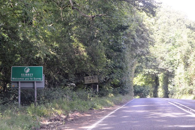
Administrative County: Surrey

District: Waverley

Police Authority: Surrey

What 3 Words

///hook.bandaged.gathering. Near Haslemere, Surrey

Related Wikis

Ramsnest Common

Ramsnest Common is a hamlet in the far south of the Borough of Waverley, the largest district of Surrey, England centred on the A283 1.5 miles (2.4 km...

Netherside Stream Outcrops

Netherside Stream Outcrops is a 2.9-hectare (7.2-acre) geological Site of Special Scientific Interest north-east of Haslemere in Surrey. It is a Geological...

Ramster

Ramster Garden is an open garden, near Chiddingfold, Surrey, covering over 20 acres (81,000 m2). First landscaped and laid out in the 1890s by Gauntlett...

All Saints' Church, Grayswood

All Saints' Church is an active parish church in the village of Grayswood, Surrey, England. The church stands in the centre of the village and was built...

Haste Hill

Haste Hill is a hill near Haslemere, Surrey in England which was probably the original settlement of the town of Haslemere. It was used as the site of...

Haslemere Town Hall

Haslemere Town Hall is a municipal building in the High Street, Haslemere, Surrey, England. The structure, which serves as the meeting place of Haslemere...

Serpent Trail

The Serpent Trail is a 64-mile (103 km) long distance footpath. It runs from Haslemere to Petersfield, which are 11 miles apart in a straight line, by...

The Curry Club

The Curry Club was founded by Pat Chapman in 1982, to further the understanding and appreciation of the cuisines of the Indian subcontinent. In 2007 it...

Nearby Amenities

Located within 500m of 51.08992,-0.66810801
Killinghurst
Building: residential
Source: npe
Wikidata: Q26540652
Lat/Long: 51.0923242/-0.6627306
Furnace Place
Building: yes
Source: npe
Wikidata: Q26540653
Lat/Long: 51.0901259/-0.6722816
Verney Copse
Natural: wood
Source: os_street_view
Lat/Long: 51.0877414/-0.6674605
Barrier: stile
Lat/Long: 51.0864544/-0.6701552
The data included in this document is from www.openstreetmap.org. The data is made available under ODbL.

Have you been to Furnace Moor?

Leave your review of Furnace Moor below (or comments, questions and feedback).