Long Plantation
Wood, Forest in Bedfordshire
England
Long Plantation

The requested URL returned error: 429 Too Many Requests
If you have any feedback on the listing, please let us know in the comments section below.
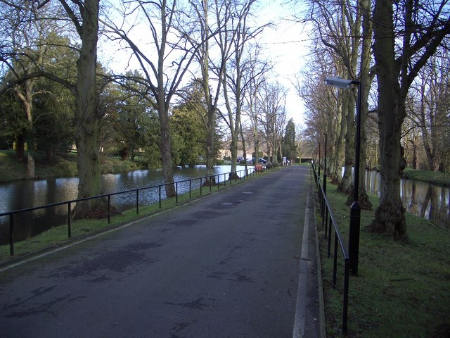
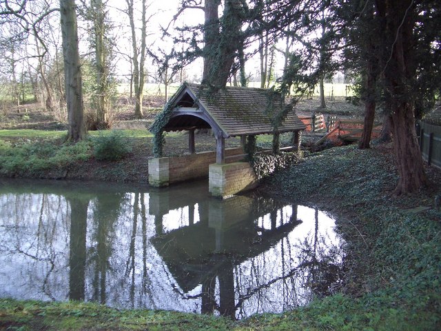
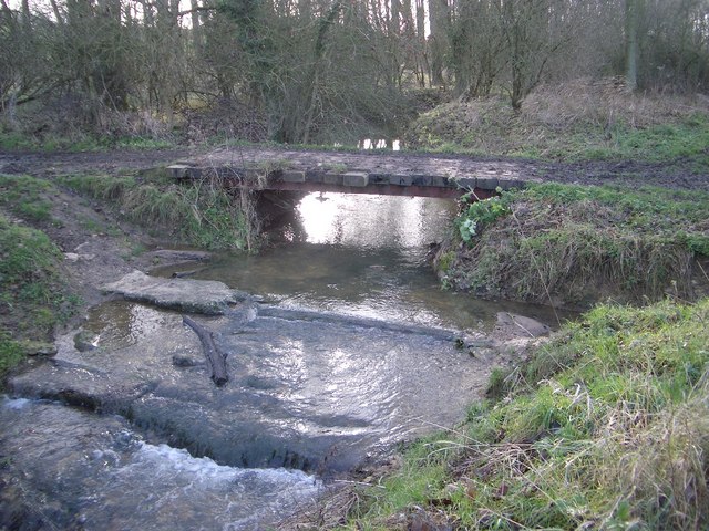
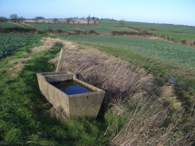
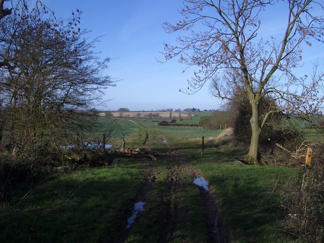
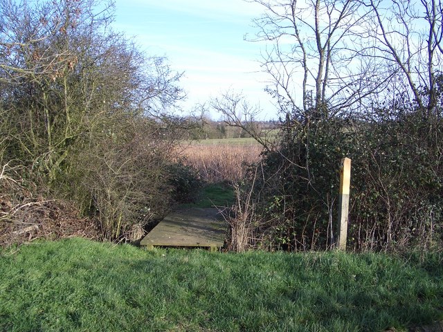
Long Plantation Images
Images are sourced within 2km of 52.254147/-0.63750344 or Grid Reference SP9362. Thanks to Geograph Open Source API. All images are credited.


Long Plantation is located at Grid Ref: SP9362 (Lat: 52.254147, Lng: -0.63750344)
Unitary Authority: Bedford
Police Authority: Bedfordshire
What 3 Words
///ballots.equipping.teacher. Near Podington, Bedfordshire
Nearby Locations
Related Wikis
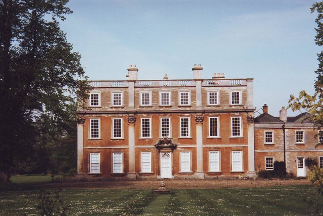
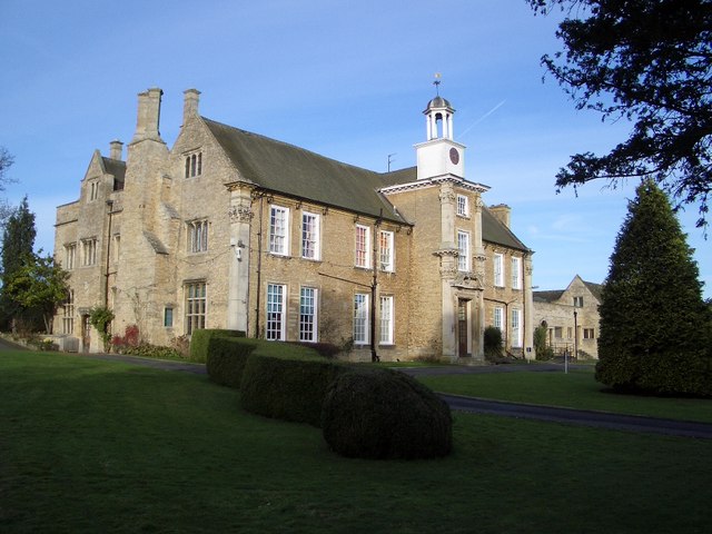
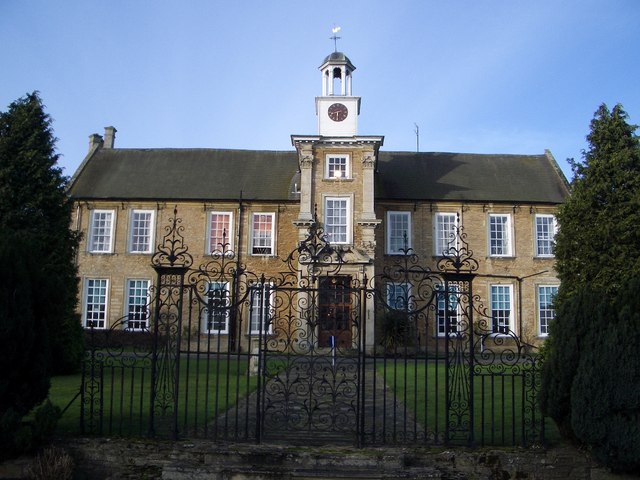
Hinwick House
Hinwick House is a Grade I-listed Queen Anne country house located about 90 minutes from Central London, near Podington in North Bedfordshire. The estate...
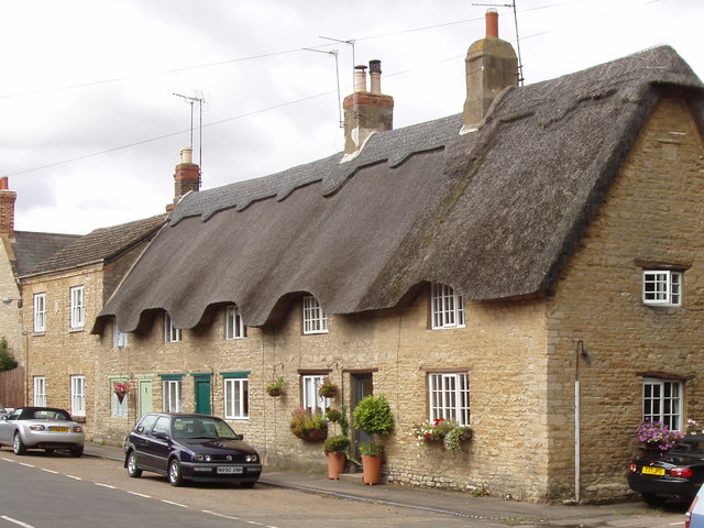
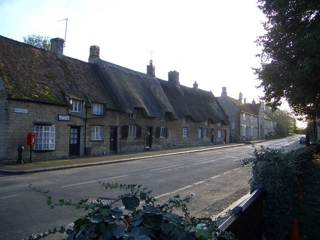
Podington
Podington is a village and civil parish in Bedfordshire, England, United Kingdom. The village is within the electoral ward of Harrold in the Borough of...

Farndish
Farndish is a village and former civil parish, now in the parish of Podington, in the Bedford district, in northwest Bedfordshire, England, located about...

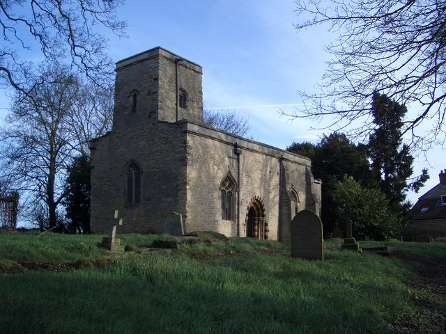
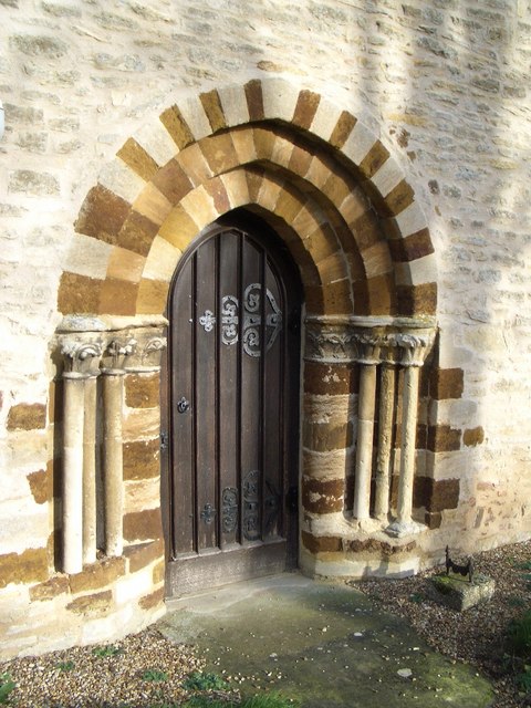
Church of St Mary, Podington
Church of St Mary, or St Mary the Virgin, is a Grade I listed church in Podington, Bedfordshire, England. It became a listed building on 13 July 1964,...
Nearby Amenities
Located within 500m of 52.254147,-0.63750344Have you been to Long Plantation?
Leave your review of Long Plantation below (or comments, questions and feedback).