Apesfield Spring

Wood, Forest in Bedfordshire

England

Apesfield Spring

The A5 Watling Street, Sheeplane
The A5 Watling Street, Sheeplane Credit: David Howard

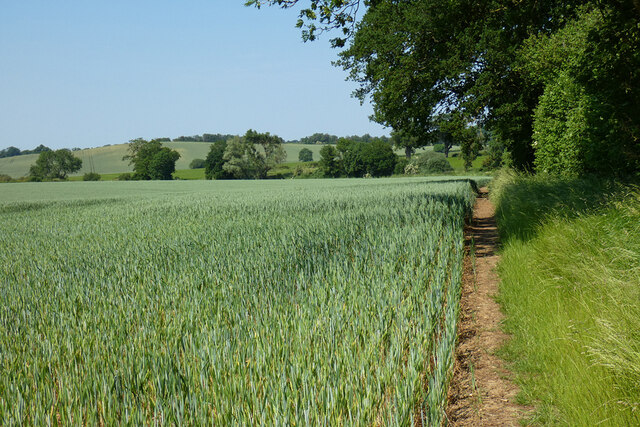
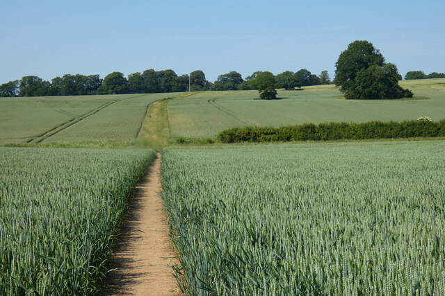
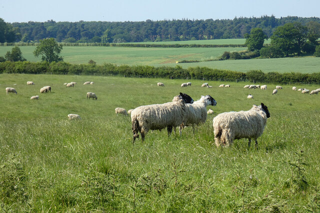
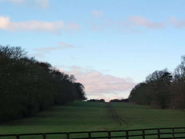
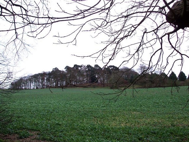
Apesfield Spring is a picturesque woodland located in Bedfordshire, England. Covering an area of approximately 200 acres, it is known for its stunning natural beauty and diverse range of flora and fauna. The woodland is part of the larger Apesfield estate, which has been owned by the same family for several generations.

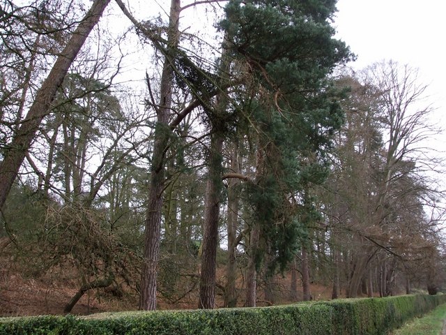
The woodland is characterized by its dense canopy of oak, beech, and ash trees, which provide a habitat for a variety of wildlife. Visitors to Apesfield Spring can expect to encounter numerous bird species, including woodpeckers, owls, and various songbirds. The woodland floor is adorned with an assortment of wildflowers, such as bluebells, primroses, and violets, creating a vibrant display during the spring and summer months.

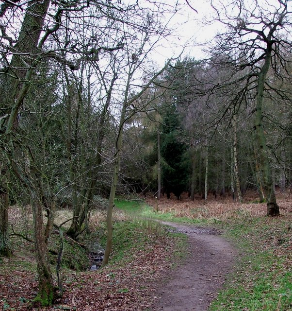
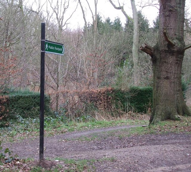
Apesfield Spring offers several walking trails that allow visitors to explore the natural beauty of the woodland. These trails wind through the trees, offering glimpses of small ponds and streams, adding to the tranquil atmosphere. Photography enthusiasts will find plenty of opportunities to capture the beauty of the woodland and its inhabitants.

The woodland is managed by a dedicated team of conservationists who work to preserve its natural habitats and protect its wildlife. They conduct regular surveys and implement sustainable practices to ensure the long-term health of the woodland ecosystem.

Apesfield Spring is a true gem of Bedfordshire, offering visitors a chance to escape the hustle and bustle of everyday life and immerse themselves in the beauty of nature. Whether it's a peaceful walk, birdwatching, or simply enjoying the serenity of the surroundings, Apesfield Spring is a must-visit destination for nature lovers.

If you have any feedback on the listing, please let us know in the comments section below.

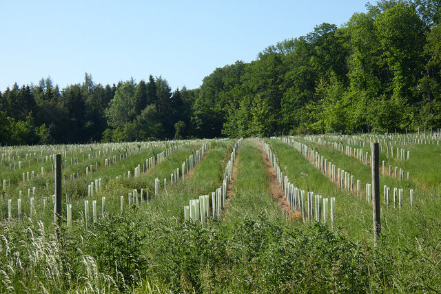
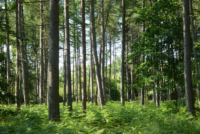
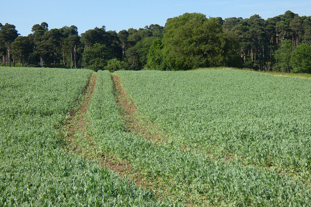
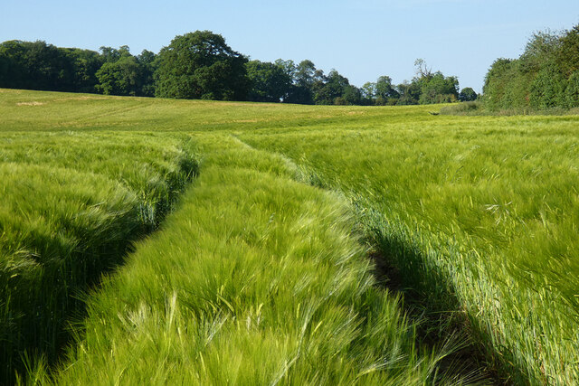
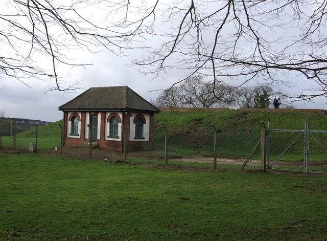
Apesfield Spring Images

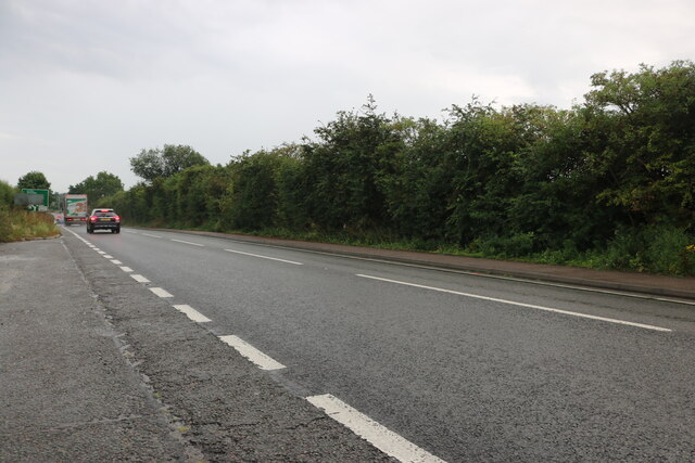
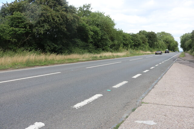
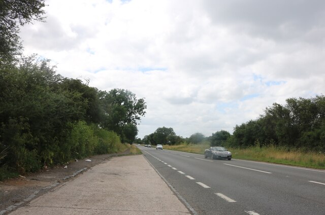
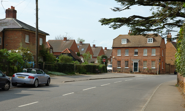
Images are sourced within 2km of 51.977992/-0.64755639 or Grid Reference SP9231. Thanks to Geograph Open Source API. All images are credited.

The A5 Watling Street, Sheeplane
Farmland, Woburn A footpath to the north of Potsgrove follows the field's edge.
Farmland, Woburn
A footpath to the north of Potsgrove follows the field's edge.
Farmland, Woburn A footpath through wheat to the south of the village.
Farmland, Woburn
A footpath through wheat to the south of the village.
Pasture, Potsgrove Sheep grazing in a field to the east of Sheep Lane.
Pasture, Potsgrove
Sheep grazing in a field to the east of Sheep Lane.
Woodland, Little Brickhill A replanted area in the south of Buttermilk Wood.
Woodland, Little Brickhill
A replanted area in the south of Buttermilk Wood.
Woodland, Woburn Mostly pines to the north of the junction of paths in Lowe's Wood.
Woodland, Woburn
Mostly pines to the north of the junction of paths in Lowe's Wood.
Farmland, Woburn Peas to the west of Job's Farm.
Farmland, Woburn
Peas to the west of Job's Farm.
Farmland, Woburn Barley to the north of the ruins of Horsemoor Farm.
Farmland, Woburn
Barley to the north of the ruins of Horsemoor Farm.
Watling Street, Sheeplane
SP9432  tree avenue looking W
SP9432 tree avenue looking W
Woburn, Bedfordshire Where the A5130 just crosses the North Eastern corner of the grid square.
Woburn, Bedfordshire
Where the A5130 just crosses the North Eastern corner of the grid square.
Path into Buttermilk Wood near Lowe's Wood This path leads into the woods in the heart of a quite large wood. Different parts of the wood have different names, and this path leads into what appears from the map to be called Buttermilk Wood, but is also close to Lowe's Wood.
Path into Buttermilk Wood near Lowe's Wood
This path leads into the woods in the heart of a quite large wood. Different parts of the wood have different names, and this path leads into what appears from the map to be called Buttermilk Wood, but is also close to Lowe's Wood.
Roadside pines A very neatly trimmed hedge separates these pines on the edge of Charle Wood from the lane from Little Brickhill to Woburn. The whole of this area probably once belonged to the Dukes of Bedford whose ancestral home of Woburn Abbey is nearby - they may well still own all the woodland.
Roadside pines
A very neatly trimmed hedge separates these pines on the edge of Charle Wood from the lane from Little Brickhill to Woburn. The whole of this area probably once belonged to the Dukes of Bedford whose ancestral home of Woburn Abbey is nearby - they may well still own all the woodland.
Waterworks Building, Little Brickhill Behind this little Waterworks building can be seen rising the embankment of one of two covered reservoirs here.
Waterworks Building, Little Brickhill
Behind this little Waterworks building can be seen rising the embankment of one of two covered reservoirs here.
Footpath into the woods near Shire Oak This sign points the way to <a href="https://www.geograph.org.uk/photo/311246">SP9232 : Path into Buttermilk Wood near Lowe's Wood</a>. It forms part of the Milton Keynes Boundary Walk - which makes M.K. cover a pretty large area. As can be seen from the maps of the area this is in the midst of a wood near a place called Shire Oak.
Footpath into the woods near Shire Oak
This sign points the way to SP9232 : Path into Buttermilk Wood near Lowe's Wood. It forms part of the Milton Keynes Boundary Walk - which makes M.K. cover a pretty large area. As can be seen from the maps of the area this is in the midst of a wood near a place called Shire Oak.
Pumpkin Park This little wood on rising ground to the southwest of Pinfoldpond is called "Pumpkin Park". The photo was taken from roughly opposite <a href="https://www.geograph.org.uk/photo/311254">SP9332 : Roadside pines</a>.
Pumpkin Park
This little wood on rising ground to the southwest of Pinfoldpond is called "Pumpkin Park". The photo was taken from roughly opposite SP9332 : Roadside pines.
Covered Reservoir, Little Brickhill There are two covered reservoirs here, south-east of the village of Little Brickhill. The one seen here is the further from the village. In front of it can be seen <a href="https://www.geograph.org.uk/photo/313264">SP9132 : Waterworks Building, Little Brickhill</a> which presumably contains control equipment for the reservoirs.
Covered Reservoir, Little Brickhill
There are two covered reservoirs here, south-east of the village of Little Brickhill. The one seen here is the further from the village. In front of it can be seen SP9132 : Waterworks Building, Little Brickhill which presumably contains control equipment for the reservoirs.
Show me another place!

Apesfield Spring is located at Grid Ref: SP9231 (Lat: 51.977992, Lng: -0.64755639)

Unitary Authority: Central Bedfordshire

Police Authority: Bedfordshire

What 3 Words

///pavement.universal.remission. Near Woburn, Bedfordshire

Nearby Locations

Nun Wood Apesfield Spring

Related Wikis

Woburn Cottage Hospital

Woburn Cottage Hospital was a hospital in Woburn, Bedfordshire, England. == History == Mary, the Duchess of Bedford (1865–1937) developed an interest in...

2016 Women's British Open

The 2016 Ricoh Women's British Open was played 28–31 July in England at the Woburn Golf and Country Club near Milton Keynes, Buckinghamshire, northwest...

Woburn Golf and Country Club

Woburn Golf Club is a golf club in England located in Little Brickhill, near Milton Keynes within the county of Bedfordshire, about fifty miles (80 km...

2019 Women's British Open

The 2019 AIG Women's British Open was played from 1–4 August in England at Woburn Golf Club in Milton Keynes, Buckinghamshire, fifty miles (80 km) northwest...

Have you been to Apesfield Spring?

Leave your review of Apesfield Spring below (or comments, questions and feedback).