Nun Wood

Wood, Forest in Buckinghamshire

England

Nun Wood

The A5 Watling Street, Sheeplane
The A5 Watling Street, Sheeplane Credit: David Howard

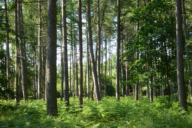
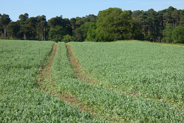
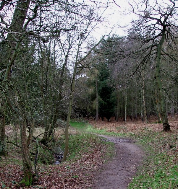
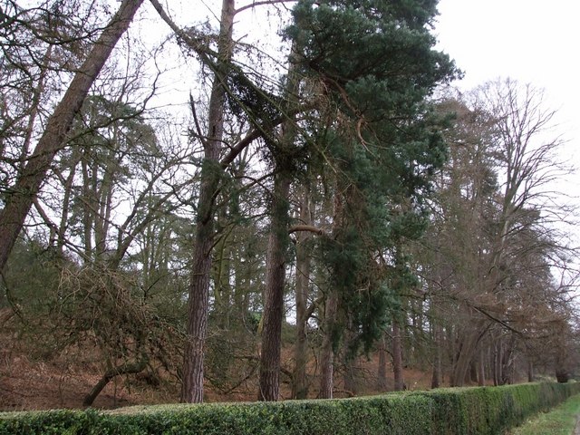
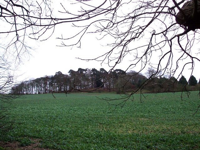
Nun Wood is a picturesque forest located in the county of Buckinghamshire, England. Covering an area of approximately 100 acres, it is situated near the village of Stewkley, just a few miles south of the town of Leighton Buzzard. The woodland is characterized by its diverse range of tree species, including oak, beech, birch, and pine, creating a rich and vibrant environment.

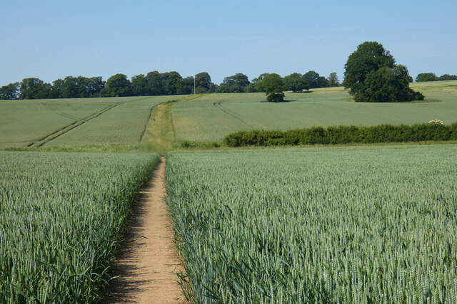
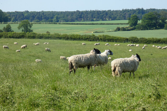
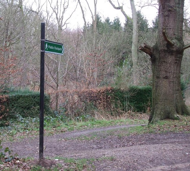
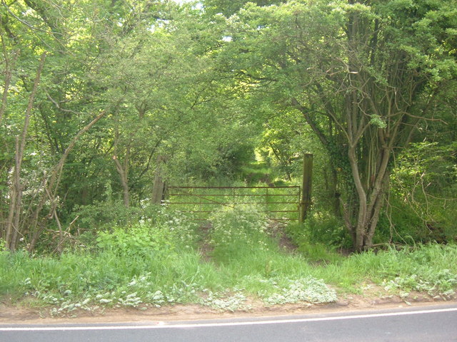
The forest is a popular destination for nature enthusiasts, hikers, and photographers, offering a tranquil and peaceful escape from the bustling city life. Its well-maintained footpaths and trails allow visitors to explore and immerse themselves in the natural beauty of the surroundings. The area is also home to a variety of wildlife, including deer, foxes, and a wide array of bird species, making it a haven for birdwatchers.

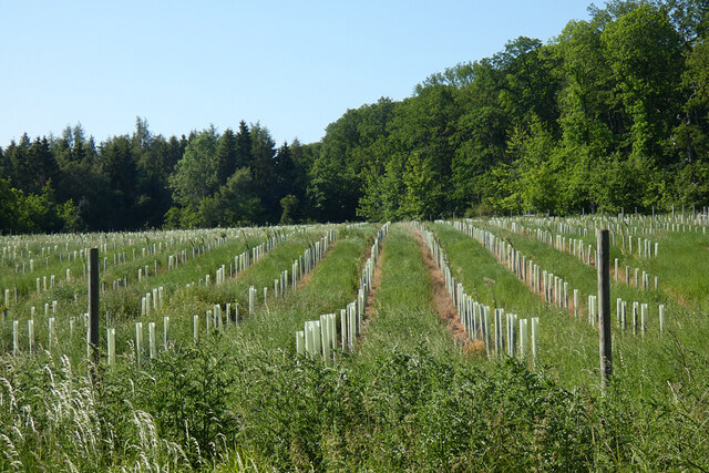
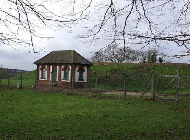
Nun Wood has a rich history dating back centuries. The name itself is believed to be derived from a former nunnery that once existed in the vicinity. The woodland has been carefully managed over the years, ensuring the preservation of its unique ecosystem and maintaining its natural charm.

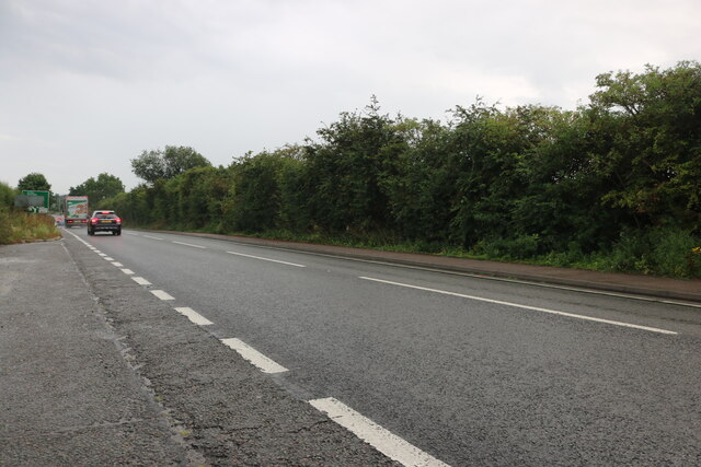
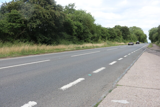
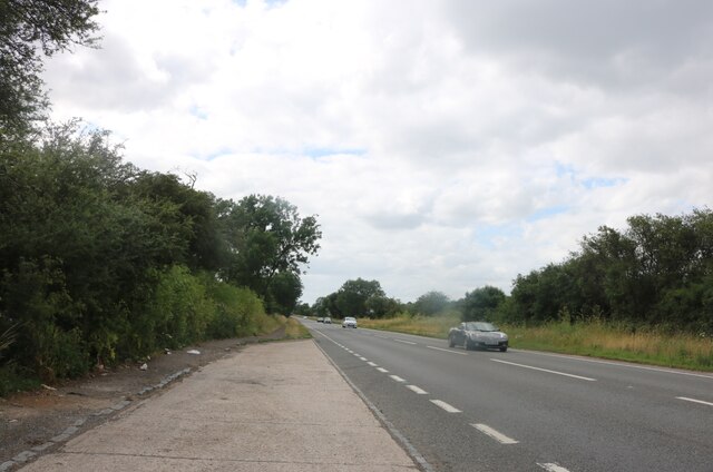
The forest is easily accessible, with a dedicated car park and nearby public transport links. It is open to the public throughout the year, although certain areas may be restricted during specific seasons for conservation purposes. Whether it's a leisurely walk, a family picnic, or simply a moment of solitude in nature, Nun Wood offers a peaceful retreat for visitors of all ages to enjoy.

If you have any feedback on the listing, please let us know in the comments section below.

Nun Wood Images

Images are sourced within 2km of 51.973045/-0.64974349 or Grid Reference SP9231. Thanks to Geograph Open Source API. All images are credited.

The A5 Watling Street, Sheeplane
Farmland, Potsgrove A footpath through wheat, like most in the area, has been well reinstated.
Farmland, Potsgrove
A footpath through wheat, like most in the area, has been well reinstated.
Farmland, Woburn A footpath through wheat to the south of the village.
Farmland, Woburn
A footpath through wheat to the south of the village.
Pasture, Potsgrove Sheep grazing in a field to the east of Sheep Lane.
Pasture, Potsgrove
Sheep grazing in a field to the east of Sheep Lane.
Woodland, Little Brickhill A replanted area in the south of Buttermilk Wood.
Woodland, Little Brickhill
A replanted area in the south of Buttermilk Wood.
Woodland, Woburn Mostly pines to the north of the junction of paths in Lowe's Wood.
Woodland, Woburn
Mostly pines to the north of the junction of paths in Lowe's Wood.
Farmland, Woburn Peas to the west of Job's Farm.
Farmland, Woburn
Peas to the west of Job's Farm.
Watling Street, Sheeplane
Path into Buttermilk Wood near Lowe's Wood This path leads into the woods in the heart of a quite large wood. Different parts of the wood have different names, and this path leads into what appears from the map to be called Buttermilk Wood, but is also close to Lowe's Wood.
Path into Buttermilk Wood near Lowe's Wood
This path leads into the woods in the heart of a quite large wood. Different parts of the wood have different names, and this path leads into what appears from the map to be called Buttermilk Wood, but is also close to Lowe's Wood.
Roadside pines A very neatly trimmed hedge separates these pines on the edge of Charle Wood from the lane from Little Brickhill to Woburn. The whole of this area probably once belonged to the Dukes of Bedford whose ancestral home of Woburn Abbey is nearby - they may well still own all the woodland.
Roadside pines
A very neatly trimmed hedge separates these pines on the edge of Charle Wood from the lane from Little Brickhill to Woburn. The whole of this area probably once belonged to the Dukes of Bedford whose ancestral home of Woburn Abbey is nearby - they may well still own all the woodland.
Waterworks Building, Little Brickhill Behind this little Waterworks building can be seen rising the embankment of one of two covered reservoirs here.
Waterworks Building, Little Brickhill
Behind this little Waterworks building can be seen rising the embankment of one of two covered reservoirs here.
Footpath into the woods near Shire Oak This sign points the way to <a href="https://www.geograph.org.uk/photo/311246">SP9232 : Path into Buttermilk Wood near Lowe's Wood</a>. It forms part of the Milton Keynes Boundary Walk - which makes M.K. cover a pretty large area. As can be seen from the maps of the area this is in the midst of a wood near a place called Shire Oak.
Footpath into the woods near Shire Oak
This sign points the way to SP9232 : Path into Buttermilk Wood near Lowe's Wood. It forms part of the Milton Keynes Boundary Walk - which makes M.K. cover a pretty large area. As can be seen from the maps of the area this is in the midst of a wood near a place called Shire Oak.
Pumpkin Park This little wood on rising ground to the southwest of Pinfoldpond is called "Pumpkin Park". The photo was taken from roughly opposite <a href="https://www.geograph.org.uk/photo/311254">SP9332 : Roadside pines</a>.
Pumpkin Park
This little wood on rising ground to the southwest of Pinfoldpond is called "Pumpkin Park". The photo was taken from roughly opposite SP9332 : Roadside pines.
Covered Reservoir, Little Brickhill There are two covered reservoirs here, south-east of the village of Little Brickhill. The one seen here is the further from the village. In front of it can be seen <a href="https://www.geograph.org.uk/photo/313264">SP9132 : Waterworks Building, Little Brickhill</a> which presumably contains control equipment for the reservoirs.
Covered Reservoir, Little Brickhill
There are two covered reservoirs here, south-east of the village of Little Brickhill. The one seen here is the further from the village. In front of it can be seen SP9132 : Waterworks Building, Little Brickhill which presumably contains control equipment for the reservoirs.
Track to Park Farm near Little Brickhill The A5 now avoids Little Brickhill on a new road. The old road becoming a quiet no-through road. At the closed end of this old road this track leads off to Park Farm.
Track to Park Farm near Little Brickhill
The A5 now avoids Little Brickhill on a new road. The old road becoming a quiet no-through road. At the closed end of this old road this track leads off to Park Farm.
Mast & Tree This telecom mast is opposite the junction where the slip road from the (comparatively) new A5 Little Brickhill bypass joins the course of the old A5.
Mast & Tree
This telecom mast is opposite the junction where the slip road from the (comparatively) new A5 Little Brickhill bypass joins the course of the old A5.
Watling Street Tree This tree has attained goodly proportions despite being in close proximity to the very busy A5 Watling Street, part of which can be seen on the right.
Watling Street Tree
This tree has attained goodly proportions despite being in close proximity to the very busy A5 Watling Street, part of which can be seen on the right.
Show me another place!

Nun Wood is located at Grid Ref: SP9231 (Lat: 51.973045, Lng: -0.64974349)

Unitary Authority: Milton Keynes

Police Authority: Thames Valley

What 3 Words

///humble.tram.wonderful. Near Potsgrove, Bedfordshire

Nearby Locations

Nun Wood Apesfield Spring

Related Wikis

Kings and Bakers Woods and Heaths

Kings and Bakers Woods and Heaths is a 212.8-hectare (526-acre) Site of Special Scientific Interest (SSSI) between Heath and Reach in Bedfordshire and...

King's Wood, Heath and Reach

King's Wood is an area of ancient woodland in the parish of Heath and Reach in Bedfordshire, England. The wood lies north of the village of Heath and...

Woburn Cottage Hospital

Woburn Cottage Hospital was a hospital in Woburn, Bedfordshire, England. == History == Mary, the Duchess of Bedford (1865–1937) developed an interest in...

Little Brickhill

Little Brickhill is a village and civil parish in the unitary authority area of the City of Milton Keynes, Buckinghamshire, England. Located immediately...

Nearby Amenities

Located within 500m of 51.973045,-0.64974349
Parking
Lat/Long: 51.9695977/-0.6538852
Building: yes
Lat/Long: 51.9734477/-0.6438602
The data included in this document is from www.openstreetmap.org. The data is made available under ODbL.

Have you been to Nun Wood?

Leave your review of Nun Wood below (or comments, questions and feedback).