Willow Coppice

Wood, Forest in Buckinghamshire

England

Willow Coppice

Fields by Asheridge Road, Chesham
Fields by Asheridge Road, Chesham Credit: David Howard

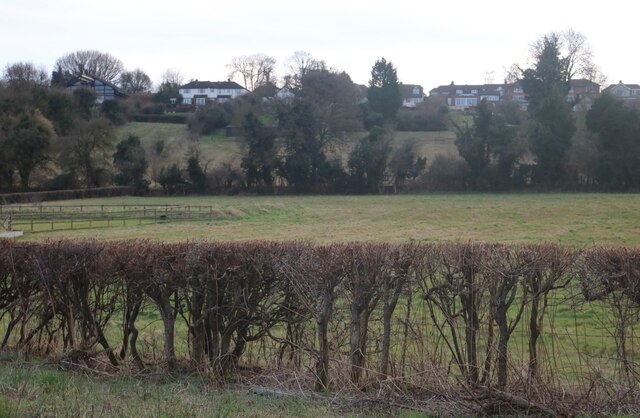
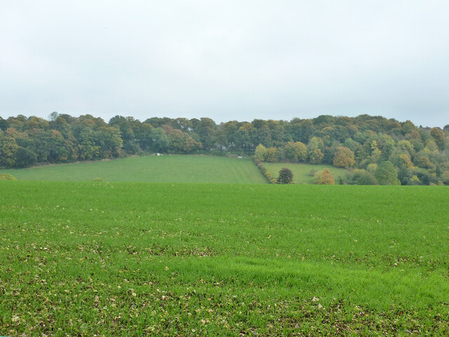
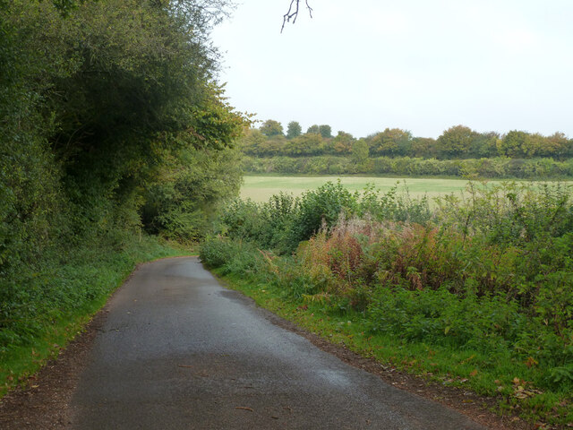
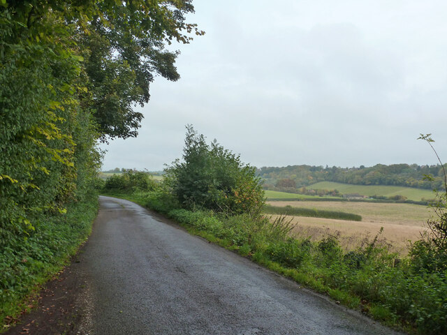
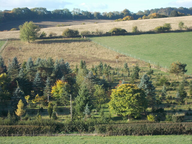
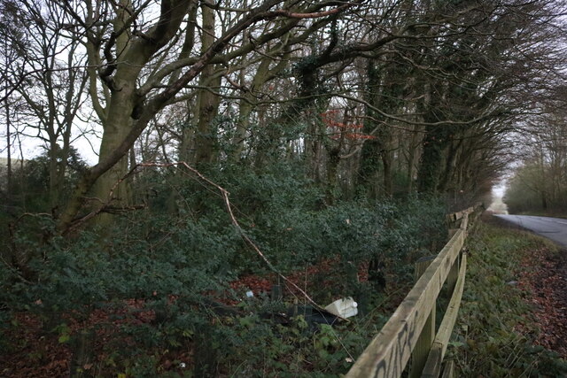
Willow Coppice is a picturesque woodland located in Buckinghamshire, England. Covering an area of approximately 50 acres, it is a thriving example of a coppiced woodland, characterized by the growth of willow trees. The forest is well-known for its dense canopy, which provides a cool and shaded environment even during the summer months.

The woodland is home to a diverse range of flora and fauna. The dominant tree species, as the name suggests, is the willow tree. These trees are typically coppiced, a traditional method of woodland management where trees are cut down to the stump periodically to encourage new growth. This practice not only ensures a sustainable timber supply but also creates a unique habitat for various species.

Walking through Willow Coppice, visitors can expect to see a variety of wildlife. The woodland is a haven for birds, including woodpeckers, owls, and various songbirds. Mammals such as deer, foxes, and rabbits can also be spotted, along with a rich assortment of insects and butterflies.

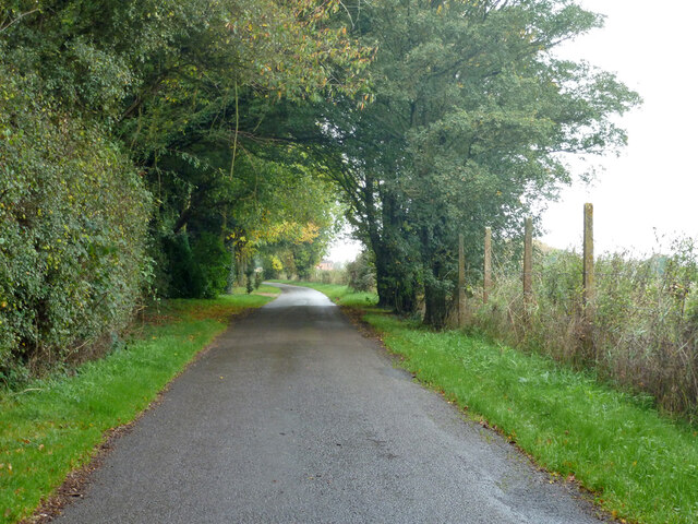
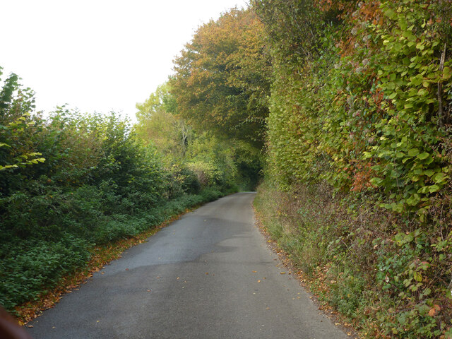
The woodland offers several walking trails, allowing visitors to explore its natural beauty. The paths wind through the trees, providing glimpses of tranquil ponds and wildflower meadows. It is a popular destination for nature enthusiasts, photographers, and families looking for a peaceful day out in nature.

Willow Coppice is not only a beautiful woodland but also a valuable ecosystem, providing habitat for numerous plant and animal species. Its tranquil atmosphere and scenic views make it a beloved destination for locals and tourists alike.

If you have any feedback on the listing, please let us know in the comments section below.

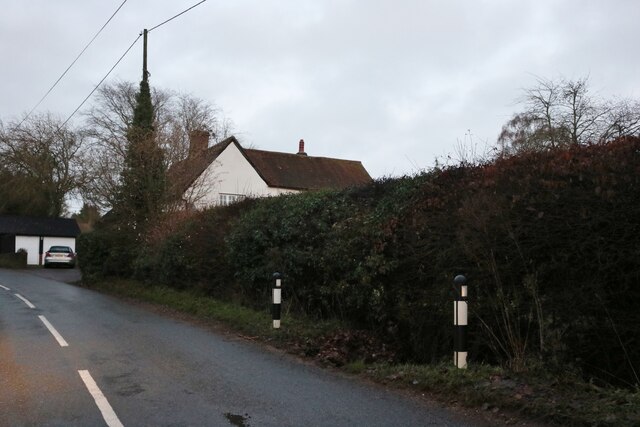
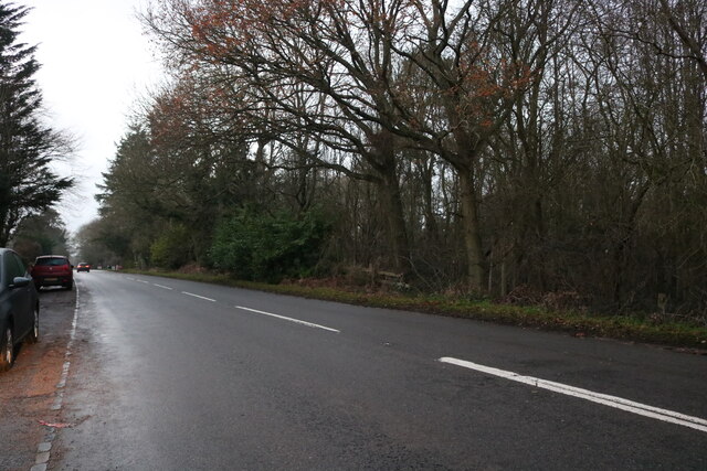
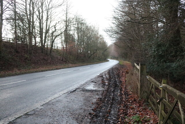
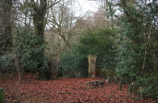
Willow Coppice Images

Images are sourced within 2km of 51.707662/-0.65545886 or Grid Reference SP9301. Thanks to Geograph Open Source API. All images are credited.

Fields by Asheridge Road, Chesham
Westdean Lane Climbing up from Pednor Bottom towards Chartridge.
Westdean Lane
Climbing up from Pednor Bottom towards Chartridge.
Pednor Bottom
Pednor Bottom
Hollow Way This lane is mapped with this name at least at its eastern end, but most of the way it runs along the top of a ridge, and nowhere is it a hollow way. It is used by National Cycle Route 27.
Hollow Way
This lane is mapped with this name at least at its eastern end, but most of the way it runs along the top of a ridge, and nowhere is it a hollow way. It is used by National Cycle Route 27.
View about north from Hollow Way Pednor Road is unseen at the bottom of the valley. Hollow Way is oddly on top of a ridge.
View about north from Hollow Way
Pednor Road is unseen at the bottom of the valley. Hollow Way is oddly on top of a ridge.
Hollow Way Heading west away from Chesham.
Hollow Way
Heading west away from Chesham.
Drydell Lane Heading west away from Chesham.
Drydell Lane
Heading west away from Chesham.
Drydell Lane Heading west away from Chesham.
Drydell Lane
Heading west away from Chesham.
A view across the Friar's Hills The course of the woodland path running to the south of the valley known as Herbert's Hole follows the distant horizon.
A view across the Friar's Hills
The course of the woodland path running to the south of the valley known as Herbert's Hole follows the distant horizon.
Sign for Buslins Lane A public footpath sign indicates a public right of way down a steep hill leading on towards Captain's Wood and Asheridge Bottom.
Sign for Buslins Lane
A public footpath sign indicates a public right of way down a steep hill leading on towards Captain's Wood and Asheridge Bottom.
Warning sign - don’t feed the horses At one end of the dry valley of Ballinger Bottom.
Warning sign - don’t feed the horses
At one end of the dry valley of Ballinger Bottom.
View towards Ballinger Bottom On part of the Chiltern Link route. The fence shown in the foreground has a path running alongside it, visible from here but not from the valley floor from where it is obscured by trees. Likewise, the valley bottom cannot be seen from here for the same reason.
View towards Ballinger Bottom
On part of the Chiltern Link route. The fence shown in the foreground has a path running alongside it, visible from here but not from the valley floor from where it is obscured by trees. Likewise, the valley bottom cannot be seen from here for the same reason.
King's Lane, South Heath
Chesham Road, Hyde End
Chesham Road, Hundridge
Gate in Devil's Den, Hundridge It hasn't been used for a long time as a tree has grown across it.
Gate in Devil's Den, Hundridge
It hasn't been used for a long time as a tree has grown across it.
Devil's Den, Hundridge
Show me another place!

Willow Coppice is located at Grid Ref: SP9301 (Lat: 51.707662, Lng: -0.65545886)

Unitary Authority: Buckinghamshire

Police Authority: Thames Valley

What 3 Words

///frost.cafe.lock. Near Hyde Heath, Buckinghamshire

Related Wikis

Hundridge

Hundridge is a hamlet in the parish of Chartridge, in Buckinghamshire, England. It is located in the Chiltern Hills to the west of the town of Chesham...

Pednor

Pednor is a hamlet in the parish of Chartridge, in Buckinghamshire, England. It is located in the Chiltern Hills two miles northwest of Chesham and seven...

Hyde House, Buckinghamshire

Hyde House is a Grade II listed early 18th-century country house near Hyde Heath in Buckinghamshire, England. It had previously belonged to Woburn Abbey...

Pednor House

Pednor House (formerly known as Little Pednor) is a house near Chartridge parish of Buckinghamshire. It has been listed Grade II on the National Heritage...

Nearby Amenities

Located within 500m of 51.707662,-0.65545886
Devils Den
Place: locality
Source: OS 1:25k
Lat/Long: 51.704389/-0.6506338
Historic: chapel
Ruins: yes
Source: OS 1st. Ed.
Lat/Long: 51.705586/-0.651594
The data included in this document is from www.openstreetmap.org. The data is made available under ODbL.

Have you been to Willow Coppice?

Leave your review of Willow Coppice below (or comments, questions and feedback).